Village Tumbalá, Chiapas
Ch'ol-area seat at 1,413 m with 3,996 people, in a municipality that includes the Agua Azul falls; Yajalón is about 23 km away.
From Palenque: 1 h 45 min by car (87 km by road) How to get there ↓
Near here
See everything nearby ↓



Plan your visit to Tumbalá
Where to stay near Tumbalá
Compare hotels, posadas and guest houses in Tumbalá.
Tours to Tumbalá
Day trips and guided outings from Palenque often include Tumbalá; with a local guide you can get there without a car.
 PALENQUE RUINS, AGUA AZUL and MISOL-HA (Private)
★ 4.6 (10) · From US$225
How to get to Tumbalá
- From Palenque: about 1 h 45 min by road (~87 km)
- Nearest airport: Villahermosa (VSA), 1 h 47 min by car to Palenque
Links open a partner site. We may earn a commission if you book, at no cost to you.
Popular tours to Tumbalá
Tours, prices and ratings from Viator, checked weekly. We may earn a commission if you book.
About Tumbalá
Tumbalá is the seat of a municipality of 38,025 people in northern Chiapas, created in 1915. The town sits at about 1,413 metres and had 3,996 residents in 2020, 92.7 percent of them indigenous. Oddly, it is not the municipality's largest locality: Joshil, with 4,034, edges it out. The name is Nahuatl and is read two ways, “turned wood” and “house of the nine words”.\n\nTumbalá Ch'ol is one of the three main varieties of the language, with about 90,000 speakers cited for the municipality and roughly 30 percent monolingual, though the figure is old. The municipality borders Salto de Agua, Chilón, Yajalón and Tila and has 124 localities. The Agua Azul falls lie inside its boundaries, and most people know them from the Palenque-Ocosingo highway; the seat itself is a separate trip, well into the interior.\n\nIt is a mountain town you visit for everyday life rather than one particular sight. I had no reliable source at hand to date its fiestas or market, so ask in town. Ask permission before photographing people.
How to get to Tumbalá
Drive from Palenque: 1 h 45 min, 87 km
From Yajalón it is about 23 km and roughly 30 minutes by car, and it is the nearest neighbouring seat. From Palenque it is about 87 km and close to 1 hour 45 minutes; from San Cristóbal de las Casas about 145 km and around three hours. The nearest airport with flights is Palenque (PQM).\n\nI found no published timetable, line name or departure terminal for colectivos or buses to Tumbalá. The sensible approach is to reach Yajalón, the neighbouring seat, and ask there about local transport; I did not confirm a direct OCC or ADO service.\n\nThe Agua Azul falls, in the same municipality, have a different access: from Palenque, along Highway 199 toward Ocosingo, roughly 64 to 70 km depending on the source; they are not on the way to the seat.
Directions to Tumbalá on Google Maps
Distances are in a straight line; the road is usually longer.
Links open a partner site. We may earn a commission if you book, at no cost to you.
From the nearest cities to Tumbalá
- Palenque · 87 km by road, 1 h 45 min
- Tuxtla Gutiérrez · about 135 km by road, ~2 h
- Villahermosa · 151 km by road, 2 h 10 min
Drive times by road from OpenStreetMap, without traffic or stops. Times marked ~ are estimated from the straight-line distance.
Visiting Tumbalá: what to see and do
The square and centre of the seat, at 1,413 metres.\nThe Tumbalá variety of Ch'ol, heard in town.\nJoshil, the municipality's biggest locality (4,034 people).\nThe Agua Azul falls, inside the municipality, though they are visited from the Palenque-Ocosingo highway and not from the seat.
Plan your trip
Places to stay in Tumbalá
Compare hotels, posadas, and rentals in and around Tumbalá.
Tours & activities
Day trips and guided outings from Palenque often include Tumbalá; with a local guide you can get there without a car.
Rental cars
Pick up a car at VSA (Villahermosa): about 1 h 47 min by road to Palenque, then 44 km more to Tumbalá, on your own schedule.
Flights
The nearest airport with scheduled flights is Villahermosa (VSA), about 1 h 47 min by road from Palenque, the base for Tumbalá.
Mobile data
Signal can drop away from Palenque: download a map of the way to Tumbalá before you set out, or carry an eSIM with data.
Links open a partner site. We may earn a commission if you book, at no cost to you.
When to go to Tumbalá warm
Tumbalá shares the climate of Palenque, 44 km away. The best months to visit are January, February, March, and December.
See the month-by-month climate of Palenque
Weather in Tumbalá now and the next 7 days
Live forecast from Open-Meteo. Chance of rain is the day's highest.
The closest Pueblo Mágico: Palenque

Palenque is the Pueblo Mágico closest to Tumbalá, with places to stay, food, and more to see.
Also close to
- Tapijulapa · Tabasco · 53 km away
- San Cristóbal de Las Casas · Chiapas · 69 km away
- Teapa · Tabasco · 74 km away
Closest to Tumbalá
-
Agua Azul · Waterfall · 21 km away
-
Sabanilla · Village · 25 km away
-
Agua Clara · Nature reserve · 27 km away
-
Misol-Há · Waterfall · 36 km away
-
Zona Arqueológica de Palenque · Archaeological site · 37 km away
-
Cascadas de Roberto Barrios · Waterfall · 42 km away
-
Profesor Roberto Barrios · Village · 42 km away
-
Andador Guadalupano (Ocosingo) · Landmark · 47 km away


Near Tumbalá

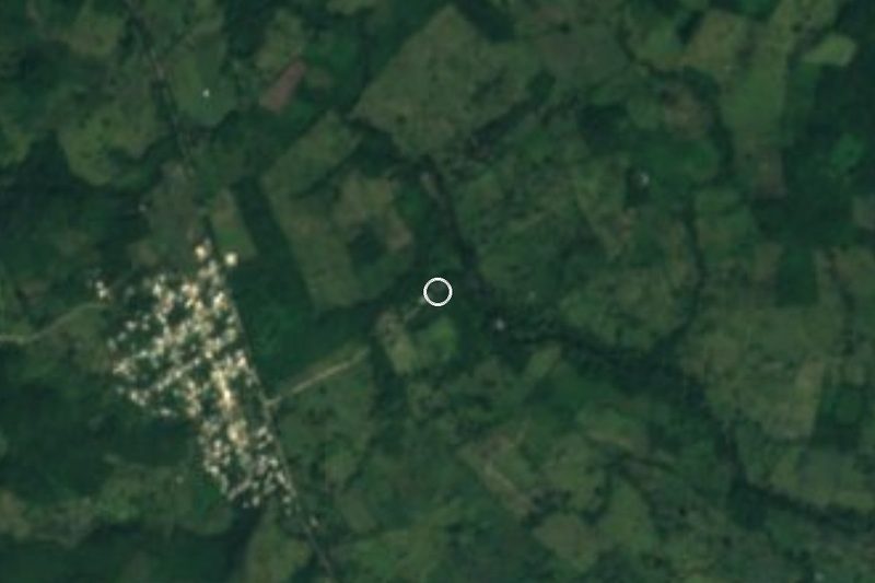


Drive times by road from OpenStreetMap, without traffic. Times marked ~ are estimated from the straight-line distance.
Location from OpenStreetMap. Written by Puebloteca.