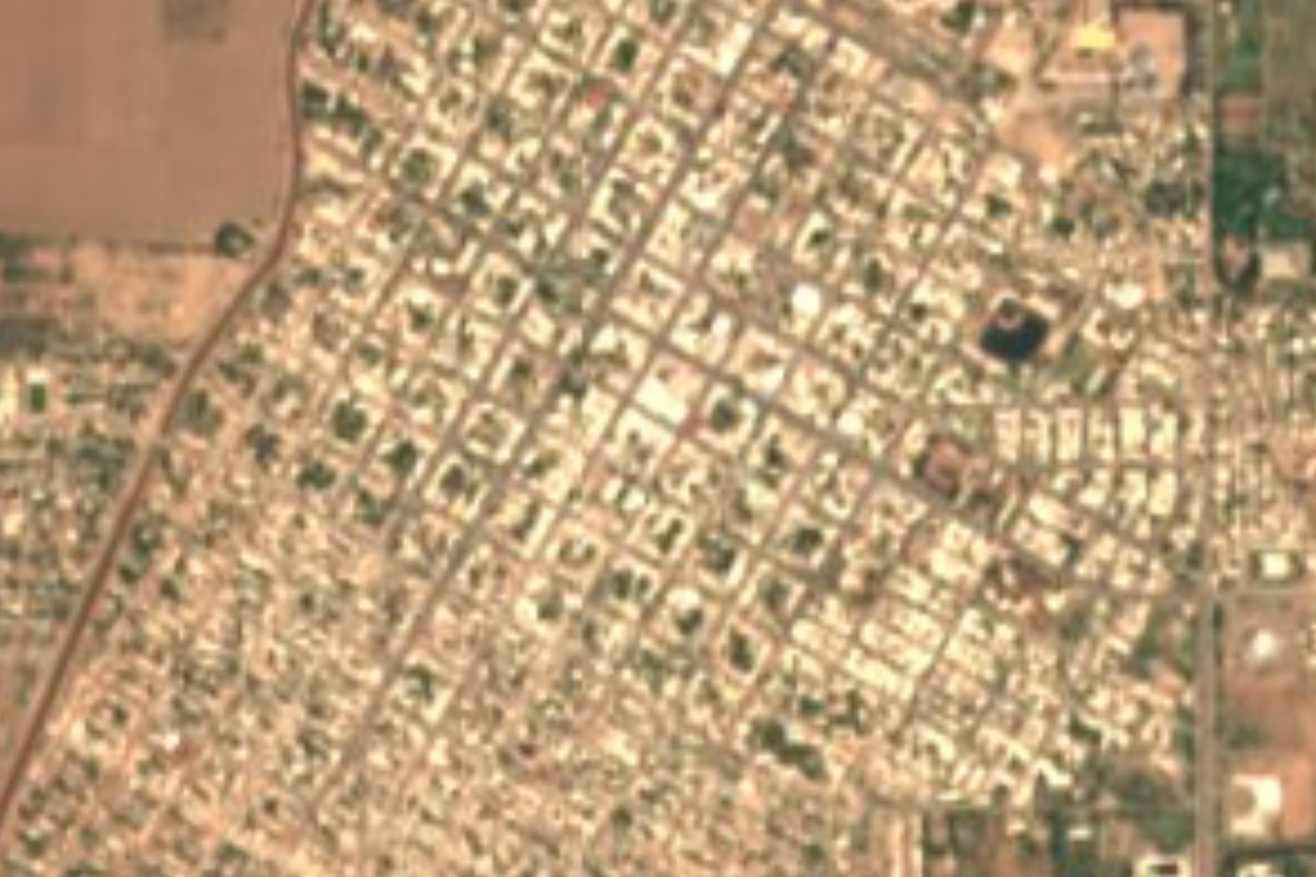
Town Huatabampo, Sonora
Land of generals near the mouth of the Mayo River: Álvaro Obregón's house museum and grave, Yoreme cooking and the beaches of Huatabampito.
From Navojoa: 35 min by car (38 km by road) How to get there ↓
Plan your visit to Huatabampo
Where to stay near Huatabampo
Compare hotels, posadas and guest houses in Huatabampo.
Tours to Huatabampo
Day trips around Álamos sometimes stop in Huatabampo; a tour is the easy way to see it without a car.
How to get to Huatabampo
- From Navojoa: about 35 min by road (~38 km)
- Nearest airport: Ciudad Obregón (CEN), 1 h 39 min by car to Álamos
Links open a partner site. We may earn a commission if you book, at no cost to you.
About Huatabampo
Huatabampo, head town of its municipality, sits just 8 meters above sea level near the point where the Mayo River meets the Gulf of California. The town had 30,324 residents in 2020. Its Mayo-language name is usually translated as willow in the water, and locals still use its old nickname, Tierra de Generales, for the Revolution commanders who came from here.
This was, and is, Mayo country. In 1614 the Jesuits Pedro Méndez and Diego de la Cruz, escorted by Captain Diego Martínez de Hurdaide, entered the valley and set up mission villages such as Juliantabampo, Chijubampo and Pueblo Viejo, run from Santa Cruz del Mayo. Today's town was born of a river flood in May 1890, when Colonel Antonio del Rincón sent men to look for high ground and families, including those of Chijubampo, moved there. The name Huatabampo came into official use that year, and the town was made a city in 1927.
Álvaro Obregón looms over local memory. He lived here for years before serving as president from 1920 to 1924, his former home is now the Museo Casa del General Álvaro Obregón, and he is buried in the town's old cemetery. José Tiburcio Otero, a general and later governor of Sonora, was put in charge of the Mayo line from Huatabampo in 1891.
The food blends Yoreme cooking with the sea. Look for colache, a stew of squash, corn, green chile and cheese; wacabaqui, a beef stew with corn, green beans, chickpeas, cabbage and squash; frijoles maneados, beans cooked with cheese until they turn stringy; and the coyota huatabampense, a fried corn-masa turnover filled with beef, chicken or cheese, unrelated to Hermosillo's sweet coyota. Horchata and barley water are the usual drinks.
The municipality has about 120 km of coastline, and its economy runs on fishing, shrimp farms and fields of chickpeas, vegetables and grain. Huatabampito, Las Bocas and Camahuiroa are the favorite beaches. Huatabampito alone has roughly 20 km of sand, and whales can be seen offshore in the first months of the year. In the south of the municipality, Navopatia has mangroves and pitaya cactus forest, and there is also the Moroncarit estuary. The climate is hot desert, with summer highs above 38 °C.
How to get to Huatabampo
Drive from Navojoa: 35 min, 38 km
From Ciudad Obregón, take Federal Highway 15 south to Navojoa (64 km), then continue 34 km southwest on state highways 149 and 56; about 98 km in all, roughly an hour and a half. State Highway 176 is another link to Highway 15. Álamos, the nearest Pueblo Mágico, is about 82 km away via Navojoa, where Albatros buses make the climb into the hills in around an hour.
Directions to Huatabampo on Google Maps
Distances are in a straight line; the road is usually longer.
Links open a partner site. We may earn a commission if you book, at no cost to you.
From the nearest cities to Huatabampo
- Navojoa · 38 km by road, 35 min
- Ciudad Obregón · 106 km by road, 1 h 30 min
- Los Mochis · 164 km by road, 2 h
Drive times by road from OpenStreetMap, without traffic or stops. Times marked ~ are estimated from the straight-line distance.
Before you go to Huatabampo: hours, prices and tips
- Best time of day
- Winter is mild, with lows around 8 °C in January and February; June to August top 38 °C, and the rains fall from July to September. Wikipedia (es) · checked Oct 2026
- Best season
- Whales can be seen off the beaches of Huatabampito in the first months of the year. Tus Buenas Noticias · checked Oct 2026
Hours and prices change, especially around holidays. Each fact links to where we checked it.
Visiting Huatabampo: what to see and do
Visit the Museo Casa del General Álvaro Obregón in the president's former home.
Find Obregón's grave in the town cemetery.
Try colache, wacabaqui and the corn-masa coyota huatabampense.
Spend a day at Huatabampito beach and, early in the year, look for whales.
Try the beaches of Las Bocas and Camahuiroa.
Explore the mangroves and pitaya forest of Navopatia.
Watch birds at the Moroncarit estuary.
Plan your trip
Places to stay in Huatabampo
Compare hotels, posadas, and rentals in and around Huatabampo.
Tours & activities
Day trips around Álamos sometimes stop in Huatabampo; a tour is the easy way to see it without a car.
Rental cars
Pick up a car at CEN (Ciudad Obregón): about 1 h 39 min by road to Álamos, then 73 km more to Huatabampo, on your own schedule.
Flights
The nearest airport with scheduled flights is Ciudad Obregón (CEN), about 1 h 39 min by road from Álamos, the base for Huatabampo.
Mobile data
Signal can drop away from Álamos: download a map of the way to Huatabampo before you set out, or carry an eSIM with data.
Links open a partner site. We may earn a commission if you book, at no cost to you.
When to go to Huatabampo warm
Huatabampo shares the climate of Álamos, 73 km away. The best months to visit are January, February, March, and November.
See the month-by-month climate of Álamos
Weather in Huatabampo now and the next 7 days
Live forecast from Open-Meteo. Chance of rain is the day's highest.
The closest Pueblo Mágico: Álamos

Álamos is the Pueblo Mágico closest to Huatabampo, with places to stay, food, and more to see.
Closest to Huatabampo
-
Navojoa · City · 34 km away

Near Huatabampo



Drive times by road from OpenStreetMap, without traffic. Times marked ~ are estimated from the straight-line distance.
Location from OpenStreetMap. Written by Puebloteca.