Town Cajeme, Sonora Municipality of Cajeme
Yaqui Valley farm town 18 km from Ciudad Obregón: founded in 1895 as Campo 9, it grew with irrigation and the 1937 ejido.
From Ciudad Obregón: 25 min by car (25 km by road) How to get there ↓
Plan your visit to Pueblo Yaqui
Where to stay near Pueblo Yaqui
Compare hotels, posadas and guest houses in Pueblo Yaqui.
Tours to Pueblo Yaqui
Day trips around Sonora sometimes stop in Pueblo Yaqui; a tour is the easy way to see it without a car.
How to get to Pueblo Yaqui
- From Ciudad Obregón: about 25 min by road (~25 km)
Links open a partner site. We may earn a commission if you book, at no cost to you.
About Pueblo Yaqui
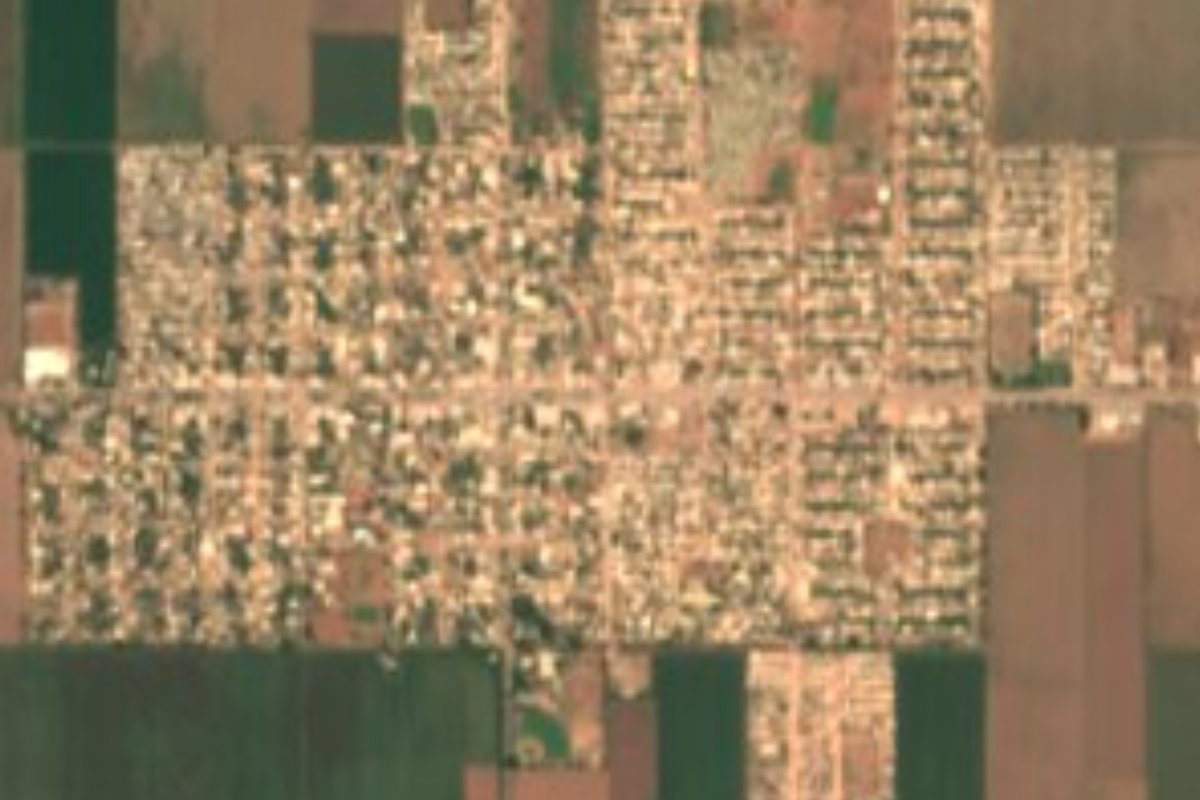
Pueblo Yaqui, a comisaría of Cajeme, lies in the center of the Yaqui Valley at 18 meters above sea level and about 18 km from Ciudad Obregón. With 14,173 people in 2020 it is the third-largest town in Sonora that is not a municipal seat. It is not a tourist destination but a working farm town ringed by irrigated fields, worth a stop for anyone curious about how the Yaqui Valley became the region's granary.
It was founded in 1895 as Campo 9, and in its early years it was called Congregación Yaqui because it sat on that tribe's land. Settlers came from Sinaloa and Durango looking for work and land, many along dirt tracks from Pótam. Clearing began in 1908 with hand tools and moved slowly amid raids and crop burnings blamed on the Yaquis. A railway was once planned along today's Emiliano Zapata street, linking the town to the United States and the rest of Mexico, but the line was moved north to where Ciudad Obregón now stands, and the town lost that boost.
Irrigation and rich soil still brought newcomers: the Esquer brothers and the poet Solano Vidal Esquer arrived in 1915 and 1916, and around 1917 families of German, Canadian and Yugoslav origin came down from the United States during the First World War. In 1937 President Lázaro Cárdenas granted 17,000 hectares of cropland and 24,000 of grazing land, creating the El Yaqui ejido. One of the town's edges is Calle 5, also named for Norman Borlaug.
Town life centers on the bandstand, where events are held, and on Emiliano Zapata street, with its Benito Juárez monument and a public library in the old municipal market. Baseball is taken seriously, with teams in the valley's inter-ejido and teachers' leagues and several ballparks to watch them.
How to get to Pueblo Yaqui
Drive from Ciudad Obregón: 25 min, 25 km
Pueblo Yaqui is 18 km from Ciudad Obregón, about 25 minutes by car on the valley's paved roads, which follow a grid of numbered streets and irrigation canals; leave central Obregón heading southwest. Ciudad Obregón has an airport and sits on Federal Highway 15. Álamos, the nearest Pueblo Mágico, is about 130 km away: back to Obregón, 64 km south on Highway 15 to Navojoa, then 48 km up into the hills.
Directions to Pueblo Yaqui on Google Maps
Distances are in a straight line; the road is usually longer.
Links open a partner site. We may earn a commission if you book, at no cost to you.
From the nearest cities to Pueblo Yaqui
- Ciudad Obregón · 25 km by road, 25 min
- Navojoa · 78 km by road, 1 h 5 min
- Guaymas · 138 km by road, 1 h 55 min
Drive times by road from OpenStreetMap, without traffic or stops. Times marked ~ are estimated from the straight-line distance.
Visiting Pueblo Yaqui: what to see and do
Stop by the bandstand, the heart of the town.
Walk Emiliano Zapata street to the Benito Juárez monument.
Look into the public library in the old municipal market.
Catch a game of the Yaqui Valley's inter-ejido baseball league.
Drive the irrigated fields and canals of the valley.
Plan your trip
Places to stay in Pueblo Yaqui
Compare hotels, posadas, and rentals in and around Pueblo Yaqui.
Tours & activities
Day trips around Sonora sometimes stop in Pueblo Yaqui; a tour is the easy way to see it without a car.
Mobile data
Signal can drop away from Sonora: download a map of the way to Pueblo Yaqui before you set out, or carry an eSIM with data.
Links open a partner site. We may earn a commission if you book, at no cost to you.
Closest to Pueblo Yaqui


Near Pueblo Yaqui



Drive times by road from OpenStreetMap, without traffic. Times marked ~ are estimated from the straight-line distance.
Location from OpenStreetMap. Written by Puebloteca.