Lake Álamos, Sonora Municipality of Álamos
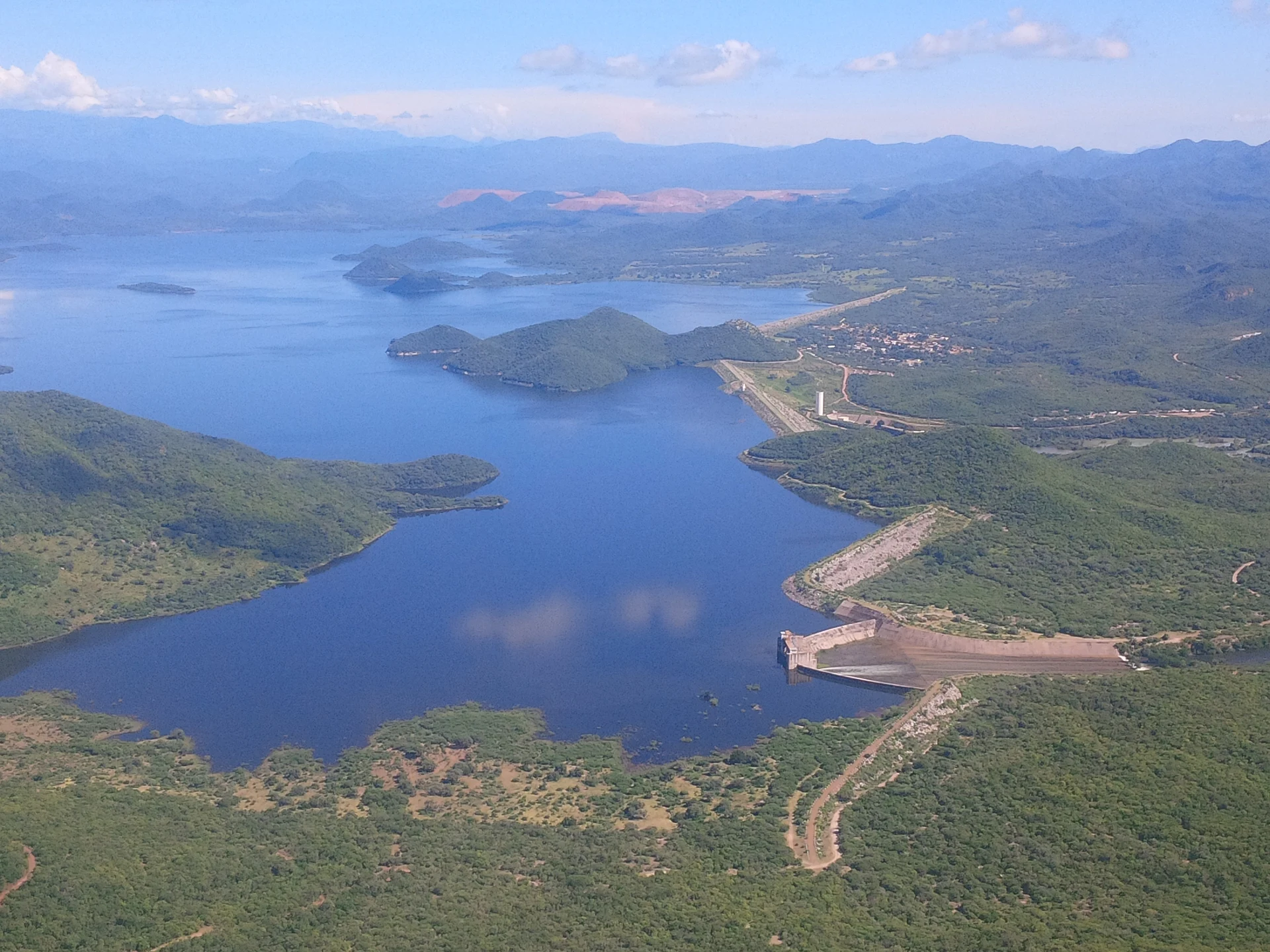
The Adolfo Ruiz Cortines dam holds back the Río Mayo among low forested hills: bass, catfish and mojarra, with El Mocúzari village by the wall.
From Navojoa: about 45 min by road (~50 km) How to get there ↓
Near here
See everything nearby ↓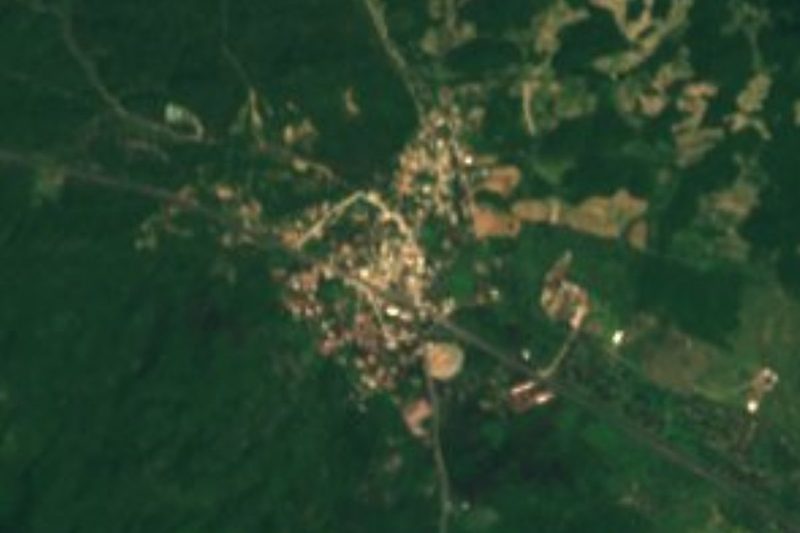


Plan your visit to Presa Mocúzari
Where to stay near Presa Mocúzari
Compare hotels, posadas and guest houses in Presa Mocúzari.
Tours to Presa Mocúzari
Day trips and guided outings from Álamos often include Presa Mocúzari; with a local guide you can get there without a car.
How to get to Presa Mocúzari
- From Navojoa: about 45 min by road (~50 km)
- Nearest airport: Ciudad Obregón (CEN), 1 h 39 min by car to Álamos
Links open a partner site. We may earn a commission if you book, at no cost to you.
About Presa Mocúzari
Maps call it the Adolfo Ruiz Cortines dam; everyone in the Mayo Valley calls it the Mocúzari. A 775-meter earth embankment blocks the Río Mayo in the northwest of Álamos municipality, close to the Navojoa line. It went up in the 1950s to feed Irrigation District 038 Río Mayo, supply Navojoa, Etchojoa and Huatabampo, and tame the river's floods. A small hydro plant with a single Kaplan turbine sits below the wall; Conagua owns the dam and CFE runs the plant.
The reservoir started out holding 1,100 million cubic meters, raised to 1,300 million by a 1968 enlargement, though silt has since eaten into that. Its level swings hard from year to year. In 1985 it overflowed, about 20,000 people were evacuated and floodwater cut the international highway north of Navojoa. At the other extreme, in March 2024 it held only 8.7 million cubic meters, under 1 percent and the lowest on record, against 480 million on the same date a year earlier.
Next to the wall lies El Mocúzari, also called Conicárit, home to 652 people in 2020. The name is from the Mayo language and means house or place of the crow. It began as the Jesuit mission of San Andrés de Conicari and became a municipal seat in 1903, was nearly deserted by the early 1920s, and came back to life when the dam forced the settlement to move to where it stands now.
Most visitors come to fish for largemouth bass, catfish and mojarra. The Álamos town government restocks the reservoir: in May 2026 it released 385,000 tilapia fry, its third stocking of the year.
How to get to Presa Mocúzari
From Navojoa take state highway SON-162 toward Álamos and, partway along, turn left onto the road to the El Mocúzarit dam, about 15 km to the village and the dam wall: 1 h 11 min and 49 km by road in all. From Álamos head down the same SON-162 toward Navojoa to that turn-off: 1 h 5 min and 44 km. We found no public transport to the dam; come by car, or by taxi from Navojoa or Álamos.
Directions to Presa Mocúzari on Google Maps
Distances are in a straight line; the road is usually longer.
Links open a partner site. We may earn a commission if you book, at no cost to you.
From the nearest cities to Presa Mocúzari
- Navojoa · about 50 km by road, ~45 min
- Ciudad Obregón · about 115 km by road, ~1 h 40 min
- Los Mochis · about 210 km by road, ~3 h 5 min
Drive times by road from OpenStreetMap, without traffic or stops. Times marked ~ are estimated from the straight-line distance.
Visiting Presa Mocúzari: what to see and do
The 775 m earth embankment and the view over the reservoir and its hills
The small hydro plant below the dam
Bass, catfish and mojarra fishing on the reservoir
El Mocúzari (Conicárit), the village moved when the dam was built
Plan your trip
Places to stay in Presa Mocúzari
Compare hotels, posadas, and rentals in and around Presa Mocúzari.
Tours & activities
Day trips and guided outings from Álamos often include Presa Mocúzari; with a local guide you can get there without a car.
Rental cars
Pick up a car at CEN (Ciudad Obregón): about 1 h 39 min by road to Álamos, then 27 km more to Presa Mocúzari, on your own schedule.
Flights
The nearest airport with scheduled flights is Ciudad Obregón (CEN), about 1 h 39 min by road from Álamos, the base for Presa Mocúzari.
Travel insurance
If you plan on swimming or kayaking at Presa Mocúzari, check that your policy covers it: some plans leave adventure activities out.
Mobile data
Signal can drop away from Álamos: download a map of the way to Presa Mocúzari before you set out, or carry an eSIM with data.
Links open a partner site. We may earn a commission if you book, at no cost to you.
When to go to Presa Mocúzari warm
Presa Mocúzari shares the climate of Álamos, 27 km away. The best months to visit are January, February, March, and November.
Presa Mocúzari is best for swimming and time on the water in the warmest months (May, June, and July); in the rainiest ones (July, August, and September) expect storms in the afternoon.
See the month-by-month climate of Álamos
Weather in Presa Mocúzari now and the next 7 days
Live forecast from Open-Meteo. Chance of rain is the day's highest.
The closest Pueblo Mágico: Álamos

Álamos is the Pueblo Mágico closest to Presa Mocúzari, with places to stay, food, and more to see.
Closest to Presa Mocúzari
-
Minas Nuevas · Town · 21 km away
-
La Aduana · Town · 23 km away
-
Parque La Colorada · Nature reserve · 28 km away
-
Navojoa · City · 37 km away
-
Sierra de Álamos–Río Cuchujaqui · Nature reserve · 41 km away
Near Presa Mocúzari
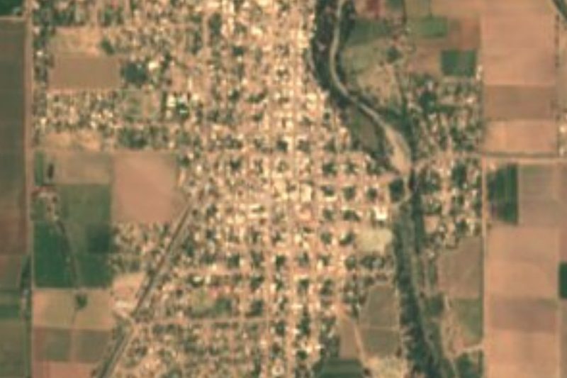
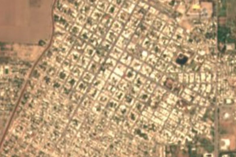

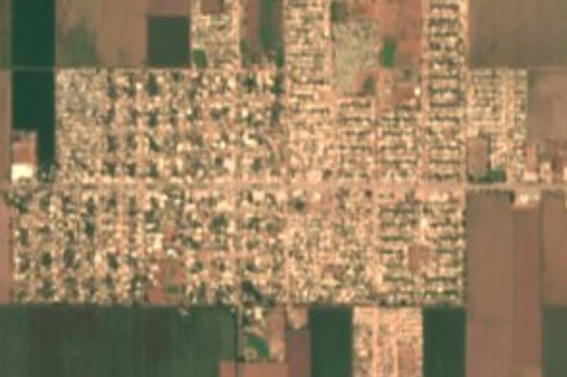

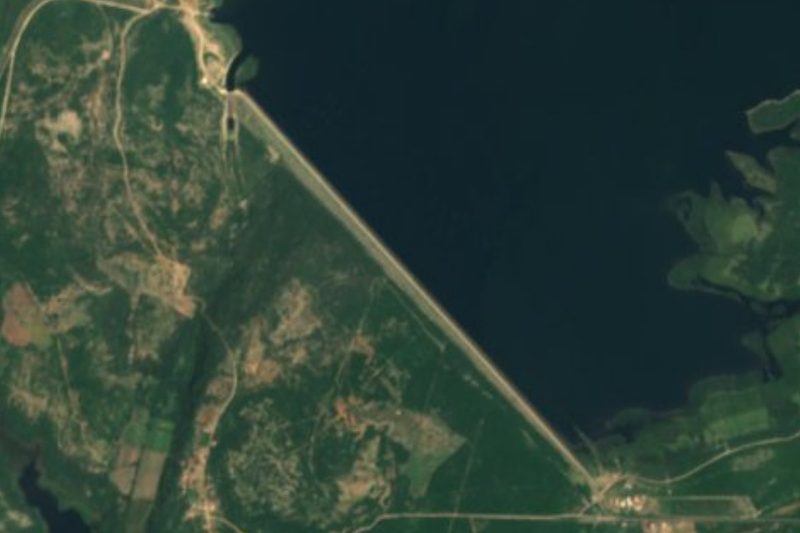
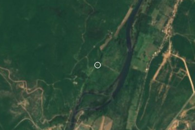
Drive times by road from OpenStreetMap, without traffic. Times marked ~ are estimated from the straight-line distance.
Lists with Presa Mocúzari
Lakes and Lagoons in Sonora · 3Location from OpenStreetMap. Written by Puebloteca.