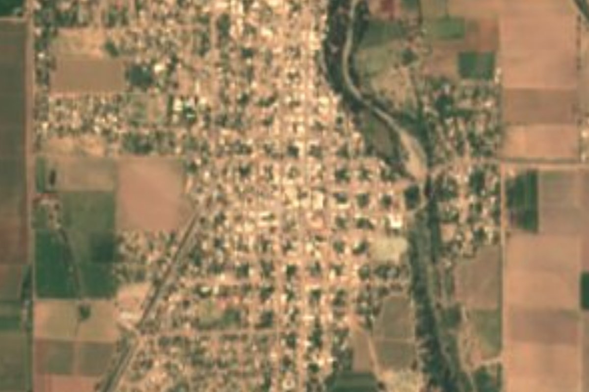
Town Etchojoa, Sonora
Mayo valley farm town whose Mayo name means 'snake in the water'; Lázaro Cárdenas came in 1939 to calm its divided ejido.
From Navojoa: about 25 min by road (~30 km) How to get there ↓
Plan your visit to Bacobampo
Where to stay near Bacobampo
Compare hotels, posadas and guest houses in Bacobampo.
Tours to Bacobampo
Day trips around Álamos sometimes stop in Bacobampo; a tour is the easy way to see it without a car.
How to get to Bacobampo
- From Navojoa: about 25 min by road (~30 km)
- Nearest airport: Ciudad Obregón (CEN), 1 h 39 min by car to Álamos
Links open a partner site. We may earn a commission if you book, at no cost to you.
About Bacobampo
Bacobampo sits on the west bank of the Mayo River in southern Sonora, an agricultural town ringed by fields a little over 20 meters above sea level. It lies about 20 km north of Huatabampo and is the second largest settlement in Etchojoa municipality, with 8,267 people in the 2020 census. The Mayo people have lived in this valley since before the Spanish arrived, and Mayo families founded the town around 1880.
Its first name was Cumbrocoa or Cumbrocobe. The current one, from the Mayo Baakot béampo, "snake in the water", stuck in 1895, when the river ran dry and people noticed snakes in the pools left behind. In 1903 the Salido brothers came down from Álamos to farm here; two years later the ranchería was made a delegación, and in 1920 the brothers split their land, Ildefonso and Epifanio keeping Bacobampo while José María moved to Basconcobe. They grew wheat, maize, beans and chickpeas. On 1 January 1929 Bacobampo became a comisaría.
The federal dams of the 1930s set off a farming boom and a rush of newcomers. In 1938, under the land reform, the Bacobampo hacienda was handed to 802 peasants as a collective ejido. They soon split into "collectivists", who wanted to keep sharing the profits, and "individualists", who wanted to farm their own plots, and the quarrel turned violent. It got bad enough that President Lázaro Cárdenas came in person in June 1939 to restore the peace.
How to get to Bacobampo
From Navojoa it is 30 min and 27 km by road: leave Federal Highway 15 at Navojoa and take State Highway 147, which ends in Bacobampo. Álamos, the nearest Pueblo Mágico, is 1 h 25 min and 79 km by road, back through Navojoa. There is no direct bus: Albatros and Tufesa run many daily departures from Navojoa (García Morales Sur street) to Etchojoa, and from there a taxi covers the last stretch to Bacobampo.
Directions to Bacobampo on Google Maps
Distances are in a straight line; the road is usually longer.
Links open a partner site. We may earn a commission if you book, at no cost to you.
From the nearest cities to Bacobampo
- Navojoa · about 30 km by road, ~25 min
- Ciudad Obregón · about 80 km by road, ~1 h 10 min
- Los Mochis · about 190 km by road, ~2 h 50 min
Drive times by road from OpenStreetMap, without traffic or stops. Times marked ~ are estimated from the straight-line distance.
Visiting Bacobampo: what to see and do
The west bank of the Mayo River, where the town saw its snakes in 1895
The wheat, maize, bean and chickpea fields around the town
The ejido Lázaro Cárdenas visited in June 1939
Basconcobe, the neighboring town where José María Salido settled
Plan your trip
Places to stay in Bacobampo
Compare hotels, posadas, and rentals in and around Bacobampo.
Tours & activities
Day trips around Álamos sometimes stop in Bacobampo; a tour is the easy way to see it without a car.
Rental cars
Pick up a car at CEN (Ciudad Obregón): about 1 h 39 min by road to Álamos, then 71 km more to Bacobampo, on your own schedule.
Flights
The nearest airport with scheduled flights is Ciudad Obregón (CEN), about 1 h 39 min by road from Álamos, the base for Bacobampo.
Mobile data
Signal can drop away from Álamos: download a map of the way to Bacobampo before you set out, or carry an eSIM with data.
Links open a partner site. We may earn a commission if you book, at no cost to you.
When to go to Bacobampo warm
Bacobampo shares the climate of Álamos, 71 km away. The best months to visit are January, February, March, and November.
See the month-by-month climate of Álamos
Weather in Bacobampo now and the next 7 days
Live forecast from Open-Meteo. Chance of rain is the day's highest.
The closest Pueblo Mágico: Álamos

Álamos is the Pueblo Mágico closest to Bacobampo, with places to stay, food, and more to see.
Closest to Bacobampo
-
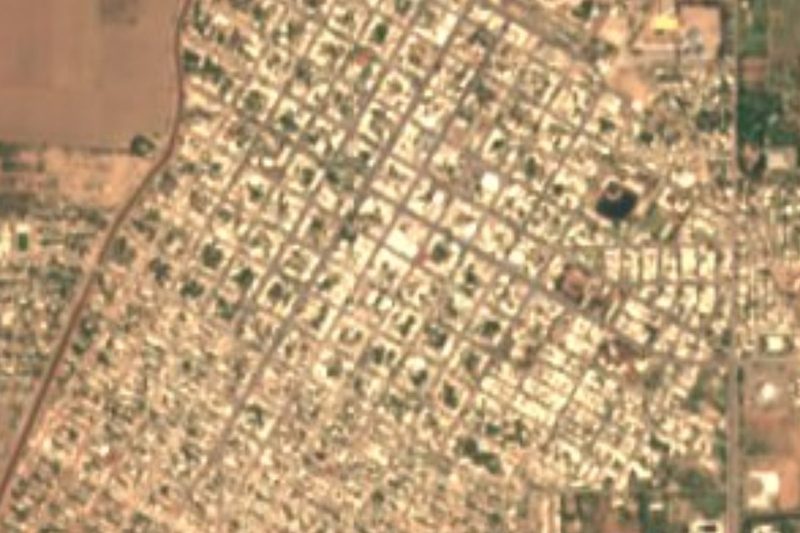
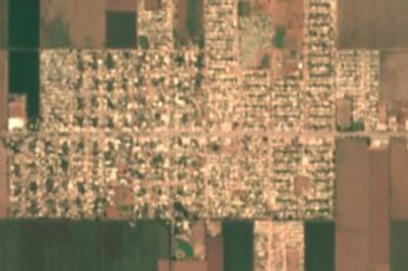
Huatabampo · Town · 18 km away
-
Navojoa · City · 23 km away

Near Bacobampo




Drive times by road from OpenStreetMap, without traffic. Times marked ~ are estimated from the straight-line distance.
Location from OpenStreetMap. Written by Puebloteca.