Beach Guaymas, Sonora Municipality of Guaymas Sonora coast
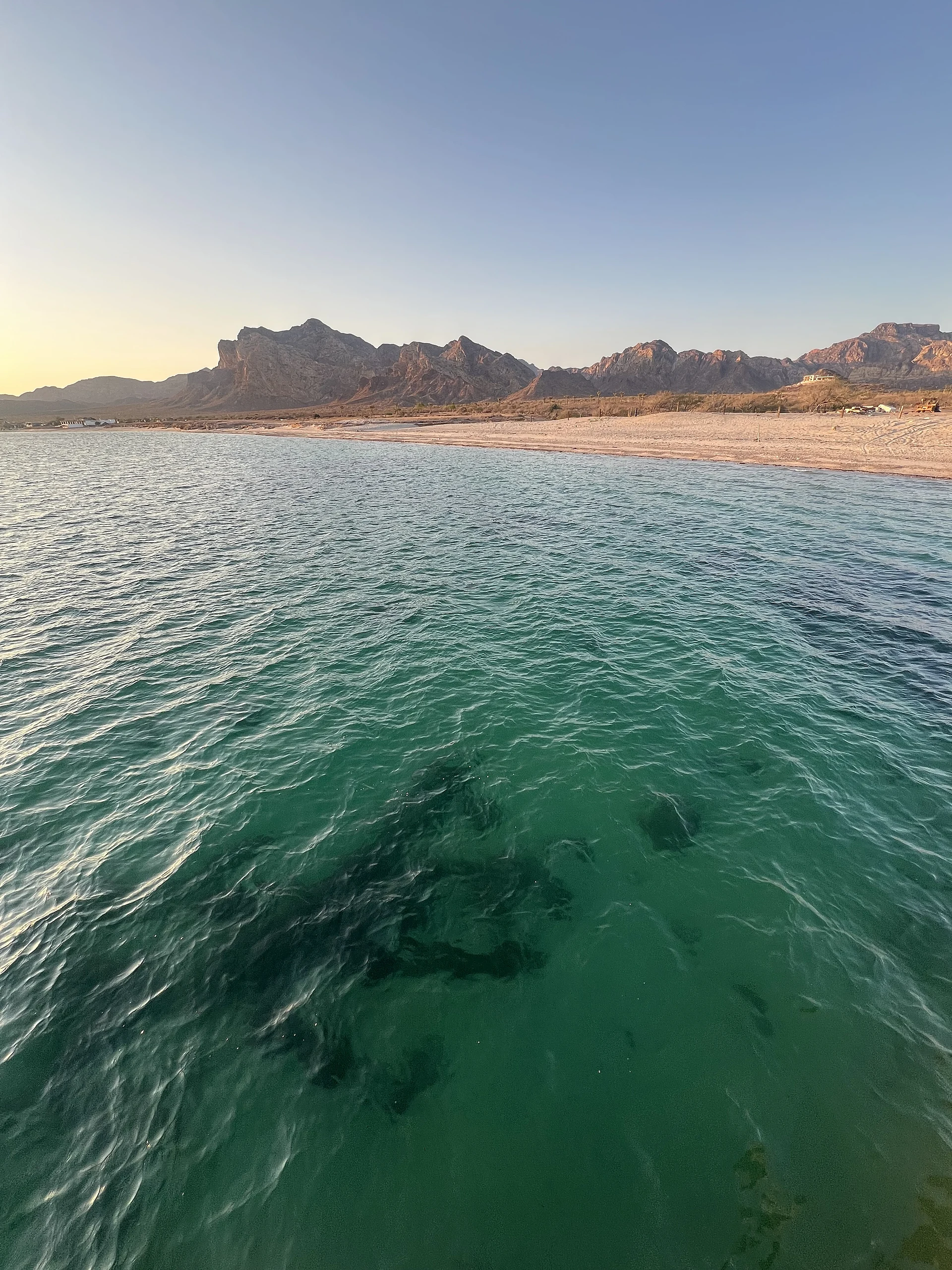
Fishing camp and beach west of San Carlos where the pavement ends: pangas, painted houses and the day's catch on the Sea of Cortez.
From Guaymas: about 25 min by road (~30 km) How to get there ↓
Near here
See everything nearby ↓




Plan your visit to La Manga
Where to stay near La Manga
Compare hotels, posadas and guest houses in La Manga.
Tours to La Manga
Day trips and guided outings from San Carlos often include La Manga; with a local guide you can get there without a car.
How to get to La Manga
- From Guaymas: about 25 min by road (~30 km)
- Nearest airport: Guaymas (GYM), 20 min by car to San Carlos
Links open a partner site. We may earn a commission if you book, at no cost to you.
About La Manga
La Manga is the fishing camp at the end of the road, on the far side of the hill that divides San Carlos from its marinas. The asphalt stops here and a dirt road carries on along the shore. It is a small place: 185 people lived here at the 2020 census (96 women, 89 men), up from 146 in 2010, in tin-roofed houses about 7 meters above the sea, with bare desert mountains behind and a sand beach in front.
Fishing is the living. The village's own fishing outfit, La Manga Restaurante Doña Rosita, has since 2017 been part of a fishery improvement project with two Guaymas cooperatives, 29 de Agosto and El Resbalón, working toward the Marine Stewardship Council's sustainability standard. The boats fish by handline, mostly around San Pedro Nolasco island, for five species: rooster hind, ocean whitefish, gold-spotted sand bass, yellowtail and Pacific red snapper, baited with mackerel, squid and sardines.
The catch ends up on the tables at Doña Rosita's own restaurant, which looks out over the water: whole fish, fillets, shrimp platters and margaritas. It closes early, so plan on lunch rather than dinner. Several houses in the village carry bright murals, among them a shark across a tin wall, and they are a good excuse to walk its dirt lanes.
Past the village the dirt road runs on to La Manga Dos and La Manga Tres, beaches where local families camp on weekends and holidays. Farther along are campsites by the shore and up on the cliffs, a paid campground with services and a hike to natural springs. The climate is desert, averaging about 24 °C over the year with very little rain.
How to get to La Manga
From Guaymas, the nearest city, take Federal Highway 15 north to the San Carlos turn-off and drive west through San Carlos, around the hill, to where the pavement ends: 40 min and 32 km by road. From San Carlos, the nearest Pueblo Mágico, it is 20 min and 14 km. The road on to La Manga Dos and La Manga Tres is washboard dirt, with soft sand and steep climbs on some side tracks. We found no bus route that reaches La Manga; come by car or by taxi from San Carlos.
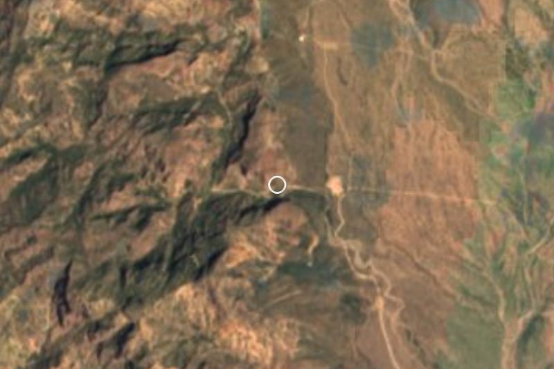
Directions to La Manga on Google Maps
Distances are in a straight line; the road is usually longer.
Links open a partner site. We may earn a commission if you book, at no cost to you.
From the nearest cities to La Manga
- Guaymas · about 30 km by road, ~25 min
- Hermosillo · about 165 km by road, ~2 h 25 min
- Ciudad Obregón · about 170 km by road, ~2 h 30 min
Drive times by road from OpenStreetMap, without traffic or stops. Times marked ~ are estimated from the straight-line distance.
Visiting La Manga: what to see and do
The sand beach in front of the fishing camp
Pangas coming in with yellowtail, red snapper and sand bass
Doña Rosita's restaurant, with the day's fish and a sea view
The murals painted on the village houses
The camping beaches of La Manga Dos and La Manga Tres
The hike to the springs beyond the dirt road
Plan your trip
Places to stay in La Manga
Compare hotels, posadas, and rentals in and around La Manga.
Tours & activities
Day trips and guided outings from San Carlos often include La Manga; with a local guide you can get there without a car.
Rental cars
Pick up a car at GYM (Guaymas): about 20 min by road to San Carlos, then 10 km more to La Manga, on your own schedule.
Flights
The nearest airport with scheduled flights is Guaymas (GYM), about 20 min by road from San Carlos, the base for La Manga.
Travel insurance
If you plan on swimming or surfing at La Manga, check that your policy covers it: some plans leave adventure activities out.
Mobile data
Signal can drop away from San Carlos: download a map of the way to La Manga before you set out, or carry an eSIM with data.
Links open a partner site. We may earn a commission if you book, at no cost to you.
When to go to La Manga warm
La Manga shares the climate of San Carlos, 10 km away. The best months to visit are February, April, May, and November.
La Manga is best for swimming and time on the water in the warmest months (June, July, and August); in the rainiest ones (March, August, and September) expect storms in the afternoon.
See the month-by-month climate of San Carlos
Weather in La Manga now and the next 7 days
Live forecast from Open-Meteo. Chance of rain is the day's highest.
The closest Pueblo Mágico: San Carlos

San Carlos is the Pueblo Mágico closest to La Manga, with places to stay, food, and more to see.
Closest to La Manga
-
Playa Los Algodones · Beach · 3 km away
-
Mirador Escénico · Viewpoint · 6 km away
-
Piedras Pintas · Beach · 6 km away
-
Cañón del Nacapule · Nature reserve · 9 km away
-
Estero El Soldado · Nature reserve · 15 km away
-
Isla San Pedro Nolasco · Nature reserve · 25 km away
Near La Manga


Drive times by road from OpenStreetMap, without traffic. Times marked ~ are estimated from the straight-line distance.
Lists with La Manga
Beaches in Sonora · 4 Beaches near Guaymas · 3Location from OpenStreetMap. Written by Puebloteca.