Archaeological site Hermosillo, Sonora Municipality of Hermosillo
A Sierra Libre canyon south of Hermosillo with over 2,000 recorded rock paintings; access is restricted and the site is managed by INAH.
From Hermosillo: 1 h by car (63 km by road) How to get there ↓
Plan your visit to La Pintada
Where to stay near La Pintada
Compare hotels, posadas and guest houses in La Pintada.
Tours to La Pintada
A guide brings La Pintada to life: look for tours from San Carlos that include the site and the ride there.
How to get to La Pintada
- From Hermosillo: about 1 h by road (~63 km)
- Nearest airport: Guaymas (GYM), 20 min by car to San Carlos
Links open a partner site. We may earn a commission if you book, at no cost to you.
About La Pintada
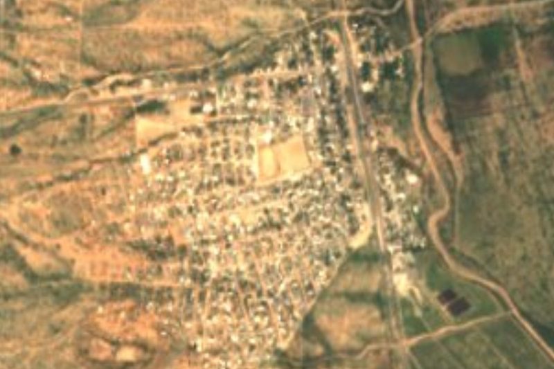
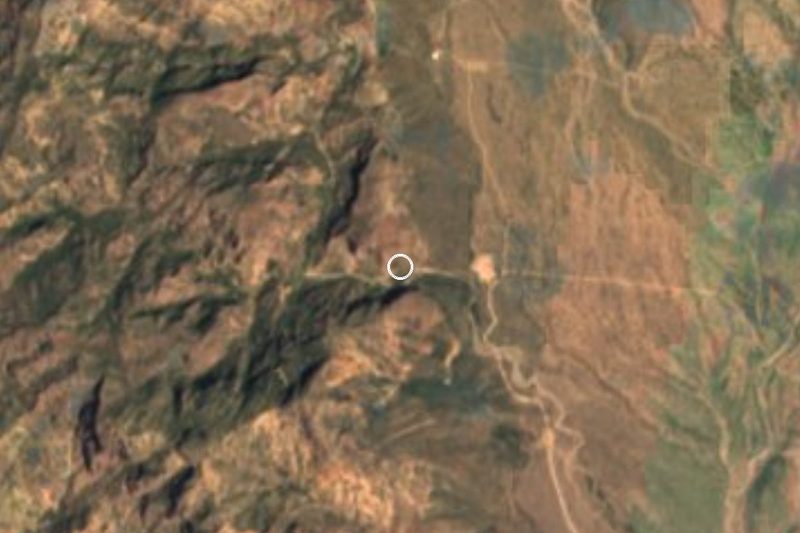
La Pintada is a narrow canyon in the Sierra Libre, a rocky massif rising from the desert plain about 56 km south of Hermosillo, and it holds one of the largest concentrations of rock paintings anywhere in Mexico. There are no buildings or pyramids. The site is the canyon itself, a natural oasis whose rock basins fill with water after the summer and winter rains, and its walls covered with painted figures. Archaeologists read it as a ceremonial place rather than a settlement.
The first systematic record came from archaeologist Miguel Messmacher in the early 1960s, who counted around 400 paintings. From 2007, a project of the Centro INAH Sonora led by Eréndira Contreras Barragán (1955–2024) cleaned and photographed the panels one by one, and by 2016 the digital record passed 2,000 images. They show deer, reptiles, birds and human figures in several colors. The best-known panel, about 1 m by 1.2 m, depicts a boy riding a deer, a scene linked to a Seri myth. The same team found more than 20 sites with polychrome paintings in the surrounding complex, dated from around AD 400 to the 19th century.
On the alluvial plain outside the canyon, excavations turned up seasonal camps of hunter-gatherer-fishers: stone tools, grinding stones, shell worked into ornaments and sherds of Tiburón Plain pottery, made from about AD 700 by the Central Coast tradition, which many anthropologists see as ancestral to the Comcaac (Seri). La Pintada is the inland limit of that coastal tradition. Much later, in the 17th and 18th centuries, Seri, Yaqui and Pima groups were still using the canyon for ritual.
INAH's national conservation office has run more than ten field seasons stabilizing the painted rock. In September 2015, a flash flood through the canyon wrecked the visitor walkways and stored scaffolding, although the paintings themselves came through with little damage. Access to the site is restricted and it has no regular public opening, so anyone hoping to see it should contact the Centro INAH Sonora in Hermosillo first.
How to get to La Pintada
Drive from Hermosillo: 1 h, 63 km
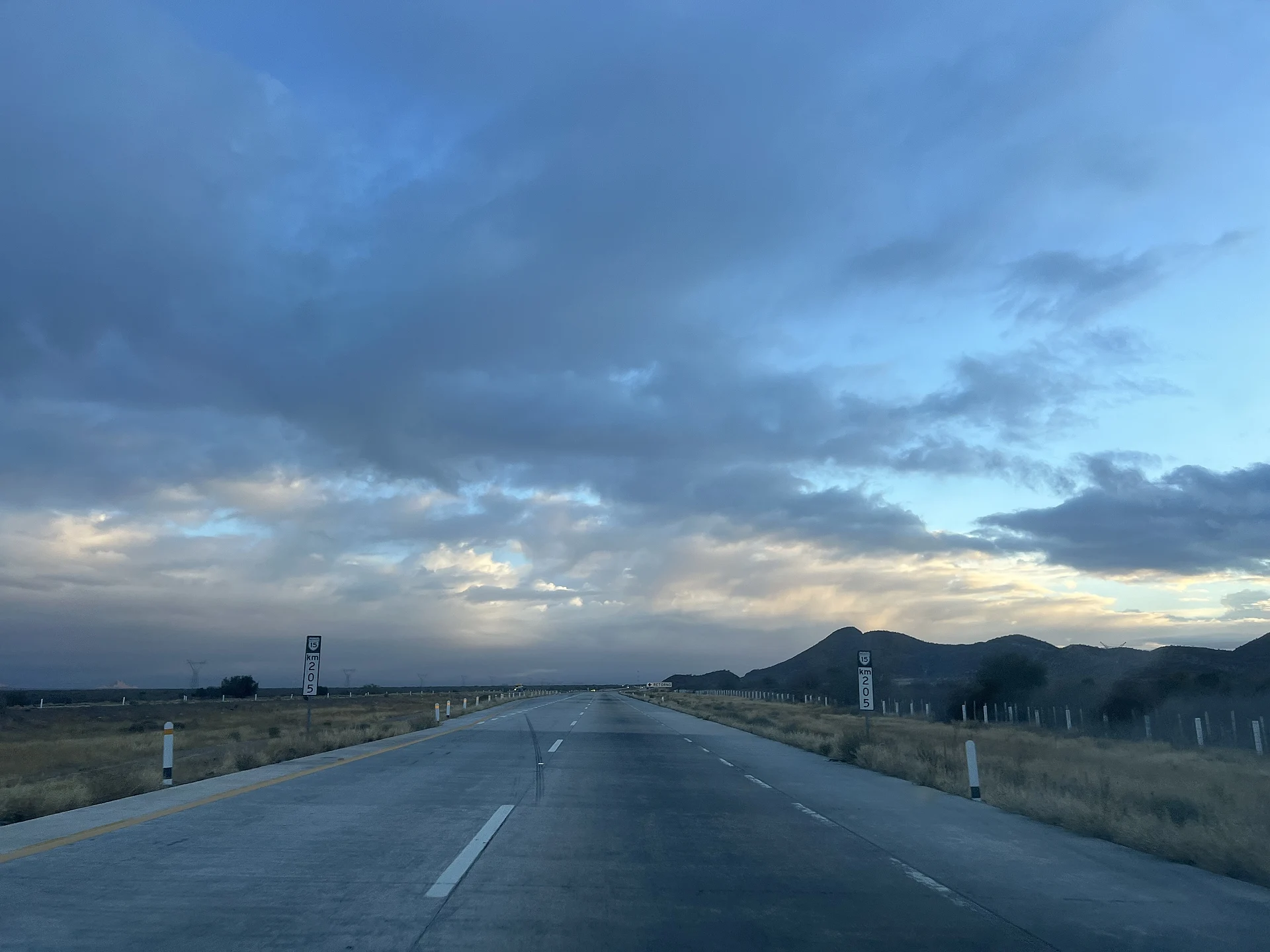
La Pintada lies about 56 km south of Hermosillo, the nearest city, in the Sierra Libre east of Federal Highway 15 to Guaymas; allow about 50 minutes by car. The canyon has no regular public opening: visits depend on the Centro INAH Sonora in Hermosillo. San Carlos, the nearest Pueblo Mágico, is reached by carrying on south along Highway 15 to Guaymas and taking the San Carlos turn-off, about an hour and a quarter in all.
Directions to La Pintada on Google Maps
Distances are in a straight line; the road is usually longer.
Links open a partner site. We may earn a commission if you book, at no cost to you.
From the nearest cities to La Pintada
- Hermosillo · 63 km by road, 1 h
- Guaymas · 90 km by road, 1 h 15 min
- Ciudad Obregón · 207 km by road, 2 h 40 min
Drive times by road from OpenStreetMap, without traffic or stops. Times marked ~ are estimated from the straight-line distance.
Before you go to La Pintada: hours, prices and tips
- Rules
- Access to the site is restricted; there is no regular public opening. México Desconocido · checked Oct 2026
Hours and prices change, especially around holidays. Each fact links to where we checked it.
Visiting La Pintada: what to see and do
The panel of a boy riding a deer, the site's best-known image.
Panels of deer, reptiles, birds and human figures along the canyon walls.
The natural rock pools that fill after summer and winter rains.
The Sierra Libre, a rocky massif standing out of the desert plain.
The Museo Regional de Sonora in Hermosillo, for context on the region's peoples.
Plan your trip
Places to stay in La Pintada
Compare hotels, posadas, and rentals in and around La Pintada.
Tours & activities
A guide brings La Pintada to life: look for tours from San Carlos that include the site and the ride there.
Rental cars
Pick up a car at GYM (Guaymas): about 20 min by road to San Carlos, then 69 km more to La Pintada, on your own schedule.
Flights
The nearest airport with scheduled flights is Guaymas (GYM), about 20 min by road from San Carlos, the base for La Pintada.
Mobile data
Signal can drop away from San Carlos: download a map of the way to La Pintada before you set out, or carry an eSIM with data.
Links open a partner site. We may earn a commission if you book, at no cost to you.
When to go to La Pintada warm
La Pintada shares the climate of San Carlos, 69 km away. The best months to visit are February, April, May, and November.
See the month-by-month climate of San Carlos
Weather in La Pintada now and the next 7 days
Live forecast from Open-Meteo. Chance of rain is the day's highest.
The closest Pueblo Mágico: San Carlos

San Carlos is the Pueblo Mágico closest to La Pintada, with places to stay, food, and more to see.
Near La Pintada


Drive times by road from OpenStreetMap, without traffic. Times marked ~ are estimated from the straight-line distance.
Location from OpenStreetMap. Written by Puebloteca.