

Landmark Barrio Mágico Food and drink Churches and shrines Fiestas Hermosillo, Sonora Municipality of Hermosillo
Hermosillo's oldest quarter, across the Río Sonora from downtown: the Candelaria sanctuary and plaza, 18th-century houses and the coyota bakers.
From Hermosillo: about 5 min by road (~5 km) How to get there ↓
Near here
See everything nearby ↓

Plan your visit to Villa de Seris
Where to stay near Villa de Seris
Compare hotels, posadas and guest houses in Villa de Seris.
Tours to Villa de Seris
Look for tours of the area around Ures that stop at Villa de Seris.
How to get to Villa de Seris
- From Hermosillo: about 5 min by road (~5 km)
- Nearest airport: Hermosillo (HMO), 1 h 28 min by car to Ures
Links open a partner site. We may earn a commission if you book, at no cost to you.
About Villa de Seris
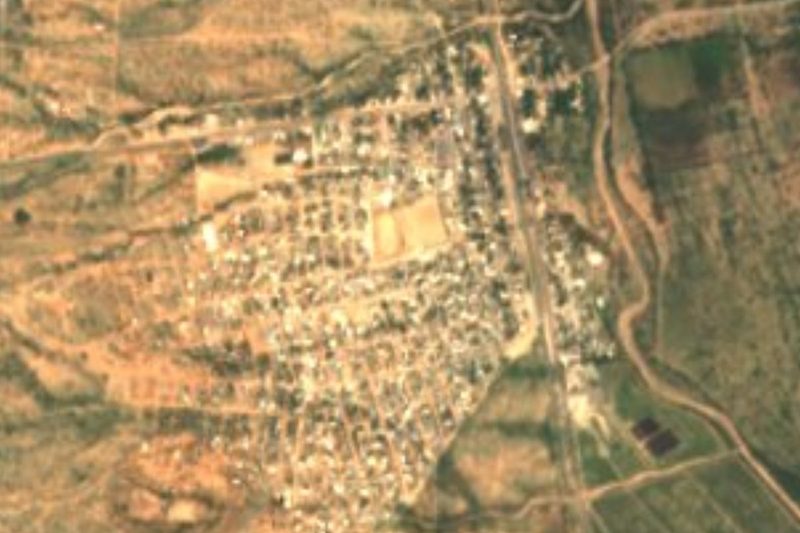
Villa de Seris is Hermosillo's old quarter, south of downtown on the far side of the Río Sonora riverbed. For centuries it was a separate town growing up opposite the city, and in February 2023 it became the first Barrio Mágico in northern Mexico and the third in the country, after downtown Chetumal and the Barrio de Tlaxcala in San Luis Potosí. Tourism Secretary Miguel Torruco and Governor Alfonso Durazo presented the designation to Mayor Antonio Astiazarán.
The colonial settlement dates from 1742, and remains of the first presidio of Pitic, from which the Spanish ruled over the Seri, survive here. Comcáac (Seri) families later settled in the village, which became known as Pueblo de Seris. It stayed a separate town until 1939, when it was absorbed into Hermosillo, and its short streets still hold houses from the 18th and 19th centuries.
Its heart is the Plaza de la Candelaria, with a wrought-iron bandstand, and the church of Nuestra Señora de la Candelaria, raised from parish to sanctuary in 2015 because of the devotion it draws. Tradition says the image first stood at La Sauceda, until the river carried it off, then in front of the Universidad Kino, before coming here. Hundreds of worshippers come every day, some from Ensenada, La Paz, Mexicali, Ciudad Obregón or the United States, and on February 2, Candlemas, families bring the Christ Child figure to be presented at the altar. Close by is the Plaza de los Tres Pueblos, a tribute to the communities the village grew from.
Villa de Seris is also the birthplace of the coyota, the flour tortilla filled with piloncillo sugar that is now sold all over Sonora. In 1954 María Ochoa González began baking them from a recipe given to her by Agustina Araiza, a neighbour from the village, and her descendants later took them as far as Arizona. Today one street is lined with coyota shops, and on Calle Álvaro Obregón the Xochimilco restaurant is still known for its carne asada.
How to get to Villa de Seris
Villa de Seris is 1.5 km south of Plaza Zaragoza, across the Río Sonora riverbed: a few minutes by taxi or a walk from downtown, best early or at dusk because of the heat. Hermosillo's Central de Autobuses, on the east side of the city, is about 4 km away, and General Ignacio Pesqueira García International Airport, to the west, is 12 km (about 15 minutes by road). Taxis are cheap and easy to call or have your hotel book, and ride-hailing apps work too. City buses cost about 9 pesos with a card topped up at Oxxo (2022), but routes are confusing for newcomers, so for a short visit a taxi is easier. Ures, the nearest Pueblo Mágico, is 78 km away by road, about 1 h 20 min.
Directions to Villa de Seris on Google Maps
Distances are in a straight line; the road is usually longer.
Links open a partner site. We may earn a commission if you book, at no cost to you.
From the nearest cities to Villa de Seris
- Hermosillo · about 5 km by road, ~5 min
- Guaymas · about 165 km by road, ~2 h 25 min
- Ciudad Obregón · about 265 km by road, ~3 h 50 min
Drive times by road from OpenStreetMap, without traffic or stops. Times marked ~ are estimated from the straight-line distance.
Before you go to Villa de Seris: hours, prices and tips
- Best season
- Fiesta de la Candelaria on February 2, when families bring the Christ Child to be presented at the sanctuary. El Imparcial (2024) · checked Oct 2026
Hours and prices change, especially around holidays. Each fact links to where we checked it.
Visiting Villa de Seris: what to see and do
Stroll the Plaza de la Candelaria and its iron bandstand, best at dusk when it lights up.
Step into the sanctuary of Nuestra Señora de la Candelaria.
Visit the Plaza de los Tres Pueblos, dedicated to the communities that founded the village.
Buy fresh coyotas at the shops on the coyota street.
Eat carne asada at the Xochimilco restaurant on Calle Álvaro Obregón.
Walk the neighbourhood's cultural promenade and look at the 18th- and 19th-century façades.
Come on February 2 for the Candelaria feast.
Plan your trip
Places to stay in Villa de Seris
Compare hotels, posadas, and rentals in and around Villa de Seris.
Tours & activities
Look for tours of the area around Ures that stop at Villa de Seris.
Rental cars
Pick up a car at HMO (Hermosillo): about 1 h 28 min by road to Ures, then 68 km more to Villa de Seris, on your own schedule.
Flights
The nearest airport with scheduled flights is Hermosillo (HMO), about 1 h 28 min by road from Ures, the base for Villa de Seris.
Mobile data
Signal can drop away from Ures: download a map of the way to Villa de Seris before you set out, or carry an eSIM with data.
Links open a partner site. We may earn a commission if you book, at no cost to you.
When to go to Villa de Seris warm
Villa de Seris shares the climate of Ures, 68 km away. The best months to visit are January, February, November, and December.
See the month-by-month climate of Ures
Weather in Villa de Seris now and the next 7 days
Live forecast from Open-Meteo. Chance of rain is the day's highest.
The closest Pueblo Mágico: Ures

Ures is the Pueblo Mágico closest to Villa de Seris, with places to stay, food, and more to see.
Closest to Villa de Seris
-
Hermosillo · City · 1 km away
-
Presa Abelardo L. Rodríguez · Lake · 6 km away
-
Pesqueira · Town · 35 km away
Near Villa de Seris


Drive times by road from OpenStreetMap, without traffic. Times marked ~ are estimated from the straight-line distance.
Location from OpenStreetMap. Written by Puebloteca.