
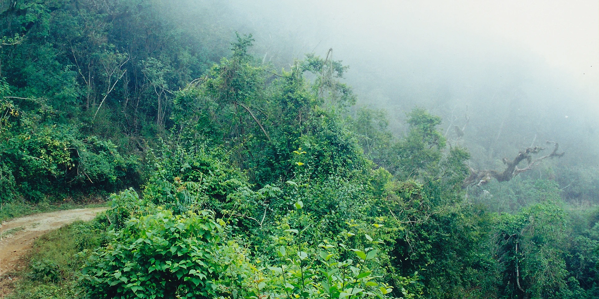
Nature reserve Gómez Farías, Tamaulipas
Mexico's northernmost cloud forest: 144,530 hectares of mountains with jaguars, bears and 430 bird species, entered from Gómez Farías.
From Ciudad Mante: 1 h 15 min by car (61 km by road) How to get there ↓
Plan your visit to El Cielo
Where to stay near El Cielo
Compare hotels, posadas and guest houses in El Cielo.
Tours to El Cielo
Day trips and guided outings from Tula often include El Cielo; with a local guide you can get there without a car.
How to get to El Cielo
- From Ciudad Mante: about 1 h 15 min by road (~61 km)
- Nearest airport: Ciudad Victoria (CVM), 2 h 26 min by car to Tula
Links open a partner site. We may earn a commission if you book, at no cost to you.
About El Cielo
El Cielo is the most important protected area in northeastern Mexico: 144,530 hectares of the Sierra Madre Oriental, in the Sierra de Cucharas, spread across the municipalities of Gómez Farías, Llera, Jaumave and Ocampo. The state of Tamaulipas protected it in 1985, and since 1987 it has been part of UNESCO's network of biosphere reserves. It exists to protect cloud forest, the northernmost in Mexico, along with the country's northernmost tropical forest. The mountains climb from about 200 metres on the plain to more than 2,300 metres at the summits, and that slope holds several worlds.
On the eastern foothills, between 200 and 800 metres, grows semi-deciduous tropical forest about 20 metres tall. Between 800 and 1,400 metres is the cloud forest proper: about 2,500 mm of rain a year, moss and fungi everywhere and trees up to 30 metres; more than a thousand plant species have been recorded there, with maples, hickories, hornbeams and redbuds related to those of the eastern United States growing among tropical species. Higher up come oaks and pines, and on the leeward slopes, in the rain shadow, desert scrub: Jaumave, at the northwestern entrance, gets only 450 mm a year. The rains run from May to October, November to April is dry, and frost is common above 1,000 metres in winter.
Six species of wild cat live in the reserve, none of them common (jaguar, puma, ocelot, margay, jaguarundi and bobcat), along with a small population of black bears; surveys in the lowland forest estimated about six jaguars per 100 km². At least 255 bird species are resident and more than 175 migrants have been recorded, among them the military macaw, great curassow, yellow-headed parrot and the Tamaulipas pygmy owl, endemic to the region, plus a garter snake and two salamanders found nowhere else.
El Cielo's modern story begins with a Canadian, John William Francis "Pancho" Harrison, who in 1935 homesteaded at 1,140 metres in the cloud forest and called his farm Rancho El Cielo. The ornithologists George Sutton and Olin Pettingill arrived in 1941, and between 1948 and 1953 Paul S. Martin made a classic study of the area's reptiles and amphibians here. As logging and roads pushed in during the 1950s, Harrison handed his land to a non-profit in 1965; he was murdered the following year in a land dispute. His farm is now a biological research station.
A visit starts in Gómez Farías. A few kilometres west, on a paved road, is the Ecological Interpretive Centre, a circular building with floor-to-ceiling windows facing the forest at 360 metres. From there the old road climbs to Alta Cima at 910 metres, a community of about 180 people with cabins, a campsite, local guides and a botanical garden, and goes on to San José in the heart of the reserve, about two and a half hours by four-wheel drive from Gómez Farías. From San José trails lead to streams, waterfalls and caves such as the Cueva del Agua, and the route continues to the Piedra del Elefante and Joya de Manantiales, where a waterfall forms in the rainy season.
How to get to El Cielo
Drive from Ciudad Mante: 1 h 15 min, 61 km
From Ciudad Victoria it is about 115 km, around an hour and three quarters: take federal highway 85 south toward Ciudad Mante and turn off on state road 58 to Gómez Farías, the main gateway. From Ciudad Mante it is about 48 km, under an hour. From Tampico it is about 200 km, roughly 3 hours, via Mante. From the Interpretive Centre a dirt road climbs to Alta Cima and San José; it needs four-wheel drive or a local guide with transport. The nearest Pueblo Mágico is Tula, about 117 km (1 hour 45) away by the Mante–Ocampo–Tula highway.
Directions to El Cielo on Google Maps
Distances are in a straight line; the road is usually longer.
Links open a partner site. We may earn a commission if you book, at no cost to you.
From the nearest cities to El Cielo
- Ciudad Mante · 61 km by road, 1 h 15 min
- Ciudad Victoria · 125 km by road, 2 h 15 min
- Ciudad Valles · 155 km by road, 2 h 45 min
Drive times by road from OpenStreetMap, without traffic or stops. Times marked ~ are estimated from the straight-line distance.
Before you go to El Cielo: hours, prices and tips
- Hours
- The Ecological Interpretive Centre is open 10:00–17:00 and closed on Mondays and Tuesdays. Wikivoyage: El Cielo Biosphere Reserve · checked Oct 2026
- Best time of day
- The dry season runs from November to April, mildest from December to February; May to October is wet, sometimes over 300 mm a month, and it freezes above 1,000 m in winter. Wikipedia (en): El Cielo Biosphere Reserve; Wikivoyage · checked Oct 2026
- What to bring
- Comfortable clothes and shoes, water, sunscreen, and a map or guide if it is your first time; follow the protected area's rules. POSTA México · checked Oct 2026
Hours and prices change, especially around holidays. Each fact links to where we checked it.
Visiting El Cielo: what to see and do
Start at the Ecological Interpretive Centre west of Gómez Farías, with its view over the forest.
Climb to Alta Cima, with its botanical garden, cabins and local guides.
Spend at least one night in San José, in the heart of the reserve, in a cabin or a tent.
Hike to the Piedra del Elefante and Joya de Manantiales, which has a waterfall in the rainy season.
Look for birds: military macaw, great curassow, yellow-headed parrot and the Tamaulipas pygmy owl.
Visit the Cueva del Agua, with its stalactites and stalagmites.
Eat at the cafés of Gómez Farías and try the local mangoes in season.
Plan your trip
Places to stay in El Cielo
Compare hotels, posadas, and rentals in and around El Cielo.
Tours & activities
Day trips and guided outings from Tula often include El Cielo; with a local guide you can get there without a car.
Rental cars
Pick up a car at CVM (Ciudad Victoria): about 2 h 26 min by road to Tula, then 53 km more to El Cielo, on your own schedule.
Flights
The nearest airport with scheduled flights is Ciudad Victoria (CVM), about 2 h 26 min by road from Tula, the base for El Cielo.
Travel insurance
If you plan on hiking at El Cielo, check that your policy covers it: some plans leave adventure activities out.
Mobile data
Signal can drop away from Tula: download a map of the way to El Cielo before you set out, or carry an eSIM with data.
Links open a partner site. We may earn a commission if you book, at no cost to you.
When to go to El Cielo mild
El Cielo shares the climate of Tula, 53 km away. The best months to visit are January, March, November, and December.
See the month-by-month climate of Tula
Weather in El Cielo now and the next 7 days
Live forecast from Open-Meteo. Chance of rain is the day's highest.
The closest Pueblo Mágico: Tula

Tula is the Pueblo Mágico closest to El Cielo, with places to stay, food, and more to see.
Closest to El Cielo

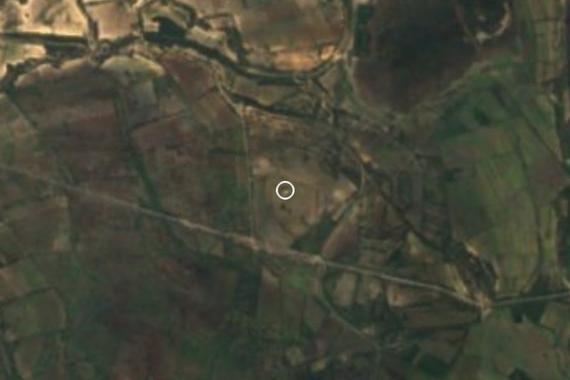
Near El Cielo


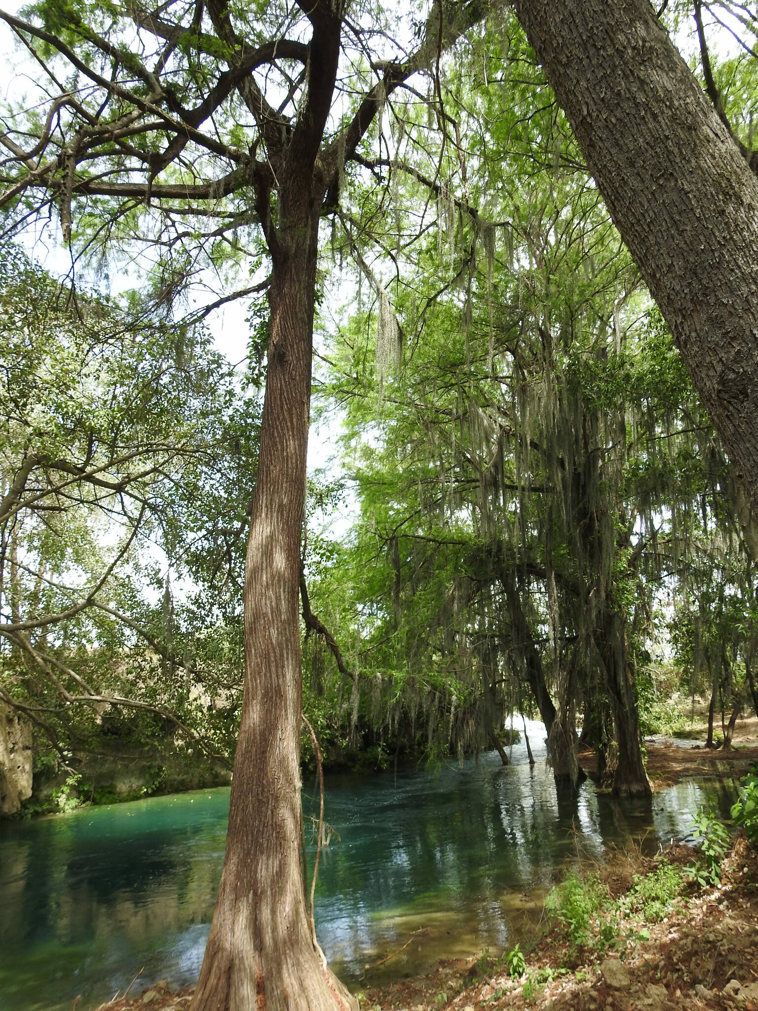
Drive times by road from OpenStreetMap, without traffic. Times marked ~ are estimated from the straight-line distance.
Location from OpenStreetMap. Written by Puebloteca.