


Cave Tinum, Yucatán Municipality of Tinum Eastern Yucatán
A Maya ceremonial cave near Chichén Itzá with offerings still in place; closed since 2020, with a reopening announced for 2026.
From Valladolid: 40 min by car (38 km by road) How to get there ↓
Near here
See everything nearby ↓




Plan your visit to Grutas de Balankanché
Where to stay near Grutas de Balankanché
Hotel Ik-Kil Hotel · 1.6 km from the center Prices Hotel Doralba Inn Hotel · 1.6 km from the center PricesTours to Grutas de Balankanché
Day trips and guided outings from Valladolid often include Grutas de Balankanché; with a local guide you can get there without a car.
 Tours from Chichen Itza
Guided Tour to Chichén Itzá and Cenote and Valladolid with Lunch
★ 4.5 (239) · From US$20
How to get to Grutas de Balankanché
- From Valladolid: about 40 min by road (~38 km)
- 35 km west of Valladolid
- Nearest airport: Tulum (TQO), 2 h by car to Valladolid
Links open a partner site. We may earn a commission if you book, at no cost to you.
Tours from Chichen Itza, near Grutas de Balankanché


Tours, prices and ratings from Viator, checked weekly. We may earn a commission if you book.
About Grutas de Balankanché
The Balankanché caves lie about 6 kilometers east of Chichén Itzá, in the municipality of Tinum. They are a ceremonial site: in 1959 a local guide found a sealed passage leading into chambers where the Maya had left hundreds of offerings centuries earlier, and archaeologists decided to study them and leave many of them where they were found.
The most striking chamber holds a natural column where a stalactite and a stalagmite have joined, looking like the trunk of a great tree. Around its base the Maya placed incense burners, many decorated with the face of the rain god, along with small grinding stones and other vessels. Deeper in the cave there is a pool of still water. Walking through the narrow, humid passages past these offerings gives a sense of how sacred caves were in the Maya world, as entrances to the underworld and places to pray for rain.
Balankanché has been closed since 2020 because of storm damage, humidity and the pandemic. In mid-2026 Yucatán's tourism authorities said rehabilitation was nearly finished and announced its reopening for the coming weeks, pending INAH approval, so confirm that it is open before going.
How to get to Grutas de Balankanché
Drive from Valladolid: 40 min, 38 km
Balankanché is on Highway 180 about 35 minutes west of Valladolid by car, a few kilometers before Chichén Itzá. Visits have always been guided, in groups at set times, and the passages are hot and humid. Check that it has reopened before you go.
35 km west of Valladolid
Directions from Valladolid on Google Maps
Distances are in a straight line; the road is usually longer.
Links open a partner site. We may earn a commission if you book, at no cost to you.
From the nearest cities to Grutas de Balankanché
- Valladolid · 38 km by road, 40 min
- Tizimín · 98 km by road, 1 h 30 min
- Mérida · 128 km by road, 1 h 40 min
Drive times by road from OpenStreetMap, without traffic or stops. Times marked ~ are estimated from the straight-line distance.
Before you go to Grutas de Balankanché: hours, prices and tips
- Hours
- Closed since 2020. In September 2026 the state said it would reopen within days, but INAH still listed it as temporarily closed; check before going. Por Esto · checked Oct 2026
Hours and prices change, especially around holidays. Each fact links to where we checked it.
Visiting Grutas de Balankanché: what to see and do
Walk the guided route through the cave's narrow, humid passages.
See the column that looks like a tree, ringed by Maya incense burners.
Look for the small grinding stones and vessels left as offerings.
Combine it with Chichén Itzá and Cenote Ik Kil on the same day.
Plan your trip
Tours & activities
Day trips and guided outings from Valladolid often include Grutas de Balankanché; with a local guide you can get there without a car.
Rental cars
Pick up a car at TQO (Tulum): about 2 h by road to Valladolid, then 35 km more to Grutas de Balankanché, on your own schedule.
Flights
The nearest airport with scheduled flights is Tulum (TQO), about 2 h by road from Valladolid, the base for Grutas de Balankanché.
Travel insurance
If you plan on caving at Grutas de Balankanché, check that your policy covers it: some plans leave adventure activities out.
Mobile data
Signal can drop away from Valladolid: download a map of the way to Grutas de Balankanché before you set out, or carry an eSIM with data.
Links open a partner site. We may earn a commission if you book, at no cost to you. Hotel names from OpenStreetMap.
Photos
When to go to Grutas de Balankanché warm
Grutas de Balankanché shares the climate of Valladolid, 35 km away. The best months to visit are January, February, November, and December.
Underground water keeps much the same temperature all year, so Grutas de Balankanché is good in any month and coolest to visit in the hottest ones (April, May, and August).
See the month-by-month climate of Valladolid
Weather in Grutas de Balankanché now and the next 7 days
Live forecast from Open-Meteo. Chance of rain is the day's highest.
Make Valladolid your base

Grutas de Balankanché is an easy trip from Valladolid, a Pueblo Mágico with places to stay, food, and more to see.
Also close to
Closest to Grutas de Balankanché
-
Cenote Ik Kil · Cenote · 2 km away
-
Chichén Itzá · Archaeological site · 4 km away
-
Pisté · Town · 7 km away · Yucatán
-
Ticimul · Village · 7 km away · Yucatán
-
Chankom · Village · 10 km away · Yucatán
-
Cenote Tsukán · Cenote · 14 km away · Yucatán
-
Xkopteil · Village · 17 km away · Yucatán
-
Cenote Uayma Há · Cenote · 19 km away · Yucatán
Near Grutas de Balankanché


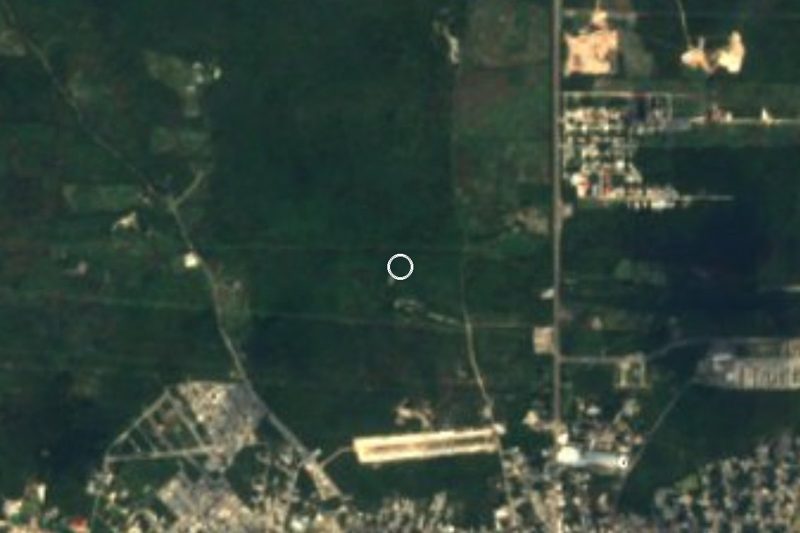
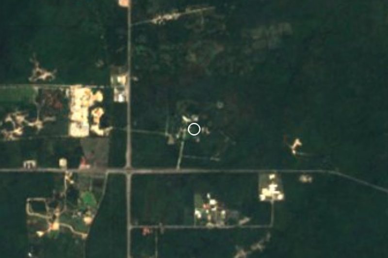
Drive times by road from OpenStreetMap, without traffic. Times marked ~ are estimated from the straight-line distance.
Lists with Grutas de Balankanché
Caves in Yucatán · 3Something wrong or missing on this page? Suggest a fix or addition
Location from OpenStreetMap. Written by Puebloteca.