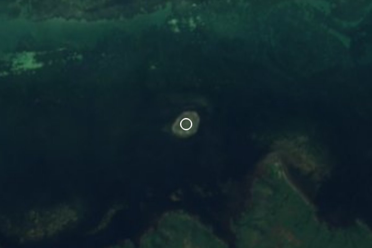
Island San Felipe, Yucatán Municipality of San Felipe Yucatán's east coast
A tiny island off San Felipe that was the seaport of Chichén Itzá around AD 1000, now a roost for pelicans, frigatebirds and cormorants.
Near here
See everything nearby ↓



Plan your visit to Isla Cerritos
Where to stay near Isla Cerritos
Compare hotels, posadas and guest houses in Isla Cerritos.
Tours to Isla Cerritos
Day trips and guided outings from Espita often include Isla Cerritos; with a local guide you can get there without a car.
 Tours from Rio Lagartos
Eco Safari through the Ria Lagartos Natural Park
★ 5.0 (41) · From US$58
How to get to Isla Cerritos
- Nearest airport: Tulum (TQO), 2 h 28 min by car to Espita
Links open a partner site. We may earn a commission if you book, at no cost to you.
Tours from Rio Lagartos, near Isla Cerritos


Tours, prices and ratings from Viator, checked weekly. We may earn a commission if you book.
About Isla Cerritos
Isla Cerritos is a small, roughly round island about 200 meters across, lying some 500 meters off the north coast of Yucatán and about 5 kilometers west of the fishing port of San Felipe, close to the western mouth of the Ría Lagartos estuary. It belongs to the municipality of San Felipe and sits roughly 90 kilometers due north of Chichén Itzá, a distance that turns out to matter a great deal.
Between 1984 and 1986 a joint project of New College of Florida and INAH, led by archaeologists Anthony Andrews and Tomás Gallareta Negrón and sponsored in part by the National Geographic Society, mapped and test-excavated the island and the shore facing it. They found occupation from the Late Preclassic (around 300 BC) through the Terminal Classic (around AD 1100). At its height the island and Paso del Cerro, the site on the coast opposite, worked as the port of the Itzá capital and controlled the mouth of the estuary, from which salt from the Las Coloradas salt pans was shipped. The island had small plazas with civic-ceremonial buildings and houses, probably of Itzá merchants, retaining walls that doubled as docks, two piers and a breakwater on the south side enclosing a small sheltered harbor, plus an open flat area that may have held a market. The digs turned up pottery typical of Chichén Itzá alongside imports from far away: flint from Belize, obsidian from central Mexico, Michoacán and Guatemala, Guatemalan greenstone, turquoise from northern Mexico or the U.S. Southwest and gold from Costa Rica or Panama.
After about 1200 the island was used only now and then, for fishing camps and rituals, and fishermen kept camping on it through colonial times and the 19th and 20th centuries. On the mainland, a raised footpath crosses the marsh from Paso del Cerro to a petén with a freshwater cenote, remains of a sacbé (Maya road) lead inland, and old salt pans worked until the mid-20th century lie nearby. Today the island is a resting place for seabirds: brown pelicans, magnificent frigatebirds, gulls, terns, cormorants and boobies. San Felipe is proud enough of them to put them on the municipal coat of arms. The ruins are low mounds rather than standing temples, so come for the story, the birds and the boat ride.
How to get to Isla Cerritos
The island is reached only by boat from San Felipe, about 5 km to the east. San Felipe is roughly 196 km from Mérida, about two and a half hours by car: take the road through Motul and Temax toward Buctzotz, then the turnoff that runs through Sucilá and Panabá up to the coast. On the waterfront, local boatmen and guides offer trips to Isla Cerritos along with mangrove, flamingo and fishing outings; agree on the price and route before leaving.
Directions to Isla Cerritos on Google Maps
Distances are in a straight line; the road is usually longer.
Links open a partner site. We may earn a commission if you book, at no cost to you.
Before you go to Isla Cerritos: hours, prices and tips
- Guide or tour
- There is no road: go with one of the local boatmen or guides in San Felipe, who include Isla Cerritos among their trips. Tours: Viator GetYourGuide Por Esto (Oct 2024) · checked Oct 2026
Hours and prices change, especially around holidays. Each fact links to where we checked it.
Visiting Isla Cerritos: what to see and do
Ride out from San Felipe's waterfront to the island that served as Chichén Itzá's port.
Look for the low mounds of the old plazas, platforms and docks on the island's edges.
Watch brown pelicans, frigatebirds, cormorants, terns and boobies resting on the island.
Combine the trip with a boat tour of the Ría Lagartos estuary and its flamingos.
Back in San Felipe, walk the streets of painted wooden houses and eat fresh fish on the waterfront.
Plan your trip
Places to stay in Isla Cerritos
Compare hotels, posadas, and rentals in and around Isla Cerritos.
Tours & activities
Day trips and guided outings from Espita often include Isla Cerritos; with a local guide you can get there without a car.
Rental cars
Pick up a car at TQO (Tulum): about 2 h 28 min by road to Espita, then 61 km more to Isla Cerritos, on your own schedule.
Flights
The nearest airport with scheduled flights is Tulum (TQO), about 2 h 28 min by road from Espita, the base for Isla Cerritos.
Mobile data
Signal can drop away from Espita: download a map of the way to Isla Cerritos before you set out, or carry an eSIM with data.
Links open a partner site. We may earn a commission if you book, at no cost to you.
When to go to Isla Cerritos warm
Isla Cerritos shares the climate of Espita, 61 km away. The best months to visit are January, February, November, and December.
See the month-by-month climate of Espita
Weather in Isla Cerritos now and the next 7 days
Live forecast from Open-Meteo. Chance of rain is the day's highest.
The closest Pueblo Mágico: Espita

Espita is the Pueblo Mágico closest to Isla Cerritos, with places to stay, food, and more to see.
Closest to Isla Cerritos
-
San Felipe · Town · 6 km away
-
Punta Bachul · Nature reserve · 9 km away
-
Río Lagartos · Nature reserve · 14 km away
-
Reserva de la Biosfera Ría Lagartos · Nature reserve · 18 km away
-
Playa Cancunito · Beach · 25 km away
-
Panabá · Town · 30 km away
-
Las Coloradas · Nature reserve · 31 km away
-
Cenote Kikil · Cenote · 43 km away


Lists with Isla Cerritos
Islands in Yucatán · 3Location from OpenStreetMap. Written by Puebloteca.