Nature reserve San Felipe, Yucatán Municipality of San Felipe Yucatán's east coast
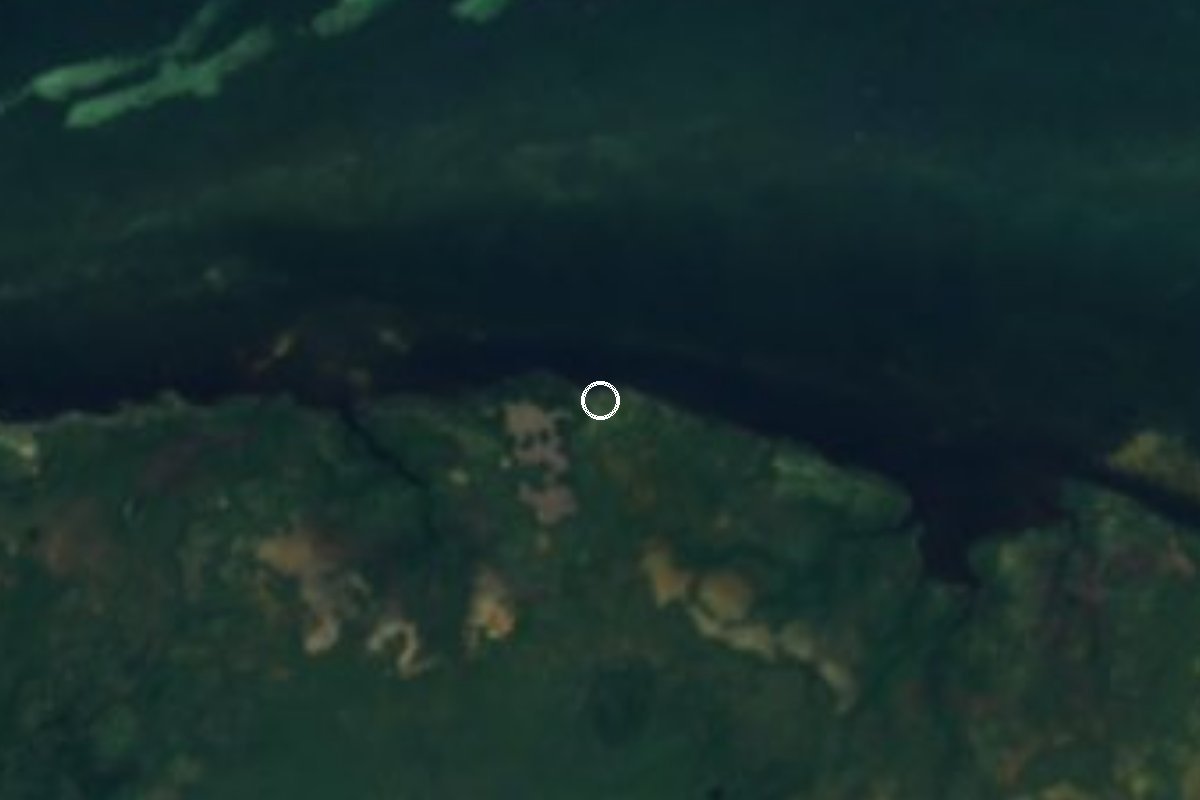
A low, lonely cape on the sand bar west of San Felipe, used by fishermen's camps and visited by boat for birds, beach and quiet.
From Tizimín: 1 h 25 min by car (55 km by road) How to get there ↓
Near here
See everything nearby ↓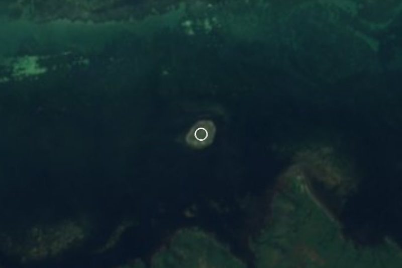


Plan your visit to Punta Bachul
Where to stay near Punta Bachul
Compare hotels, posadas and guest houses in Punta Bachul.
Tours to Punta Bachul
Day trips and guided outings from Espita often include Punta Bachul; with a local guide you can get there without a car.
 Tours from Rio Lagartos
Eco Safari through the Ria Lagartos Natural Park
★ 5.0 (41) · From US$58
How to get to Punta Bachul
- From Tizimín: about 1 h 25 min by road (~55 km)
- Nearest airport: Tulum (TQO), 2 h 28 min by car to Espita
Links open a partner site. We may earn a commission if you book, at no cost to you.
Tours from Rio Lagartos, near Punta Bachul


Tours, prices and ratings from Viator, checked weekly. We may earn a commission if you book.
About Punta Bachul
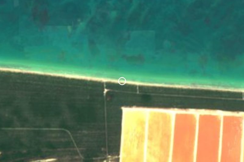
Punta Bachul is a gentle headland on the north coast of Yucatán, in the municipality of San Felipe, about 13 kilometers west of the western mouth of the Ría Lagartos estuary and roughly 14 kilometers along the shore from the town of San Felipe. It lies on the long, thin sand bar that separates the Gulf of Mexico from the marshes behind it, inside the area mapped as the Dzilam State Reserve. In San Felipe people simply call it "Bachul".
The cape has been a landmark for a long time. In the 16th century, Punta Bachul and Punta Arenas served the first Spanish navigators as reference points for sailing and mapping this flat, featureless coast. Offshore, freshwater springs rise from the seabed, mixing with the salt water and supporting their own mix of marine life and plants, a feature of this stretch of the Yucatán coast.
Nobody really lives here. The beach is used mostly by San Felipe's fishermen, who set up temporary camps at Bachul and at other beaches such as Chisascab during the net-fishing season. A small, half-ruined house built by fishermen, once used for religious gatherings, still stands and now serves only as shelter for campers. Until about a decade ago, San Felipe families came out by boat on the day of the Holy Cross to hear mass on the beach and share a meal, a custom that has since died out. Today the cape draws a few visitors for nature watching and the empty beach; there are no services, so treat it as a day trip with a local boatman.
How to get to Punta Bachul
Drive from Tizimín: 1 h 25 min, 55 km
Go first to San Felipe, about 196 km from Mérida (around two and a half hours by car via Motul, Temax and the turnoff through Sucilá and Panabá). Punta Bachul is about 14 km west along the coast; people from San Felipe traditionally reach it by boat, so arrange the trip with a boatman on the waterfront and agree on price and return time first.
Directions to Punta Bachul on Google Maps
Distances are in a straight line; the road is usually longer.
Links open a partner site. We may earn a commission if you book, at no cost to you.
From the nearest cities to Punta Bachul
- Tizimín · 55 km by road, 1 h 25 min
- Valladolid · 107 km by road, 2 h 15 min
- Cancún · about 215 km by road, ~3 h 10 min
Drive times by road from OpenStreetMap, without traffic or stops. Times marked ~ are estimated from the straight-line distance.
Visiting Punta Bachul: what to see and do
Walk the empty beach on the sand bar between the Gulf and the marshes.
Spend time watching wildlife on the quiet shore of the Dzilam State Reserve.
See the small ruined fishermen's house that once hosted religious gatherings.
In the fishing season, see the temporary camps of San Felipe's net fishermen.
Combine it with a boat trip to Isla Cerritos and the Ría Lagartos estuary from San Felipe.
Plan your trip
Places to stay in Punta Bachul
Compare hotels, posadas, and rentals in and around Punta Bachul.
Tours & activities
Day trips and guided outings from Espita often include Punta Bachul; with a local guide you can get there without a car.
Rental cars
Pick up a car at TQO (Tulum): about 2 h 28 min by road to Espita, then 62 km more to Punta Bachul, on your own schedule.
Flights
The nearest airport with scheduled flights is Tulum (TQO), about 2 h 28 min by road from Espita, the base for Punta Bachul.
Travel insurance
If you plan on hiking at Punta Bachul, check that your policy covers it: some plans leave adventure activities out.
Mobile data
Signal can drop away from Espita: download a map of the way to Punta Bachul before you set out, or carry an eSIM with data.
Links open a partner site. We may earn a commission if you book, at no cost to you.
When to go to Punta Bachul warm
Punta Bachul shares the climate of Espita, 62 km away. The best months to visit are January, February, November, and December.
See the month-by-month climate of Espita
Weather in Punta Bachul now and the next 7 days
Live forecast from Open-Meteo. Chance of rain is the day's highest.
The closest Pueblo Mágico: Espita

Espita is the Pueblo Mágico closest to Punta Bachul, with places to stay, food, and more to see.
Closest to Punta Bachul
-
Isla Cerritos · Island · 9 km away
-
San Felipe · Town · 14 km away
-
Río Lagartos · Nature reserve · 22 km away
-
Reserva de la Biosfera Ría Lagartos · Nature reserve · 27 km away
-
Panabá · Town · 32 km away
-
Playa Cancunito · Beach · 34 km away
-
Las Coloradas · Nature reserve · 40 km away
-
Cenote Kikil · Cenote · 46 km away


Near Punta Bachul


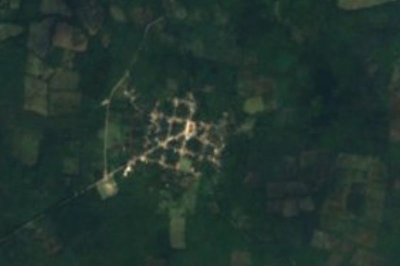


Drive times by road from OpenStreetMap, without traffic. Times marked ~ are estimated from the straight-line distance.
Lists with Punta Bachul
Nature Parks in Yucatán · 11 Nature Parks near Tizimín · 4Location from OpenStreetMap. Written by Puebloteca.