


Village Tizimín, Yucatán Municipality of Tizimín Yucatán's east coast
A ranching village east of Tizimín with the weathered ruins of an old church and open chapel, and a Candelaria fiesta at the end of January.
From Tizimín: 15 min by car (13 km by road) How to get there ↓
Near here
See everything nearby ↓


Plan your visit to Sucopó
Where to stay near Sucopó
Compare hotels, posadas and guest houses in Sucopó.
Tours to Sucopó
Day trips and guided outings from Espita often include Sucopó; with a local guide you can get there without a car.
How to get to Sucopó
- From Tizimín: about 15 min by road (~13 km)
- Nearest airport: Tulum (TQO), 2 h 28 min by car to Espita
Links open a partner site. We may earn a commission if you book, at no cost to you.
About Sucopó
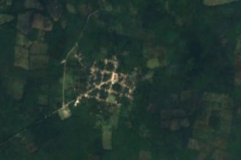
Sucopó is a village in the municipality of Tizimín, in the cattle country of northeastern Yucatán, about 11 kilometers east of the city of Tizimín in a straight line. The 2020 census counted 1,668 people here, and the village has grown steadily over the last century, from about 320 inhabitants in 1900 to roughly 700 in 1960 and more than 1,500 by 2010. Its name comes from Maya.
The area was part of the Maya province of the Cupules before the Spanish arrived; Tizimín and its surroundings were taken for the Spanish crown around 1550 by Captain Sebastián Burgos and then held under the encomienda system through colonial times. Sucopó's most striking reminder of that era is its old church: a tall, plastered gable front with round windows stands beside the roofless stone walls and arches of an earlier structure, catalogued on Wikimedia Commons as an open chapel, now overgrown at the top with plants and set in a grassy yard with palms.
The village's big celebration is the fiesta for the Virgin of Candelaria, held from January 28 to 31, right after Tizimín's large Three Kings fair (December 29 to January 6). Otherwise Sucopó is a quiet place of houses around open lots and big shade trees, including a large ceiba, and makes a short detour for anyone interested in the colonial churches of the Tizimín area.
How to get to Sucopó
Drive from Tizimín: 15 min, 13 km
Go first to Tizimín: it is about 160–167 km from Mérida on Federal Highway 176 through Buctzotz and Sucilá, and about 50 km north of Valladolid on Federal Highway 295. Sucopó lies about 11 km east of Tizimín on a local road.
Directions to Sucopó on Google Maps
Distances are in a straight line; the road is usually longer.
Links open a partner site. We may earn a commission if you book, at no cost to you.
From the nearest cities to Sucopó
- Tizimín · 13 km by road, 15 min
- Valladolid · 64 km by road, 1 h 10 min
- Playa del Carmen · 140 km by road, 2 h 5 min
Drive times by road from OpenStreetMap, without traffic or stops. Times marked ~ are estimated from the straight-line distance.
Before you go to Sucopó: hours, prices and tips
- Best season
- Fiesta of the Virgin of Candelaria, January 28–31. Enciclopedia de los Municipios de México (INAFED), Tizimín · checked Oct 2026
Hours and prices change, especially around holidays. Each fact links to where we checked it.
Visiting Sucopó: what to see and do
See the old church with its plastered gable front and the roofless stone arches of the open chapel beside it.
Come for the fiesta of the Virgin of Candelaria, January 28 to 31.
Rest under the village's huge ceiba tree.
Pair the visit with Tizimín's Three Kings fair, December 29 to January 6, and its colonial convent churches.
Plan your trip
Places to stay in Sucopó
Compare hotels, posadas, and rentals in and around Sucopó.
Tours & activities
Day trips and guided outings from Espita often include Sucopó; with a local guide you can get there without a car.
Rental cars
Pick up a car at TQO (Tulum): about 2 h 28 min by road to Espita, then 31 km more to Sucopó, on your own schedule.
Flights
The nearest airport with scheduled flights is Tulum (TQO), about 2 h 28 min by road from Espita, the base for Sucopó.
Mobile data
Signal can drop away from Espita: download a map of the way to Sucopó before you set out, or carry an eSIM with data.
Links open a partner site. We may earn a commission if you book, at no cost to you.
Photos
When to go to Sucopó warm
Sucopó shares the climate of Espita, 31 km away. The best months to visit are January, February, November, and December.
See the month-by-month climate of Espita
Weather in Sucopó now and the next 7 days
Live forecast from Open-Meteo. Chance of rain is the day's highest.
The closest Pueblo Mágico: Espita

Espita is the Pueblo Mágico closest to Sucopó, with places to stay, food, and more to see.
Also close to
- Valladolid · Yucatán · 55 km away
Closest to Sucopó
-
Tizimín · Town · 11 km away
-
Tahcabó · Village · 12 km away
-
Cenote Kikil · Cenote · 13 km away
-
Calotmul · Town · 21 km away
-
Pocoboch · Village · 22 km away
-
Panabá · Town · 28 km away
-
Sucilá · Town · 28 km away
-
Cenote X'Canché · Cenote · 31 km away


Near Sucopó






Drive times by road from OpenStreetMap, without traffic. Times marked ~ are estimated from the straight-line distance.
Location from OpenStreetMap. Written by Puebloteca.