

Town Sucilá, Yucatán Yucatán's east coast
A quiet cattle-and-dairy town between Espita and Panabá, with a 17th-century church of Santiago and a September fair for the Virgin's Nativity.
From Tizimín: 20 min by car (19 km by road) How to get there ↓
Near here
See everything nearby ↓



Plan your visit to Sucilá
Where to stay near Sucilá
Compare hotels, posadas and guest houses in Sucilá.
Tours to Sucilá
Day trips around Espita sometimes stop in Sucilá; a tour is the easy way to see it without a car.
 Tours from Rio Lagartos
Eco Safari through the Ria Lagartos Natural Park
★ 5.0 (41) · From US$58
How to get to Sucilá
- From Tizimín: about 20 min by road (~19 km)
- Nearest airport: Tulum (TQO), 2 h 28 min by car to Espita
Links open a partner site. We may earn a commission if you book, at no cost to you.
Tours from Rio Lagartos, near Sucilá


Tours, prices and ratings from Viator, checked weekly. We may earn a commission if you book.
About Sucilá
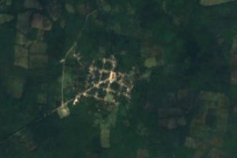
Sucilá is a small town in the northeast of Yucatán and the seat of the municipality of the same name. It lies about 140 kilometers east of Mérida, some 16 kilometers north of Espita and 17 kilometers west of Tizimín, on flat ranch country on the road that runs up to Panabá and the coast at San Felipe. The 2020 census counted 3,855 people in the town. The name, pronounced "Sukilá", is usually translated from Maya as "grass water".
Before the Spanish conquest the area belonged to the Cupul chiefdom. In colonial times it was held in encomienda; the records name, among others, Rodrigo de Cisneros in 1549 and Josefa Chacón y Salazar in 1745. After independence it was placed under Tizimín in 1825 and under Espita in 1837, and in 1848 it saw fighting between Maya rebels and government troops during the Caste War, which emptied much of the region. The town later grew on cattle: so many of its ranches turned to milk that Sucilá became known as the dairy basin of Yucatán.
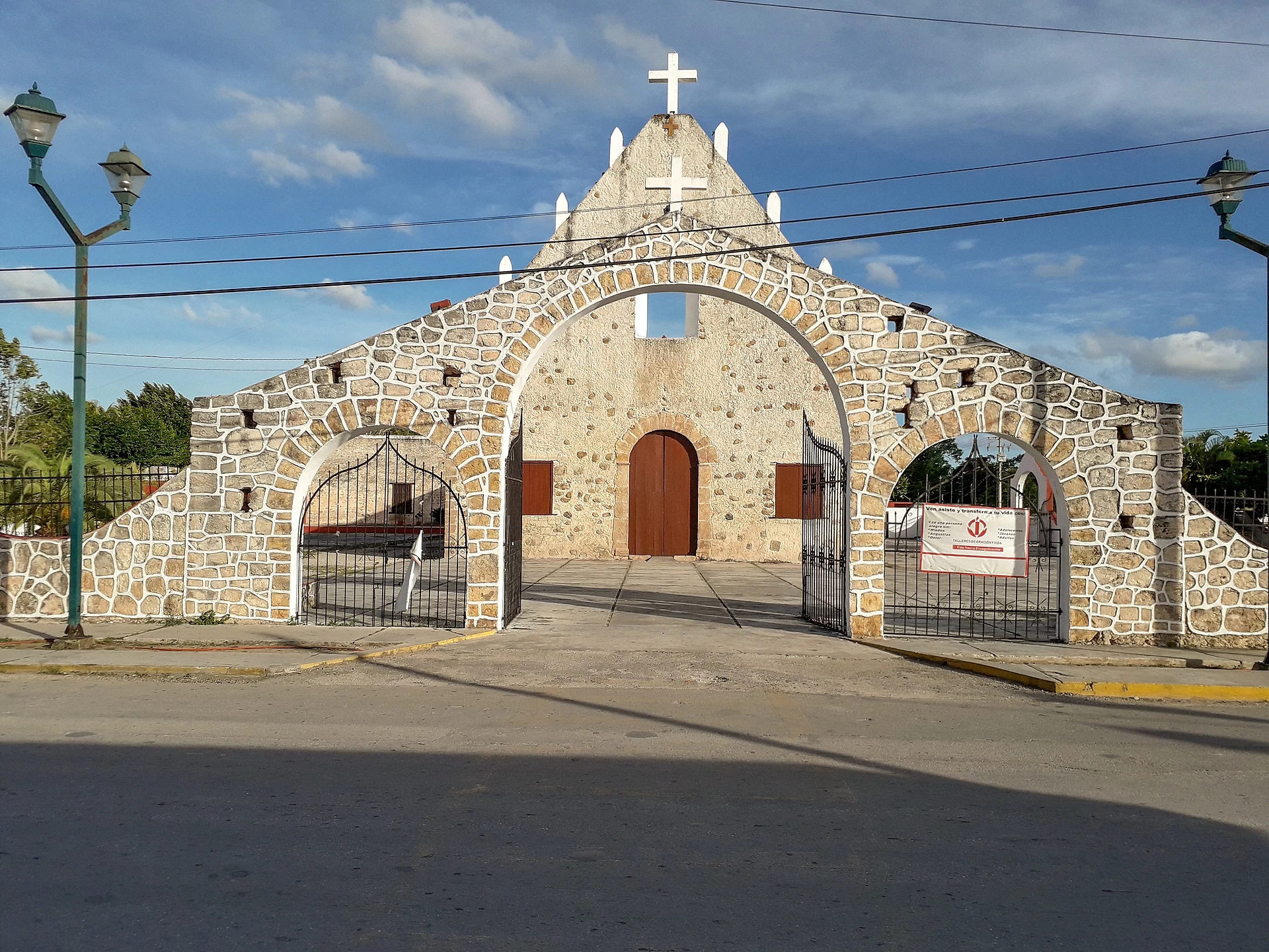
Life centers on the main square, where the town hall with its clock tower faces a paved park. The church of Santiago Apóstol dates from the 17th century and is entered through a white stone gateway of three arches. The big event of the year runs from September 2 to 10, the fiesta for the Nativity of the Virgin Mary, with jarana dancing. Local crafts include furniture made from bojom wood, hammocks woven from hemp cord and machine-embroidered huipiles. The municipality has registered four cenotes: Dzibiak, K'aax Eek', San Pedro III and Sukil-Ha, the last two noted as suitable for swimming.
How to get to Sucilá
Drive from Tizimín: 20 min, 19 km
Sucilá is about 140 km east of Mérida. Drive through Motul and Temax to Buctzotz and continue on Federal Highway 176, the Mérida–Tizimín road, which passes through Sucilá; a road also runs north from here to Panabá and San Felipe. From Espita it is about 16 km to the north, and from Tizimín about 17 km to the west. Vans connect Tizimín with Sucilá.
Directions to Sucilá on Google Maps
Distances are in a straight line; the road is usually longer.
Links open a partner site. We may earn a commission if you book, at no cost to you.
From the nearest cities to Sucilá
- Tizimín · 19 km by road, 20 min
- Valladolid · 68 km by road, 1 h 10 min
- Mérida · 148 km by road, 2 h 10 min
Drive times by road from OpenStreetMap, without traffic or stops. Times marked ~ are estimated from the straight-line distance.
Before you go to Sucilá: hours, prices and tips
- Best season
- The town's main fiesta, for the Nativity of the Virgin Mary, runs September 2–10. Enciclopedia de los Municipios de México (INAFED), Sucilá · checked Oct 2026
Hours and prices change, especially around holidays. Each fact links to where we checked it.
Visiting Sucilá: what to see and do
See the 17th-century church of Santiago Apóstol and its three-arched stone gateway.
Sit in the main square across from the town hall and its clock tower.
Come for the fiesta of the Nativity of the Virgin, September 2 to 10, with jarana dancing.
Look for local hammocks, bojom-wood furniture and embroidered huipiles.
Use the town as a stop on the way north to Panabá, San Felipe and the Ría Lagartos coast.
Plan your trip
Places to stay in Sucilá
Compare hotels, posadas, and rentals in and around Sucilá.
Tours & activities
Day trips around Espita sometimes stop in Sucilá; a tour is the easy way to see it without a car.
Rental cars
Pick up a car at TQO (Tulum): about 2 h 28 min by road to Espita, then 16 km more to Sucilá, on your own schedule.
Flights
The nearest airport with scheduled flights is Tulum (TQO), about 2 h 28 min by road from Espita, the base for Sucilá.
Mobile data
Signal can drop away from Espita: download a map of the way to Sucilá before you set out, or carry an eSIM with data.
Links open a partner site. We may earn a commission if you book, at no cost to you.
Photos
When to go to Sucilá warm
Sucilá shares the climate of Espita, 16 km away. The best months to visit are January, February, November, and December.
See the month-by-month climate of Espita
Weather in Sucilá now and the next 7 days
Live forecast from Open-Meteo. Chance of rain is the day's highest.
The closest Pueblo Mágico: Espita

Espita is the Pueblo Mágico closest to Sucilá, with places to stay, food, and more to see.
Also close to
- Valladolid · Yucatán · 53 km away
- Izamal · Yucatán · 77 km away
Closest to Sucilá


Near Sucilá


Drive times by road from OpenStreetMap, without traffic. Times marked ~ are estimated from the straight-line distance.
Location from OpenStreetMap. Written by Puebloteca.