


Nature reserve Tizimín, Yucatán Municipality of Tizimín Yucatán's east coast
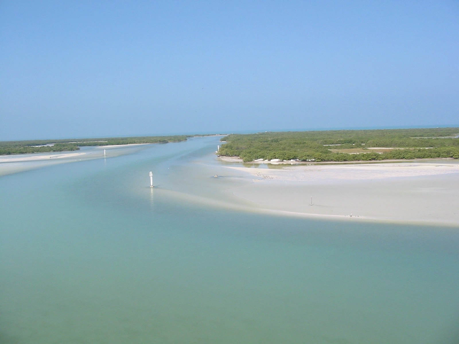
Yucatán's eastern coastal wetland reserve, where most of the Caribbean's American flamingos nest; you explore it by guided boat from Río Lagartos.
From Tizimín: 55 min by car (56 km by road) How to get there ↓
Near here
See everything nearby ↓
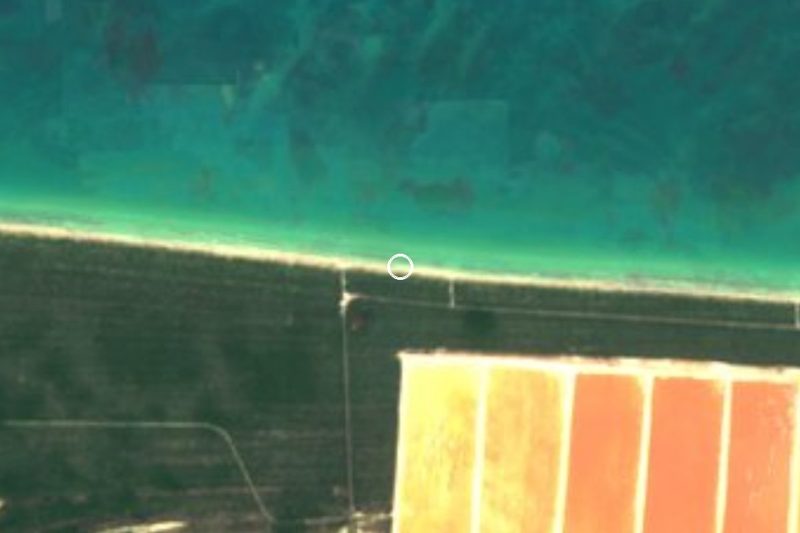


Plan your visit to Reserva de la Biosfera Ría Lagartos
Where to stay near Reserva de la Biosfera Ría Lagartos
Compare hotels, posadas and guest houses in Reserva de la Biosfera Ría Lagartos.
Tours to Reserva de la Biosfera Ría Lagartos
Day trips and guided outings from Espita often include Reserva de la Biosfera Ría Lagartos; with a local guide you can get there without a car.
 Tours from Rio Lagartos
Eco Safari through the Ria Lagartos Natural Park
★ 5.0 (41) · From US$58
How to get to Reserva de la Biosfera Ría Lagartos
- From Tizimín: about 55 min by road (~56 km)
- Nearest airport: Tulum (TQO), 2 h 28 min by car to Espita
Links open a partner site. We may earn a commission if you book, at no cost to you.
Tours from Rio Lagartos, near Reserva de la Biosfera Ría Lagartos


Tours, prices and ratings from Viator, checked weekly. We may earn a commission if you book.
About Reserva de la Biosfera Ría Lagartos
The Ría Lagartos Biosphere Reserve covers the far eastern end of Yucatán's coast, a strip of estuary, mangrove, coastal dune and low forest of about 60,348 hectares facing the Gulf of Mexico. The estuary itself runs for more than 80 kilometers along the shore of three municipalities, San Felipe, Río Lagartos and Tizimín, and four communities live inside the protected area: San Felipe, Río Lagartos, Las Coloradas and El Cuyo. The area was first protected in 1979, became a federal biosphere reserve by a decree published on 21 May 1999, and has been a Ramsar wetland of international importance since 1986. It is managed by CONANP, Mexico's protected-areas commission.
The reserve matters above all for the American flamingo. Ría Lagartos holds roughly 80 percent of the nesting pairs of the Caribbean population, and the main colonies lie in the eastern part of the reserve, especially around El Cuyo and the area known as La Angostura, where CONANP counted 14,757 nests in 2023. Under a monitoring program running since 1999, more than 154,000 chicks were counted between 1999 and 2024. Researchers have recorded 333 bird species in the reserve, 177 of them resident and 142 migratory, along with crocodiles, herons, storks and nesting sea turtles; the adjacent beach is the most important hawksbill turtle nesting site in the state.
People have used this coast for a long time: archaeologists have identified 18 Maya sites inside the reserve, and fishing, salt extraction at Las Coloradas, cattle ranching and tourism are the main activities today. Ranching, fires, urban growth and the salt works have all left their mark, and in 2026 CONANP and the communities of Las Coloradas and El Cuyo agreed a controlled-access scheme for the eastern zone. Most visitors see the reserve on a two- to four-hour boat trip from the waterfront at Río Lagartos, through mangrove channels to the feeding flats, often with a stop for a clay 'Maya bath' and a swim at an empty beach.
How to get to Reserva de la Biosfera Ría Lagartos
Drive from Tizimín: 55 min, 56 km
The reserve is reached by road through Tizimín. Most boat trips leave from the waterfront at Río Lagartos; San Felipe, 12 km to the west, also has boats. For the eastern end, drive from Tizimín through Colonia Yucatán to El Cuyo, about three and a half hours from Mérida in total. The sand track along the coast between Las Coloradas and El Cuyo lies in the controlled-access zone: since 2026, visitors from outside the area may only use it with a certified guide or an authorized tour.
Directions to Reserva de la Biosfera Ría Lagartos on Google Maps
Distances are in a straight line; the road is usually longer.
Links open a partner site. We may earn a commission if you book, at no cost to you.
From the nearest cities to Reserva de la Biosfera Ría Lagartos
- Tizimín · 56 km by road, 55 min
- Valladolid · 108 km by road, 1 h 45 min
- Cancún · about 180 km by road, ~2 h 40 min
Drive times by road from OpenStreetMap, without traffic or stops. Times marked ~ are estimated from the straight-line distance.
Before you go to Reserva de la Biosfera Ría Lagartos: hours, prices and tips
- Entry
- A CONANP conservation wristband is required, paid on top of the boat; one Río Lagartos operator lists it at 125 pesos per person (some booking sites still show 54). A private boat for up to six costs about 1,800 pesos. Tour Río Lagartos (operator) · checked Oct 2026
- Time needed
- The classic flamingo and crocodile trip takes about 2 to 2.5 hours; longer nature and birding trips run 3 to 4 hours. Río Lagartos Adventures · checked Oct 2026
- Best time of day
- Boats go out between about 7 and 10 am, when birds are most often seen; late afternoon is also good. Civitatis · checked Oct 2026
- Best season
- Big flamingo flocks arrive around March ahead of nesting; the colonies are in the east of the reserve, toward El Cuyo. Por Esto (Mar 2026) · checked Oct 2026
- Guide or tour
- Visitors from outside the region may only enter with certified guides or authorized tours; residents of nearby towns pass with official ID. Tours: Viator GetYourGuide Posta Yucatán (May 2026) · checked Oct 2026
- What to bring
- Light quick-dry clothes, hat, sunglasses, biodegradable sunscreen, insect repellent, non-slip shoes and extra water, especially from March to August. Tour Río Lagartos (operator) · checked Oct 2026
- Rules
- Wristband mandatory; boats keep their distance from the flamingos, and visitors must not approach nesting areas on foot. Tour Río Lagartos (operator); Posta Yucatán (May 2026) · checked Oct 2026
Hours and prices change, especially around holidays. Each fact links to where we checked it.
Visiting Reserva de la Biosfera Ría Lagartos: what to see and do
Take an early-morning boat trip from Río Lagartos through the mangrove channels to the flamingo feeding flats.
Watch for crocodiles, herons, storks and cormorants along the estuary.
Try the clay 'Maya bath' and rinse off at a quiet beach on the Gulf side.
See the pink salt ponds and white salt mounds of Las Coloradas.
Go east to El Cuyo, near the main flamingo nesting colonies, for kayaking and an empty beach.
Plan your trip
Places to stay in Reserva de la Biosfera Ría Lagartos
Compare hotels, posadas, and rentals in and around Reserva de la Biosfera Ría Lagartos.
Tours & activities
Day trips and guided outings from Espita often include Reserva de la Biosfera Ría Lagartos; with a local guide you can get there without a car.
Rental cars
Pick up a car at TQO (Tulum): about 2 h 28 min by road to Espita, then 67 km more to Reserva de la Biosfera Ría Lagartos, on your own schedule.
Flights
The nearest airport with scheduled flights is Tulum (TQO), about 2 h 28 min by road from Espita, the base for Reserva de la Biosfera Ría Lagartos.
Travel insurance
If you plan on hiking at Reserva de la Biosfera Ría Lagartos, check that your policy covers it: some plans leave adventure activities out.
Mobile data
Signal can drop away from Espita: download a map of the way to Reserva de la Biosfera Ría Lagartos before you set out, or carry an eSIM with data.
Links open a partner site. We may earn a commission if you book, at no cost to you.
Photos
When to go to Reserva de la Biosfera Ría Lagartos warm
Reserva de la Biosfera Ría Lagartos shares the climate of Espita, 67 km away. The best months to visit are January, February, November, and December.
See the month-by-month climate of Espita
Weather in Reserva de la Biosfera Ría Lagartos now and the next 7 days
Live forecast from Open-Meteo. Chance of rain is the day's highest.
The closest Pueblo Mágico: Espita

Espita is the Pueblo Mágico closest to Reserva de la Biosfera Ría Lagartos, with places to stay, food, and more to see.
Closest to Reserva de la Biosfera Ría Lagartos
-
Río Lagartos · Nature reserve · 5 km away
-
Playa Cancunito · Beach · 7 km away
-
Las Coloradas · Nature reserve · 13 km away
-
San Felipe · Town · 13 km away
-
Isla Cerritos · Island · 18 km away
-
Punta Bachul · Nature reserve · 27 km away
-
Panabá · Town · 37 km away
-
Cenote Kikil · Cenote · 45 km away


Near Reserva de la Biosfera Ría Lagartos


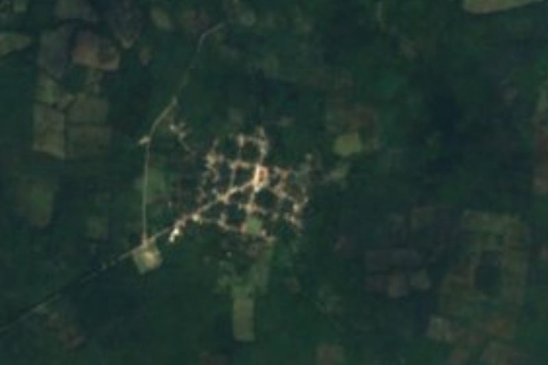


Drive times by road from OpenStreetMap, without traffic. Times marked ~ are estimated from the straight-line distance.
Lists with Reserva de la Biosfera Ría Lagartos
Nature Parks in Yucatán · 11 Nature Parks near Tizimín · 4Location from OpenStreetMap. Written by Puebloteca.