Town Venustiano Carranza, Chiapas
Old San Bartolomé de los Llanos: a Tsotsil town in Chiapas's Central Depression, with a lone colonial aqueduct arch and backstrap-loom brocades.
From San Cristóbal de las Casas: about 50 min by road (~60 km) How to get there ↓
Near here
See everything nearby ↓


Plan your visit to Venustiano Carranza
Where to stay near Venustiano Carranza
Compare hotels, posadas and guest houses in Venustiano Carranza.
Tours to Venustiano Carranza
Day trips around San Cristóbal de Las Casas sometimes stop in Venustiano Carranza; a tour is the easy way to see it without a car.
 Tours from San Cristóbal de las Casas
Customs of indigenous villages of Chiapas
★ 4.9 (83) · From US$71
How to get to Venustiano Carranza
- From San Cristóbal de las Casas: about 50 min by road (~60 km)
- Nearest airport: Tuxtla Gutiérrez (TGZ), 1 h 17 min by car to San Cristóbal de Las Casas
Links open a partner site. We may earn a commission if you book, at no cost to you.
Tours from San Cristóbal de las Casas, near Venustiano Carranza


Tours, prices and ratings from Viator, checked weekly. We may earn a commission if you book.
About Venustiano Carranza
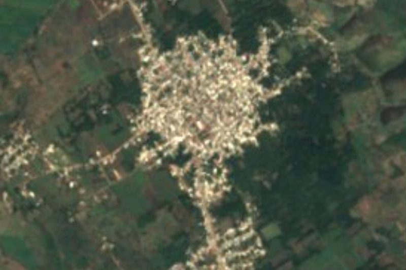
For nearly four centuries this town was San Bartolomé de los Llanos, and many people still call it that. Dominican friars founded it in the 16th century below Yalench'en hill, in Tsotsil Maya country, and built a convent from which to evangelise the region; the name Venustiano Carranza was imposed by decree on 13 February 1934. The town lies at about 780 metres in the Central Depression of Chiapas, and had roughly 15,500 people in 2010. The Grijalva River runs along the municipality, backed up here into the reservoir of the Belisario Domínguez (La Angostura) dam, begun in 1968.
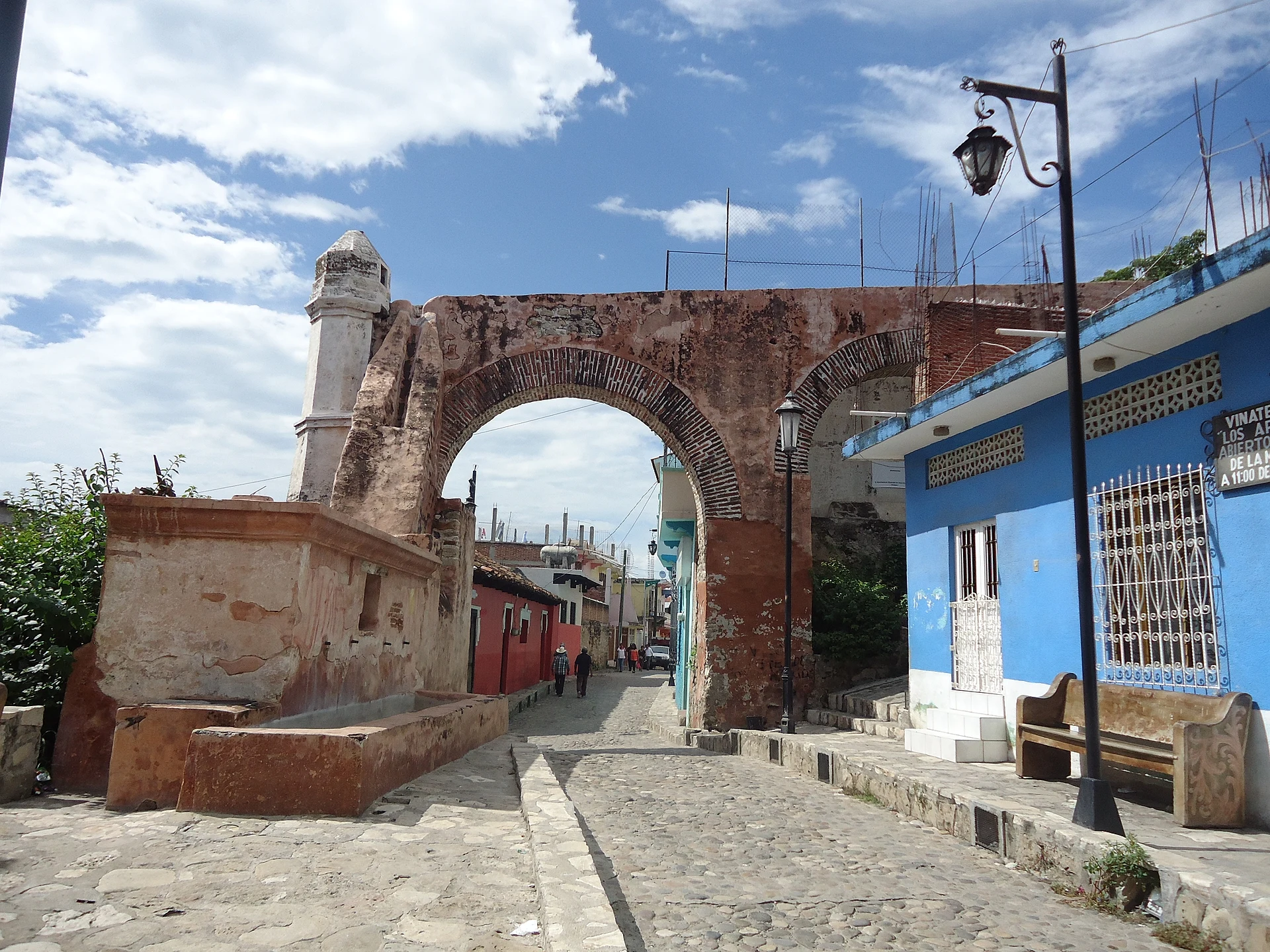
It has taken some blows. A fire in 1771 burned 719 houses; in October 1902 ash from Guatemala's Santa María volcano darkened the sky and most churches and homes were wrecked; the 2017 earthquake damaged the churches again. Still standing are the church of San Bartolomé on the main square, the churches of San Pedro, Señor del Pozo and El Carmen, the ruined church of San Sebastián and, best known, El Arco, the single surviving arch of a colonial aqueduct, the only one left in south-east Mexico, rebuilt after the town council approved the works in 1792.
The town itself is Tsotsil, while Aguacatenango, in the same municipality, speaks Tseltal. Tsotsil women weave sheer white cotton gauze on backstrap looms, brocaded in cotton and silk with diamonds, sun discs, corn plants and animals. On Holy Thursday about a hundred Tsotsil townspeople carry a century-old wooden figure of the dead Christ through the streets, guarded by custodians in purple hoods and accompanied by drums and whistles.
How to get to Venustiano Carranza
Venustiano Carranza is 1 h 15 min and 70 km by road from San Cristóbal de Las Casas, the nearest city and Pueblo Mágico, dropping from the Chiapas highlands into the Central Depression. Inside the municipality, the La Angostura–Pujiltic road toward the dam had a first 12 km stretch widened in 2021. We found no published bus or colectivo timetable to the town.
Directions to Venustiano Carranza on Google Maps
Distances are in a straight line; the road is usually longer.
Links open a partner site. We may earn a commission if you book, at no cost to you.
From the nearest cities to Venustiano Carranza
- San Cristóbal de las Casas · about 60 km by road, ~50 min
- Comitán · about 60 km by road, ~55 min
- Tuxtla Gutiérrez · about 100 km by road, ~1 h 25 min
Drive times by road from OpenStreetMap, without traffic or stops. Times marked ~ are estimated from the straight-line distance.
Visiting Venustiano Carranza: what to see and do
El Arco, the last standing arch of the colonial aqueduct.
The church of San Bartolomé, of Dominican origin, on the main square.
The churches of San Pedro, Señor del Pozo and El Carmen.
The ruins of the church of San Sebastián.
Tsotsil backstrap-loom brocade weaving.
The Tsotsil Holy Thursday procession.
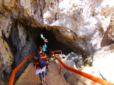
The ruins of Copanahuastla and its 16th-century church of San Miguel Arcángel, in the municipality.
Plan your trip
Places to stay in Venustiano Carranza
Compare hotels, posadas, and rentals in and around Venustiano Carranza.
Tours & activities
Day trips around San Cristóbal de Las Casas sometimes stop in Venustiano Carranza; a tour is the easy way to see it without a car.
Rental cars
Pick up a car at TGZ (Tuxtla Gutiérrez): about 1 h 17 min by road to San Cristóbal de Las Casas, then 45 km more to Venustiano Carranza, on your own schedule.
Flights
The nearest airport with scheduled flights is Tuxtla Gutiérrez (TGZ), about 1 h 17 min by road from San Cristóbal de Las Casas, the base for Venustiano Carranza.
Mobile data
Signal can drop away from San Cristóbal de Las Casas: download a map of the way to Venustiano Carranza before you set out, or carry an eSIM with data.
Links open a partner site. We may earn a commission if you book, at no cost to you.
When to go to Venustiano Carranza cool
Venustiano Carranza shares the climate of San Cristóbal de Las Casas, 45 km away. The best months to visit are January, February, March, and December.
See the month-by-month climate of San Cristóbal de Las Casas
Weather in Venustiano Carranza now and the next 7 days
Live forecast from Open-Meteo. Chance of rain is the day's highest.
The closest Pueblo Mágico: San Cristóbal de Las Casas

San Cristóbal de Las Casas is the Pueblo Mágico closest to Venustiano Carranza, with places to stay, food, and more to see.
Also close to
- Comitán · Chiapas · 47 km away
- Chiapa de Corzo · Chiapas · 64 km away
Closest to Venustiano Carranza
-
Amatenango del Valle · Town · 25 km away
-
Socoltenango · Town · 25 km away
-
Teopisca · Town · 25 km away
-
El Chiflón · Waterfall · 35 km away
-
Grutas de Rancho Nuevo · Cave · 37 km away
-
El Arcotete · Nature reserve · 43 km away
-
Tzimol · Town · 44 km away
-
Romerillo · Town · 47 km away


Near Venustiano Carranza




Drive times by road from OpenStreetMap, without traffic. Times marked ~ are estimated from the straight-line distance.
Location from OpenStreetMap. Written by Puebloteca.