Town Teopisca, Chiapas
Highland Chiapas town on the Pan-American Highway, 35 minutes from San Cristóbal, with an 18th-century church and caves on its edge.
From San Cristóbal de las Casas: about 30 min by road (~35 km) How to get there ↓
Near here
See everything nearby ↓


Plan your visit to Teopisca
Where to stay near Teopisca
Compare hotels, posadas and guest houses in Teopisca.
Tours to Teopisca
Day trips around San Cristóbal de Las Casas sometimes stop in Teopisca; a tour is the easy way to see it without a car.
 Tours from San Cristóbal de las Casas
Customs of indigenous villages of Chiapas
★ 4.9 (83) · From US$71
How to get to Teopisca
- From San Cristóbal de las Casas: about 30 min by road (~35 km)
- Nearest airport: Tuxtla Gutiérrez (TGZ), 1 h 17 min by car to San Cristóbal de Las Casas
Links open a partner site. We may earn a commission if you book, at no cost to you.
Tours from San Cristóbal de las Casas, near Teopisca


Tours, prices and ratings from Viator, checked weekly. We may earn a commission if you book.
About Teopisca
Teopisca is the seat of its own municipality in the Altos, the central highlands of Chiapas, at about 1,800 metres. It straddles the Pan-American Highway halfway between San Cristóbal de Las Casas and Comitán, and has almost grown into Amatenango del Valle, the pottery village next door. The 2020 census counted 20,044 people in the town. The municipality covers 174 km², bordered by San Cristóbal to the north, Huixtán and Amatenango to the east, Venustiano Carranza to the south and Totolapa to the west, and many of its people are Tzeltal Maya.
The name is Nahuatl and is translated either as "god of the harvest" or "house of the red lord". Local tradition places the first settlement, Ostuta, on the hills of Mispia and Chenecultie, abandoned for a site further north after an epidemic; another account blames a plague of ants in 1732 and puts the old village near the former cemetery. In colonial times Teopisca answered to the Alcaldía Mayor of Ciudad Real. In 1831 the town was allowed to charge a toll on its causeway to pay for repairs, and in 1883 it became part of the San Cristóbal department.
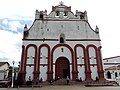
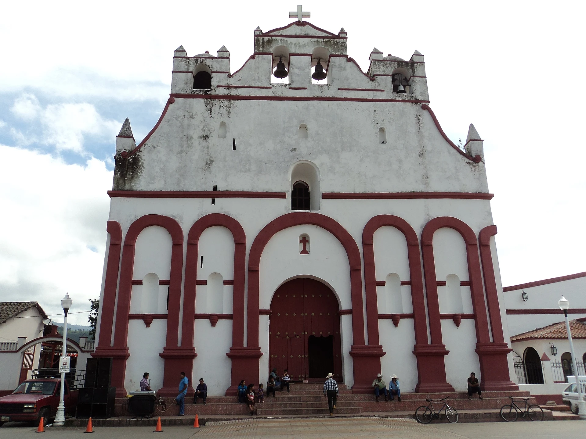
The main square is dominated by the 18th-century church of San Agustín, Dominican in origin, with a whitewashed front framed in red arches, a three-bell gable and a well-regarded altarpiece. The municipal market is a seven-minute walk from the square and the best place to eat; the highland cooking here is known for its cecina (thin dried beef). Two peaks watch over the town, Cerro del Tecolote and Cerro Pelón, both wrapped in local legends, and limestone caves open just outside town.
How to get to Teopisca
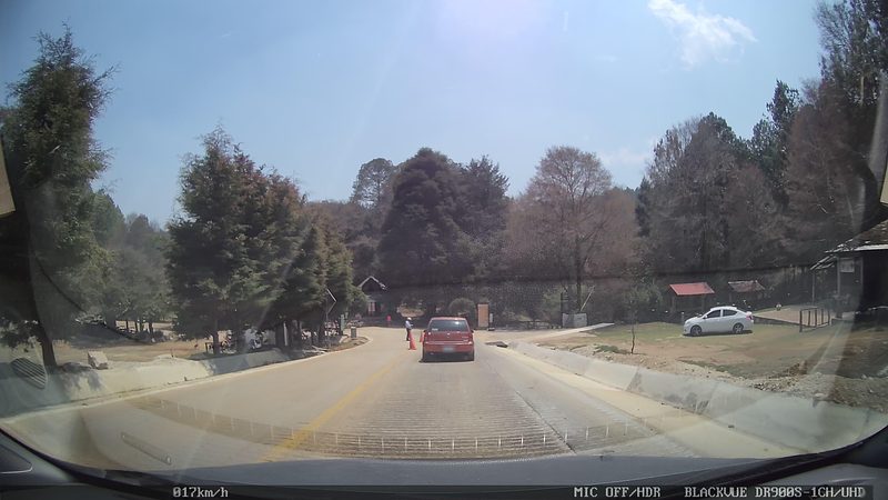
From San Cristóbal de Las Casas, which is also the nearest Pueblo Mágico, it is 33 km and about 35 minutes south on Federal Highway 190 (the Pan-American) toward Comitán, a stretch widened to four lanes that runs straight into town. Combis run regularly between San Cristóbal and Teopisca, taking just under an hour; catch them where Avenida Insurgentes meets the Carretera Internacional in Barrio de San Diego. Long-distance buses to Comitán do not stop in Teopisca.
Directions to Teopisca on Google Maps
Distances are in a straight line; the road is usually longer.
Links open a partner site. We may earn a commission if you book, at no cost to you.
From the nearest cities to Teopisca
- San Cristóbal de las Casas · about 35 km by road, ~30 min
- Comitán · about 60 km by road, ~55 min
- Tuxtla Gutiérrez · about 95 km by road, ~1 h 25 min
Drive times by road from OpenStreetMap, without traffic or stops. Times marked ~ are estimated from the straight-line distance.
Before you go to Teopisca: hours, prices and tips
- Guide or tour
- A local guide is recommended for the Teopisca caves. Programa Destinos México · checked Oct 2026
Hours and prices change, especially around holidays. Each fact links to where we checked it.
Visiting Teopisca: what to see and do
The 18th-century church of San Agustín and its altarpiece, on the main square.
The municipal market, seven minutes' walk from the square, for cecina and highland cooking.
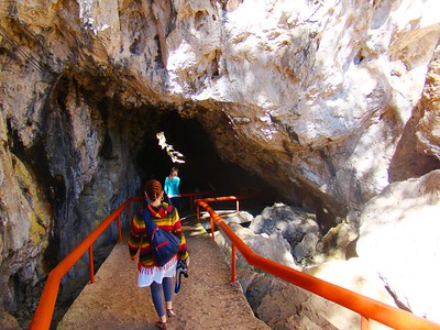
The Teopisca caves, 1 km southeast on Highway 190, with limestone formations; go with a local guide.
The Grutas del Obispo, about 2 km northwest, with a large, poorly signposted entrance.
Cerro del Tecolote and Cerro Pelón, the peaks around town.
Amatenango del Valle and its pottery, 4 km away.
Plan your trip
Places to stay in Teopisca
Compare hotels, posadas, and rentals in and around Teopisca.
Tours & activities
Day trips around San Cristóbal de Las Casas sometimes stop in Teopisca; a tour is the easy way to see it without a car.
Rental cars
Pick up a car at TGZ (Tuxtla Gutiérrez): about 1 h 17 min by road to San Cristóbal de Las Casas, then 28 km more to Teopisca, on your own schedule.
Flights
The nearest airport with scheduled flights is Tuxtla Gutiérrez (TGZ), about 1 h 17 min by road from San Cristóbal de Las Casas, the base for Teopisca.
Mobile data
Signal can drop away from San Cristóbal de Las Casas: download a map of the way to Teopisca before you set out, or carry an eSIM with data.
Links open a partner site. We may earn a commission if you book, at no cost to you.
When to go to Teopisca cool
Teopisca shares the climate of San Cristóbal de Las Casas, 28 km away. The best months to visit are January, February, March, and December.
See the month-by-month climate of San Cristóbal de Las Casas
Weather in Teopisca now and the next 7 days
Live forecast from Open-Meteo. Chance of rain is the day's highest.
The closest Pueblo Mágico: San Cristóbal de Las Casas

San Cristóbal de Las Casas is the Pueblo Mágico closest to Teopisca, with places to stay, food, and more to see.
Also close to
- Comitán · Chiapas · 49 km away
- Chiapa de Corzo · Chiapas · 61 km away
Closest to Teopisca
-
Amatenango del Valle · Town · 5 km away
-
Grutas de Rancho Nuevo · Cave · 18 km away
-
El Arcotete · Nature reserve · 24 km away
-
Venustiano Carranza · Town · 25 km away
-
Romerillo · Town · 27 km away
-
Tenejapa · Town · 31 km away
-
Reserva Ecológica Huitepec · Nature reserve · 33 km away
-
San Juan Chamula · Town · 36 km away


Near Teopisca
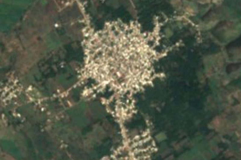


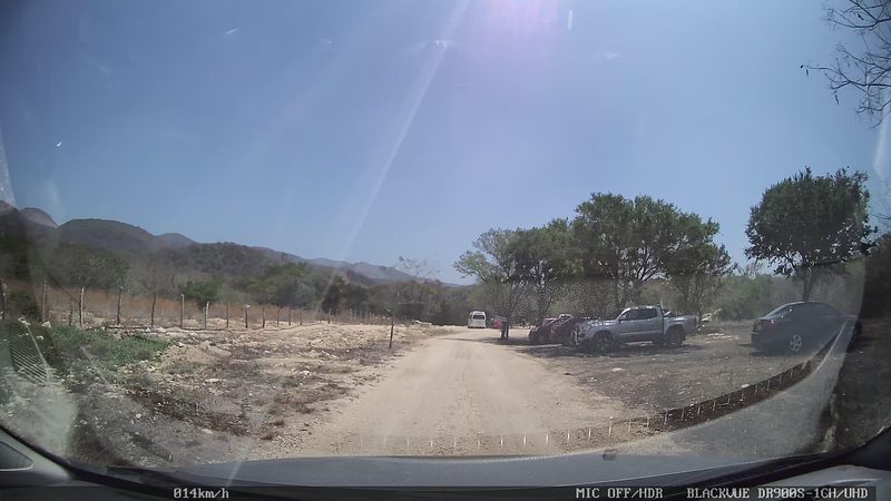

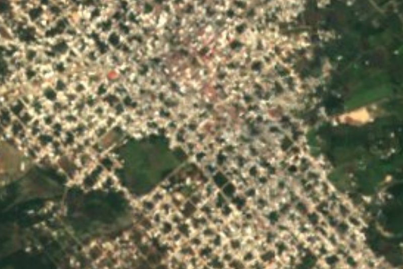


Drive times by road from OpenStreetMap, without traffic. Times marked ~ are estimated from the straight-line distance.
Location from OpenStreetMap. Written by Puebloteca.