Nature reserve Durango Municipality of Durango
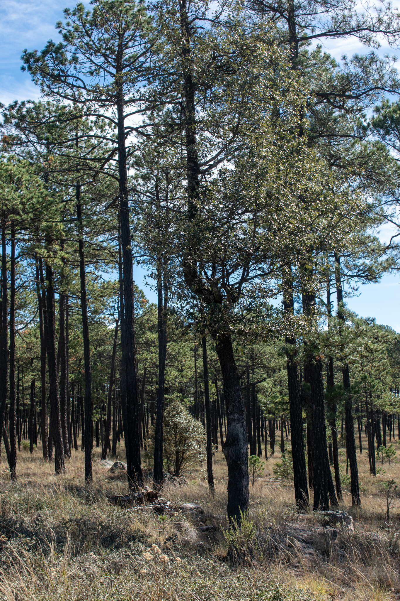
Pine and oak forest in the sierra off the old Mazatlán road: elk, white-tailed deer, captive Mexican wolves, cabins and a campground.
From Durango: 1 h by car (66 km by road) How to get there ↓
Near here
See everything nearby ↓


Plan your visit to Parque Ecológico El Tecuán
Where to stay near Parque Ecológico El Tecuán
Compare hotels, posadas and guest houses in Parque Ecológico El Tecuán.
Tours to Parque Ecológico El Tecuán
Day trips and guided outings from Nombre de Dios often include Parque Ecológico El Tecuán; with a local guide you can get there without a car.
How to get to Parque Ecológico El Tecuán
- From Durango: about 1 h by road (~66 km)
- Nearest airport: Durango (DGO), 1 h 3 min by car to Nombre de Dios
Links open a partner site. We may earn a commission if you book, at no cost to you.
About Parque Ecológico El Tecuán
Leaving the Guadiana Valley toward the coast, the free highway to Mazatlán starts climbing, and the mesquite gives way to the pine and oak of the Sierra Madre Occidental. About 40 minutes from the state capital, the forest of El Tecuán is a protected natural area run by the Durango state government's Secretariat of Natural Resources and Environment. For people in the city it is the weekend woods: trails, streams and small lakes among big trees, cabins, campsites, and an environmental education center certified by Mexico's federal environment ministry, Semarnat.
The animals are the draw. The park keeps a herd of wapiti, the large elk with branching antlers, and protects white-tailed deer that come close to visitors. It also takes part in conservation of the endangered Mexican gray wolf; local press reports three wolves living inside the park. Patient visitors can add squirrels, coyotes, foxes, reptiles and forest birds such as the white-breasted nuthatch.
The things to do are simple: walk under the pines, ride a bike, photograph wildlife, fish in the small lakes with your own gear, or spend the night under a sky with little light pollution. The cabins have electricity, a water heater, a grill and a barbecue area, and are booked by phone with the park office. At this altitude it turns cold in the evening even in summer, so pack warm layers. For anyone driving on to Mazatlán, El Tecuán makes a good first stop before El Salto and the canyons of the Espinazo del Diablo.
How to get to Parque Ecológico El Tecuán
Drive from Durango: 1 h, 66 km
The park lies on the free Durango–Mazatlán road (Federal Highway 40), around kilometer 57 according to local press, about 40 minutes west of the capital; this is not the 40D toll highway, which follows a different line. To reach Nombre de Dios, the nearest Pueblo Mágico, drive back through Durango and take Highway 45 southeast; allow about an hour and three quarters.
Directions to Parque Ecológico El Tecuán on Google Maps
Distances are in a straight line; the road is usually longer.
Links open a partner site. We may earn a commission if you book, at no cost to you.
From the nearest cities to Parque Ecológico El Tecuán
Drive times by road from OpenStreetMap, without traffic or stops. Times marked ~ are estimated from the straight-line distance.
Before you go to Parque Ecológico El Tecuán: hours, prices and tips
- What to bring
- Sturdy shoes, comfortable clothes, water, a hat and warm layers, as it gets cold at certain hours; your own gear if you plan to fish. Posta · checked Oct 2026
Hours and prices change, especially around holidays. Each fact links to where we checked it.
Visiting Parque Ecológico El Tecuán: what to see and do
Look for the wapiti herd among the pines.
Get close to the white-tailed deer in their protected areas.
Learn about the Mexican gray wolf conservation program.
Hike the trails along the streams.
Fish the small lakes with your own gear.
Camp or rent a cabin to see the night sky.
Plan your trip
Places to stay in Parque Ecológico El Tecuán
Compare hotels, posadas, and rentals in and around Parque Ecológico El Tecuán.
Tours & activities
Day trips and guided outings from Nombre de Dios often include Parque Ecológico El Tecuán; with a local guide you can get there without a car.
Rental cars
Pick up a car at DGO (Durango): about 1 h 3 min by road to Nombre de Dios, then 79 km more to Parque Ecológico El Tecuán, on your own schedule.
Flights
The nearest airport with scheduled flights is Durango (DGO), about 1 h 3 min by road from Nombre de Dios, the base for Parque Ecológico El Tecuán.
Travel insurance
If you plan on hiking at Parque Ecológico El Tecuán, check that your policy covers it: some plans leave adventure activities out.
Mobile data
Signal can drop away from Nombre de Dios: download a map of the way to Parque Ecológico El Tecuán before you set out, or carry an eSIM with data.
Links open a partner site. We may earn a commission if you book, at no cost to you.
When to go to Parque Ecológico El Tecuán mild
Parque Ecológico El Tecuán shares the climate of Nombre de Dios, 79 km away. The best months to visit are January, March, April, and December.
See the month-by-month climate of Nombre de Dios
Weather in Parque Ecológico El Tecuán now and the next 7 days
Live forecast from Open-Meteo. Chance of rain is the day's highest.
The closest Pueblo Mágico: Nombre de Dios

Nombre de Dios is the Pueblo Mágico closest to Parque Ecológico El Tecuán, with places to stay, food, and more to see.
Closest to Parque Ecológico El Tecuán
-
Presa General Guadalupe Victoria · Lake · 28 km away
-
Durango · City · 38 km away
-
Zona Arqueológica La Ferrería · Archaeological site · 38 km away
-
Parque temático Villas del Oeste · Landmark · 40 km away
Near Parque Ecológico El Tecuán

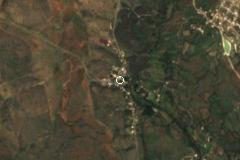


Drive times by road from OpenStreetMap, without traffic. Times marked ~ are estimated from the straight-line distance.
Lists with Parque Ecológico El Tecuán
Nature Parks in Durango · 4Location from OpenStreetMap. Written by Puebloteca.