
Lake Durango Municipality of Durango
The Tunal River reservoir 15 minutes from Durango: boat rides, fishing, trails among the crags, gorditas on the shore and a statue of Mexico's first president.
From Durango: 25 min by car (16 km by road) How to get there ↓
Near here
See everything nearby ↓




Plan your visit to Presa General Guadalupe Victoria
Where to stay near Presa General Guadalupe Victoria
Compare hotels, posadas and guest houses in Presa General Guadalupe Victoria.
Tours to Presa General Guadalupe Victoria
Day trips and guided outings from Nombre de Dios often include Presa General Guadalupe Victoria; with a local guide you can get there without a car.
How to get to Presa General Guadalupe Victoria
- From Durango: about 25 min by road (~16 km)
- Nearest airport: Durango (DGO), 1 h 3 min by car to Nombre de Dios
Links open a partner site. We may earn a commission if you book, at no cost to you.
About Presa General Guadalupe Victoria
The Tunal River comes down from the sierra and runs south of the state capital, but a few minutes from downtown it is held back by the General Guadalupe Victoria dam, also called Presidente Guadalupe Victoria. Completed in 1962 to a design by the old National Irrigation Commission, the dam wall stands 72.8 meters high and backs up a reservoir of about 460 hectares, holding 94.6 million cubic meters when full. It is run by Conagua, the national water commission, which uses it to control the flow down the river and the water sent to the treatment plant that supplies the city of Durango. In wet years, when the reservoir passes 90 percent, the gates are opened and the riverside villages downstream, from El Durazno and El Pueblito down to La Ferrería, go on alert.
For people in Durango it is the closest Sunday outing. The road out of the city runs through three villages along the river, El Nayar, El Pueblito and El Durazno, where stalls sell gorditas, corn on the cob and ranch-style bread. At the entrance to the dam a monument honors Guadalupe Victoria, Mexico's first president, who was born in the state and whose name is part of the capital's official title.
The green water sits in a basin of scrub-covered hills and reddish crags, with prickly pear and yucca on the slopes. Canopied boats leave from the shore for loops around the reservoir, and anglers sit on the rocks by the dam wall. Trails wind through the hills, some rock faces are used for rappelling, and the food stands sell gorditas, coconuts with chili and micheladas. The villages on the way have no hotels, since they are practically part of the city, but there is a glamping site near the dam with beds, bathrooms and heating for anyone who wants to stay by the water.
How to get to Presa General Guadalupe Victoria
Drive from Durango: 25 min, 16 km
The reservoir is about 12 km west of downtown Durango, roughly 15 minutes by car: leave the city on the road that follows the Tunal River, pass through El Pueblito and then El Durazno, and you reach the entrance with the monument. It is a short taxi ride. Nombre de Dios, the nearest Pueblo Mágico, lies on the far side of the capital: cross town to Highway 45 toward Zacatecas and take the turnoff after about 53 km, about an hour and a quarter in all.
Directions to Presa General Guadalupe Victoria on Google Maps
Distances are in a straight line; the road is usually longer.
Links open a partner site. We may earn a commission if you book, at no cost to you.
From the nearest cities to Presa General Guadalupe Victoria
- Durango · 16 km by road, 25 min
- Torreón · 266 km by road, 3 h 15 min
- Fresnillo · 244 km by road, 3 h 25 min
Drive times by road from OpenStreetMap, without traffic or stops. Times marked ~ are estimated from the straight-line distance.
Visiting Presa General Guadalupe Victoria: what to see and do
Take a canopied boat ride around the reservoir.
Look at the dam wall and its gates from the shore.
See the monument to Guadalupe Victoria at the entrance.
Hike the trails among the reddish crags.
Fish from the rocks beside the dam wall.
Eat gorditas in El Pueblito or at the food stands by the water.
Plan your trip
Places to stay in Presa General Guadalupe Victoria
Compare hotels, posadas, and rentals in and around Presa General Guadalupe Victoria.
Tours & activities
Day trips and guided outings from Nombre de Dios often include Presa General Guadalupe Victoria; with a local guide you can get there without a car.
Rental cars
Pick up a car at DGO (Durango): about 1 h 3 min by road to Nombre de Dios, then 53 km more to Presa General Guadalupe Victoria, on your own schedule.
Flights
The nearest airport with scheduled flights is Durango (DGO), about 1 h 3 min by road from Nombre de Dios, the base for Presa General Guadalupe Victoria.
Travel insurance
If you plan on swimming or kayaking at Presa General Guadalupe Victoria, check that your policy covers it: some plans leave adventure activities out.
Mobile data
Signal can drop away from Nombre de Dios: download a map of the way to Presa General Guadalupe Victoria before you set out, or carry an eSIM with data.
Links open a partner site. We may earn a commission if you book, at no cost to you.
When to go to Presa General Guadalupe Victoria mild
Presa General Guadalupe Victoria shares the climate of Nombre de Dios, 53 km away. The best months to visit are January, March, April, and December.
Presa General Guadalupe Victoria is best for swimming and time on the water in the warmest months (April, May, and June); in the rainiest ones (July, August, and September) expect storms in the afternoon.
See the month-by-month climate of Nombre de Dios
Weather in Presa General Guadalupe Victoria now and the next 7 days
Live forecast from Open-Meteo. Chance of rain is the day's highest.
The closest Pueblo Mágico: Nombre de Dios

Nombre de Dios is the Pueblo Mágico closest to Presa General Guadalupe Victoria, with places to stay, food, and more to see.
Closest to Presa General Guadalupe Victoria
-
Durango · City · 11 km away
-
Zona Arqueológica La Ferrería · Archaeological site · 11 km away
-
Parque temático Villas del Oeste · Landmark · 17 km away
-
Parque Ecológico El Tecuán · Nature reserve · 28 km away
-
Campo Volcánico de Durango · Mountain · 37 km away
-
El Saltito · Waterfall · 45 km away
-
Ojo de Agua de Los Berros · Nature reserve · 49 km away
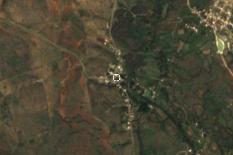
Near Presa General Guadalupe Victoria


Drive times by road from OpenStreetMap, without traffic. Times marked ~ are estimated from the straight-line distance.
Location from OpenStreetMap. Written by Puebloteca.