Mountain Durango Municipality of Durango
About a hundred volcanoes over 2,100 km² northeast of the city: the La Breña badlands, the red sand of Puerto Colorado and the El Jagüey crater lake.
From Durango: 1 h by car (36 km by road) How to get there ↓
Near here
See everything nearby ↓




Plan your visit to Campo Volcánico de Durango
Where to stay near Campo Volcánico de Durango
Compare hotels, posadas and guest houses in Campo Volcánico de Durango.
Tours to Campo Volcánico de Durango
Day trips and guided outings from Nombre de Dios often include Campo Volcánico de Durango; with a local guide you can get there without a car.
How to get to Campo Volcánico de Durango
- From Durango: about 1 h by road (~36 km)
- Nearest airport: Durango (DGO), 1 h 3 min by car to Nombre de Dios
Links open a partner site. We may earn a commission if you book, at no cost to you.
About Campo Volcánico de Durango
Northeast of the city of Durango, between the Guadiana and Nombre de Dios valleys, the plain turns into a crust of black, bubbly rock studded with cones. This is the Durango volcanic field: about a hundred volcanoes spread over some 2,100 km² along the eastern edge of the Sierra Madre Occidental. They erupted basanite, a low-silica lava that blankets the whole field in sheets around 10 meters thick, roughly 20 km³ of rock in all. The vents rose along northwest-trending faults tied to the San Luis–Tepehuanes fault system, at a time when the crust here was being pulled apart, and the lavas carry xenoliths, chunks of mantle rock brought up from deep below.
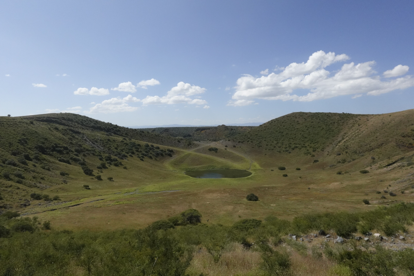
The field has never been fully dated. One cone gave an age of 0.8 million years, and from their erosion others look Pliocene to Pleistocene. The youngest are probably the La Breña and El Jagüey maars at the northern end, about 45 km north-northwest of the capital, whose lava flows are still almost bare; geologists suspect they are Holocene, only a few thousand years old. Maars are explosion craters, blasted out when rising magma met groundwater. La Breña is 1,400 to 1,500 meters across and holds several cinder cones inside; El Jagüey, about 700 meters wide, has a permanent lake on its floor. Both are ringed by tuff walls 30 to 70 meters high, at around 2,000 meters above sea level.
Much of the field is the malpaís of La Breña, a badland of vesicular basalt with little erosion, where prickly pear and yucca grow and cattle graze among the boulders. Named volcanoes include El Tepalcate and Puerto Colorado near the village of Tuitán, the latter known for reddish sand that makes an almost desert-like scene, and Maika in the Poanas valley, with the San Quintín ravine at its foot. The porous rock is thought to let rainwater seep down and warm up underground, feeding the hot-spring pools found around the region.
How to get to Campo Volcánico de Durango
Drive from Durango: 1 h, 36 km
The middle of the field lies about 25 km northeast of the capital, and Wikipedia gives Federal Highway 45, the Pan-American, as the access road. The La Breña and El Jagüey maars are at the northern end, some 45 km from Durango, and Puerto Colorado and El Tepalcate are near Tuitán. All are reached on dirt ranch roads with no public transport, so take a high-clearance vehicle and, ideally, a local who knows the way. Nombre de Dios, the nearest Pueblo Mágico, is on the same Highway 45 toward Zacatecas, about an hour from the city.
Directions to Campo Volcánico de Durango on Google Maps
Distances are in a straight line; the road is usually longer.
Links open a partner site. We may earn a commission if you book, at no cost to you.
From the nearest cities to Campo Volcánico de Durango
- Durango · 36 km by road, 1 h
- Torreón · 242 km by road, 3 h 20 min
- Fresnillo · 245 km by road, 3 h 50 min
Drive times by road from OpenStreetMap, without traffic or stops. Times marked ~ are estimated from the straight-line distance.
Visiting Campo Volcánico de Durango: what to see and do
Look into the El Jagüey crater and its permanent lake.
Walk the rim of the La Breña maar, with cinder cones on its floor.
Cross the reddish sand of the Puerto Colorado volcano near Tuitán.
Study the bubbly basalt of the malpaís, dotted with yucca and prickly pear.
Spot Maika volcano in the Poanas valley.
Plan your trip
Places to stay in Campo Volcánico de Durango
Compare hotels, posadas, and rentals in and around Campo Volcánico de Durango.
Tours & activities
Day trips and guided outings from Nombre de Dios often include Campo Volcánico de Durango; with a local guide you can get there without a car.
Rental cars
Pick up a car at DGO (Durango): about 1 h 3 min by road to Nombre de Dios, then 39 km more to Campo Volcánico de Durango, on your own schedule.
Flights
The nearest airport with scheduled flights is Durango (DGO), about 1 h 3 min by road from Nombre de Dios, the base for Campo Volcánico de Durango.
Travel insurance
If you plan on hiking at altitude at Campo Volcánico de Durango, check that your policy covers it: some plans leave adventure activities out.
Mobile data
Signal can drop away from Nombre de Dios: download a map of the way to Campo Volcánico de Durango before you set out, or carry an eSIM with data.
Links open a partner site. We may earn a commission if you book, at no cost to you.
When to go to Campo Volcánico de Durango mild
Campo Volcánico de Durango shares the climate of Nombre de Dios, 39 km away. The best months to visit are January, March, April, and December.
For the clearest views from Campo Volcánico de Durango, go in the driest months (March, April, May, and December); in the rains, clouds tend to build up by midday.
See the month-by-month climate of Nombre de Dios
Weather in Campo Volcánico de Durango now and the next 7 days
Live forecast from Open-Meteo. Chance of rain is the day's highest.
The closest Pueblo Mágico: Nombre de Dios

Nombre de Dios is the Pueblo Mágico closest to Campo Volcánico de Durango, with places to stay, food, and more to see.
Closest to Campo Volcánico de Durango
-
Durango · City · 26 km away
-
Parque temático Villas del Oeste · Landmark · 26 km away
-
El Saltito · Waterfall · 27 km away
-
Ojo de Agua de Los Berros · Nature reserve · 29 km away
-
Zona Arqueológica La Ferrería · Archaeological site · 29 km away
-
Presa General Guadalupe Victoria · Lake · 37 km away
Near Campo Volcánico de Durango

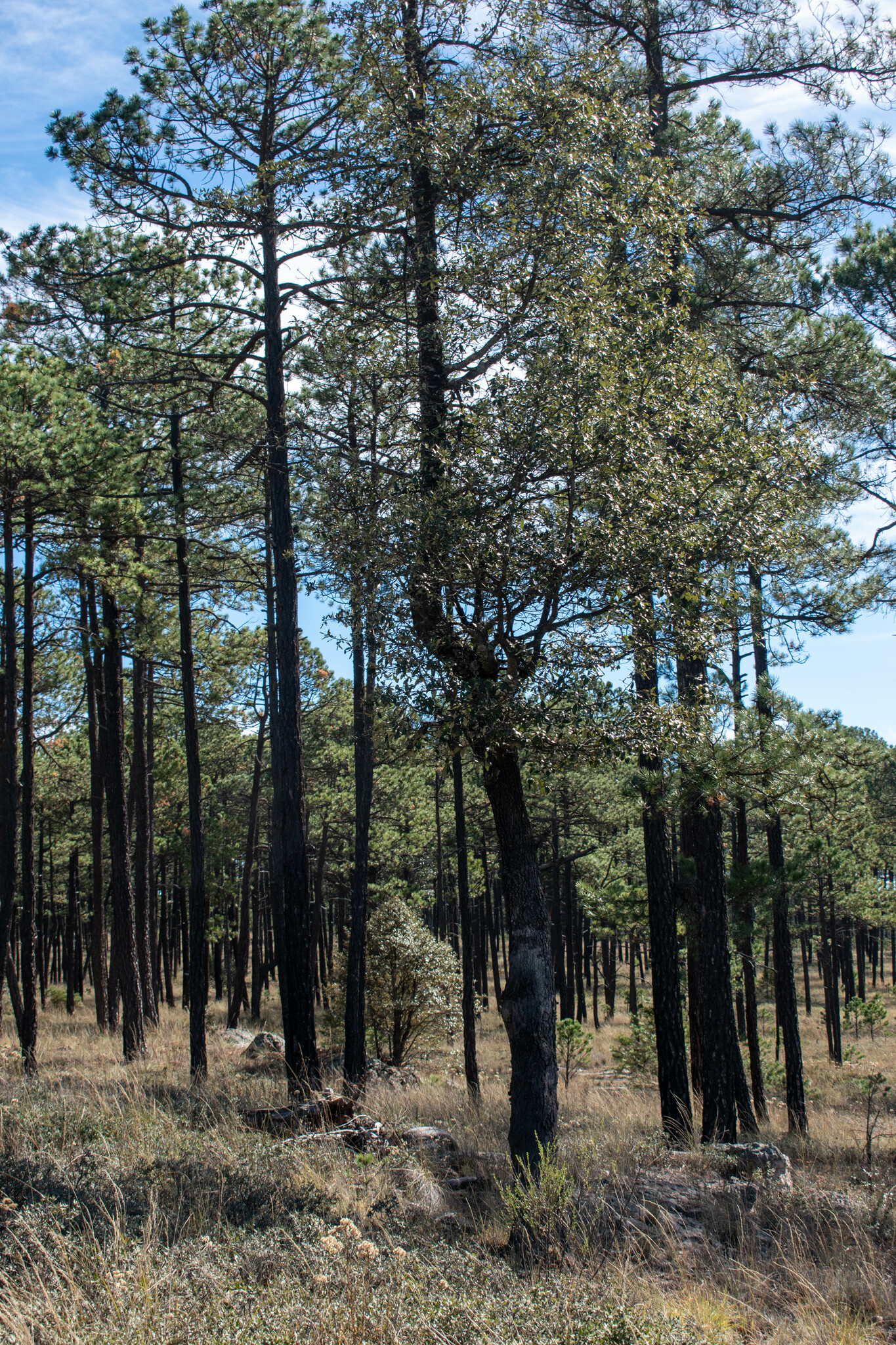
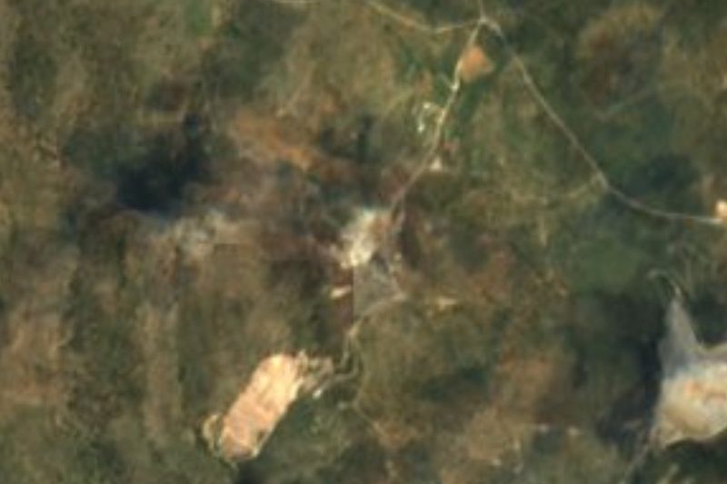
Drive times by road from OpenStreetMap, without traffic. Times marked ~ are estimated from the straight-line distance.
Location from OpenStreetMap. Written by Puebloteca.