

Town San Marcos, Jalisco
Seat of San Marcos municipality in Jalisco's Valles region beside Nayarit; founded in 1740 by Fray Antonio de Jesús, with its patron fiesta in April.
From Guadalajara: 1 h 45 min by car (103 km by road) How to get there ↓
Near here
See everything nearby ↓


Plan your visit to San Marcos
Where to stay near San Marcos
Compare hotels, posadas and guest houses in San Marcos.
Tours to San Marcos
Day trips around Amatlán de Cañas sometimes stop in San Marcos; a tour is the easy way to see it without a car.
How to get to San Marcos
- From Guadalajara: about 1 h 45 min by road (~103 km)
- Nearest airport: Tepic (TPQ), 1 h 49 min by car to Amatlán de Cañas
Links open a partner site. We may earn a commission if you book, at no cost to you.
About San Marcos
San Marcos is the seat of the municipality of the same name, in the Valles region of western Jalisco, right against the Nayarit border. It stands at about 1,376 metres above sea level and had 3,478 residents at the 2020 census, out of 3,791 in the whole municipality. Before the Spanish arrived the place was called Chistic or Xistic and belonged to the lordship of Tonallán.
According to Wikipedia, the town was founded on 28 June 1740 by Fray Antonio de Jesús, who also built the church; some IIEG documents instead give around 1540. It answered to Etzatlán through much of the 19th century, received pueblo status in 1886, and became a municipality by decree of 17 April 1907, in force from 1 January 1908.
The municipal economy rests on maize, sorghum, chickpeas, avocado and oranges, plus cattle and beekeeping. Local attractions include the church of San Marcos, clay pottery, and the hills Los Laureles and Los Pericos, along with the Agua Blanca area. The patron fiesta for Saint Mark the Evangelist is held around 17 to 25 April, with the saint's day on the 25th, and a 2026 Jalisco fiesta guide places it at 19 to 27 April, with horseback shows.
How to get to San Marcos
Drive from Guadalajara: 1 h 45 min, 103 km
San Marcos is in western Jalisco, about 90 km from Guadalajara (roughly 1 hour 45 minutes by car), at the Nayarit state line. Its municipality borders Etzatlán and Ameca, and Etzatlán is the usual reference point in the Valles region; the drive from Guadalajara follows the roads toward that area and ends on a local stretch into town. No bus schedules are published, so confirm with the bus lines any departures toward Etzatlán or San Marcos and a possible transfer.
Directions to San Marcos on Google Maps
Distances are in a straight line; the road is usually longer.
Links open a partner site. We may earn a commission if you book, at no cost to you.
From the nearest cities to San Marcos
- Guadalajara · 103 km by road, 1 h 45 min
- Puerto Vallarta · about 140 km by road, ~2 h 5 min
- Autlán · about 150 km by road, ~2 h 10 min
Drive times by road from OpenStreetMap, without traffic or stops. Times marked ~ are estimated from the straight-line distance.
Before you go to San Marcos: hours, prices and tips
- Best season
- Patron fiesta of Saint Mark the Evangelist, around 17 to 25 April (municipal data); a 2026 fiesta guide places it at 19 to 27 April. Dates shift with Lent. Hispanopedia, Municipio de San Marcos · checked Oct 2026
Hours and prices change, especially around holidays. Each fact links to where we checked it.
Visiting San Marcos: what to see and do
Church of San Marcos, built by Fray Antonio de Jesús after the 1740 founding
Cobbled streets of the centre, such as Calle Hidalgo
Clay pottery, a craft of the municipality
Hills Los Laureles and Los Pericos and the Agua Blanca area
Patron fiesta of Saint Mark the Evangelist, in April
Plan your trip
Places to stay in San Marcos
Compare hotels, posadas, and rentals in and around San Marcos.
Tours & activities
Day trips around Amatlán de Cañas sometimes stop in San Marcos; a tour is the easy way to see it without a car.
Rental cars
Pick up a car at TPQ (Tepic): about 1 h 49 min by road to Amatlán de Cañas, then 25 km more to San Marcos, on your own schedule.
Flights
The nearest airport with scheduled flights is Tepic (TPQ), about 1 h 49 min by road from Amatlán de Cañas, the base for San Marcos.
Mobile data
Signal can drop away from Amatlán de Cañas: download a map of the way to San Marcos before you set out, or carry an eSIM with data.
Links open a partner site. We may earn a commission if you book, at no cost to you.
When to go to San Marcos warm
San Marcos shares the climate of Amatlán de Cañas, 25 km away. The best months to visit are January, February, November, and December.
See the month-by-month climate of Amatlán de Cañas
Weather in San Marcos now and the next 7 days
Live forecast from Open-Meteo. Chance of rain is the day's highest.
The closest Pueblo Mágico: Amatlán de Cañas

Amatlán de Cañas is the Pueblo Mágico closest to San Marcos, with places to stay, food, and more to see.
Also close to
- Ixtlán del Río · Nayarit · 38 km away
- Tequila · Jalisco · 39 km away
- Ahuacatlán · Nayarit · 42 km away
- San Sebastián del Oeste · Jalisco · 43 km away
- Jala · Nayarit · 43 km away
Closest to San Marcos
-
Oconahua · Village · 6 km away
-
Palacio de Ocomo · Archaeological site · 6 km away
-
Ahualulco de Mercado · Town · 25 km away
-
Magdalena · Town · 26 km away
-
Ameca · Town · 31 km away
-
Guachinango · Village · 31 km away
-
Balneario El Manto · Waterfall · 32 km away
-
Los Toriles · Archaeological site · 32 km away
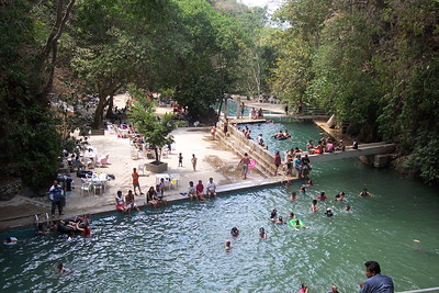

Near San Marcos


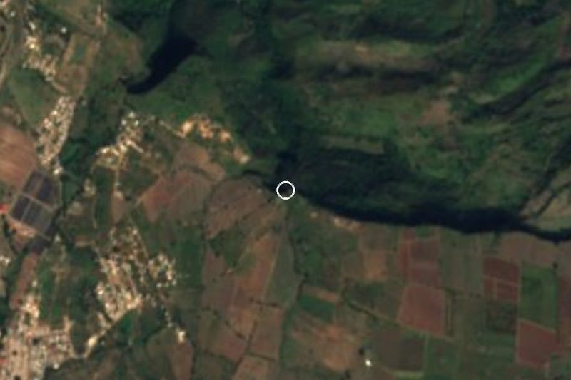


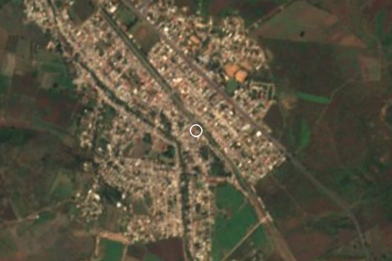
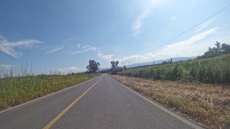


Drive times by road from OpenStreetMap, without traffic. Times marked ~ are estimated from the straight-line distance.
Location from OpenStreetMap. Written by Puebloteca.