Archaeological site Cuautla, Jalisco
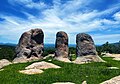
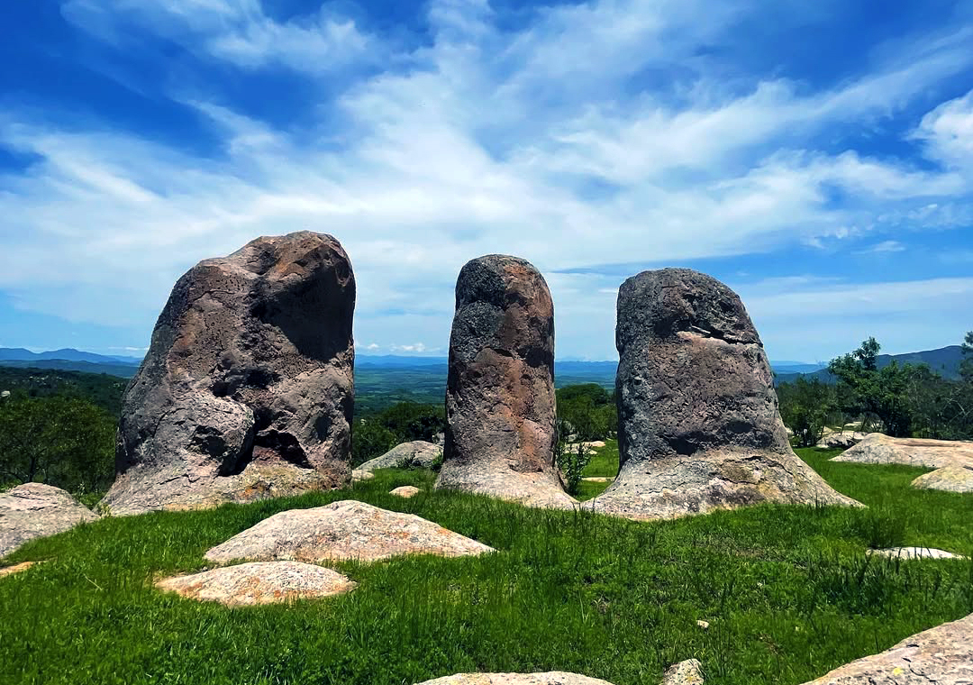
Standing stones up to five metres tall on a hill above Cuautla, Jalisco, where crowds watch the equinox sunrise.
From Autlán: about 55 min by road (~60 km) How to get there ↓
Near here
See everything nearby ↓


Plan your visit to Zona Arqueológica Las Águilas
Where to stay near Zona Arqueológica Las Águilas
Compare hotels, posadas and guest houses in Zona Arqueológica Las Águilas.
Tours to Zona Arqueológica Las Águilas
A guide brings Zona Arqueológica Las Águilas to life: look for tours from Talpa de Allende that include the site and the ride there.
How to get to Zona Arqueológica Las Águilas
- From Autlán: about 55 min by road (~60 km)
- Nearest airport: Puerto Vallarta (PVR), 2 h 23 min by car to Talpa de Allende
Links open a partner site. We may earn a commission if you book, at no cost to you.
About Zona Arqueológica Las Águilas
Las Águilas is a hill about 2 km from the town of Cuautla, in the mountains of western Jalisco, topped by a cluster of pale standing stones. Some are more than five metres tall, cut by horizontal cracks that make them look like stacked blocks, with rounded tops; pines, mistletoe-hung oaks and mesquites grow between them. The hilltop sits at a little over 1,700 metres, and on clear days you can see the Colima volcano. The town takes its name from the hill: Cuautla is read as the place where eagles land, and local legend says the rocks are eagles turned to stone to guard it.
The site is split into three parts: the monoliths, a small marker stone, and a semicircular rocky knoll to the south called the magic zone, where ceremonies are said to have been held. There are petroglyphs, though they are faint. Local chroniclers describe occupation going back to the Preclassic, with house platforms and a burial area. Whether the stones were arranged by people is another matter; no one has shown they are not a natural formation.
What you can see for yourself is the light. On certain mornings the sun rises in the V between the slanted tops of two monoliths and lights up the marker stone in the shadow. At the equinoxes a few hundred people climb up for it, between about 6:40 and 7:05 am, with municipal civil protection staff on site. A Guadalajara astronomer suggested May 21 or 22, when the sun passes overhead, as a good morning to watch.
How to get to Zona Arqueológica Las Águilas
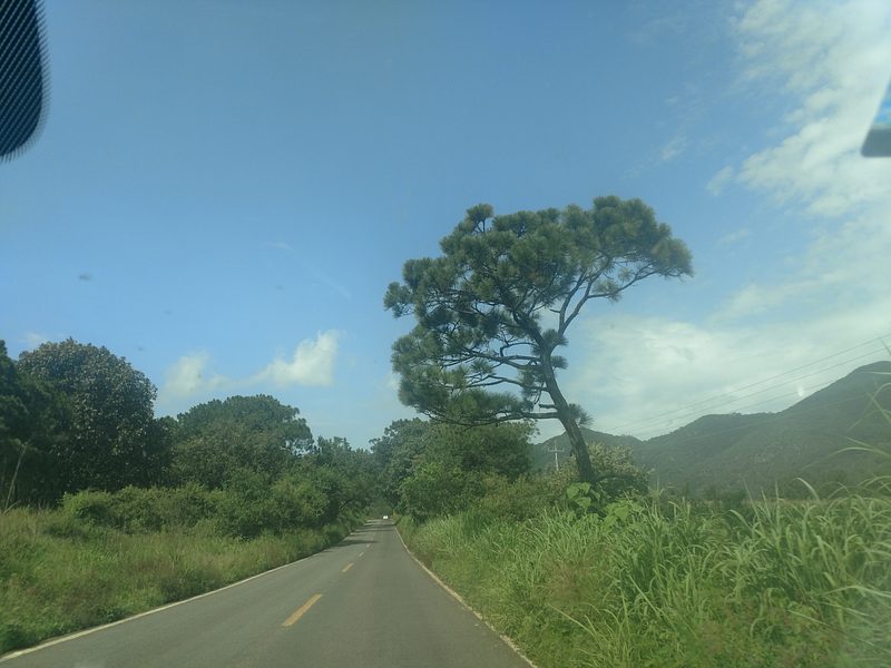
The hill is about 2 km southeast of Cuautla, on the side of the road to Ayutla. From Autlán, the nearest city, it is 1 h 40 min by car (77 km by road); from Talpa de Allende, the nearest Pueblo Mágico, 1 h 45 min (73 km); Guadalajara is about 115 km away. In Cuautla, take the dirt track that leaves near the cemetery; it gets rough in the rainy season, so a car with good clearance helps. Park on a grassy flat by a pond and walk the rest on a cobbled path with lamps and benches, about 1 km with roughly 75 m of climb. Cattle graze loose around the parking area and the trail. You can ask in Cuautla's plaza for a local guide.
Directions to Zona Arqueológica Las Águilas on Google Maps
Distances are in a straight line; the road is usually longer.
Links open a partner site. We may earn a commission if you book, at no cost to you.
From the nearest cities to Zona Arqueológica Las Águilas
- Autlán · about 60 km by road, ~55 min
- Puerto Vallarta · about 130 km by road, ~1 h 55 min
- Ciudad Guzmán · about 145 km by road, ~2 h 10 min
Drive times by road from OpenStreetMap, without traffic or stops. Times marked ~ are estimated from the straight-line distance.
Before you go to Zona Arqueológica Las Águilas: hours, prices and tips
- Time needed
- The path from the parking area is about 1 km, with roughly 75 m of climb. Mexico News Daily · checked Oct 2026
- Best time of day
- The dry season, November to April, brings clearer skies and an easier track; at the equinoxes the light effect shows between about 6:40 and 7:05 am. México Desconocido · checked Oct 2026
- Guide or tour
- A local guide is recommended; ask in Cuautla's plaza. Tours: Viator GetYourGuide México Desconocido · checked Oct 2026
Hours and prices change, especially around holidays. Each fact links to where we checked it.
Visiting Zona Arqueológica Las Águilas: what to see and do
Walk among the monoliths, some over five metres tall.
Climb up for an equinox sunrise to watch the light slip between two stones onto the marker stone.
Look for the faint petroglyphs on the neighbouring hilltop.
Stand in the roofed lookout on the cliff edge; on clear days the Colima volcano is in view.
Walk around the pond at the foot of the hill, which reflects the crag.
Visit the Talpita chapel, with more monoliths beside it, and the church of Santiago Apóstol in Cuautla.
Plan your trip
Places to stay in Zona Arqueológica Las Águilas
Compare hotels, posadas, and rentals in and around Zona Arqueológica Las Águilas.
Tours & activities
A guide brings Zona Arqueológica Las Águilas to life: look for tours from Talpa de Allende that include the site and the ride there.
Rental cars
Pick up a car at PVR (Puerto Vallarta): about 2 h 23 min by road to Talpa de Allende, then 50 km more to Zona Arqueológica Las Águilas, on your own schedule.
Flights
The nearest airport with scheduled flights is Puerto Vallarta (PVR), about 2 h 23 min by road from Talpa de Allende, the base for Zona Arqueológica Las Águilas.
Mobile data
Signal can drop away from Talpa de Allende: download a map of the way to Zona Arqueológica Las Águilas before you set out, or carry an eSIM with data.
Links open a partner site. We may earn a commission if you book, at no cost to you.
When to go to Zona Arqueológica Las Águilas mild
Zona Arqueológica Las Águilas shares the climate of Talpa de Allende, 50 km away. The best months to visit are January, March, November, and December.
See the month-by-month climate of Talpa de Allende
Weather in Zona Arqueológica Las Águilas now and the next 7 days
Live forecast from Open-Meteo. Chance of rain is the day's highest.
The closest Pueblo Mágico: Talpa de Allende

Talpa de Allende is the Pueblo Mágico closest to Zona Arqueológica Las Águilas, with places to stay, food, and more to see.
Also close to
- San Sebastián del Oeste · Jalisco · 55 km away
- Mascota · Jalisco · 56 km away
- Cocula · Jalisco · 62 km away
- Amatlán de Cañas · Nayarit · 70 km away
- Tapalpa · Jalisco · 71 km away
Closest to Zona Arqueológica Las Águilas
-
Cuautla · Village · 3 km away
-
Ayutla · Town · 8 km away
-
Atengo · Village · 18 km away
-
Tenamaxtlán · Town · 23 km away
-
Atenguillo · Village · 28 km away
-
Mixtlán · Village · 28 km away
-
Unión de Tula · Town · 29 km away
-
Mirador del Espinazo del Diablo · Viewpoint · 30 km away


Near Zona Arqueológica Las Águilas


Drive times by road from OpenStreetMap, without traffic. Times marked ~ are estimated from the straight-line distance.
Lists with Zona Arqueológica Las Águilas
Ruins in Jalisco · 4 Ruins near San Sebastián del Oeste · 3Location from OpenStreetMap. Written by Puebloteca.