

Village Tecolotlán, Jalisco
Second-largest locality in Tecolotlán municipality, with its Santa María de Guadalupe parish church and hills all around.
From Autlán: 1 h 55 min by car (91 km by road) How to get there ↓
Near here
See everything nearby ↓

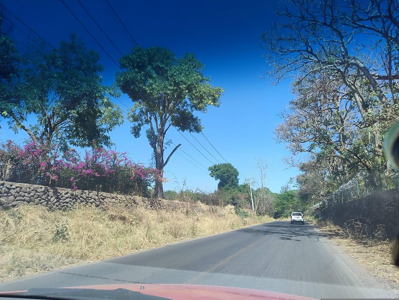


Plan your visit to Tamazulita
Where to stay near Tamazulita
Compare hotels, posadas and guest houses in Tamazulita.
Tours to Tamazulita
Day trips and guided outings from Cocula often include Tamazulita; with a local guide you can get there without a car.
How to get to Tamazulita
- From Autlán: about 1 h 55 min by road (~91 km)
- Nearest airport: Guadalajara (GDL), 1 h 14 min by car to Cocula
Links open a partner site. We may earn a commission if you book, at no cost to you.
About Tamazulita
Tamazulita is a locality in Tecolotlán municipality, in Jalisco's Sierra de Amula, at roughly 1,219 metres above sea level. Its name comes from the Nahuatl tamazollan, usually translated as "place of toads". The 2020 census counted 1,422 people, making it the municipality's second-largest locality after the seat; the peak was 1,457 in 2010, while in 1900 only 480 people lived here.
The village landmark is the parish church of Santa María de Guadalupe, with a domed bell tower and a pinkish facade, set over a cobbled plaza with street lamps and wrought-iron benches and hill country behind. Tecolotlán's patron-saint festivities, for San Agustín and Santa Rosa de Lima, run 20 to 30 August across the municipality, the Festival del Gis takes place on the third Sunday of October, and the Carnaval Taurino falls ten days before Ash Wednesday.
The local economy follows the municipality: cattle, goats and pigs, plus maize, chickpeas, alfalfa, peaches and agave. Hills near Tamazulita include Cerro Chupadero (1,737 m), about 6 km east, and La Coronilla (2,059 m), about 10 km south; the municipal seat of Tecolotlán is under 8 km away in a straight line and holds the community museum and most services.
How to get to Tamazulita
Drive from Autlán: 1 h 55 min, 91 km
Tamazulita lies in Tecolotlán municipality, which sits on the Guadalajara–Barra de Navidad highway (federal 80), about 107 km from Guadalajara according to Wikipedia. From Guadalajara you follow that highway to Tecolotlán and then take the local road to Tamazulita, under 8 km away in a straight line. Cocula, the nearest Pueblo Mágico, is about 40 km away (roughly 30 to 57 minutes by car depending on the source), and Ciudad Guzmán about 77 km, around 90 minutes. By bus, the trip to Tecolotlán is usually built from Guadalajara's Nueva Central Camionera with a transfer; no direct service to Tamazulita is published, so plan the last stretch by taxi or your own car.
Directions to Tamazulita on Google Maps
Distances are in a straight line; the road is usually longer.
Links open a partner site. We may earn a commission if you book, at no cost to you.
From the nearest cities to Tamazulita
- Autlán · 91 km by road, 1 h 55 min
- Guadalajara · 110 km by road, 2 h
- Colima · about 145 km by road, ~2 h 5 min
Drive times by road from OpenStreetMap, without traffic or stops. Times marked ~ are estimated from the straight-line distance.
Before you go to Tamazulita: hours, prices and tips
- Best season
- Tecolotlán's San Agustín and Santa Rosa de Lima fiestas, 20 to 30 August; Festival del Gis on the third Sunday of October; Carnaval Taurino ten days before Ash Wednesday. Wikipedia (Municipio de Tecolotlán) · checked Oct 2026
Hours and prices change, especially around holidays. Each fact links to where we checked it.
Visiting Tamazulita: what to see and do
Parish church of Santa María de Guadalupe and its plaza
Views of the surrounding hills, such as Cerro Chupadero
Museo Comunitario de Tecolotlán, with a fossil glyptodont shell
Presa El Pochote, known for carp and bass fishing
Sierra de Quila, a natural area of the municipality
Plan your trip
Places to stay in Tamazulita
Compare hotels, posadas, and rentals in and around Tamazulita.
Tours & activities
Day trips and guided outings from Cocula often include Tamazulita; with a local guide you can get there without a car.
Rental cars
Pick up a car at GDL (Guadalajara): about 1 h 14 min by road to Cocula, then 24 km more to Tamazulita, on your own schedule.
Flights
The nearest airport with scheduled flights is Guadalajara (GDL), about 1 h 14 min by road from Cocula, the base for Tamazulita.
Mobile data
Signal can drop away from Cocula: download a map of the way to Tamazulita before you set out, or carry an eSIM with data.
Links open a partner site. We may earn a commission if you book, at no cost to you.
When to go to Tamazulita mild
Tamazulita shares the climate of Cocula, 24 km away. The best months to visit are January, February, November, and December.
See the month-by-month climate of Cocula
Weather in Tamazulita now and the next 7 days
Live forecast from Open-Meteo. Chance of rain is the day's highest.
The closest Pueblo Mágico: Cocula

Cocula is the Pueblo Mágico closest to Tamazulita, with places to stay, food, and more to see.
Also close to
Closest to Tamazulita
-
Chiquilistlán · Town · 17 km away
-
Tenamaxtlán · Town · 20 km away
-
Hacienda San Diego · Landmark · 23 km away
-
Atemajac de Brizuela · Town · 26 km away
-
San Martín Hidalgo · Town · 26 km away
-
Atengo · Village · 29 km away
-
Ferrería de Tula · Landmark · 29 km away
-
Estipac · Village · 31 km away


Near Tamazulita
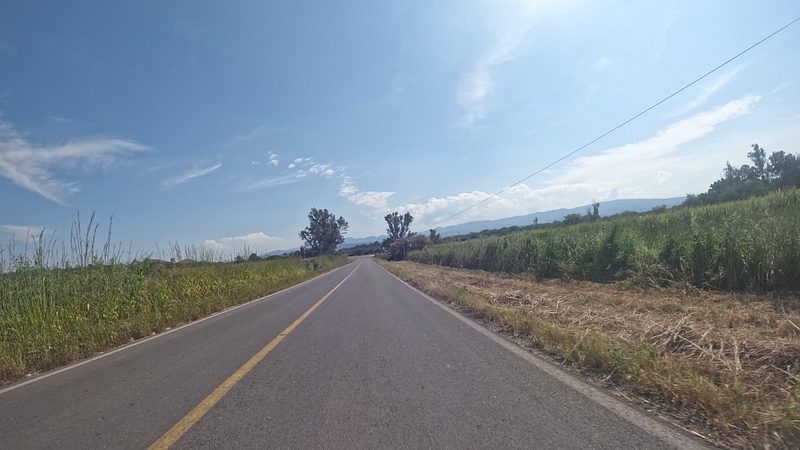


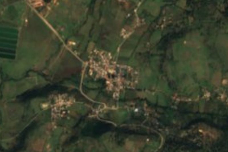
Drive times by road from OpenStreetMap, without traffic. Times marked ~ are estimated from the straight-line distance.
Location from OpenStreetMap. Written by Puebloteca.