
Town Tenamaxtlán, Jalisco
Sierra de Amula seat with a 1613 Franciscan-baroque church of Santiago Apóstol, goat birria and the Virgin of Atengo pilgrimage.
From Autlán: 1 h 30 min by car (73 km by road) How to get there ↓
Near here
See everything nearby ↓


Plan your visit to Tenamaxtlán
Where to stay near Tenamaxtlán
Compare hotels, posadas and guest houses in Tenamaxtlán.
Tours to Tenamaxtlán
Day trips around Cocula sometimes stop in Tenamaxtlán; a tour is the easy way to see it without a car.
How to get to Tenamaxtlán
- From Autlán: about 1 h 30 min by road (~73 km)
- Nearest airport: Guadalajara (GDL), 1 h 14 min by car to Cocula
Links open a partner site. We may earn a commission if you book, at no cost to you.
About Tenamaxtlán
Tenamaxtlán is the seat of the municipality of the same name, in Jalisco's Sierra de Amula region, at about 1,470 metres above sea level. The name is read as "place of abundant hearths" or "hearthstone", and it also recalls Tenamaxtle, the lord of the chiefdom that ruled Atengo, Ayutla, Soyotlán, Cuyutlán and Tepantla when the Spanish arrived. The region was conquered in 1524–1525; tradition dates the present town to 1535, under the patronage of the apostle Santiago. It had 4,940 inhabitants in 2020.
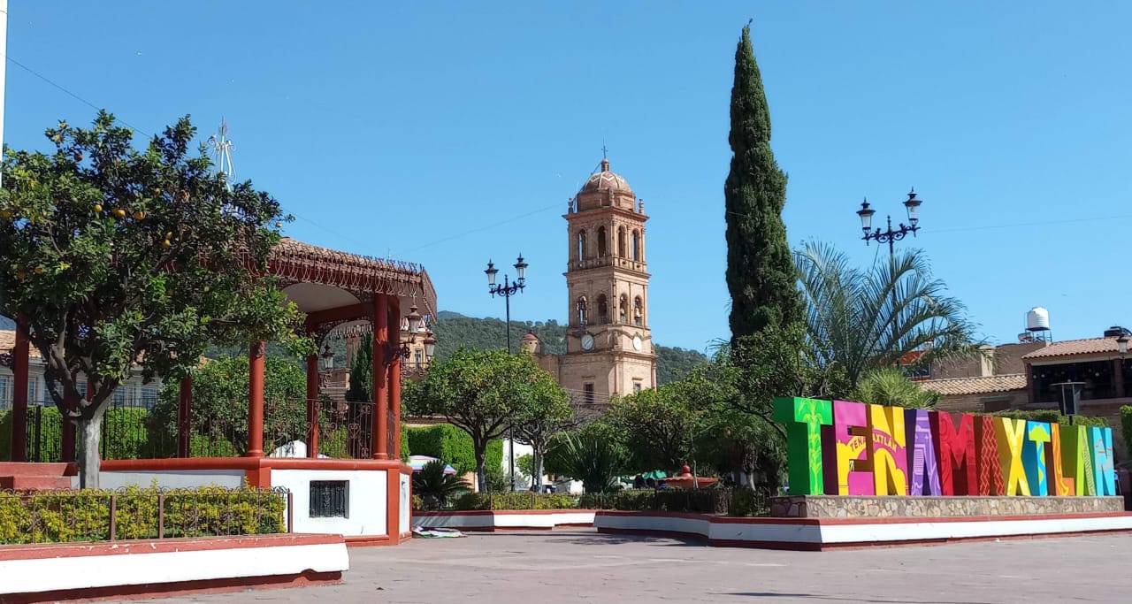
The main plaza has a bandstand, gardens and colourful letters spelling the town's name, and over it rises the clock tower of the church of Santiago Apóstol, in Franciscan baroque style, built between 1613 and 1616. Other places in the municipality include the Sagrado Corazón church, the Sierra de Quila, Cerro de los Moran, the Bordo de los Copales reservoir and the El Churijero archaeological site.
The oldest festival is the pilgrimage of the Virgin of the Nativity of Atengo, who arrives in town two days after Corpus Christi and returns to her basilica by 30 August. There are also celebrations for Perpetuo Socorro on 25–27 June, for the Immaculate Conception and the Virgin of Guadalupe from 30 November to 12 December, and a charro and bullfighting fair from 24 December to 5 January. On the table, the signature dish is goat birria.
How to get to Tenamaxtlán
Drive from Autlán: 1 h 30 min, 73 km
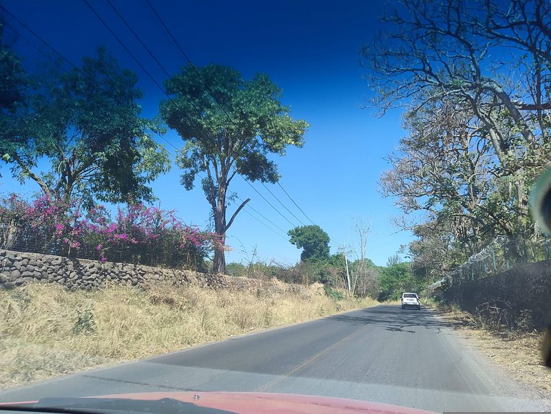
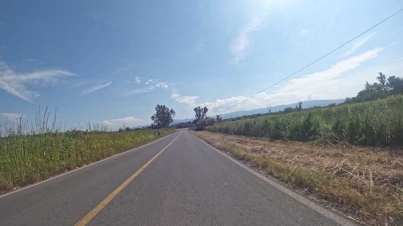
Tenamaxtlán is in the Sierra de Amula and borders Tecolotlán, Unión de Tula, Ejutla, Atengo, Ayutla and Juchitlán. Tecolotlán lies on the Guadalajara–Barra de Navidad highway (federal 80), about 107 km from Guadalajara, and is the nearest reference on that route. From Guadalajara's Nueva Central Camionera, platform module 1 has Flecha Amarilla departures to Cocula roughly hourly, about 1 hour 30 minutes; from there you continue by road to the west. Cocula, a Pueblo Mágico, is about 56 km away, roughly 57 minutes by car, and Ciudad Guzmán about 93 km, around 105 minutes. The final stretch is flat country around the seat.
Directions to Tenamaxtlán on Google Maps
Distances are in a straight line; the road is usually longer.
Links open a partner site. We may earn a commission if you book, at no cost to you.
From the nearest cities to Tenamaxtlán
- Autlán · 73 km by road, 1 h 30 min
- Guadalajara · 129 km by road, 2 h 15 min
- Colima · about 155 km by road, ~2 h 15 min
Drive times by road from OpenStreetMap, without traffic or stops. Times marked ~ are estimated from the straight-line distance.
Before you go to Tenamaxtlán: hours, prices and tips
- Best season
- Municipal anniversary 25 March; Virgin of Atengo pilgrimage after Corpus Christi; Perpetuo Socorro 25–27 June; Guadalupe 30 November–12 December; charro-taurine fair 24 December–5 January. Wikipedia (Municipio de Tenamaxtlán) · checked Oct 2026
Hours and prices change, especially around holidays. Each fact links to where we checked it.
Visiting Tenamaxtlán: what to see and do
Main plaza with its bandstand and colourful letters
Church of Santiago Apóstol (1613–1616), Franciscan baroque, with clock tower
Church of the Sagrado Corazón de Jesús
Sierra de Quila and Cerro de los Moran
Goat birria, the town's signature dish
Plan your trip
Places to stay in Tenamaxtlán
Compare hotels, posadas, and rentals in and around Tenamaxtlán.
Tours & activities
Day trips around Cocula sometimes stop in Tenamaxtlán; a tour is the easy way to see it without a car.
Rental cars
Pick up a car at GDL (Guadalajara): about 1 h 14 min by road to Cocula, then 39 km more to Tenamaxtlán, on your own schedule.
Flights
The nearest airport with scheduled flights is Guadalajara (GDL), about 1 h 14 min by road from Cocula, the base for Tenamaxtlán.
Mobile data
Signal can drop away from Cocula: download a map of the way to Tenamaxtlán before you set out, or carry an eSIM with data.
Links open a partner site. We may earn a commission if you book, at no cost to you.
When to go to Tenamaxtlán mild
Tenamaxtlán shares the climate of Cocula, 39 km away. The best months to visit are January, February, November, and December.
See the month-by-month climate of Cocula
Weather in Tenamaxtlán now and the next 7 days
Live forecast from Open-Meteo. Chance of rain is the day's highest.
The closest Pueblo Mágico: Cocula

Cocula is the Pueblo Mágico closest to Tenamaxtlán, with places to stay, food, and more to see.
Also close to
- Tapalpa · Jalisco · 52 km away
- San Sebastián del Oeste · Jalisco · 65 km away
- Sayula · Jalisco · 70 km away
- Talpa de Allende · Jalisco · 71 km away
- Amatlán de Cañas · Nayarit · 72 km away
Closest to Tenamaxtlán
-
Atengo · Village · 9 km away
-
Tamazulita · Village · 20 km away
-
Ayutla · Town · 21 km away
-
Cuautla · Village · 25 km away
-
San Martín Hidalgo · Town · 34 km away
-
Chiquilistlán · Town · 35 km away
-
Ejutla · Town · 35 km away
-
Mixtlán · Village · 35 km away


Near Tenamaxtlán


Drive times by road from OpenStreetMap, without traffic. Times marked ~ are estimated from the straight-line distance.
Location from OpenStreetMap. Written by Puebloteca.