Village Atengo, Jalisco
Municipal seat in the Sierra de Amula, home of the Virgen de la Natividad pilgrimage to Tenamaxtlán and back on 30 August.
From Autlán: 1 h 45 min by car (83 km by road) How to get there ↓
Near here
See everything nearby ↓


Plan your visit to Atengo
Where to stay near Atengo
Compare hotels, posadas and guest houses in Atengo.
Tours to Atengo
Day trips and guided outings from Cocula often include Atengo; with a local guide you can get there without a car.
How to get to Atengo
- From Autlán: about 1 h 45 min by road (~83 km)
- Nearest airport: Guadalajara (GDL), 1 h 14 min by car to Cocula
Links open a partner site. We may earn a commission if you book, at no cost to you.
About Atengo
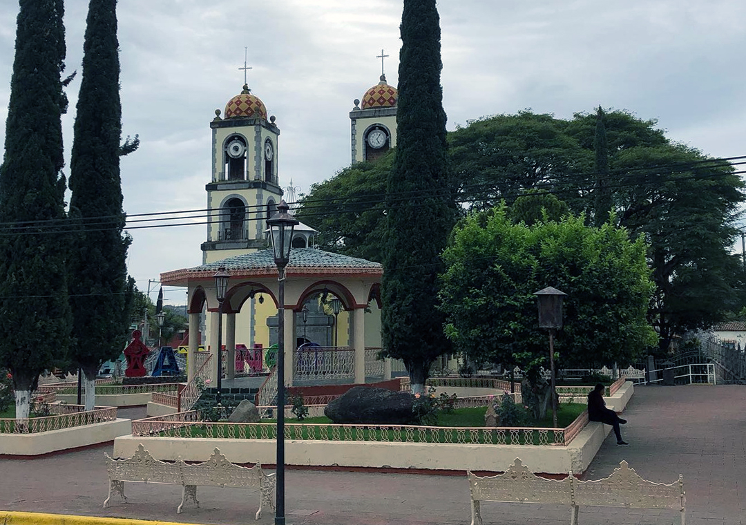
Atengo is the seat of the municipality of the same name, in the Sierra de Amula at about 1,400 metres above sea level. The name comes from Nahuatl and is read as "at the water's edge". It had 1,639 inhabitants at the 2020 census. The town belonged to the Tenamaxtlán cacicazgo; Francisco Cortés de San Buenaventura passed through in 1525 on his way to Tepic, it had a town council by 1825, and it became a municipality in 1918. The municipal hall dates from 1940.
What sets Atengo apart is the image of Nuestra Señora de la Natividad, a sculpture from about 1520-1530 that, according to a report in El Informador, Fray Diego Serrano left in the town around 1598. Each year, on the Saturday after Corpus Christi, the image is carried on shoulders from the Atengo basilica to Tenamaxtlán, where it visits homes, communities and fields, and it returns on 30 August with a large romería. The tradition turned 400 in 2015 and was interrupted only during the Cristero War. The fiesta of the Virgen de Atengo runs from 30 August to 8 September, and the regional fair is held 14-20 January.
The town has an old church, the El Rosario church and a colonial-style municipal hall. The surroundings include the El Picacho, La Tetilla and Telexeca woodlands and the Atengo river. Local crafts include leatherwork, lined jackets, traditional furniture and leather cords. Nativity plays are staged from 25 December to 1 January.
How to get to Atengo
Drive from Autlán: 1 h 45 min, 83 km
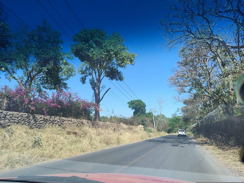
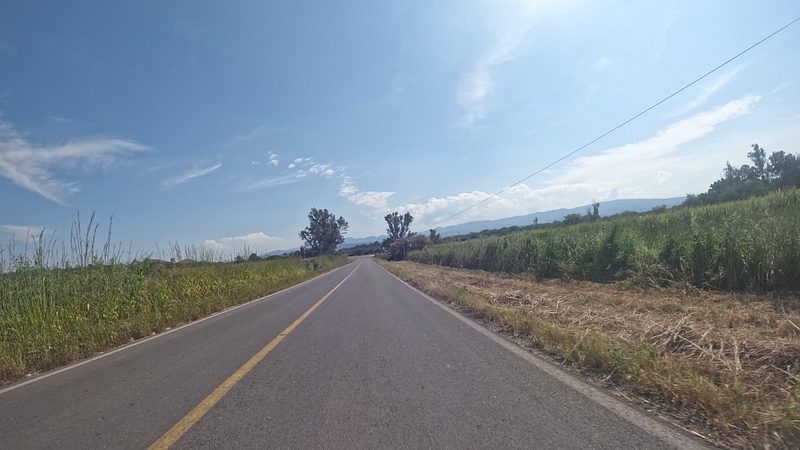
Atengo is in western Jalisco, in the Sierra de Amula, bordering Ameca, Tecolotlán, Ayutla, Tenamaxtlán, Guachinango, Atenguillo, Cuautla and Mixtlán. The known access is the Tenamaxtlán-Atengo road, the one pilgrims walk during the romería, when it is closed to traffic. From Cocula, the nearest Pueblo Mágico, it is about 44 km (roughly 50 minutes); from Ciudad Guzmán, about 103 km (around 2 hours). There are no published bus or colectivo schedules; ask in Tenamaxtlán or Tecolotlán about local transport.
Directions to Atengo on Google Maps
Distances are in a straight line; the road is usually longer.
Links open a partner site. We may earn a commission if you book, at no cost to you.
From the nearest cities to Atengo
- Autlán · 83 km by road, 1 h 45 min
- Puerto Vallarta · about 145 km by road, ~2 h 10 min
- Colima · about 165 km by road, ~2 h 25 min
Drive times by road from OpenStreetMap, without traffic or stops. Times marked ~ are estimated from the straight-line distance.
Before you go to Atengo: hours, prices and tips
- Best season
- Romería: Saturday after Corpus Christi (departs for Tenamaxtlán) and return on 30 August; Virgin's fiesta 30 August-8 September; regional fair 14-20 January. El Informador / EcuRed · checked Oct 2026
Hours and prices change, especially around holidays. Each fact links to where we checked it.
Visiting Atengo: what to see and do
The basilica and sanctuary of Nuestra Señora de la Natividad, home of the 16th-century image
The 30 August romería, when the Virgin returns from Tenamaxtlán
The El Rosario church and the old church
The municipal hall, built in 1940
The El Picacho, La Tetilla and Telexeca woodlands
Plan your trip
Places to stay in Atengo
Compare hotels, posadas, and rentals in and around Atengo.
Tours & activities
Day trips and guided outings from Cocula often include Atengo; with a local guide you can get there without a car.
Rental cars
Pick up a car at GDL (Guadalajara): about 1 h 14 min by road to Cocula, then 44 km more to Atengo, on your own schedule.
Flights
The nearest airport with scheduled flights is Guadalajara (GDL), about 1 h 14 min by road from Cocula, the base for Atengo.
Mobile data
Signal can drop away from Cocula: download a map of the way to Atengo before you set out, or carry an eSIM with data.
Links open a partner site. We may earn a commission if you book, at no cost to you.
When to go to Atengo mild
Atengo shares the climate of Cocula, 44 km away. The best months to visit are January, February, November, and December.
See the month-by-month climate of Cocula
Weather in Atengo now and the next 7 days
Live forecast from Open-Meteo. Chance of rain is the day's highest.
The closest Pueblo Mágico: Cocula

Cocula is the Pueblo Mágico closest to Atengo, with places to stay, food, and more to see.
Also close to
- San Sebastián del Oeste · Jalisco · 56 km away
- Tapalpa · Jalisco · 62 km away
- Talpa de Allende · Jalisco · 62 km away
- Amatlán de Cañas · Nayarit · 64 km away
- Mascota · Jalisco · 64 km away
Closest to Atengo
-
Tenamaxtlán · Town · 9 km away
-
Cuautla · Village · 19 km away
-
Ayutla · Town · 20 km away
-
Mixtlán · Village · 26 km away
-
Tamazulita · Village · 29 km away
-
Atenguillo · Village · 31 km away
-
Ameca · Town · 36 km away
-
Guachinango · Village · 37 km away


Near Atengo





Drive times by road from OpenStreetMap, without traffic. Times marked ~ are estimated from the straight-line distance.
Location from OpenStreetMap. Written by Puebloteca.