Village Cuautla, Jalisco
Municipal seat in the Sierra de Amula, on the old royal road to Talpa; near the Las Águilas archaeological zone. Santiago fiesta in July.
From Autlán: 1 h 45 min by car (78 km by road) How to get there ↓
Near here
See everything nearby ↓


Plan your visit to Cuautla
Where to stay near Cuautla
Compare hotels, posadas and guest houses in Cuautla.
Tours to Cuautla
Day trips and guided outings from Talpa de Allende often include Cuautla; with a local guide you can get there without a car.
How to get to Cuautla
- From Autlán: about 1 h 45 min by road (~78 km)
- Nearest airport: Puerto Vallarta (PVR), 2 h 23 min by car to Talpa de Allende
Links open a partner site. We may earn a commission if you book, at no cost to you.
About Cuautla
Cuautla is the seat of the municipality of the same name, in Jalisco's Sierra de Amula region, at about 1,719 metres above sea level. The name comes from Nahuatl and is translated as "place of eagles" or, in other readings, "nest of eagles". The town had 1,330 inhabitants at the 2020 census. Many Cuautlenses have emigrated to the United States, and the "absent sons" return mostly in July; they also helped pay for the town's airstrip.
According to the IIEG, the first settlers fled cholera from a site called Tetitlán, 3 km from the present town, and took shelter in a grove beside the royal road to Talpa and Mascota; there they began selling food and lodging the pilgrims heading for Talpa. It became a municipality by the decree of 29 February 1888, a rank pursued by General Ramón Corona.
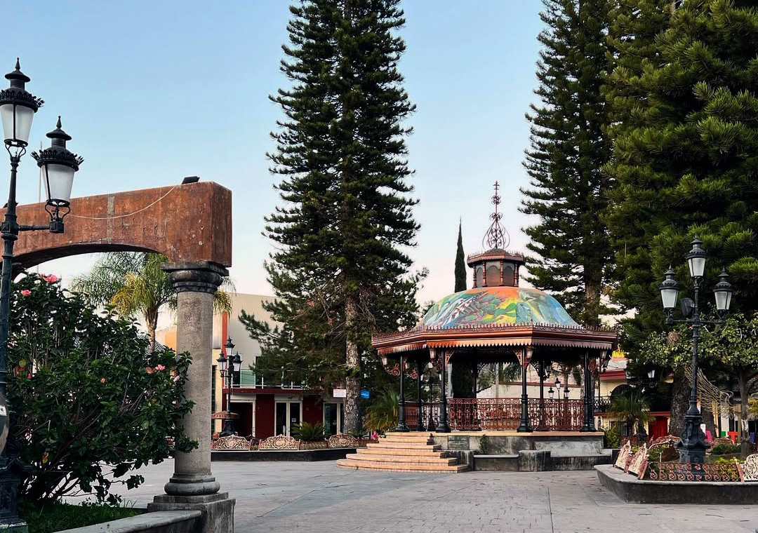
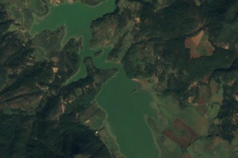
The centre has the Templo de Santiago Apóstol, built around 1750 with adobe walls and vaults made with clay pots, the main plaza, which has been remodelled five times, the Casa de la Cultura and the Portal Hidalgo. A few kilometres away is the Las Águilas archaeological zone, at about 1,779 metres, with four monoliths that the municipal plan says mark the start of the seasons, petroglyphs and a broad space for sky observation; it was promoted in the late 1980s by the researcher Miguel Mora. The town also has a spa hotel, and the municipality includes the Santa Bárbara river, the Las Codornices dam and the Sierra de Chilacayote with pine, oak and encino.
How to get to Cuautla
Drive from Autlán: 1 h 45 min, 78 km
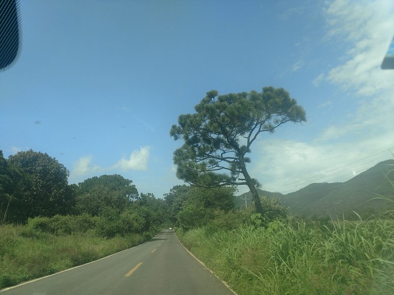
The municipal plan says the town is reached by the Guadalajara-Barra de Navidad highway, at the junction toward Mascota and Puerto Vallarta, and that the road is paved as far as the municipal seat; about 70% of the roads to outlying communities are dirt. Cuautla is about 48 km (approx. 55 minutes) from Talpa de Allende, along the old pilgrims' route, and about 98 km (approx. 1 h 55 min) from Puerto Vallarta. The plan says transport within the municipality is by taxi and private vehicles and publishes no bus lines of its own for Cuautla, so the practical way is to drive or combine a bus to Talpa or Mascota with a taxi.
Directions to Cuautla on Google Maps
Distances are in a straight line; the road is usually longer.
Links open a partner site. We may earn a commission if you book, at no cost to you.
From the nearest cities to Cuautla
- Autlán · 78 km by road, 1 h 45 min
- Colima · about 165 km by road, ~2 h 25 min
- Guadalajara · 169 km by road, 3 h 10 min
Drive times by road from OpenStreetMap, without traffic or stops. Times marked ~ are estimated from the straight-line distance.
Before you go to Cuautla: hours, prices and tips
- Best season
- Santiago Apóstol fiesta 16-25 July, when emigrants return, with mariachi and banda; Independence Day 15-16 September; Virgen de Guadalupe 1-12 December. Wikipedia (Municipio de Cuautla) and English Wikipedia · checked Oct 2026
Hours and prices change, especially around holidays. Each fact links to where we checked it.
Visiting Cuautla: what to see and do
Templo de Santiago Apóstol, from about 1750, with adobe walls
Main plaza, Casa de la Cultura and Portal Hidalgo
Las Águilas archaeological zone, with monoliths and petroglyphs
Las Codornices dam and the Santa Bárbara river
Santiago Apóstol fiesta, 16-25 July
Plan your trip
Places to stay in Cuautla
Compare hotels, posadas, and rentals in and around Cuautla.
Tours & activities
Day trips and guided outings from Talpa de Allende often include Cuautla; with a local guide you can get there without a car.
Rental cars
Pick up a car at PVR (Puerto Vallarta): about 2 h 23 min by road to Talpa de Allende, then 48 km more to Cuautla, on your own schedule.
Flights
The nearest airport with scheduled flights is Puerto Vallarta (PVR), about 2 h 23 min by road from Talpa de Allende, the base for Cuautla.
Mobile data
Signal can drop away from Talpa de Allende: download a map of the way to Cuautla before you set out, or carry an eSIM with data.
Links open a partner site. We may earn a commission if you book, at no cost to you.
When to go to Cuautla mild
Cuautla shares the climate of Talpa de Allende, 48 km away. The best months to visit are January, March, November, and December.
See the month-by-month climate of Talpa de Allende
Weather in Cuautla now and the next 7 days
Live forecast from Open-Meteo. Chance of rain is the day's highest.
The closest Pueblo Mágico: Talpa de Allende

Talpa de Allende is the Pueblo Mágico closest to Cuautla, with places to stay, food, and more to see.
Also close to
- San Sebastián del Oeste · Jalisco · 53 km away
- Mascota · Jalisco · 54 km away
- Cocula · Jalisco · 64 km away
- Amatlán de Cañas · Nayarit · 68 km away
- Tapalpa · Jalisco · 74 km away
Closest to Cuautla
-
Ayutla · Town · 10 km away
-
Atengo · Village · 19 km away
-
Atenguillo · Village · 25 km away
-
Tenamaxtlán · Town · 25 km away
-
Mixtlán · Village · 26 km away
-
Mirador del Espinazo del Diablo · Viewpoint · 28 km away
-
Bosque de Arce · Nature reserve · 36 km away
-
Ejutla · Town · 42 km away

Near Cuautla



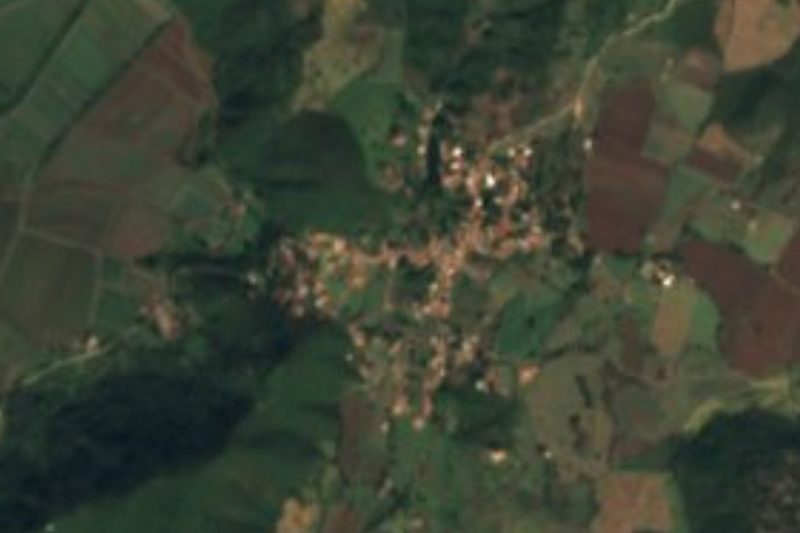


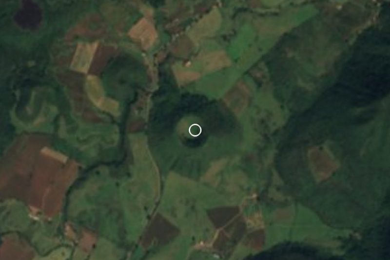
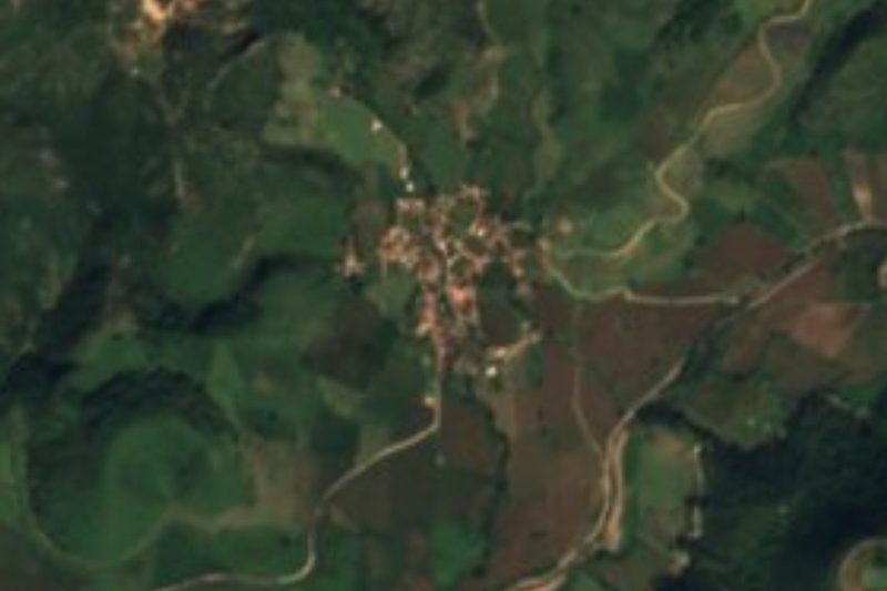

Drive times by road from OpenStreetMap, without traffic. Times marked ~ are estimated from the straight-line distance.
Location from OpenStreetMap. Written by Puebloteca.