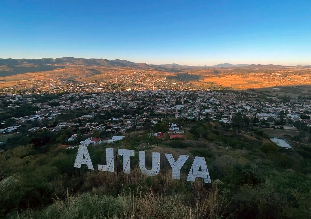
Town Ayutla, Jalisco
Municipal seat in the Sierra de Amula near Trigomil dam, with a bullfighting fair in January and the San Miguel fiesta in September.
From Autlán: 1 h 25 min by car (66 km by road) How to get there ↓
Near here
See everything nearby ↓


Plan your visit to Ayutla
Where to stay near Ayutla
Compare hotels, posadas and guest houses in Ayutla.
Tours to Ayutla
Day trips around Talpa de Allende sometimes stop in Ayutla; a tour is the easy way to see it without a car.
How to get to Ayutla
- From Autlán: about 1 h 25 min by road (~66 km)
- Nearest airport: Puerto Vallarta (PVR), 2 h 23 min by car to Talpa de Allende
Links open a partner site. We may earn a commission if you book, at no cost to you.
About Ayutla
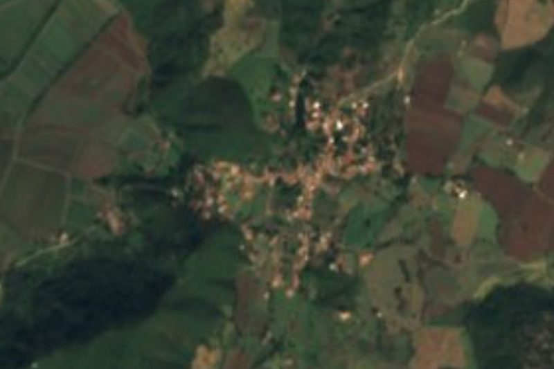
Ayutla is the seat of the municipality of the same name in western Jalisco, at about 1,370 m above sea level. It had 7,469 inhabitants at the 2020 census. The name comes from Nahuatl: ayotl, turtle, and tlan, abundance, meaning a place where turtles abound.
The site was inhabited before the conquest. Captain Francisco Cortés de San Buenaventura subdued the region in 1524, and the seat was first at Tepospisaloya until a decree of 1830 moved it to Ayutla. The municipality borders Autlán de Navarro, Cuautla, Atengo, Tenamaxtlán, Unión de Tula, Villa Purificación and Tomatlán.
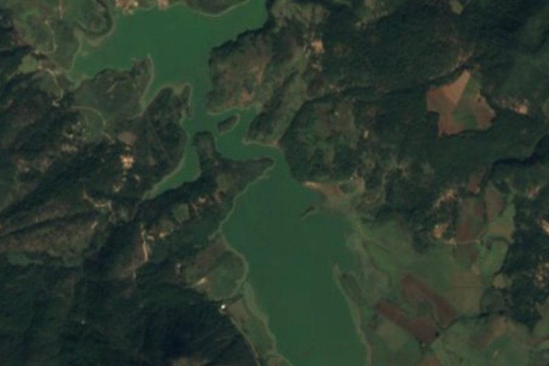
The former parish church now serves as a house of culture and museum. In the surroundings, the Ramón Corona dam, known as Trigomil, offers boat rides, sport fishing and a restaurant, and there are ecotourism centres with lodging, camping, hiking, zip-lining and rappelling. Local crafts include saddles, huaraches and carrizo-cane goods, and regional dishes include pozole, pepián and birria.
The two strongest dates in the calendar are the bullfighting fair, 19 to 30 January, and the fiestas for San Miguel, 19 to 29 September. The Ayutla or San Pedro river crosses the municipality from north to south.
How to get to Ayutla
Drive from Autlán: 1 h 25 min, 66 km
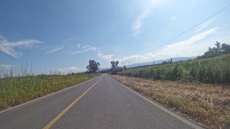
Ayutla is about 156 km from Guadalajara by road, roughly 2 h 50 min by car: leave on federal highway 15 and take federal 80 toward Autlán, with the last stretch on JAL 526. Autlán de Navarro is about 67 km away (about 1 h 25 min). There is no direct bus from Guadalajara. One option is Primera Plus from the Central Periférico in Tlaquepaque to Unión de Tula (about 1 h 50 min) and then a taxi to Ayutla (about 1 h 30 min); another is Rojo de los Altos from the Nueva Central Camionera de Guadalajara (module 7) to El Conejo, in Cuautla, and then local transport. Route-planner schedules are estimates, so confirm with the line (Primera Plus: primeraplus.com.mx).
Directions to Ayutla on Google Maps
Distances are in a straight line; the road is usually longer.
Links open a partner site. We may earn a commission if you book, at no cost to you.
From the nearest cities to Ayutla
- Autlán · 66 km by road, 1 h 25 min
- Puerto Vallarta · about 140 km by road, ~2 h 5 min
- Manzanillo · about 155 km by road, ~2 h 20 min
Drive times by road from OpenStreetMap, without traffic or stops. Times marked ~ are estimated from the straight-line distance.
Before you go to Ayutla: hours, prices and tips
- Best season
- Bullfighting fair 19 to 30 January; San Miguel fiestas 19 to 29 September. Wikipedia · checked Oct 2026
Hours and prices change, especially around holidays. Each fact links to where we checked it.
Visiting Ayutla: what to see and do
The former parish church, now a house of culture and museum.
Ramón Corona (Trigomil) dam: boat rides, fishing and a restaurant.
Ecotourism centres with camping, hiking, zip-lining and rappelling.
Saddles, huaraches and carrizo crafts.
Bullfighting fair, 19 to 30 January.
Fiestas for San Miguel, 19 to 29 September.
Plan your trip
Places to stay in Ayutla
Compare hotels, posadas, and rentals in and around Ayutla.
Tours & activities
Day trips around Talpa de Allende sometimes stop in Ayutla; a tour is the easy way to see it without a car.
Rental cars
Pick up a car at PVR (Puerto Vallarta): about 2 h 23 min by road to Talpa de Allende, then 57 km more to Ayutla, on your own schedule.
Flights
The nearest airport with scheduled flights is Puerto Vallarta (PVR), about 2 h 23 min by road from Talpa de Allende, the base for Ayutla.
Mobile data
Signal can drop away from Talpa de Allende: download a map of the way to Ayutla before you set out, or carry an eSIM with data.
Links open a partner site. We may earn a commission if you book, at no cost to you.
When to go to Ayutla mild
Ayutla shares the climate of Talpa de Allende, 57 km away. The best months to visit are January, March, November, and December.
See the month-by-month climate of Talpa de Allende
Weather in Ayutla now and the next 7 days
Live forecast from Open-Meteo. Chance of rain is the day's highest.
The closest Pueblo Mágico: Talpa de Allende

Talpa de Allende is the Pueblo Mágico closest to Ayutla, with places to stay, food, and more to see.
Also close to
- Cocula · Jalisco · 61 km away
- San Sebastián del Oeste · Jalisco · 63 km away
- Mascota · Jalisco · 64 km away
- Tapalpa · Jalisco · 65 km away
- Amatlán de Cañas · Nayarit · 76 km away
Closest to Ayutla
-
Cuautla · Village · 10 km away
-
Atengo · Village · 20 km away
-
Tenamaxtlán · Town · 21 km away
-
Ejutla · Town · 31 km away
-
Atenguillo · Village · 35 km away
-
Mixtlán · Village · 35 km away
-
El Grullo · Town · 38 km away
-
Mirador del Espinazo del Diablo · Viewpoint · 38 km away


Near Ayutla


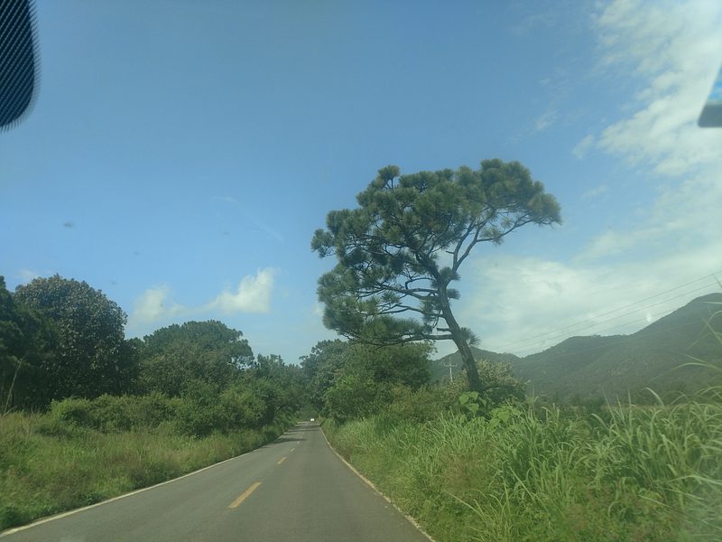

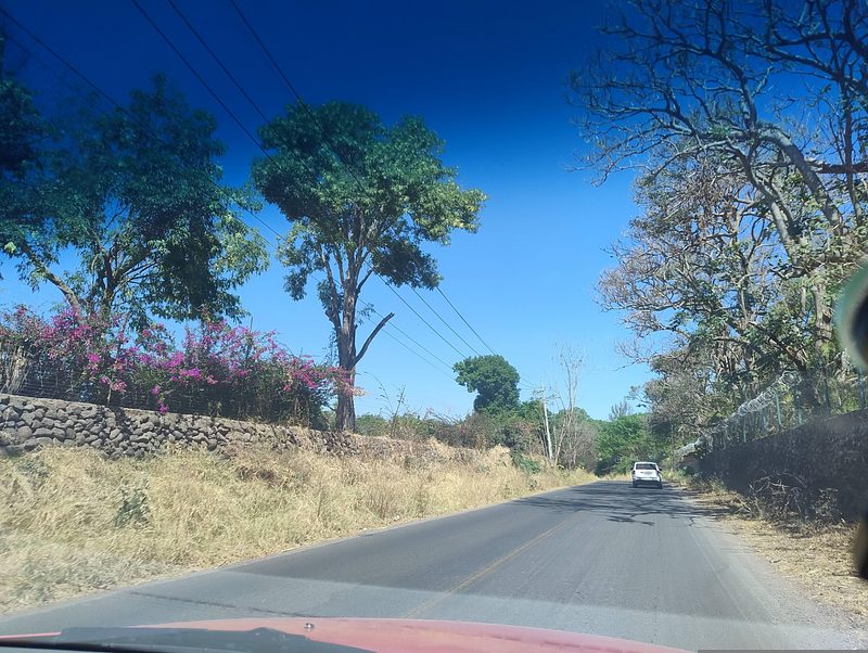



Drive times by road from OpenStreetMap, without traffic. Times marked ~ are estimated from the straight-line distance.
Location from OpenStreetMap. Written by Puebloteca.