

Village Atenguillo, Jalisco
Western Jalisco sierra seat at 1,307 m, with a neoclassical sanctuary and San Miguel festivities in September.
From Guadalajara: 2 h 20 min by car (150 km by road) How to get there ↓
Near here
See everything nearby ↓


Plan your visit to Atenguillo
Where to stay near Atenguillo
Compare hotels, posadas and guest houses in Atenguillo.
Tours to Atenguillo
Day trips and guided outings from San Sebastián del Oeste often include Atenguillo; with a local guide you can get there without a car.
 Tours from Puerto Vallarta
Winner 2026 Downtown Vallarta Food Tour with Vallarta Food Tours
★ 5.0 (3,971) · From US$59
How to get to Atenguillo
- From Guadalajara: about 2 h 20 min by road (~150 km)
- Nearest airport: Puerto Vallarta (PVR), 3 h 12 min by car to San Sebastián del Oeste
Links open a partner site. We may earn a commission if you book, at no cost to you.
Tours from Puerto Vallarta, near Atenguillo


Tours, prices and ratings from Viator, checked weekly. We may earn a commission if you book.
About Atenguillo
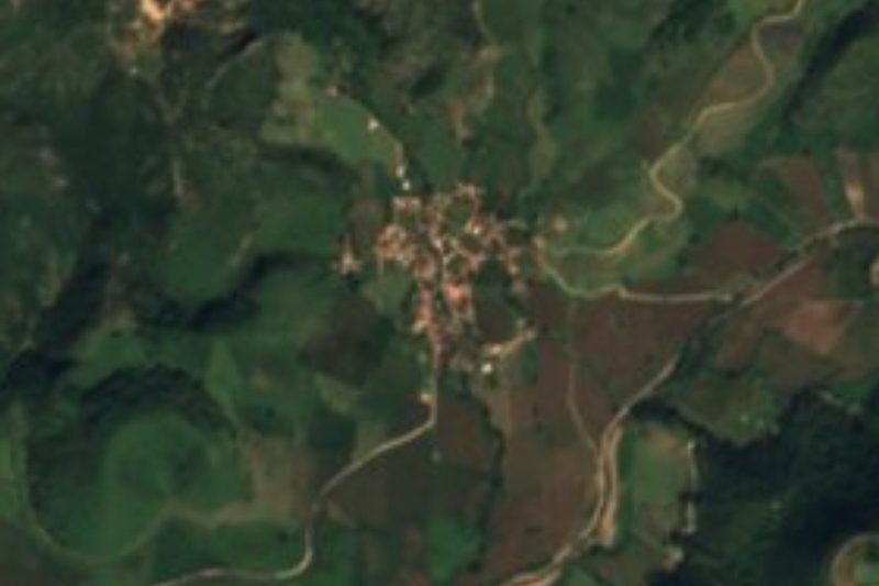
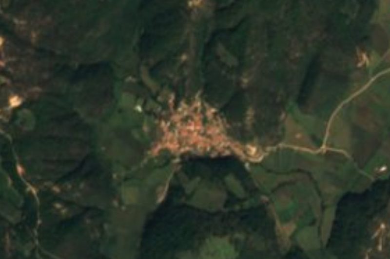
Atenguillo is the seat of the municipality of the same name, in the Costa-Sierra Occidental region of Jalisco, at 1,307 metres above sea level. The name is a diminutive of Atengo, "at the water's edge", from Nahuatl atl, water, tentli, lip, and co, place. At the 2020 census the town had 1,589 people, 38% of the municipality's 4,176; the other large locality is Los Volcanes, with 1,016.
The area belonged to the old kingdom of Xalisco and its people spoke Cuyateca. After the conquest of 1535, Atenguillo fell within the Tenamaxtlán encomienda, which covered the town of that name and sixteen outlying estancias. In the 18th century it was a visiting town under the district of Huachinango, and on 20 March 1885 a decree made it a municipality.
The plaza holds the main sights. The neoclassical Santuario del Cristo del Señor de la Misericordia keeps a Christ sculpture dated 1888 that, according to the EcuRed encyclopedia, was brought from Compostela, Nayarit. The Templo de San Miguel dates from the 19th century, and so does the plaza kiosk. The municipality lists the Salitre and Limón waterfalls and El Limón mountain. Local dishes include birria, pozole, mole, tamales and guava roll. The longest festivals are San Miguel Arcángel in late September and the Virgin of Guadalupe in December.
How to get to Atenguillo
Drive from Guadalajara: 2 h 20 min, 150 km
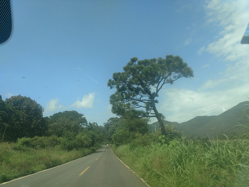
Atenguillo is in the western Jalisco sierra, about 28 km from San Sebastián del Oeste (approx., around 30 minutes) and about 80 km from Puerto Vallarta (approx., an hour and a half). Mascota is a neighbouring municipality to the north and west. The municipal encyclopedia names the Guadalajara-Ameca and Guadalajara-Barra de Navidad highways, plus rural roads, as the municipality's routes, and says travel is by public bus, rental car or private car. The state statistics institute counts 80.5 km of highway in the municipality, with medium connectivity, and no bus station. There are no published bus schedules for the town; ask at the Guadalajara or Mascota terminals.
Directions to Atenguillo on Google Maps
Distances are in a straight line; the road is usually longer.
Links open a partner site. We may earn a commission if you book, at no cost to you.
From the nearest cities to Atenguillo
- Guadalajara · 150 km by road, 2 h 20 min
- Tepic · about 170 km by road, ~2 h 30 min
- Ciudad Guzmán · about 175 km by road, ~2 h 35 min
Drive times by road from OpenStreetMap, without traffic or stops. Times marked ~ are estimated from the straight-line distance.
Before you go to Atenguillo: hours, prices and tips
- Best season
- San Miguel Arcángel, 21-29 September; Independence festivities, 13-16 September; Virgen de Guadalupe, 8-12 December; San Pablo charreada, 28 December-1 January. Wikipedia (Municipio de Atenguillo) · checked Oct 2026
Hours and prices change, especially around holidays. Each fact links to where we checked it.
Visiting Atenguillo: what to see and do
The neoclassical Santuario del Cristo del Señor de la Misericordia, with its 1888 Christ sculpture.
The 19th-century Templo de San Miguel.
The plaza kiosk, also 19th century.
The Salitre and Limón waterfalls, in the municipality.
The San Miguel Arcángel festivities, 21-29 September.
Plan your trip
Places to stay in Atenguillo
Compare hotels, posadas, and rentals in and around Atenguillo.
Tours & activities
Day trips and guided outings from San Sebastián del Oeste often include Atenguillo; with a local guide you can get there without a car.
Rental cars
Pick up a car at PVR (Puerto Vallarta): about 3 h 12 min by road to San Sebastián del Oeste, then 28 km more to Atenguillo, on your own schedule.
Flights
The nearest airport with scheduled flights is Puerto Vallarta (PVR), about 3 h 12 min by road from San Sebastián del Oeste, the base for Atenguillo.
Mobile data
Signal can drop away from San Sebastián del Oeste: download a map of the way to Atenguillo before you set out, or carry an eSIM with data.
Links open a partner site. We may earn a commission if you book, at no cost to you.
When to go to Atenguillo mild
Atenguillo shares the climate of San Sebastián del Oeste, 28 km away. The best months to visit are March, April, May, and November.
See the month-by-month climate of San Sebastián del Oeste
Weather in Atenguillo now and the next 7 days
Live forecast from Open-Meteo. Chance of rain is the day's highest.
The closest Pueblo Mágico: San Sebastián del Oeste

San Sebastián del Oeste is the Pueblo Mágico closest to Atenguillo, with places to stay, food, and more to see.
Also close to
- Mascota · Jalisco · 33 km away
- Talpa de Allende · Jalisco · 35 km away
- Amatlán de Cañas · Nayarit · 44 km away
- Ixtlán del Río · Nayarit · 69 km away
- Cocula · Jalisco · 70 km away
Closest to Atenguillo
-
Mirador del Espinazo del Diablo · Viewpoint · 8 km away
-
Mixtlán · Village · 9 km away
-
Guachinango · Village · 21 km away
-
Cuautla · Village · 25 km away
-
Cimarrón Chico de la Raicilla · Town · 26 km away
-
Navidad · Town · 26 km away
-
Ermita de San Rafael · Landmark · 30 km away
-
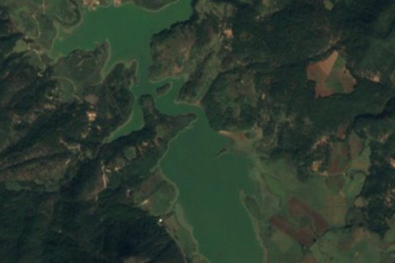
Presa Corrinchis · Lake · 30 km away
Near Atenguillo


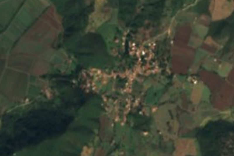

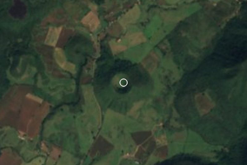



Drive times by road from OpenStreetMap, without traffic. Times marked ~ are estimated from the straight-line distance.
Location from OpenStreetMap. Written by Puebloteca.