Town Tecolotlán, Jalisco
A Sierra de Amula town, the "place of owls", below Cerro del Picacho; 55 minutes from the Pueblo Mágico of Cocula.
From Autlán: about 1 h 5 min by road (~75 km) How to get there ↓
Near here
See everything nearby ↓


Plan your visit to Tecolotlán
Where to stay near Tecolotlán
Compare hotels, posadas and guest houses in Tecolotlán.
Tours to Tecolotlán
Day trips around Cocula sometimes stop in Tecolotlán; a tour is the easy way to see it without a car.
 Tours from Guadalajara
Full Day Tour to Tequila and Amatitán with Fun and Culture
★ 4.9 (751) · From US$44
How to get to Tecolotlán
- From Autlán: about 1 h 5 min by road (~75 km)
- Nearest airport: Guadalajara (GDL), 1 h 14 min by car to Cocula
Links open a partner site. We may earn a commission if you book, at no cost to you.
Tours from Guadalajara, near Tecolotlán


Tours, prices and ratings from Viator, checked weekly. We may earn a commission if you book.
About Tecolotlán
Tecolotlán is the seat of its municipality in the Sierra de Amula region of west-central Jalisco, at 1,285 metres. The town had 9,668 people in 2020 and the municipality 16,603. The name comes from Nahuatl tecolotl, owl, and tlan, place: "where owls abound".
West of town rises Cerro del Picacho, where tradition and a few remains place the first settlement, called Los Tecolotes. The area belonged to the province of Tenamaxtlán; Francisco Cortés de San Buenaventura conquered it in 1524 and is credited with founding the town, which got its own council on April 8, 1844. Justino Merino, born here, raised the Libres de Tecolotlán battalion against the French Intervention: in November 1866, with some 300 men, he met Berthelin's column out of Colima at El Guayabo, and after two hours of fighting Berthelin and his officers were dead.
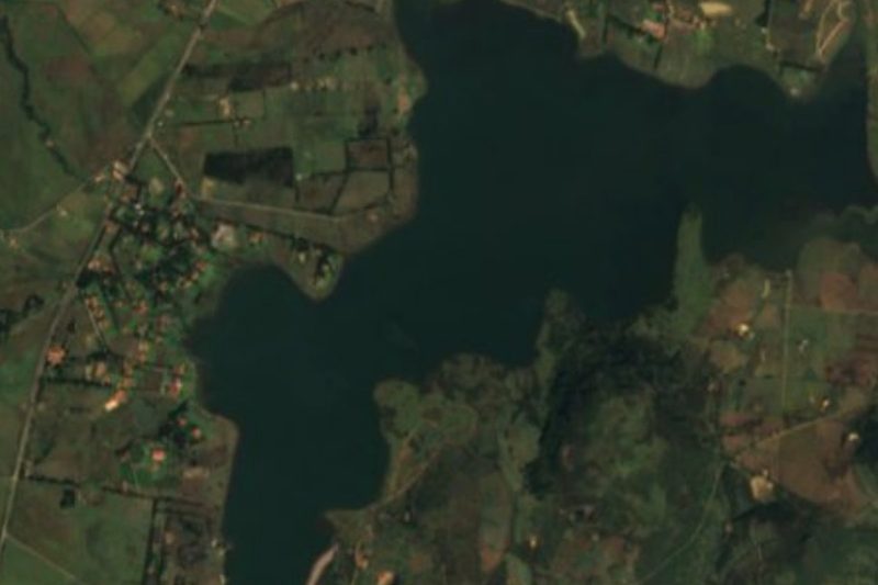
The climate is semi-dry, averaging 23 °C, with rain in June and July. The higher ground carries pine, oak and fir, with peach, guava and pingüica among the fruit trees. Water comes from the Ferrería river, springs such as La Ciénaga and Agua Caliente, and to the south the San Pedro (El Pochote) dam at San Buenaventura.
How to get to Tecolotlán
Tecolotlán lies between Cocula and Autlán in the Sierra de Amula. The nearest Pueblo Mágico is Cocula, 55 minutes away by car (42 km by road). From Autlán it is 1 h 40 min (82 km by road).
Directions to Tecolotlán on Google Maps
Distances are in a straight line; the road is usually longer.
Links open a partner site. We may earn a commission if you book, at no cost to you.
From the nearest cities to Tecolotlán
- Autlán · about 75 km by road, ~1 h 5 min
- Ciudad Guzmán · about 110 km by road, ~1 h 35 min
- Guadalajara · about 120 km by road, ~1 h 45 min
Drive times by road from OpenStreetMap, without traffic or stops. Times marked ~ are estimated from the straight-line distance.
Visiting Tecolotlán: what to see and do
See Cerro del Picacho to the west, site of the first settlement of Los Tecolotes.
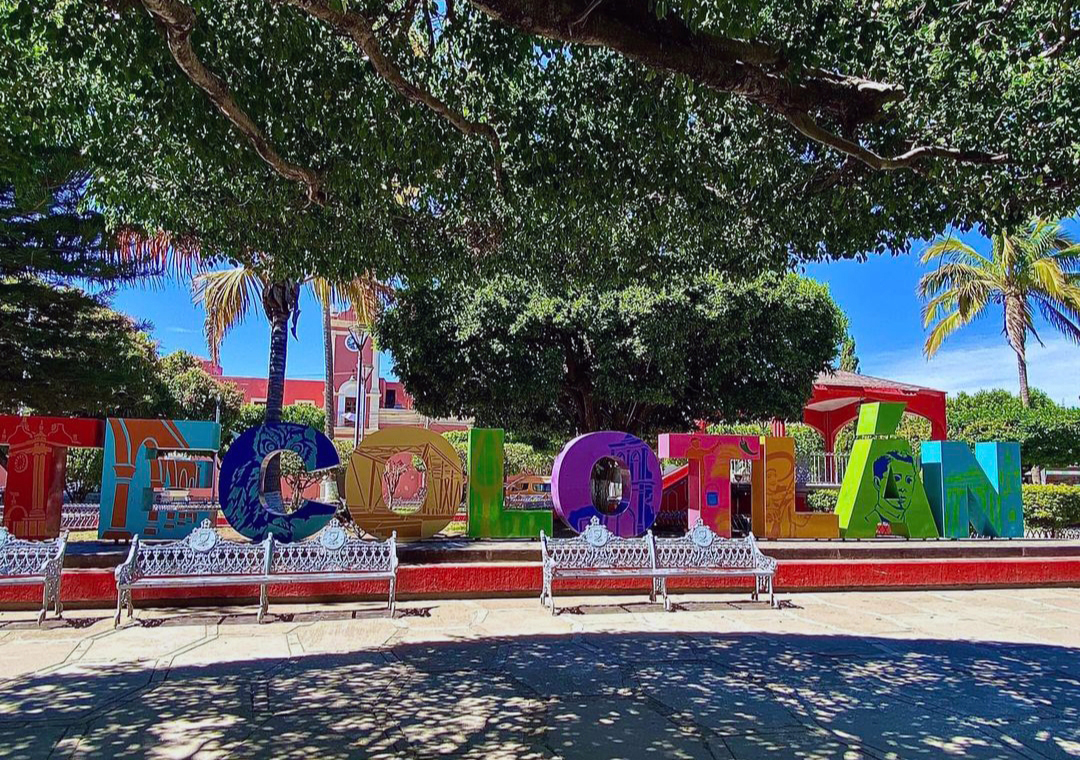
Walk the square and centre of town.
Head out to the La Ciénaga and Agua Caliente springs.
Visit the San Pedro (El Pochote) dam at San Buenaventura, south of town.
Plan your trip
Places to stay in Tecolotlán
Compare hotels, posadas, and rentals in and around Tecolotlán.
Tours & activities
Day trips around Cocula sometimes stop in Tecolotlán; a tour is the easy way to see it without a car.
Rental cars
Pick up a car at GDL (Guadalajara): about 1 h 14 min by road to Cocula, then 30 km more to Tecolotlán, on your own schedule.
Flights
The nearest airport with scheduled flights is Guadalajara (GDL), about 1 h 14 min by road from Cocula, the base for Tecolotlán.
Mobile data
Signal can drop away from Cocula: download a map of the way to Tecolotlán before you set out, or carry an eSIM with data.
Links open a partner site. We may earn a commission if you book, at no cost to you.
When to go to Tecolotlán mild
Tecolotlán shares the climate of Cocula, 30 km away. The best months to visit are January, February, November, and December.
See the month-by-month climate of Cocula
Weather in Tecolotlán now and the next 7 days
Live forecast from Open-Meteo. Chance of rain is the day's highest.
The closest Pueblo Mágico: Cocula

Cocula is the Pueblo Mágico closest to Tecolotlán, with places to stay, food, and more to see.
Also close to
- Tapalpa · Jalisco · 42 km away
- Sayula · Jalisco · 59 km away
- San Sebastián del Oeste · Jalisco · 75 km away
- Amatlán de Cañas · Nayarit · 79 km away
- Tequila · Jalisco · 79 km away
Closest to Tecolotlán
-
Tamazulita · Village · 8 km away
-
Tenamaxtlán · Town · 12 km away
-
Atengo · Village · 21 km away
-
Chiquilistlán · Town · 23 km away
-
San Martín Hidalgo · Town · 29 km away
-
Hacienda San Diego · Landmark · 30 km away
-
Ayutla · Town · 32 km away
-
Atemajac de Brizuela · Town · 34 km away


Near Tecolotlán





Drive times by road from OpenStreetMap, without traffic. Times marked ~ are estimated from the straight-line distance.
Location from OpenStreetMap. Written by Puebloteca.