
Village Zacoalco de Torres, Jalisco
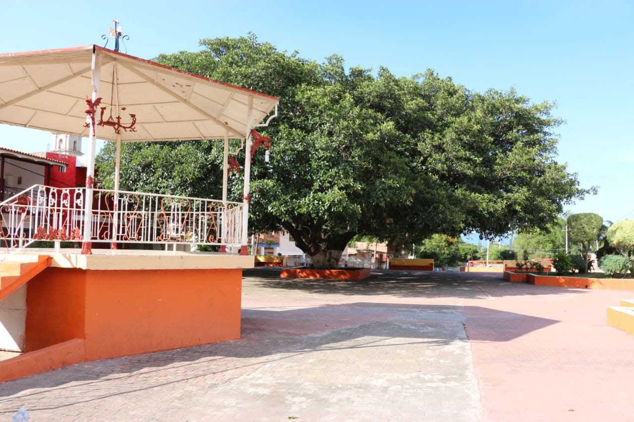
Village between two hills with a 1902 Franciscan-style church, a plaza with a century-old zalate tree and a Santa Clara fiesta in August.
From Guadalajara: 1 h 5 min by car (67 km by road) How to get there ↓
Near here
See everything nearby ↓


Plan your visit to Barranca de Santa Clara
Where to stay near Barranca de Santa Clara
Compare hotels, posadas and guest houses in Barranca de Santa Clara.
Tours to Barranca de Santa Clara
Day trips and guided outings from Cocula often include Barranca de Santa Clara; with a local guide you can get there without a car.
How to get to Barranca de Santa Clara
- From Guadalajara: about 1 h 5 min by road (~67 km)
- Nearest airport: Guadalajara (GDL), 1 h 14 min by car to Cocula
Links open a partner site. We may earn a commission if you book, at no cost to you.
About Barranca de Santa Clara
Barranca de Santa Clara is a village in the municipality of Zacoalco de Torres, at about 1,500 metres above sea level, named for its patron saint, Santa Clara de Asís, and for its position between two hills. It is thought to have been founded in the 18th century, though the exact date is unknown. A fire destroyed many early civil records; the oldest surviving birth entry is from January 1881. According to Wikipedia it had 957 inhabitants at the 2010 census. The first car in the village belonged to Gilberto Beas, when there were still no roads for vehicles; the post office arrived in the 1920s and the telephone in the 1980s.
The church of Santa Clara de Asís, in Franciscan Baroque style and built of quarry stone, has a single nave and a tower on the east side; it was finished in 1902 and stands on Calle Hidalgo, one block from the main plaza. Bands play in the plaza during the August fiestas, and the community is identified with El Zalate, a tree over a hundred years old. In the rainy season the Santa Clara stream, also called El Plátano, El Aguacate or El Manantial, runs through the village and empties into the Zacoalco lagoon. From Cerro El Picacho there is a panoramic view of the village.
The biggest fiestas are the Virgen de la Candelaria, from late January to 2 February, with a bullfighting fair at the lienzo charro, and Santa Clara, with a novena, floats and bands, ending on 12 August. Holy Week brings a Palm Sunday procession and a Good Friday Via Crucis. Celebrations feature birria, pozole, frijoles puercos and tamales. The economy rests on farming, livestock, construction and commerce, with remittances playing a major role.
How to get to Barranca de Santa Clara
Drive from Guadalajara: 1 h 5 min, 67 km
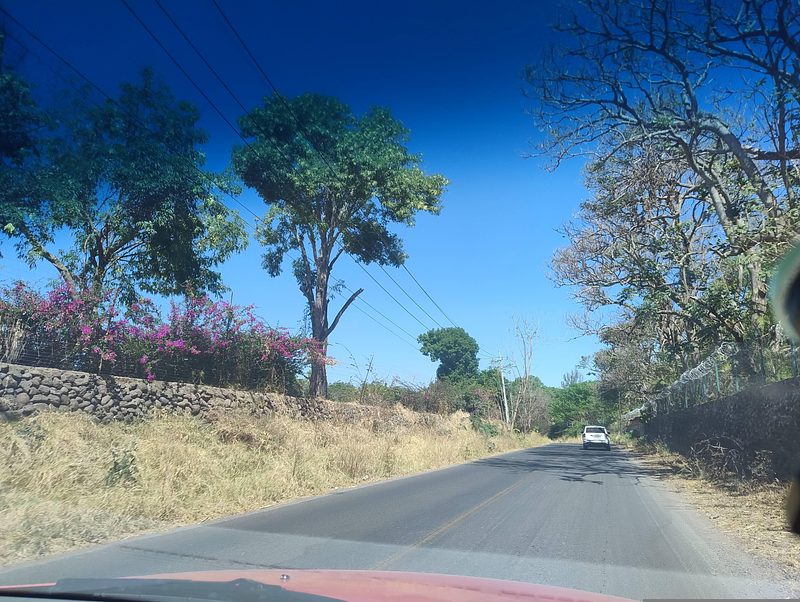
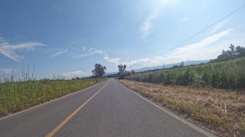
Barranca de Santa Clara lies at kilometre 7 of the Zacoalco-Atemajac de Brizuela highway, so the way in is from Zacoalco de Torres, the municipal seat. From Cocula, the nearest Pueblo Mágico, it is about 22 km (roughly 25 minutes) and from Guadalajara about 56 km (around 1 hour 5 minutes by car). There are no published bus or colectivo schedules to the village; the usual approach is to reach Zacoalco de Torres and ask there about local transport.
Directions to Barranca de Santa Clara on Google Maps
Distances are in a straight line; the road is usually longer.
Links open a partner site. We may earn a commission if you book, at no cost to you.
From the nearest cities to Barranca de Santa Clara
- Guadalajara · 67 km by road, 1 h 5 min
- Ciudad Guzmán · 82 km by road, 1 h 15 min
- Ocotlán · 116 km by road, 1 h 40 min
Drive times by road from OpenStreetMap, without traffic or stops. Times marked ~ are estimated from the straight-line distance.
Before you go to Barranca de Santa Clara: hours, prices and tips
- Best season
- Candelaria: late January to 2 February; Santa Clara de Asís: novena ending 12 August; Virgen de Guadalupe on 12 December. Wikipedia · checked Oct 2026
Hours and prices change, especially around holidays. Each fact links to where we checked it.
Visiting Barranca de Santa Clara: what to see and do
The church of Santa Clara de Asís (1902) on Calle Hidalgo
The main plaza and El Zalate, the century-old tree
Cerro El Picacho, with a view over the village
The Santa Clara stream in the rainy season
The lienzo charro, venue of the February bullfighting fair
Plan your trip
Places to stay in Barranca de Santa Clara
Compare hotels, posadas, and rentals in and around Barranca de Santa Clara.
Tours & activities
Day trips and guided outings from Cocula often include Barranca de Santa Clara; with a local guide you can get there without a car.
Rental cars
Pick up a car at GDL (Guadalajara): about 1 h 14 min by road to Cocula, then 22 km more to Barranca de Santa Clara, on your own schedule.
Flights
The nearest airport with scheduled flights is Guadalajara (GDL), about 1 h 14 min by road from Cocula, the base for Barranca de Santa Clara.
Mobile data
Signal can drop away from Cocula: download a map of the way to Barranca de Santa Clara before you set out, or carry an eSIM with data.
Links open a partner site. We may earn a commission if you book, at no cost to you.
When to go to Barranca de Santa Clara mild
Barranca de Santa Clara shares the climate of Cocula, 22 km away. The best months to visit are January, February, November, and December.
See the month-by-month climate of Cocula
Weather in Barranca de Santa Clara now and the next 7 days
Live forecast from Open-Meteo. Chance of rain is the day's highest.
The closest Pueblo Mágico: Cocula

Cocula is the Pueblo Mágico closest to Barranca de Santa Clara, with places to stay, food, and more to see.
Also close to
- Tapalpa · Jalisco · 37 km away
- Ajijic · Jalisco · 41 km away
- Sayula · Jalisco · 42 km away
- Tlaquepaque · Jalisco · 55 km away
- Tequila · Jalisco · 72 km away
Closest to Barranca de Santa Clara
-
Atotonilco el Bajo · Village · 10 km away
-
Estipac · Village · 14 km away
-
Atemajac de Brizuela · Town · 15 km away
-
Villa Corona · Hot springs · 18 km away
-
Acatlán de Juárez · Town · 19 km away
-
Hacienda San Diego · Landmark · 19 km away
-
Ferrería de Tula · Landmark · 23 km away
-
Jocotepec · Town · 23 km away


Near Barranca de Santa Clara




Drive times by road from OpenStreetMap, without traffic. Times marked ~ are estimated from the straight-line distance.
Location from OpenStreetMap. Written by Puebloteca.