Village Villa Corona, Jalisco Municipality of Villa Corona
Lakeside town with warm tap water, thermal balnearios, 17th-century churches and a diatomite pit.
From Guadalajara: 1 h by car (63 km by road) How to get there ↓
Near here
See everything nearby ↓


Plan your visit to Atotonilco el Bajo
Where to stay near Atotonilco el Bajo
Compare hotels, posadas and guest houses in Atotonilco el Bajo.
Tours to Atotonilco el Bajo
Day trips and guided outings from Cocula often include Atotonilco el Bajo; with a local guide you can get there without a car.
 Tours from Guadalajara
Full Day Tour to Tequila and Amatitán with Fun and Culture
★ 4.9 (751) · From US$44
How to get to Atotonilco el Bajo
- From Guadalajara: about 1 h by road (~63 km)
- Nearest airport: Guadalajara (GDL), 1 h 14 min by car to Cocula
Links open a partner site. We may earn a commission if you book, at no cost to you.
Tours from Guadalajara, near Atotonilco el Bajo


Tours, prices and ratings from Viator, checked weekly. We may earn a commission if you book.
About Atotonilco el Bajo
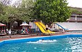
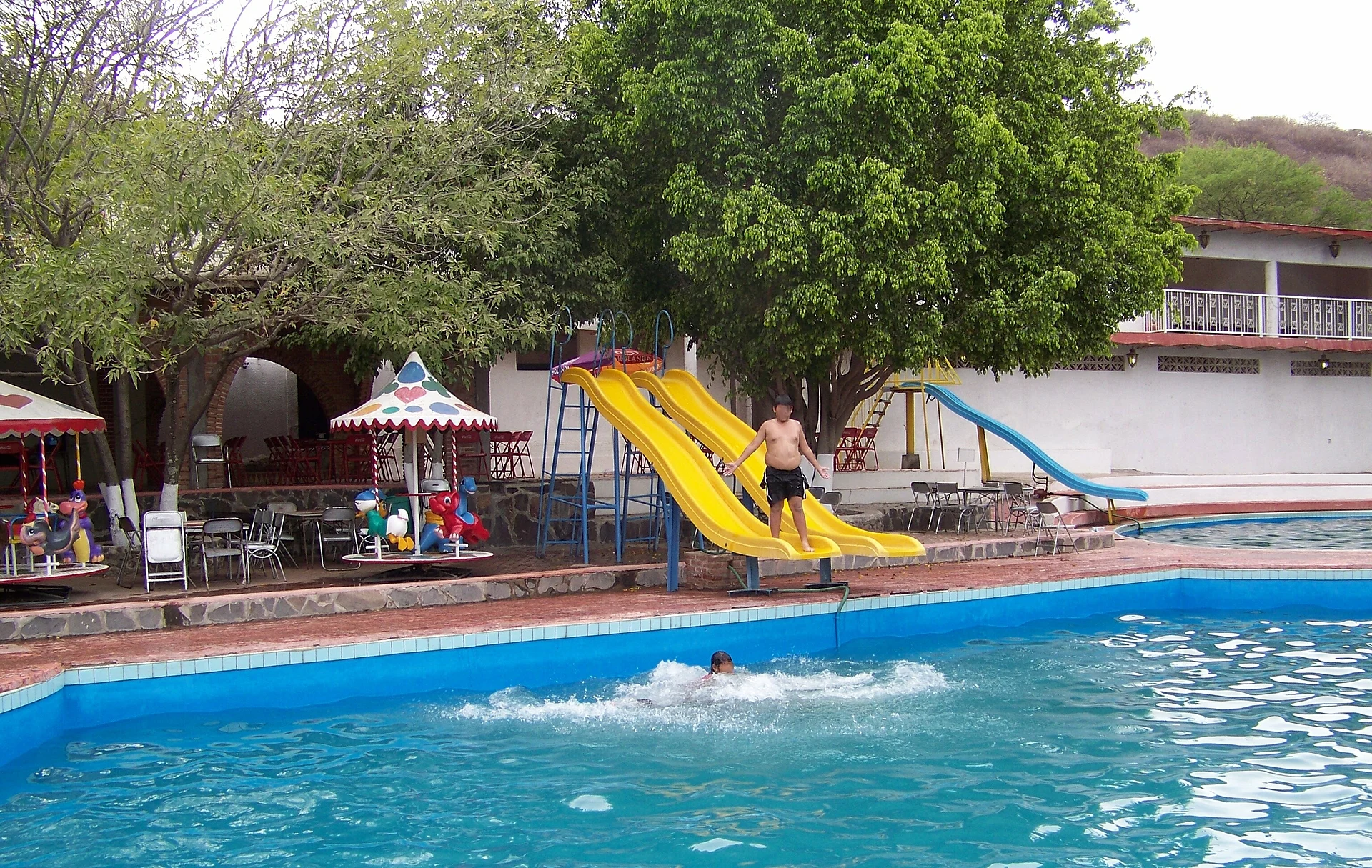
Atotonilco el Bajo is one of the main delegations of Villa Corona municipality and had 2,653 people at the 2020 census. It sits on the shore of the lake that bears its name, at roughly 1,357 metres, about 60 km from Guadalajara. The name is explained from Nahuatl as "place of hot water": the tap water in town comes out warm, and thermal balnearios around it, including Playa Sol and Vista Hermosa, fill up at Easter.
A 17th-century Franciscan complex is the oldest part. Only ruins remain of the San Andrés church, dated 1639. La Purísima Concepción, finished in 1704, was first built as a hospital for indigenous people; its baroque facade carries a sundial and reliefs of plants, animals and musicians. The present parish church, Sagrado Corazón, is neoclassical and was built between 1899 and 1912.
The farmland around is irrigated sugarcane, with maize, sorghum and greenhouse tomato and chile; there are also pitaya fruit and goats for birria. On the outskirts is an open-pit diatomite mine, called tizate locally, producing a very white, light powder. Festivals mark the year: at Easter the town builds the tendido de Cristo, a monumental altar of wood and branches, and on 8 December it honours the Purísima with wax processions, bands and floats.
How to get to Atotonilco el Bajo
Drive from Guadalajara: 1 h, 63 km
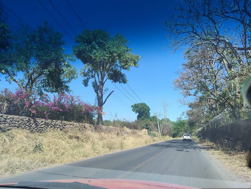
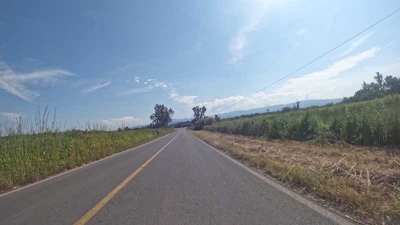
Atotonilco el Bajo is about 60 km from Guadalajara (approx., around an hour) and about 16 km from Cocula (approx., 20 minutes). It belongs to Villa Corona municipality. The municipal encyclopedia names the Guadalajara-Barra de Navidad highway as Villa Corona's main route, plus rural roads, and says public buses operate in the municipality. The road into Atotonilco el Bajo is paved. There are no published bus schedules to Atotonilco el Bajo.
Directions to Atotonilco el Bajo on Google Maps
Distances are in a straight line; the road is usually longer.
Links open a partner site. We may earn a commission if you book, at no cost to you.
From the nearest cities to Atotonilco el Bajo
- Guadalajara · 63 km by road, 1 h
- Ciudad Guzmán · 86 km by road, 1 h 20 min
- Ocotlán · 113 km by road, 1 h 35 min
Drive times by road from OpenStreetMap, without traffic or stops. Times marked ~ are estimated from the straight-line distance.
Before you go to Atotonilco el Bajo: hours, prices and tips
- Best season
- Holy Week, with the tendido de Cristo and the silent march on Good Friday; Sagrado Corazón, a Friday in June; Independence festivities, 13-16 September; Purísima, 8 December (events from 19 November); Virgen de Guadalupe, 12 December. Wikipedia (Atotonilco el Bajo; Municipio de Villa Corona) · checked Oct 2026
Hours and prices change, especially around holidays. Each fact links to where we checked it.
Visiting Atotonilco el Bajo: what to see and do
The Purísima Concepción church, 1704, with a sundial and reliefs on its facade.
The ruins of the San Andrés church, 1639.
The neoclassical Sagrado Corazón parish church.
The Atotonilco lagoon, on whose shore the town sits.
The thermal balnearios such as Playa Sol and Vista Hermosa.
The tizate diatomite pit on the outskirts.
Plan your trip
Places to stay in Atotonilco el Bajo
Compare hotels, posadas, and rentals in and around Atotonilco el Bajo.
Tours & activities
Day trips and guided outings from Cocula often include Atotonilco el Bajo; with a local guide you can get there without a car.
Rental cars
Pick up a car at GDL (Guadalajara): about 1 h 14 min by road to Cocula, then 16 km more to Atotonilco el Bajo, on your own schedule.
Flights
The nearest airport with scheduled flights is Guadalajara (GDL), about 1 h 14 min by road from Cocula, the base for Atotonilco el Bajo.
Mobile data
Signal can drop away from Cocula: download a map of the way to Atotonilco el Bajo before you set out, or carry an eSIM with data.
Links open a partner site. We may earn a commission if you book, at no cost to you.
When to go to Atotonilco el Bajo mild
Atotonilco el Bajo shares the climate of Cocula, 16 km away. The best months to visit are January, February, November, and December.
See the month-by-month climate of Cocula
Weather in Atotonilco el Bajo now and the next 7 days
Live forecast from Open-Meteo. Chance of rain is the day's highest.
The closest Pueblo Mágico: Cocula

Cocula is the Pueblo Mágico closest to Atotonilco el Bajo, with places to stay, food, and more to see.
Also close to
- Ajijic · Jalisco · 43 km away
- Tapalpa · Jalisco · 46 km away
- Tlaquepaque · Jalisco · 50 km away
- Sayula · Jalisco · 52 km away
- Tequila · Jalisco · 62 km away
Closest to Atotonilco el Bajo
-
Estipac · Village · 6 km away
-
Villa Corona · Hot springs · 8 km away
-
Barranca de Santa Clara · Village · 10 km away
-
Acatlán de Juárez · Town · 12 km away
-
Hacienda San Diego · Landmark · 14 km away
-
Hacienda La Sauceda · Landmark · 18 km away
-
Atemajac de Brizuela · Town · 24 km away
-
Jocotepec · Town · 26 km away


Near Atotonilco el Bajo


Drive times by road from OpenStreetMap, without traffic. Times marked ~ are estimated from the straight-line distance.
Location from OpenStreetMap. Written by Puebloteca.