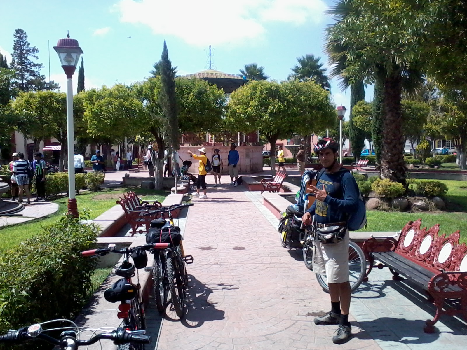
Town Venado, San Luis Potosí
Plateau town founded in 1591 by Tlaxcalan settlers beside Guachichil people, with a pink-sandstone Franciscan church and a December fair.
From San Luis Potosí: about 1 h 40 min by road (~115 km) How to get there ↓
Near here
See everything nearby ↓

Plan your visit to Venado
Where to stay near Venado
Compare hotels, posadas and guest houses in Venado.
Tours to Venado
Day trips around Pinos sometimes stop in Venado; a tour is the easy way to see it without a car.
 Tours from San Luis Potosi City
Xilitla Surrealistic Garden and Huahuas Abyss Tour
★ 4.9 (251) · From US$72
How to get to Venado
- From San Luis Potosí: about 1 h 40 min by road (~115 km)
- Nearest airport: San Luis Potosí (SLP), 1 h 35 min by car to Pinos
Links open a partner site. We may earn a commission if you book, at no cost to you.
Tours from San Luis Potosi City, near Venado


Tours, prices and ratings from Viator, checked weekly. We may earn a commission if you book.
About Venado
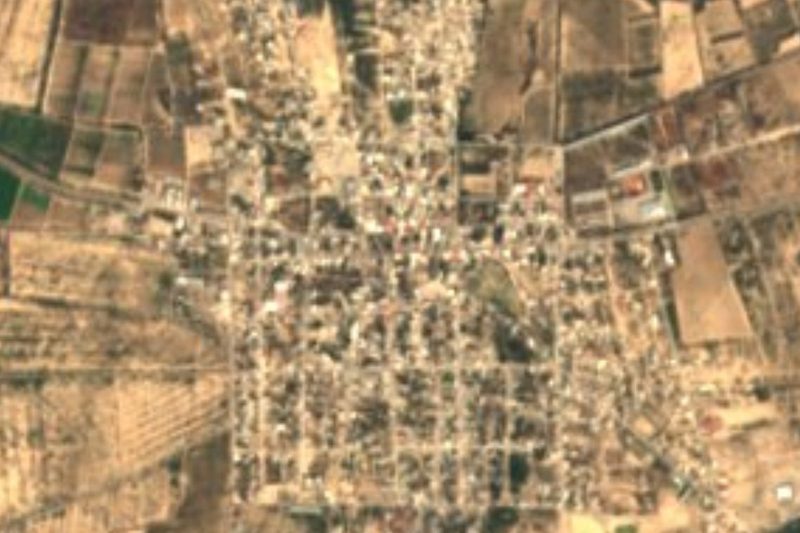
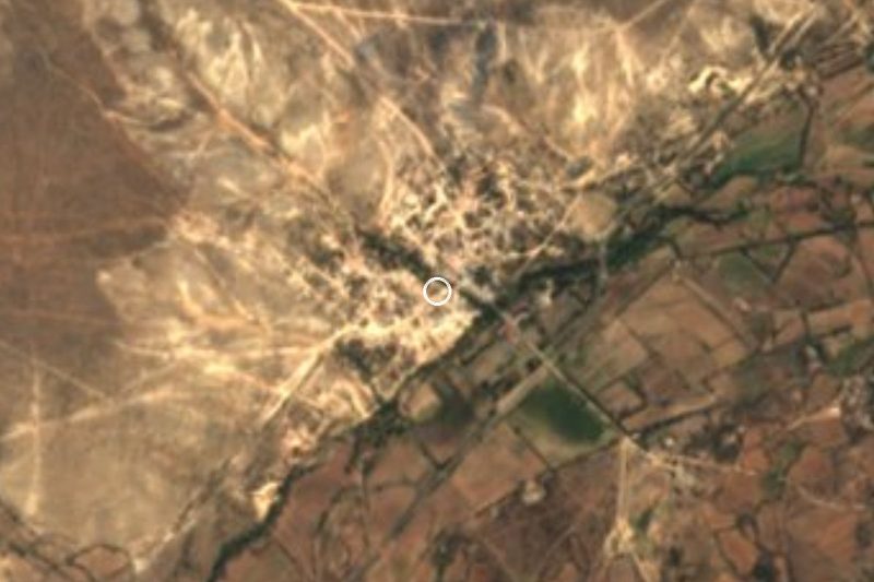
Venado sits at 1,790 metres on the San Luis Potosí plateau, on highway 63 as it heads on toward Charcas. About 6,400 people live in the town, the seat of a municipality of dry plains with the Sierra de Coronado, topping 2,600 metres, to the northeast.
The town grew out of a truce with the Guachichil people. Friar Diego de la Magdalena had already gathered them here beside a freshwater spring when, on 18 August 1591, part of the caravan of Tlaxcalan families that Viceroy Luis de Velasco sent north to teach farming settled alongside them. The place was named San Sebastián del Agua del Venado, and the Tlaxcalans called it Mazatepec, deer hill. A Franciscan friary stood here from 1593, the third in what is now the state, and in 2014 Venado became a sister town of Totolac in Tlaxcala.
Much of its later story is a long fight over land and water. In 1767 the town joined the riots against colonial officials, and José de Gálvez had gallows put up in the main square; the Crown only gave back its privileges in 1796. Miguel Hidalgo arrived on 1 February 1811 and spent three days in a house facing the old friary, even though the royalist Tamarindos battalion had been raised in this very town.
The landmark today is the Franciscan-built parish church, with a tall tower and a neoclassical front in pink sandstone. Local cooking runs to rabbit and red enchiladas, with mezcal, pulque and aguamiel, and people still weave henequen sacks and shoulder bags.
How to get to Venado
From the city of San Luis Potosí take federal highway 49 toward Zacatecas and, after about 26 km, federal highway 63 north through Ahualulco and Moctezuma to Venado; the whole way is paved highway. It is 1 h 45 min and 108 km by road from San Luis Potosí. Real de Catorce, the nearest Pueblo Mágico, is 1 h 45 min and 105 km away by road. We found no official published bus timetable to Venado; ask at the Central Terrestre Potosina bus station for services heading up the plateau via Moctezuma and Charcas.
Directions to Venado on Google Maps
Distances are in a straight line; the road is usually longer.
Links open a partner site. We may earn a commission if you book, at no cost to you.
From the nearest cities to Venado
- San Luis Potosí · about 115 km by road, ~1 h 40 min
- Matehuala · about 120 km by road, ~1 h 45 min
- Zacatecas · about 200 km by road, ~2 h 55 min
Drive times by road from OpenStreetMap, without traffic or stops. Times marked ~ are estimated from the straight-line distance.
Before you go to Venado: hours, prices and tips
- Best season
- Regional fair and feast of the Immaculate Conception from 1 to 8 December, with matlachines dancers on the 8th; in May the town honours the Holy Cross and the Señor de las Injurias. Enciclopedia de los Municipios de México (INAFED) · checked Oct 2026
Hours and prices change, especially around holidays. Each fact links to where we checked it.
Visiting Venado: what to see and do
The Franciscan parish church, with its tall tower and neoclassical pink-sandstone front
The chapels of San Diego, San Cayetano and the Señor de las Injurias
The old Guanamé hacienda, with a carved stone facade
El Sauco spring and the old aqueduct
The Siete Callejones, the town's seven lanes
The Ojo de Agua bathing spot
The regional fair (FEREVE), 1 to 8 December
Plan your trip
Places to stay in Venado
Compare hotels, posadas, and rentals in and around Venado.
Tours & activities
Day trips around Pinos sometimes stop in Venado; a tour is the easy way to see it without a car.
Rental cars
Pick up a car at SLP (San Luis Potosí): about 1 h 35 min by road to Pinos, then 86 km more to Venado, on your own schedule.
Flights
The nearest airport with scheduled flights is San Luis Potosí (SLP), about 1 h 35 min by road from Pinos, the base for Venado.
Mobile data
Signal can drop away from Pinos: download a map of the way to Venado before you set out, or carry an eSIM with data.
Links open a partner site. We may earn a commission if you book, at no cost to you.
When to go to Venado cool
Venado shares the climate of Pinos, 86 km away. The best months to visit are January, March, April, and November.
See the month-by-month climate of Pinos
Weather in Venado now and the next 7 days
Live forecast from Open-Meteo. Chance of rain is the day's highest.
The closest Pueblo Mágico: Pinos

Pinos is the Pueblo Mágico closest to Venado, with places to stay, food, and more to see.
Closest to Venado
-
Moctezuma · Town · 21 km away
-
Charcas · Town · 22 km away
-
Villa de Arista · Town · 41 km away
Near Venado

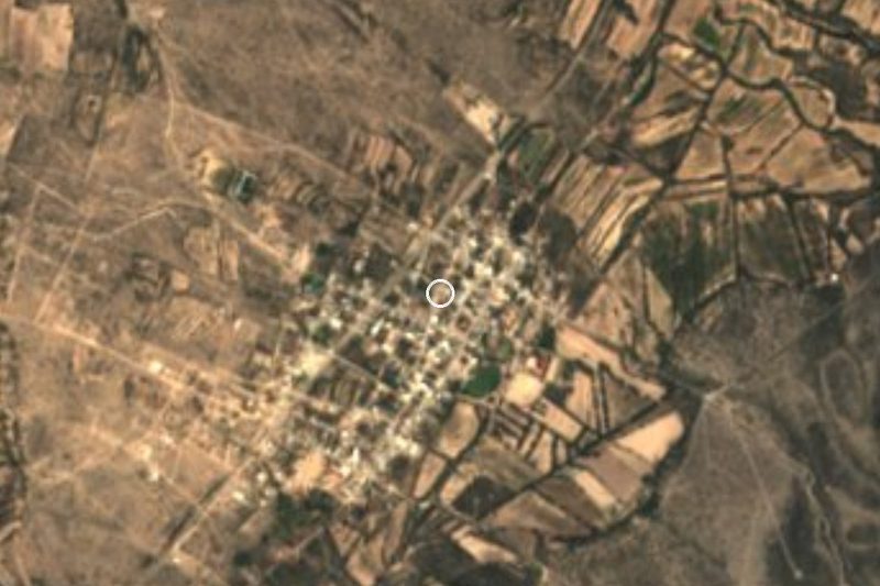



Drive times by road from OpenStreetMap, without traffic. Times marked ~ are estimated from the straight-line distance.
Location from OpenStreetMap. Written by Puebloteca.