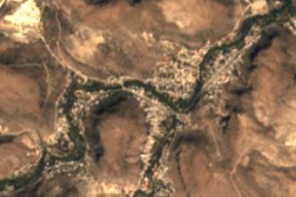
Town San Luis Potosí Municipality of San Luis Potosí
Stonecutters' ejido just west of San Luis Potosí city, where workshops line Highway 80 with carved cantera pieces for sale.
From San Luis Potosí: about 15 min by road (~15 km) How to get there ↓
Near here
See everything nearby ↓

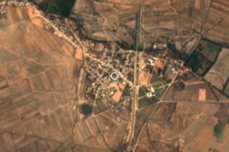
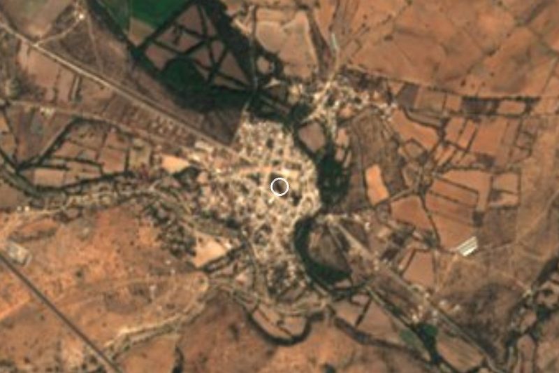


Plan your visit to Escalerillas
Where to stay near Escalerillas
Compare hotels, posadas and guest houses in Escalerillas.
Tours to Escalerillas
Day trips around Santa María del Río sometimes stop in Escalerillas; a tour is the easy way to see it without a car.
 Tours from San Luis Potosi City
Xilitla Surrealistic Garden and Huahuas Abyss Tour
★ 4.9 (251) · From US$72
How to get to Escalerillas
- From San Luis Potosí: about 15 min by road (~15 km)
- Nearest airport: San Luis Potosí (SLP), 57 min by car to Santa María del Río
Links open a partner site. We may earn a commission if you book, at no cost to you.
Tours from San Luis Potosi City, near Escalerillas


Tours, prices and ratings from Viator, checked weekly. We may earn a commission if you book.
About Escalerillas
Escalerillas makes its living from stone. It sits at the far western edge of the San Luis Potosí metro area, about 5 km past the built-up city on the road to Guadalajara and roughly 1,950 metres up, and its trade is cantería: carving stone for facades, fountains and ornaments, much of it for the state capital.
The ejido is a string of ranchos along federal Highway 80 between kilometres 7 and 15: Insurgentes, Mesa de Conejos, Pilitas, Escalerillas, Casa Blanca, La Maroma and Pozuelos. For decades the workshops have set their pieces out by the roadside, so drivers pull over to buy fountains, planters and figures, and over time private clients began ordering balconies and facade work.
Stonecutters from the ejido have worked on major jobs in the city: the Holy Family on the facade of the Lomas church, the old telegraph building, and paving stones for streets in the historic centre during its restoration. Families split the work, some carving ornaments and others making cornices and facade elements. Known workshops include Ramón Rivera Bravo's, mainly for carved pieces, and those of Felipe Moreno Galván and Juan José Moreno Bravo, who have worked on buildings in San Luis, Saltillo, Monterrey and Piedras Negras.
Settlement here goes back to land grants between 1603 and 1607, and the ejido itself dates from 5 July 1924, when its land was formally granted. Each year in early July the community marks the anniversary with the crowning of a queen, music and dances by local groups.
How to get to Escalerillas
From San Luis Potosí head west on federal Highway 80 towards Guadalajara; the ejido's ranchos appear between kilometres 7 and 15, and it can also be reached via federal Highway 70 towards Aguascalientes. Escalerillas is 15 min from San Luis Potosí, 16 km by road, and 55 min from Santa María del Río, 64 km. We found no published public-transport timetable; since it is so close to the capital, ask in the city about urban or suburban routes heading out on the Guadalajara road.
Directions to Escalerillas on Google Maps
Distances are in a straight line; the road is usually longer.
Links open a partner site. We may earn a commission if you book, at no cost to you.
From the nearest cities to Escalerillas
- San Luis Potosí · about 15 km by road, ~15 min
- San Luis de la Paz · about 140 km by road, ~2 h 5 min
- Dolores Hidalgo · about 140 km by road, ~2 h 5 min
Drive times by road from OpenStreetMap, without traffic or stops. Times marked ~ are estimated from the straight-line distance.
Before you go to Escalerillas: hours, prices and tips
- Best season
- The ejido's anniversary in early July (its land grant dates from 5 July 1924). Plano Informativo · checked Oct 2026
Hours and prices change, especially around holidays. Each fact links to where we checked it.
Visiting Escalerillas: what to see and do
Stone-carving workshops selling pieces along Highway 80, between km 7 and 15
The ejido's ranchos in a row: Insurgentes, Mesa de Conejos, Pilitas, Escalerillas, Casa Blanca, La Maroma and Pozuelos
The ejido's anniversary in early July, with a queen's crowning, music and dancing
Plan your trip
Places to stay in Escalerillas
Compare hotels, posadas, and rentals in and around Escalerillas.
Tours & activities
Day trips around Santa María del Río sometimes stop in Escalerillas; a tour is the easy way to see it without a car.
Rental cars
Pick up a car at SLP (San Luis Potosí): about 57 min by road to Santa María del Río, then 49 km more to Escalerillas, on your own schedule.
Flights
The nearest airport with scheduled flights is San Luis Potosí (SLP), about 57 min by road from Santa María del Río, the base for Escalerillas.
Mobile data
Signal can drop away from Santa María del Río: download a map of the way to Escalerillas before you set out, or carry an eSIM with data.
Links open a partner site. We may earn a commission if you book, at no cost to you.
When to go to Escalerillas mild
Escalerillas shares the climate of Santa María del Río, 49 km away. The best months to visit are January, February, March, and November.
See the month-by-month climate of Santa María del Río
Weather in Escalerillas now and the next 7 days
Live forecast from Open-Meteo. Chance of rain is the day's highest.
The closest Pueblo Mágico: Santa María del Río

Santa María del Río is the Pueblo Mágico closest to Escalerillas, with places to stay, food, and more to see.
Also close to
- Pinos · Zacatecas · 55 km away
- Tierranueva · San Luis Potosí · 69 km away
Closest to Escalerillas
-
San Luis Potosí · City · 11 km away
-
Barrio de Tlaxcala · Landmark · 12 km away
-
Hacienda Jesús María · Landmark · 27 km away
-
Hacienda de Bledos · Landmark · 30 km away
-
Ahualulco del Sonido 13 · Town · 34 km away
-
Villa de Zaragoza · Town · 36 km away
-
Villa de Reyes · Town · 37 km away
-
Villa de Arriaga · Town · 39 km away

Near Escalerillas

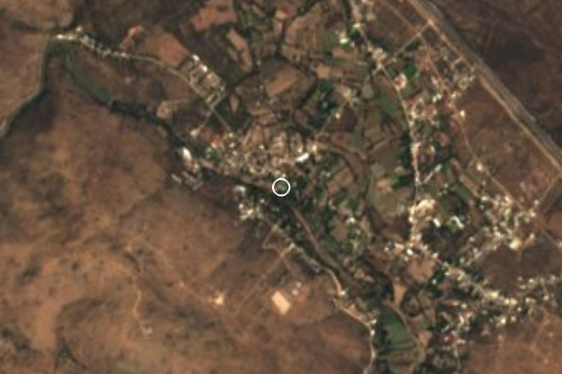





Drive times by road from OpenStreetMap, without traffic. Times marked ~ are estimated from the straight-line distance.
Location from OpenStreetMap. Written by Puebloteca.