Town Zaragoza, San Luis Potosí
Town at the foot of the Sierra de Álvarez, east of San Luis Potosí, known for ixtle weaving, the old La Sauceda hacienda and a June fair.
From San Luis Potosí: about 30 min by road (~35 km) How to get there ↓
Near here
See everything nearby ↓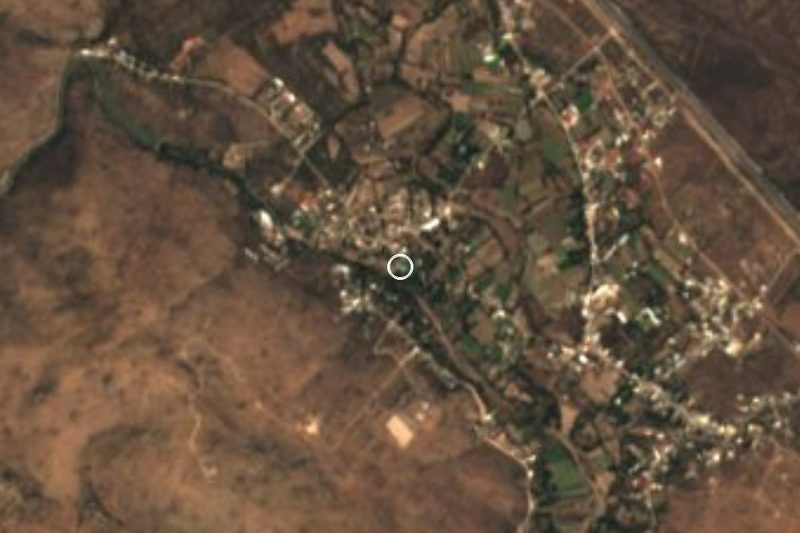


Plan your visit to Villa de Zaragoza
Where to stay near Villa de Zaragoza
Compare hotels, posadas and guest houses in Villa de Zaragoza.
Tours to Villa de Zaragoza
Day trips around Santa María del Río sometimes stop in Villa de Zaragoza; a tour is the easy way to see it without a car.
 Tours from San Luis Potosi City
Xilitla Surrealistic Garden and Huahuas Abyss Tour
★ 4.9 (251) · From US$72
How to get to Villa de Zaragoza
- From San Luis Potosí: about 30 min by road (~35 km)
- Nearest airport: San Luis Potosí (SLP), 57 min by car to Santa María del Río
Links open a partner site. We may earn a commission if you book, at no cost to you.
Tours from San Luis Potosi City, near Villa de Zaragoza


Tours, prices and ratings from Viator, checked weekly. We may earn a commission if you book.
About Villa de Zaragoza
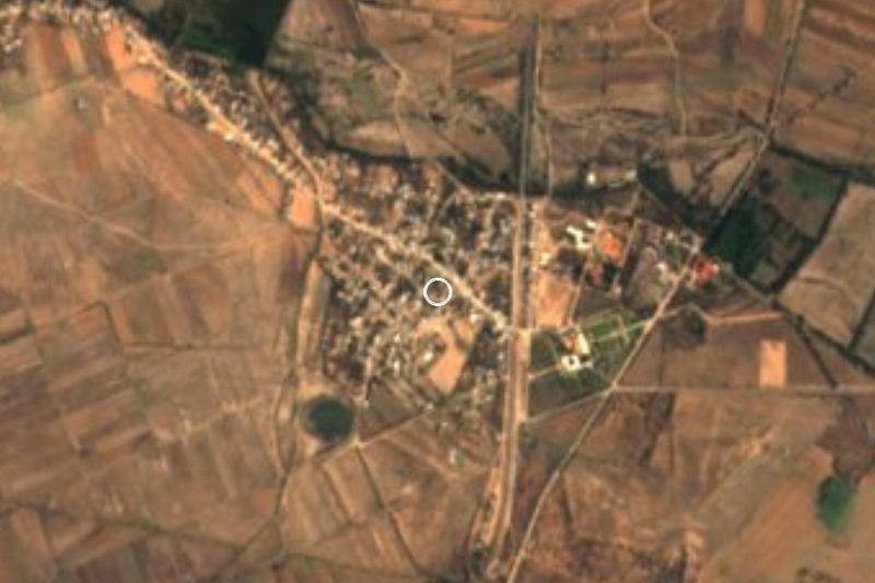
Villa de Zaragoza sits half an hour east of the city of San Luis Potosí, at roughly 1,970 metres, where the plain begins to climb toward the Sierra de Álvarez. It is the seat of Zaragoza municipality, home to around 11,000 people, in the middle of a shift from rural to urban life.
Its old name was San José de la Carrera, from the passenger stagecoaches that used to come through. In 1882 Governor Pedro Diez Gutiérrez carved the municipality out of Villa de Pozos, made the town its seat and renamed it after General Ignacio Zaragoza. Earlier the land belonged to Chichimec peoples and then to Spanish landholders; the La Sauceda hacienda goes back to 1610 and still has a mezcal works and a small chapel to Saint Anthony.
Zaragoza is best known for ixtle, the agave fibre woven here by hand into rope, sacks, rugs, bags and mesh, along with macramé hammocks and plant hangers. Typical food is barbacoa, carnitas, pork crackling and oven-baked gorditas, with melcocha taffy, cheese and prickly-pear syrup for something sweet, and pulque, aguamiel, colonche and mezcal to drink. Fluorite mining, farming and livestock keep the local economy going.
The Sierra de Álvarez, protected as a forest reserve since 1981, is covered in desert scrub, prickly pear, yucca and maguey. Up there is a sinkhole called El Cárcamo de San Francisco, where a stream drops into a shaft about five metres wide and hundreds of metres deep.
How to get to Villa de Zaragoza
From the city of San Luis Potosí, head east on federal highway 70, the road to Ciudad Valles, and after about 23 km turn onto paved state road 22 (Santo Domingo-Zaragoza), which reaches the town 6 or 7 km later. The drive is 35 min and 33 km by road from the state capital, and 40 min and 37 km from Santa María del Río, the nearest Pueblo Mágico. We found no published bus timetable to Villa de Zaragoza; since it is so close to the capital, ask at the Terminal Terrestre Potosina or at the stops on the Rioverde road about suburban buses, or take a taxi.
Directions to Villa de Zaragoza on Google Maps
Distances are in a straight line; the road is usually longer.
Links open a partner site. We may earn a commission if you book, at no cost to you.
From the nearest cities to Villa de Zaragoza
- San Luis Potosí · about 35 km by road, ~30 min
- Rioverde · about 100 km by road, ~1 h 30 min
- San Luis de la Paz · about 110 km by road, ~1 h 40 min
Drive times by road from OpenStreetMap, without traffic or stops. Times marked ~ are estimated from the straight-line distance.
Before you go to Villa de Zaragoza: hours, prices and tips
- Best season
- Saint Joseph's day on 19 March; the regional fiesta of Saint Anthony of Padua from 4 to 13 June, with the Zaragoza regional fair (FEREZA) on 13 June and pilgrimages; the Virgin of Guadalupe from 3 to 12 December. Wikipedia (es), Villa de Zaragoza; CEFIM San Luis Potosí · checked Oct 2026
Hours and prices change, especially around holidays. Each fact links to where we checked it.
Visiting Villa de Zaragoza: what to see and do
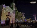
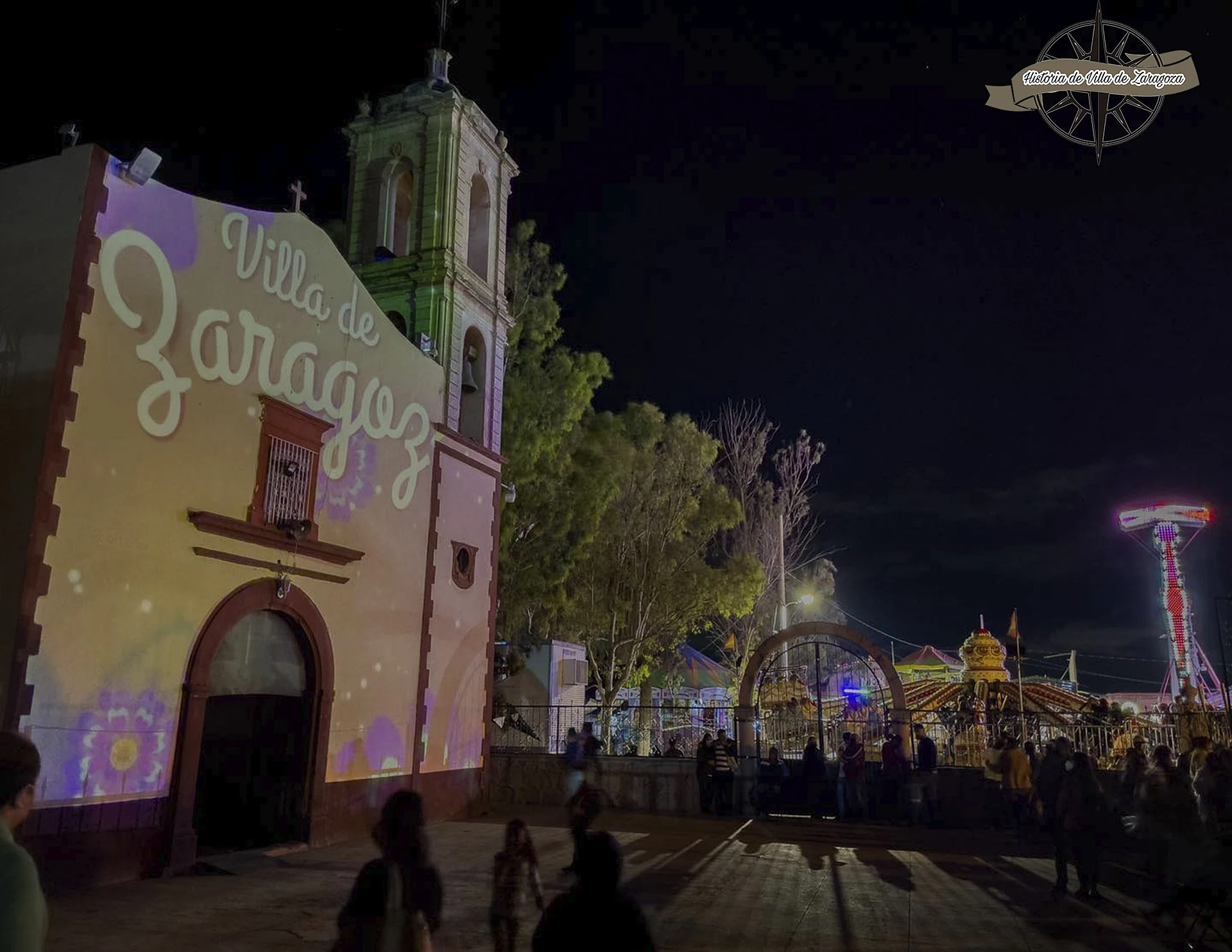
The church of San José in the town centre
The La Sauceda hacienda (1610), with its mezcal works and the chapel of San Antonio de Padua
Hand-woven ixtle crafts: bags, sacks, rope and rugs
The Sierra de Álvarez, a protected forest zone since 1981
El Cárcamo de San Francisco, a sinkhole in the sierra where a stream vanishes underground
The Valle de los Fantasmas and the La Parroquia nature park
Plan your trip
Places to stay in Villa de Zaragoza
Compare hotels, posadas, and rentals in and around Villa de Zaragoza.
Tours & activities
Day trips around Santa María del Río sometimes stop in Villa de Zaragoza; a tour is the easy way to see it without a car.
Rental cars
Pick up a car at SLP (San Luis Potosí): about 57 min by road to Santa María del Río, then 26 km more to Villa de Zaragoza, on your own schedule.
Flights
The nearest airport with scheduled flights is San Luis Potosí (SLP), about 57 min by road from Santa María del Río, the base for Villa de Zaragoza.
Mobile data
Signal can drop away from Santa María del Río: download a map of the way to Villa de Zaragoza before you set out, or carry an eSIM with data.
Links open a partner site. We may earn a commission if you book, at no cost to you.
When to go to Villa de Zaragoza mild
Villa de Zaragoza shares the climate of Santa María del Río, 26 km away. The best months to visit are January, February, March, and November.
See the month-by-month climate of Santa María del Río
Weather in Villa de Zaragoza now and the next 7 days
Live forecast from Open-Meteo. Chance of rain is the day's highest.
The closest Pueblo Mágico: Santa María del Río

Santa María del Río is the Pueblo Mágico closest to Villa de Zaragoza, with places to stay, food, and more to see.
Also close to
- Tierranueva · San Luis Potosí · 43 km away
Closest to Villa de Zaragoza
-
Balneario La Noria · Hot springs · 21 km away
-
Hacienda Jesús María · Landmark · 23 km away
-
San Luis Potosí · City · 28 km away
-
Barrio de Tlaxcala · Landmark · 29 km away
-
Balneario de Lourdes · Hot springs · 30 km away
-
Villa de Reyes · Town · 33 km away
-
Escalerillas · Town · 36 km away
-
Parque Nacional Gogorrón · Hot springs · 40 km away

Near Villa de Zaragoza






Drive times by road from OpenStreetMap, without traffic. Times marked ~ are estimated from the straight-line distance.
Location from OpenStreetMap. Written by Puebloteca.