Town Ciudad Fernández, San Luis Potosí
Rioverde's twin town, founded as Villa de Santa Elena, with one of the state's oldest plazas and El Refugio's leaning-towered chapel.
From Rioverde: about 5 min by road (~5 km) How to get there ↓
Near here
See everything nearby ↓


Plan your visit to Ciudad Fernández
Where to stay near Ciudad Fernández
Compare hotels, posadas and guest houses in Ciudad Fernández.
Tours to Ciudad Fernández
Day trips around Ciudad del Maíz sometimes stop in Ciudad Fernández; a tour is the easy way to see it without a car.
How to get to Ciudad Fernández
- From Rioverde: about 5 min by road (~5 km)
- Nearest airport: San Luis Potosí (SLP), 2 h 39 min by car to Ciudad del Maíz
Links open a partner site. We may earn a commission if you book, at no cost to you.
About Ciudad Fernández
Ciudad Fernández and Rioverde have grown into each other: their centres are only 3 km apart, and together they form one metropolitan area in the Zona Media of San Luis Potosí, about 1,000 metres up, with just over 36,000 people in Ciudad Fernández itself.
The town grew out of a dispute. In 1607 a royal decree ordered Spaniards, mestizos and mulattos out of the Indigenous town of Santa Catarina, and those evicted asked to found a town of their own. A licence came in 1694 for a spot with a freshwater spring, El Ojito, and in 1710 the settlers took possession of their land as Villa de Santa Elena. In 1731 they had it renamed Dulce Nombre de Jesús, and with the change received land by the La Vieja lagoon, now the Media Luna. Since 1828 it has carried the name of General Zenón Fernández, born here and a fighter in the War of Independence.
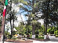
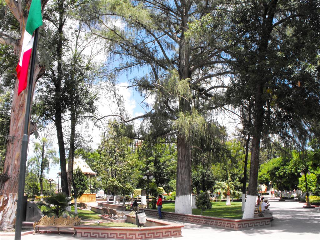
The heart of town is its main square, among the oldest in the state, shaded by trees several centuries old and facing the church of the Dulce Nombre de Jesús. Out in the ejido of El Refugio stands an 18th-century chapel with a leaning bell tower. The Dulce Nombre feast runs from December 26 to January 4, and the El Refugio regional fair (FERERE) from June 26 to July 4.
The local dish is enchiladas fernandenses; look also for barbacoa, asado, chorizo, cecina, tamales, oven-baked gorditas, migadas and aguamiel.
How to get to Ciudad Fernández
Ciudad Fernández is 3 km from the centre of Rioverde, about 5 minutes by car; the two towns run into each other and taxi routes link them. The nearest Pueblo Mágico is Jalpan de Serra, in Querétaro's Sierra Gorda, 109 km away by road, about 1 h 55 min.
Directions to Ciudad Fernández on Google Maps
Distances are in a straight line; the road is usually longer.
Links open a partner site. We may earn a commission if you book, at no cost to you.
From the nearest cities to Ciudad Fernández
- Rioverde · about 5 km by road, ~5 min
- San Luis de la Paz · about 115 km by road, ~1 h 40 min
- San Luis Potosí · about 135 km by road, ~1 h 55 min
Drive times by road from OpenStreetMap, without traffic or stops. Times marked ~ are estimated from the straight-line distance.
Before you go to Ciudad Fernández: hours, prices and tips
- Best season
- Dulce Nombre de Jesús feast December 26 to January 4; FERERE fair in El Refugio June 26 to July 4. Wikipedia (es), Ciudad Fernández · checked Oct 2026
Hours and prices change, especially around holidays. Each fact links to where we checked it.
Visiting Ciudad Fernández: what to see and do
The main square and its centuries-old trees
The church of the Dulce Nombre de Jesús
El Refugio's 18th-century chapel and its leaning tower
Enchiladas fernandenses and oven-baked gorditas
Plan your trip
Places to stay in Ciudad Fernández
Compare hotels, posadas, and rentals in and around Ciudad Fernández.
Tours & activities
Day trips around Ciudad del Maíz sometimes stop in Ciudad Fernández; a tour is the easy way to see it without a car.
Rental cars
Pick up a car at SLP (San Luis Potosí): about 2 h 39 min by road to Ciudad del Maíz, then 66 km more to Ciudad Fernández, on your own schedule.
Flights
The nearest airport with scheduled flights is San Luis Potosí (SLP), about 2 h 39 min by road from Ciudad del Maíz, the base for Ciudad Fernández.
Mobile data
Signal can drop away from Ciudad del Maíz: download a map of the way to Ciudad Fernández before you set out, or carry an eSIM with data.
Links open a partner site. We may earn a commission if you book, at no cost to you.
When to go to Ciudad Fernández mild
Ciudad Fernández shares the climate of Ciudad del Maíz, 66 km away. The best months to visit are January, February, March, and December.
See the month-by-month climate of Ciudad del Maíz
Weather in Ciudad Fernández now and the next 7 days
Live forecast from Open-Meteo. Chance of rain is the day's highest.
The closest Pueblo Mágico: Ciudad del Maíz

Ciudad del Maíz is the Pueblo Mágico closest to Ciudad Fernández, with places to stay, food, and more to see.
Also close to
- Tierranueva · San Luis Potosí · 69 km away
- Santa María del Río · San Luis Potosí · 76 km away
Closest to Ciudad Fernández
-
San Ciro de Acosta · Town · 38 km away
-
Cárdenas · Town · 39 km away
-
Alaquines · Village · 47 km away
-
Villa Juárez · Village · 50 km away
Near Ciudad Fernández

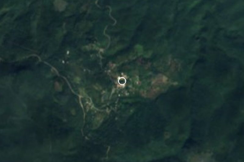






Drive times by road from OpenStreetMap, without traffic. Times marked ~ are estimated from the straight-line distance.
Location from OpenStreetMap. Written by Puebloteca.