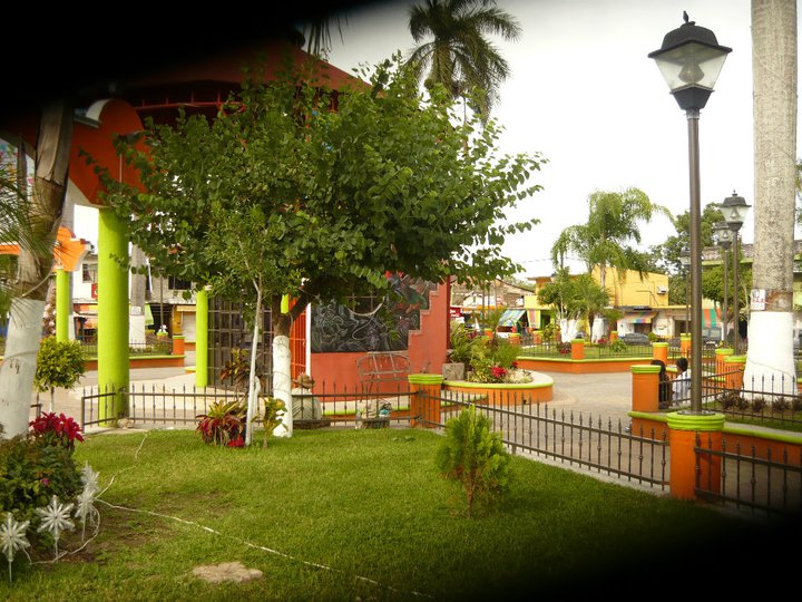
Village Tamasopo, San Luis Potosí Municipality of Tamasopo Huasteca Potosina
Sugar-cane town in the Sierra Madre foothills where the Huasteca meets Pame country; the base for its waterfalls and Puente de Dios.
From Ciudad Valles: about 45 min by road (~50 km) How to get there ↓
Near here
See everything nearby ↓



Plan your visit to Tamasopo
Where to stay near Tamasopo
Compare hotels, posadas and guest houses in Tamasopo.
Tours to Tamasopo
Day trips and guided outings from Aquismón often include Tamasopo; with a local guide you can get there without a car.
 Tamasopo Tour
From US$110
How to get to Tamasopo
- From Ciudad Valles: about 45 min by road (~50 km)
- Nearest airport: Tampico (TAM), 2 h 49 min by car to Aquismón
Links open a partner site. We may earn a commission if you book, at no cost to you.
Popular tours to Tamasopo
Tours, prices and ratings from Viator, checked weekly. We may earn a commission if you book.
About Tamasopo
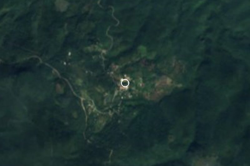
Tamasopo is the seat of its namesake municipality on the western edge of the Huasteca Potosina. It lies at about 370 metres in the foothills of the Sierra Madre Oriental, ringed by mountains that climb to around 1,500 metres, and had 4,599 residents in 2020. The name is Tének, from tam (place) and tzopon (to drip), so roughly "where it drips".
The town has always been called Tamasopo, though the municipality went by La Palma until 1932. This is borderland: the hot Huasteca lowlands meet the cooler uplands of Pame country here, and San Francisco de La Palma, in the south-west of the municipality, is the largest Pame settlement in that whole region. Huastec people traditionally lived in the south of the municipality and Pames in the north, and around 3,000 people still speak an Indigenous language. At over 1,300 km², the municipality is the third largest in the Huasteca Potosina, a mix of rivers, sinkholes, caves, marshes and sierra.
Sugar cane drives the economy, feeding the mill at Tambaca, one of the country's top producers; farmers also grow maize, bananas, papaya, mango, mamey and citrus. Town and Agua Buena, four kilometres along the Tamasopo River, have grown into one urban strip. Water is what brings visitors: the Tamasopo waterfalls are 2 km from the centre, El Trampolín is in Agua Buena, Puente de Dios lies about 3 km north-west, and the Ciénaga de Tamasopo wetland has been a Ramsar site since 2008. Town is where you eat, sleep and pick up a taxi to any of them.
How to get to Tamasopo
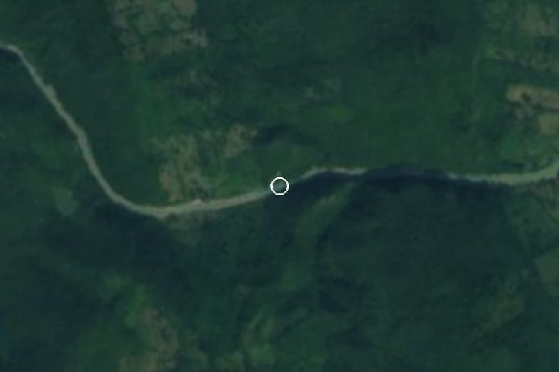
From Ciudad Valles take federal highway 70 towards Rioverde and San Luis Potosí, then the signposted turn-off to Tamasopo: 50 min from Ciudad Valles, 52 km by road. From Aquismón, the nearest Pueblo Mágico, it is 1 h 25 min and 98 km. From the city of San Luis Potosí allow about 3 h 15 min. Buses run from Ciudad Valles to Tamasopo's local terminal; we found no published timetable, so ask at the Valles bus station. In town, taxis leave from the main square every day; agree the fare before you set off.
Directions to Tamasopo on Google Maps
Distances are in a straight line; the road is usually longer.
Links open a partner site. We may earn a commission if you book, at no cost to you.
From the nearest cities to Tamasopo
- Ciudad Valles · about 50 km by road, ~45 min
- Rioverde · about 80 km by road, ~1 h 10 min
- Ciudad Mante · about 130 km by road, ~1 h 55 min
Drive times by road from OpenStreetMap, without traffic or stops. Times marked ~ are estimated from the straight-line distance.
Visiting Tamasopo: what to see and do
Stroll the main square, where taxis leave for the waterfalls.
Swim at the Tamasopo waterfalls, 2 km from the centre on the Agua Buena road.
Climb down to the cavern pool of Puente de Dios, about 3 km north-west.
Spend an afternoon at El Trampolín, the family pools in Agua Buena.
Look out over the Ciénaga de Tamasopo, a Ramsar-listed wetland.
Drive through the cane fields that supply the Tambaca sugar mill.
Plan your trip
Places to stay in Tamasopo
Compare hotels, posadas, and rentals in and around Tamasopo.
Tours & activities
Day trips and guided outings from Aquismón often include Tamasopo; with a local guide you can get there without a car.
Rental cars
Pick up a car at TAM (Tampico): about 2 h 49 min by road to Aquismón, then 51 km more to Tamasopo, on your own schedule.
Flights
The nearest airport with scheduled flights is Tampico (TAM), about 2 h 49 min by road from Aquismón, the base for Tamasopo.
Mobile data
Signal can drop away from Aquismón: download a map of the way to Tamasopo before you set out, or carry an eSIM with data.
Links open a partner site. We may earn a commission if you book, at no cost to you.
When to go to Tamasopo warm
Tamasopo shares the climate of Aquismón, 51 km away. The best months to visit are January, February, March, and December.
See the month-by-month climate of Aquismón
Weather in Tamasopo now and the next 7 days
Live forecast from Open-Meteo. Chance of rain is the day's highest.
The closest Pueblo Mágico: Aquismón

Aquismón is the Pueblo Mágico closest to Tamasopo, with places to stay, food, and more to see.
Also close to
- Ciudad del Maíz · San Luis Potosí · 58 km away
- Xilitla · San Luis Potosí · 73 km away
- Jalpan · Querétaro · 79 km away
Closest to Tamasopo
-
Cascadas de Tamasopo · Waterfall · 2 km away
-
Puente de Dios · Waterfall · 3 km away
-
Cascada de Tamul · Waterfall · 26 km away
-
Cárdenas · Town · 27 km away
-
Cueva del Agua · Cave · 28 km away
-
Alaquines · Village · 31 km away
-
Santa Catarina · Village · 31 km away
-
Cascadas de Micos · Waterfall · 32 km away

Near Tamasopo





Drive times by road from OpenStreetMap, without traffic. Times marked ~ are estimated from the straight-line distance.
Location from OpenStreetMap. Written by Puebloteca.