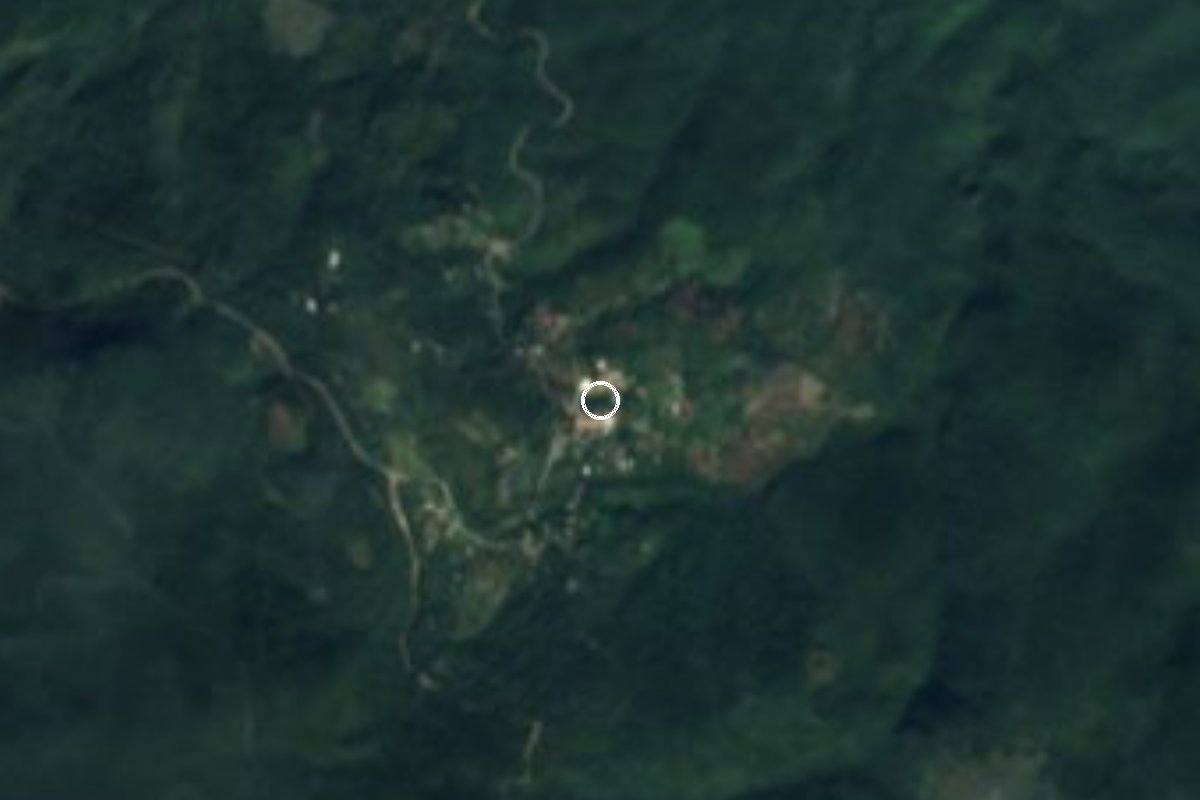
Village Santa Catarina, San Luis Potosí
Small, remote municipal seat in the Sierra Gorda of San Luis Potosí, a former Franciscan mission at the heart of Pame (Xi'úi) country.
From Ciudad Valles: about 1 h 10 min by road (~80 km) How to get there ↓
Near here
See everything nearby ↓


Plan your visit to Santa Catarina
Where to stay near Santa Catarina
Compare hotels, posadas and guest houses in Santa Catarina.
Tours to Santa Catarina
Day trips and guided outings from Jalpan often include Santa Catarina; with a local guide you can get there without a car.
 Tours from Xilitla
Surrealist Garden of Edward James, Castle of Health and Xilitla Nativity
★ 4.3 (10) · From US$100
How to get to Santa Catarina
- From Ciudad Valles: about 1 h 10 min by road (~80 km)
- Nearest airport: Querétaro (QRO), 2 h 51 min by car to Jalpan
Links open a partner site. We may earn a commission if you book, at no cost to you.
Tours from Xilitla, near Santa Catarina


Tours, prices and ratings from Viator, checked weekly. We may earn a commission if you book.
About Santa Catarina
Santa Catarina is a municipal seat of only about two hundred people, tucked 840 metres up among the hills of the Sierra Gorda as they spill north out of Querétaro. Its municipality, bounded by the Verde river to the north and the Santa María river along the Querétaro border, holds the largest Pame population in San Luis Potosí: more than half its people speak an Indigenous language, nearly always Pame. They call themselves Xi'úi and find the word "Pame" disrespectful.
The village was founded three times. In January 1606 Captain Gabriel Ortiz de Fuenmayor granted the local people three leagues of land in each direction, freedom from tribute and the right to ride horses and bear arms. Friar Juan de Cárdenas set up a mission in 1607, but at the spot later called Santa Elena. On July 1, 1617 Friar Juan Bautista de Mollinedo took possession of a church and friary on the present site and dedicated it to Saint Catherine the Martyr. By 1693 it had a church of lime and stone. After Independence the place was all but forgotten until it became a municipal seat in 1876. In 1910 four hundred rebels led by Magdaleno Cedillo tried to seize the Santa Catarina hacienda and were driven off.
The climate is warm and fairly humid with summer rain, and dry tropical forest of ebony and chijol covers almost the whole municipality. Families weave baskets, bread trays, shoulder bags and fire fans, and carve grinding stones from black volcanic rock. Typical dishes are steamed kid goat, picadillo and pork asado, with capirotada or candied chilacayote squash for dessert.
How to get to Santa Catarina
Santa Catarina is 1 h 20 min from Rioverde, 76 km by road, and 1 h 40 min from Jalpan, the nearest Pueblo Mágico, 87 km by road. From Rioverde head east on federal highway 70 to Rayón, then turn south on state road 8; a branch road leaves it for the village. State road 8 carries on south to Arroyo Seco, Querétaro, which is the way in from Jalpan. This is mountain country with bends and climbs, so allow extra time.
Public transport: we found no published bus or combi timetable to Santa Catarina. Ask in Rioverde or Rayón whether any local service runs to the village; otherwise you get there by car or a hired taxi.
Directions to Santa Catarina on Google Maps
Distances are in a straight line; the road is usually longer.
Links open a partner site. We may earn a commission if you book, at no cost to you.
From the nearest cities to Santa Catarina
- Rioverde · about 80 km by road, ~1 h 10 min
- Ciudad Valles · about 80 km by road, ~1 h 10 min
- San Luis de la Paz · about 145 km by road, ~2 h 10 min
Drive times by road from OpenStreetMap, without traffic or stops. Times marked ~ are estimated from the straight-line distance.
Before you go to Santa Catarina: hours, prices and tips
- Best season
- In the municipality, the feast of Saint Francis of Assisi on October 4 with traditional dances, and Day of the Dead on November 1 and 2. INAFED, Enciclopedia de los Municipios de México: Santa Catarina · checked Oct 2026
Hours and prices change, especially around holidays. Each fact links to where we checked it.
Visiting Santa Catarina: what to see and do
The village of the old Franciscan mission of Saint Catherine the Martyr
The church of Santa María Acapulco, a Pame community in the municipality where prayers are said in Pame
The Volcán de los Panales
The viewpoints known as Los Cachorros, La Mano Poderosa and El Pie de Cristo
The Manantial de los Anteojos spring
The Verde and Santa María rivers along the municipal borders
Baskets and black-stone metates made by Pame families
Plan your trip
Places to stay in Santa Catarina
Compare hotels, posadas, and rentals in and around Santa Catarina.
Tours & activities
Day trips and guided outings from Jalpan often include Santa Catarina; with a local guide you can get there without a car.
Rental cars
Pick up a car at QRO (Querétaro): about 2 h 51 min by road to Jalpan, then 49 km more to Santa Catarina, on your own schedule.
Flights
The nearest airport with scheduled flights is Querétaro (QRO), about 2 h 51 min by road from Jalpan, the base for Santa Catarina.
Mobile data
Signal can drop away from Jalpan: download a map of the way to Santa Catarina before you set out, or carry an eSIM with data.
Links open a partner site. We may earn a commission if you book, at no cost to you.
When to go to Santa Catarina mild
Santa Catarina shares the climate of Jalpan, 49 km away. The best months to visit are January, February, March, and December.
See the month-by-month climate of Jalpan
Weather in Santa Catarina now and the next 7 days
Live forecast from Open-Meteo. Chance of rain is the day's highest.
The closest Pueblo Mágico: Jalpan

Jalpan is the Pueblo Mágico closest to Santa Catarina, with places to stay, food, and more to see.
Also close to
- Aquismón · San Luis Potosí · 49 km away
- Pinal de Amoles · Querétaro · 60 km away
- Xilitla · San Luis Potosí · 60 km away
Closest to Santa Catarina
-
Concá · Town · 28 km away
-
Las Adjuntas · Nature reserve · 30 km away
-
Tamasopo · Village · 31 km away
-
Puente de Dios · Waterfall · 32 km away
-
Cascadas de Tamasopo · Waterfall · 33 km away
-
Misión de Tancoyol · Landmark · 33 km away
-
San Ciro de Acosta · Town · 33 km away
-
Cascada de Tamul · Waterfall · 36 km away

Near Santa Catarina





Drive times by road from OpenStreetMap, without traffic. Times marked ~ are estimated from the straight-line distance.
Location from OpenStreetMap. Written by Puebloteca.