

Waterfall Aquismón, San Luis Potosí Municipality of Aquismón Huasteca Potosina
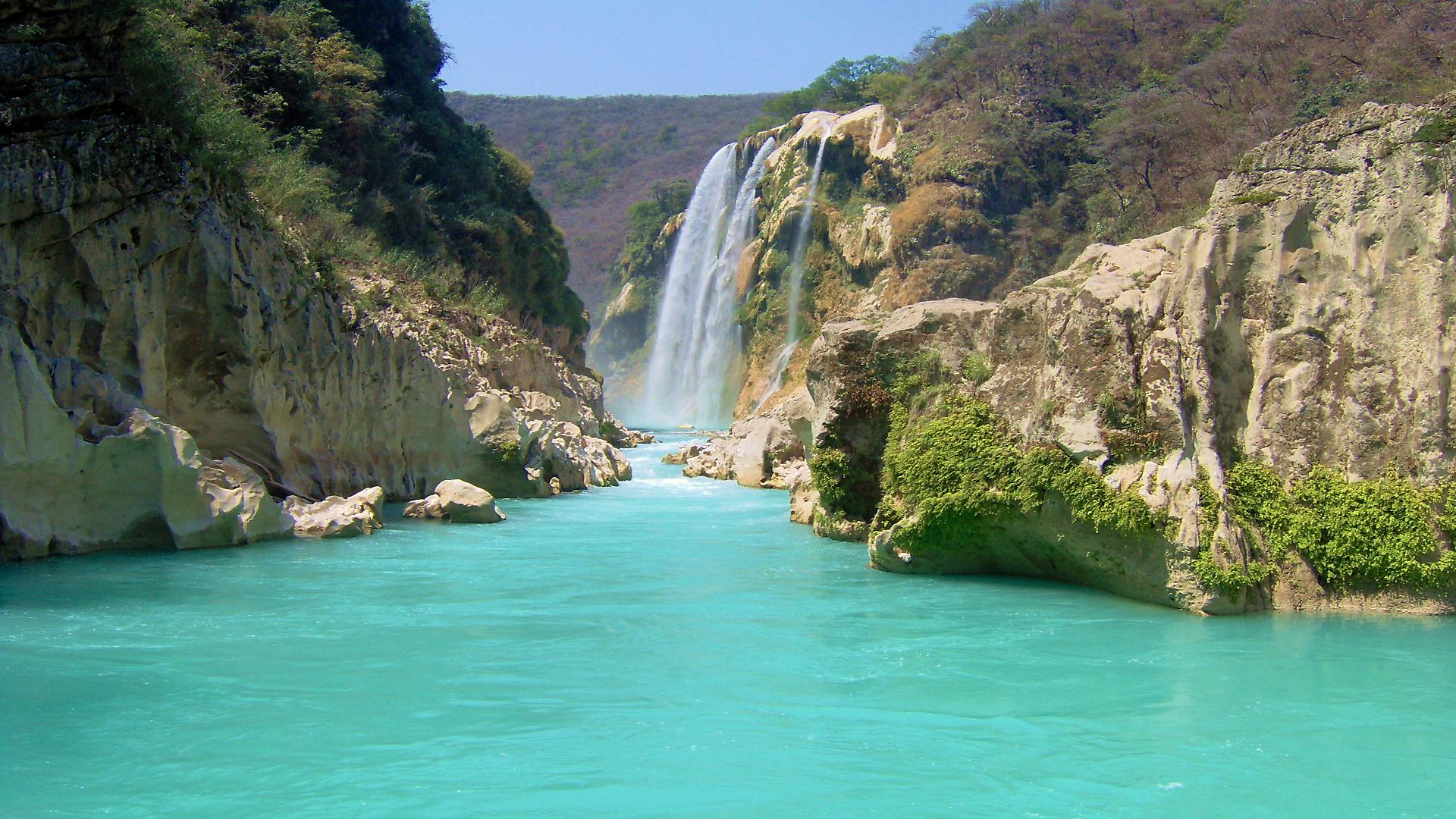
San Luis Potosí's highest waterfall, 105 metres into a turquoise canyon, reached by paddling a wooden canoe up the Tampaón river.
Reached by boat from Embarcadero La Morena: 1 h each way. How to get there ↓
Near here
See everything nearby ↓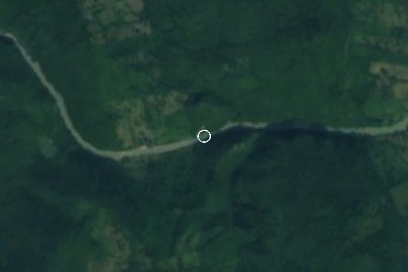


Plan your visit to Cascada de Tamul
Where to stay near Cascada de Tamul
Hotel Cascada Huasteca Hotel · 4.6 km from the center PricesTours to Cascada de Tamul
Day trips and guided outings from Aquismón often include Cascada de Tamul; with a local guide you can get there without a car.
 Tours from Ciudad Valles
Rafting in Tampaon River from Ciudad Valles
★ 5.0 (845) · From US$115
How to get to Cascada de Tamul
- Reached by boat from Embarcadero La Morena: 1 h each way.
- From Ciudad Valles: about 55 min by road (~47 km)
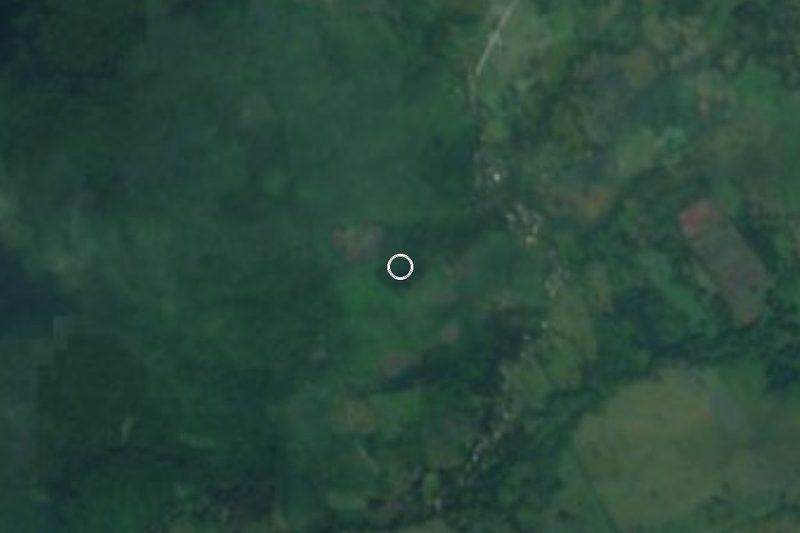
- 26 km northwest of Aquismón
- Nearest airport: Tampico (TAM), 2 h 49 min by car to Aquismón
Links open a partner site. We may earn a commission if you book, at no cost to you.
Tours from Ciudad Valles, near Cascada de Tamul


Tours, prices and ratings from Viator, checked weekly. We may earn a commission if you book.
About Cascada de Tamul
Tamul is the tallest waterfall in San Luis Potosí. The Gallinas River, fed by streams that rise around Tamasopo, runs off the edge of a cliff and drops 105 metres into the canyon of the Santa María River, which is about 300 metres deep here and takes the name Tampaón below the falls. In the dry months the falls are a few white ribbons over a turquoise pool; in the rainy season the curtain can spread to around 300 metres wide. In the 1960s locals called it La Sonadora, for its roar in the wet season. The rivers here also mark an old ethnic border between Tének (Huastec) and Pame lands.
There is no road to the foot of the falls, which is a big part of the experience. You travel up the Tampaón in a panga, a long wooden canoe, paddling with a local boatman against a gentle current between canyon walls and jungle; the river is a vivid blue-green when the water is low. Most trips stop at the Cueva del Agua, a deep, clear pool in a riverside cave where you get about half an hour to swim. On the river, a newer tradition has boat crews soaking each other with the bailers meant for scooping water out of the canoe.
You can also see Tamul from above, from El Sauz or El Naranjito, where there is camping and rappelling. It is one of the most visited sights in the Huasteca and gets crowded in Holy Week and the summer holidays. After heavy rains the river turns muddy and fast, and boat trips may be suspended.
How to get to Cascada de Tamul
Drive from Ciudad Valles to Embarcadero La Morena: 55 min, 47 km
Tamul is in the north of Aquismón municipality, about 45 minutes to an hour by car from Ciudad Valles. Take the road towards San Luis Potosí, turn off at El Sauz and continue to the ejido La Morena, which has the official boat landing, parking and camping; from there it is about an hour's paddle upstream (roughly 4 km). The other landing, Tanchachín, is a paddle of about two hours. Tours from Ciudad Valles and Aquismón include transport, entry and food.
Reached by boat from Embarcadero La Morena: 1 h each way.
26 km northwest of Aquismón
Directions from Aquismón on Google Maps
Distances are in a straight line; the road is usually longer.
Links open a partner site. We may earn a commission if you book, at no cost to you.
From the nearest cities to Cascada de Tamul
- Ciudad Valles · 47 km by road, 55 min to Embarcadero La Morena, then 1 h by boat
- Rioverde · 125 km by road, 2 h 15 min to Embarcadero La Morena, then 1 h by boat
- Ciudad Mante · 143 km by road, 2 h 30 min to Embarcadero La Morena, then 1 h by boat
Drive times by road from OpenStreetMap, without traffic or stops. Times marked ~ are estimated from the straight-line distance.
Before you go to Cascada de Tamul: hours, prices and tips
- Hours
- Daily, 8 am to 5 pm (reported 2025). Tus Buenas Noticias (Mar 2025) · checked Oct 2026
- Entry
- About 200 pesos per person including the canoe trip (2026). A 2025 breakdown: canoe 140 pesos a person (or 1,200 for a whole boat), 50 pesos general entry, 10 pesos for La Morena landing and 30 pesos parking per car. Rappelling about 800 pesos. El Universal San Luis (Apr 2026); Tus Buenas Noticias (Mar 2025) · checked Oct 2026
- Time needed
- About an hour of paddling upstream from La Morena, depending on the river; from Tanchachín about two hours. Milenio (2026); Plano Informativo (2024) · checked Oct 2026
- Best season
- October to May is the best time; in the rainy season the river is muddy and trips may be cancelled. Holy Week and the summer holidays bring big crowds. Plano Informativo (2024); Milenio (2026) · checked Oct 2026
- Guide or tour
- You reach the foot of the falls by panga with the boatmen's cooperatives at La Morena or Tanchachín; you paddle together with the boatman. Tours from Ciudad Valles or Aquismón bundle transport, entry and food. Tours: Viator GetYourGuide Plano Informativo (2024) · checked Oct 2026
- What to bring
- Insect repellent, sunscreen and water shoes. Plano Informativo (2024) · checked Oct 2026
- Rules
- Life jacket on at all times, including while swimming in the Cueva del Agua; follow the boatmen's instructions and take your trash back with you. Milenio (2026); Plano Informativo (2024) · checked Oct 2026
Hours and prices change, especially around holidays. Each fact links to where we checked it.
Visiting Cascada de Tamul: what to see and do
Paddle up the Tampaón River in a wooden panga with a local boatman to the foot of the falls.
Swim for about half an hour in the Cueva del Agua, a clear, deep pool in a riverside cave.
Join (or dodge) the water fights between passing canoes.
See the falls from above at El Sauz or El Naranjito, where you can camp and rappel.
Come in the dry season, roughly October to May, for the brightest turquoise water.
Plan your trip
Places to stay in Cascada de Tamul
Hotel Cascada Huasteca Hotel · 4.6 km from the center Find on ExpediaTours & activities
Day trips and guided outings from Aquismón often include Cascada de Tamul; with a local guide you can get there without a car.
Rental cars
Pick up a car at TAM (Tampico): about 2 h 49 min by road to Aquismón, then 26 km more to Cascada de Tamul, on your own schedule.
Flights
The nearest airport with scheduled flights is Tampico (TAM), about 2 h 49 min by road from Aquismón, the base for Cascada de Tamul.
Travel insurance
If you plan on swimming and hiking at Cascada de Tamul, check that your policy covers it: some plans leave adventure activities out.
Mobile data
Signal can drop away from Aquismón: download a map of the way to Cascada de Tamul before you set out, or carry an eSIM with data.
Links open a partner site. We may earn a commission if you book, at no cost to you. Hotel names from OpenStreetMap.
Photos
When to go to Cascada de Tamul warm
Cascada de Tamul shares the climate of Aquismón, 26 km away. The best months to visit are January, February, March, and December.
Waterfalls like Cascada de Tamul run fullest in the rainiest months here (June, July, and September) and can thin out at the end of the dry season (January, February, and March).
See the month-by-month climate of Aquismón
Weather in Cascada de Tamul now and the next 7 days
Live forecast from Open-Meteo. Chance of rain is the day's highest.
Make Aquismón your base

Cascada de Tamul is an easy trip from Aquismón, a Pueblo Mágico with places to stay, food, and more to see.
Also close to
- Xilitla · San Luis Potosí · 50 km away
- Jalpan · Querétaro · 72 km away
- Ciudad del Maíz · San Luis Potosí · 80 km away
Closest to Cascada de Tamul
-
Cueva del Agua · Cave · 2 km away
-
Cascadas de Tambaque · Waterfall · 19 km away
-
Cuevas de Mantetzulel · Cave · 23 km away
-
Sótano de las Golondrinas · Cave · 24 km away
-
Ciudad Valles · City · 26 km away · San Luis Potosí
-
Cascadas de Tamasopo · Waterfall · 27 km away · San Luis Potosí
-
Puente de Dios · Waterfall · 28 km away · San Luis Potosí
-
Tancanhuitz · Town · 32 km away

Near Cascada de Tamul
-
Sótano de las Huahuas · Cave · San Luis Potosí
1 h 50 min: 1 h by boat back to Embarcadero La Morena, then drive -
Huehuetlán · Town · San Luis Potosí
1 h 50 min: 1 h by boat back to Embarcadero La Morena, then drive -
Coxcatlán · Town · San Luis Potosí
1 h 55 min: 1 h by boat back to Embarcadero La Morena, then drive -
Nacimiento de Huichihuayán · Nature reserve · San Luis Potosí
2 h: 1 h by boat back to Embarcadero La Morena, then drive -
Cascadas de Micos · Waterfall · San Luis Potosí
2 h 5 min: 1 h by boat back to Embarcadero La Morena, then drive -
Castillo de la Salud · Landmark · San Luis Potosí
2 h 10 min: 1 h by boat back to Embarcadero La Morena, then drive -
Las Pozas · Landmark · San Luis Potosí
2 h 15 min: 1 h by boat back to Embarcadero La Morena, then drive -
Zona Arqueológica Tamohi · Archaeological site · San Luis Potosí
2 h 20 min: 1 h by boat back to Embarcadero La Morena, then drive -
Tamazunchale · Town · San Luis Potosí
2 h 30 min: 1 h by boat back to Embarcadero La Morena, then drive




Drive times by road from OpenStreetMap, without traffic. Times marked ~ are estimated from the straight-line distance.
Lists with Cascada de Tamul
Waterfalls in San Luis Potosí · 8 Waterfalls near Aquismón · 5 Waterfalls near Ciudad Valles · 6Something wrong or missing on this page? Suggest a fix or addition
Location from OpenStreetMap. Written by Puebloteca.