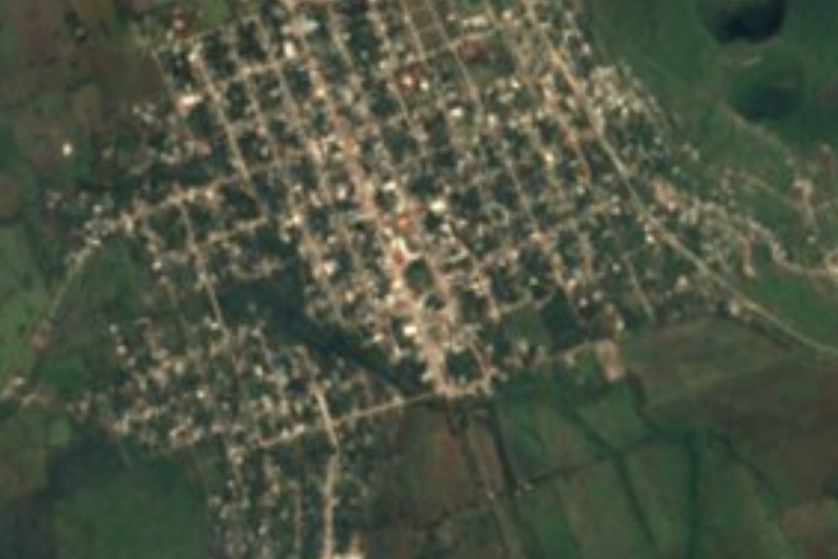
Town San Ciro de Acosta, San Luis Potosí
A former 1851 military colony south of Rioverde on the road to the Sierra Gorda, with a regional fair January 22-31 and basalt molcajetes.
From Rioverde: about 40 min by road (~45 km) How to get there ↓
Near here
See everything nearby ↓


Plan your visit to San Ciro de Acosta
Where to stay near San Ciro de Acosta
Compare hotels, posadas and guest houses in San Ciro de Acosta.
Tours to San Ciro de Acosta
Day trips around Jalpan sometimes stop in San Ciro de Acosta; a tour is the easy way to see it without a car.
 Tours from Xilitla
Surrealist Garden of Edward James, Castle of Health and Xilitla Nativity
★ 4.3 (10) · From US$100
How to get to San Ciro de Acosta
- From Rioverde: about 40 min by road (~45 km)
- Nearest airport: Querétaro (QRO), 2 h 51 min by car to Jalpan
Links open a partner site. We may earn a commission if you book, at no cost to you.
Tours from Xilitla, near San Ciro de Acosta


Tours, prices and ratings from Viator, checked weekly. We may earn a commission if you book.
About San Ciro de Acosta
San Ciro de Acosta, a municipal seat, sits about 900 metres up in the Zona Media of San Luis Potosí, on the highway that runs south from Rioverde toward Jalpan de Serra. Roughly 7,400 people live here, growing maize, beans, watermelon and melon or raising cattle.
The town was born out of a revolt. In 1848 Eleuterio Quiroz rose up in the Sierra Gorda, and the following year he issued a land-reform plan in Rioverde. Once federal troops had crushed the uprising, the government chose to settle the sierra with three military colonies. One was laid out in 1851 on land of the Amoladeras hacienda and named San Ciro de Albercas, after three reservoirs west of town that catch the summer rain; in 1853 it became a villa. Tradition says the saint was picked because the colony's commander was named José Ciro.
The second half of the name came with the Revolution. In April 1911 Miguel Acosta rode in with his band and freed the prisoners, one of the first revolutionary victories in the state.
The parish church keeps an oil painting of Saint Cyrus from 1852. The regional fair, January 22 to 31, brings traditional dances, charreadas, dance nights and fireworks. Local craftsmen carve molcajetes and bowls from black basalt and weave palm, and the kitchen runs to nopales, pitayas, tamales, red mole and sweets of piloncillo, biznaga cactus and sweet potato. To the south the foothills of the Sierra Gorda rise to 1,500 m, and the Santa María river marks the border with Guanajuato and Querétaro.
How to get to San Ciro de Acosta
San Ciro lies on federal highway 69, the paved Rioverde–Jalpan de Serra road, which enters town as Calle Hidalgo. From Rioverde it is 40 min and 38 km by road heading south; carrying on along the same highway into Querétaro's Sierra Gorda, Jalpan, the nearest Pueblo Mágico, is 1 h 15 min and 69 km away by road. We found no published bus or colectivo timetable between Rioverde and San Ciro; ask at the Rioverde bus station for services toward San Ciro and Jalpan.
Directions to San Ciro de Acosta on Google Maps
Distances are in a straight line; the road is usually longer.
Links open a partner site. We may earn a commission if you book, at no cost to you.
From the nearest cities to San Ciro de Acosta
- Rioverde · about 45 km by road, ~40 min
- San Luis de la Paz · about 105 km by road, ~1 h 35 min
- Ciudad Valles · about 120 km by road, ~1 h 45 min
Drive times by road from OpenStreetMap, without traffic or stops. Times marked ~ are estimated from the straight-line distance.
Before you go to San Ciro de Acosta: hours, prices and tips
- Best time of day
- The hottest months run from March to October; November to February is the cool season. INAFED, Enciclopedia de los Municipios de México: San Ciro de Acosta · checked Oct 2026
- Best season
- Regional fair January 22-31, with dances, charreadas and fireworks; feast of the Virgin of Guadalupe on December 12. INAFED, Enciclopedia de los Municipios de México: San Ciro de Acosta · checked Oct 2026
Hours and prices change, especially around holidays. Each fact links to where we checked it.
Visiting San Ciro de Acosta: what to see and do
The parish of San Ciro and its 1852 painting of the patron saint
The main square, laid out when the town was a military colony
The regional fair, January 22-31, with charreadas and dances
Molcajetes and bowls carved from black basalt in the municipality
The Sierra Gorda foothills to the south, with Cerro Bola, Jalapa and Chontel
Plan your trip
Places to stay in San Ciro de Acosta
Compare hotels, posadas, and rentals in and around San Ciro de Acosta.
Tours & activities
Day trips around Jalpan sometimes stop in San Ciro de Acosta; a tour is the easy way to see it without a car.
Rental cars
Pick up a car at QRO (Querétaro): about 2 h 51 min by road to Jalpan, then 60 km more to San Ciro de Acosta, on your own schedule.
Flights
The nearest airport with scheduled flights is Querétaro (QRO), about 2 h 51 min by road from Jalpan, the base for San Ciro de Acosta.
Mobile data
Signal can drop away from Jalpan: download a map of the way to San Ciro de Acosta before you set out, or carry an eSIM with data.
Links open a partner site. We may earn a commission if you book, at no cost to you.
When to go to San Ciro de Acosta mild
San Ciro de Acosta shares the climate of Jalpan, 60 km away. The best months to visit are January, February, March, and December.
See the month-by-month climate of Jalpan
Weather in San Ciro de Acosta now and the next 7 days
Live forecast from Open-Meteo. Chance of rain is the day's highest.
The closest Pueblo Mágico: Jalpan

Jalpan is the Pueblo Mágico closest to San Ciro de Acosta, with places to stay, food, and more to see.
Also close to
- Pinal de Amoles · Querétaro · 60 km away
Closest to San Ciro de Acosta
-
Concá · Town · 30 km away
-
Santa Catarina · Village · 33 km away
-
Las Adjuntas · Nature reserve · 37 km away
-
Ciudad Fernández · Town · 38 km away
-
Sótano del Barro · Cave · 41 km away
-
Cárdenas · Town · 43 km away
-
Xichú · Village · 46 km away

Near San Ciro de Acosta





Drive times by road from OpenStreetMap, without traffic. Times marked ~ are estimated from the straight-line distance.
Location from OpenStreetMap. Written by Puebloteca.