
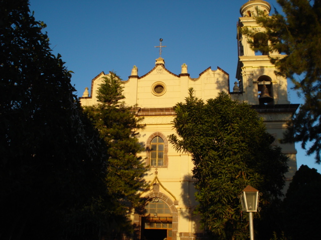
Town Cárdenas, San Luis Potosí
The Zona Media's railway town: a 1613 hacienda, San Luis–Tampico railway workshops from 1890, and the San Nicolás Tolentino feast each September.
From Rioverde: about 45 min by road (~50 km) How to get there ↓
Near here
See everything nearby ↓


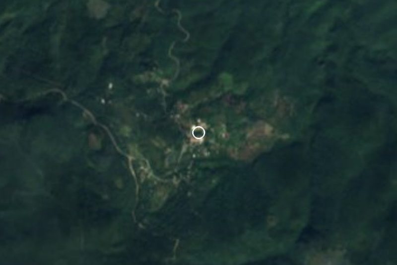
Plan your visit to Cárdenas
Where to stay near Cárdenas
Compare hotels, posadas and guest houses in Cárdenas.
Tours to Cárdenas
Day trips around Ciudad del Maíz sometimes stop in Cárdenas; a tour is the easy way to see it without a car.
 Tours from Ciudad Valles
Rafting in Tampaon River from Ciudad Valles
★ 5.0 (845) · From US$115
How to get to Cárdenas
- From Rioverde: about 45 min by road (~50 km)
- Nearest airport: San Luis Potosí (SLP), 2 h 39 min by car to Ciudad del Maíz
Links open a partner site. We may earn a commission if you book, at no cost to you.
Tours from Ciudad Valles, near Cárdenas


Tours, prices and ratings from Viator, checked weekly. We may earn a commission if you book.
About Cárdenas
Cárdenas is known as the railway city, and nearly everything it became it owes to the tracks. It sits 1,200 metres up in the Zona Media of San Luis Potosí, and has about 15,300 people.
A hacienda came first. In 1613 the Marquis of Guadalcázar granted Luis de Cárdenas the Ciénega de San Nicolás, an estate that ended up named after its owner's family. Most of its people were Pames, scattered across small settlements and served by friars from the Alaquines mission.
Work on the San Luis Potosí–Tampico railway began in 1881: climbing from Tamasopo to the plateau meant boring tunnels through the mountains, and the two ends finally met at La Labor, beside the town, in April 1890. The Cárdenas Division workshops followed, the Rasconcito and Colonia Americana neighbourhoods went up, and families from Alaquines and Rayón moved in to trade. During the Revolution the Cedillo brothers' forces made the town their base, and on May 27, 1917 they overran the garrison and set railway installations on fire. Cárdenas became a municipality of its own, split from Alaquines, in 1920, and in 1923 Aurelio Manrique declared it the provisional state capital, never recognised federally. The last steam engine left the workshop in 1957, and today only freight trains pass.
El Picacho, a hill of about 1,300 metres, is the town's emblem and looks over all of it. The big feast honours San Nicolás Tolentino in September, and a spring fair runs in May. Try pemoles, barbacoa and biznaga candy.
How to get to Cárdenas
Cárdenas lies north of federal highway 70, the road between Rioverde and Ciudad Valles. A paved branch road of about 15 km leaves highway 70 northward and runs into town; from Rioverde it is 1 h and 57 km by road. North of town, paved state highway 5 continues through Alaquines to Ciudad del Maíz, the nearest Pueblo Mágico, 50 min and 55 km away by road. The railway no longer carries passengers. We found no published bus timetable to Cárdenas; ask at the Rioverde or Ciudad Valles bus stations for services that stop in town.
Directions to Cárdenas on Google Maps
Distances are in a straight line; the road is usually longer.
Links open a partner site. We may earn a commission if you book, at no cost to you.
From the nearest cities to Cárdenas
- Rioverde · about 50 km by road, ~45 min
- Ciudad Valles · about 85 km by road, ~1 h 15 min
- Ciudad Mante · about 140 km by road, ~2 h 5 min
Drive times by road from OpenStreetMap, without traffic or stops. Times marked ~ are estimated from the straight-line distance.
Before you go to Cárdenas: hours, prices and tips
- Best season
- Feast of the patron San Nicolás Tolentino around September 9, with a pilgrimage of townspeople living elsewhere; spring fair (Feria de la Primavera) in May. INAFED, Enciclopedia de los Municipios de México: Cárdenas · checked Oct 2026
Hours and prices change, especially around holidays. Each fact links to where we checked it.
Visiting Cárdenas: what to see and do
The railway station, a historic monument from the days of the line to Tampico
The main house of the former Ciénega de San Nicolás hacienda
The former Casas Grandes hacienda
El Picacho hill, with a view over the whole town
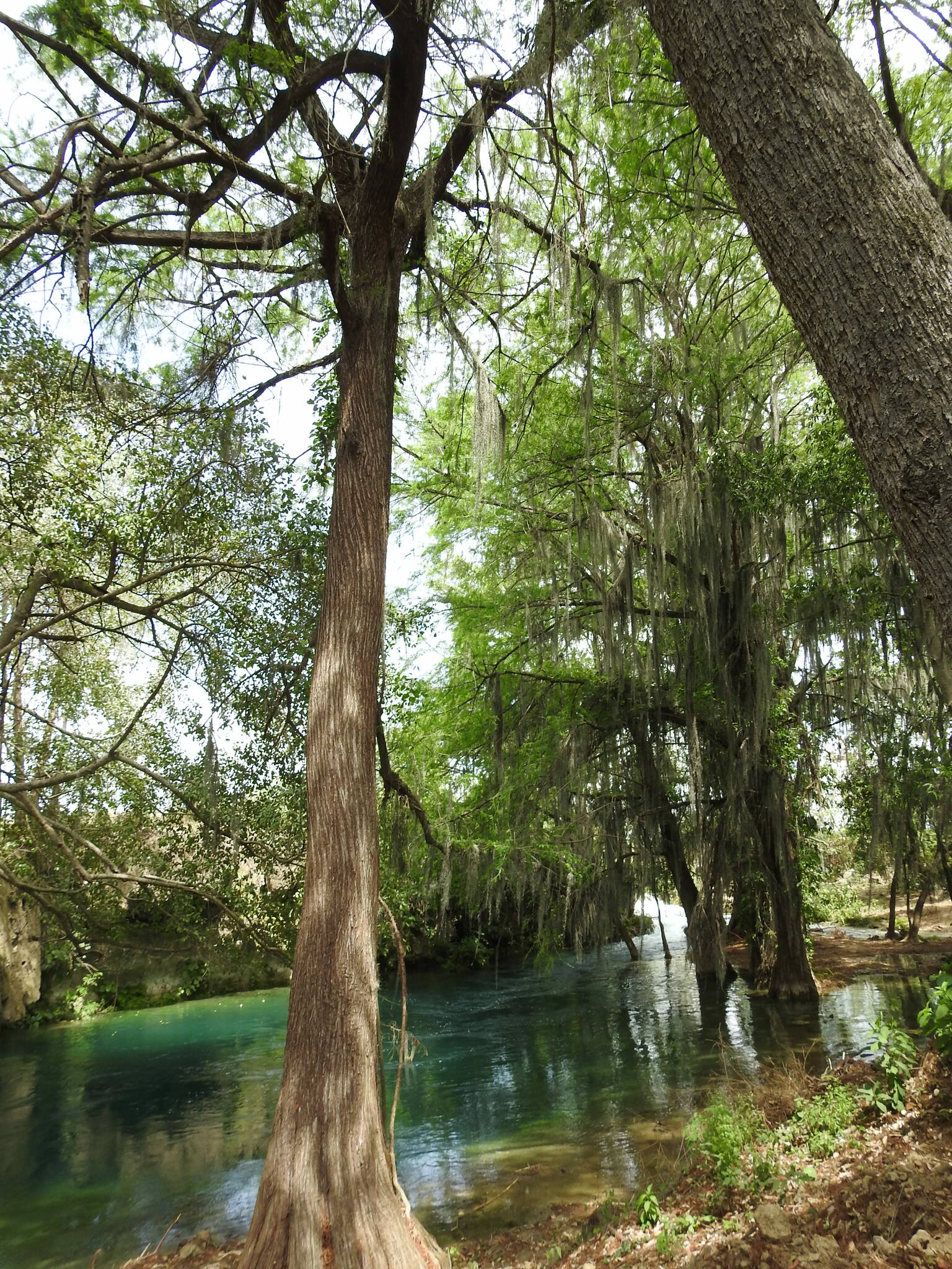
The natural pools of the Canoas river
The Nápoles, El Naranjo and Higinio Olivo reservoirs
The late 19th-century cemetery and its chapel
Plan your trip
Places to stay in Cárdenas
Compare hotels, posadas, and rentals in and around Cárdenas.
Tours & activities
Day trips around Ciudad del Maíz sometimes stop in Cárdenas; a tour is the easy way to see it without a car.
Rental cars
Pick up a car at SLP (San Luis Potosí): about 2 h 39 min by road to Ciudad del Maíz, then 45 km more to Cárdenas, on your own schedule.
Flights
The nearest airport with scheduled flights is San Luis Potosí (SLP), about 2 h 39 min by road from Ciudad del Maíz, the base for Cárdenas.
Mobile data
Signal can drop away from Ciudad del Maíz: download a map of the way to Cárdenas before you set out, or carry an eSIM with data.
Links open a partner site. We may earn a commission if you book, at no cost to you.
When to go to Cárdenas mild
Cárdenas shares the climate of Ciudad del Maíz, 45 km away. The best months to visit are January, February, March, and December.
See the month-by-month climate of Ciudad del Maíz
Weather in Cárdenas now and the next 7 days
Live forecast from Open-Meteo. Chance of rain is the day's highest.
The closest Pueblo Mágico: Ciudad del Maíz

Ciudad del Maíz is the Pueblo Mágico closest to Cárdenas, with places to stay, food, and more to see.
Also close to
- Aquismón · San Luis Potosí · 77 km away
Closest to Cárdenas
-
Alaquines · Village · 15 km away
-
Puente de Dios · Waterfall · 25 km away
-
Cascadas de Tamasopo · Waterfall · 26 km away
-
Tamasopo · Village · 27 km away
-
Ciudad Fernández · Town · 39 km away
-
Santa Catarina · Village · 41 km away
-
San Ciro de Acosta · Town · 43 km away
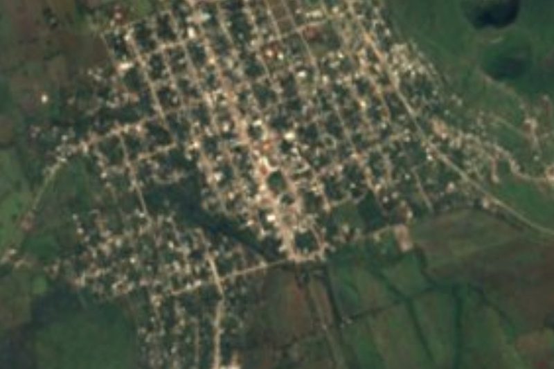
Near Cárdenas





Drive times by road from OpenStreetMap, without traffic. Times marked ~ are estimated from the straight-line distance.
Location from OpenStreetMap. Written by Puebloteca.