
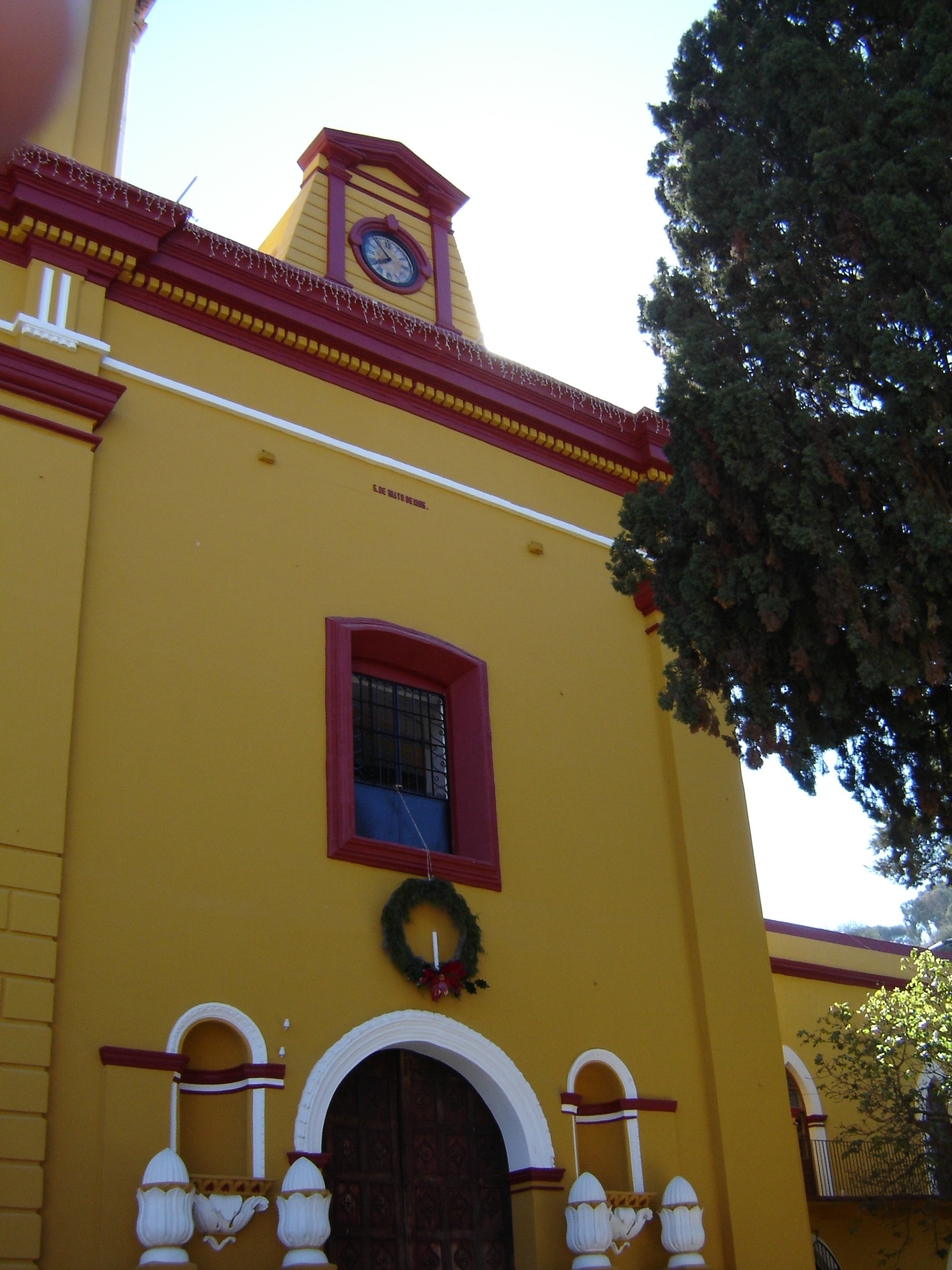
Village Alaquines, San Luis Potosí
Municipal seat in a hill-ringed hollow, with two-storey houses and an 18th-century Guatemalan Christ that draws pilgrims every May.
From Rioverde: about 55 min by road (~60 km) How to get there ↓
Near here
See everything nearby ↓


Plan your visit to Alaquines
Where to stay near Alaquines
Compare hotels, posadas and guest houses in Alaquines.
Tours to Alaquines
Day trips and guided outings from Ciudad del Maíz often include Alaquines; with a local guide you can get there without a car.
 Tours from Ciudad Valles
Rafting in Tampaon River from Ciudad Valles
★ 5.0 (845) · From US$115
How to get to Alaquines
- From Rioverde: about 55 min by road (~60 km)
- Nearest airport: San Luis Potosí (SLP), 2 h 39 min by car to Ciudad del Maíz
Links open a partner site. We may earn a commission if you book, at no cost to you.
Tours from Ciudad Valles, near Alaquines


Tours, prices and ratings from Viator, checked weekly. We may earn a commission if you book.
About Alaquines
Alaquines lies at the bottom of a small valley closed in by tall hills, in the Zona Media of San Luis Potosí, on the road between Cárdenas and Ciudad del Maíz. The first thing you notice on the way down is the centre, where nearly every house has two storeys, which sets it apart from every other municipal seat in the state. The village has 1,177 people, and the whole municipality, spread over 46 settlements, about 7,800, living from farming, cattle and trade.
The name comes from the Alaquines, an Indigenous people settled here around 1616, when the Marquis of Guadalcázar, Diego Fernández de Córdoba, was viceroy. Friar Juan de Cárdenas left a mission under the Franciscan custody of Rioverde, but its first church, a thatched hut, was destroyed when the Alaquines rose up. The settlement was formally founded in 1691 as San José de los Montes Alaquines.
Most visitors come for the Señor del Santo Entierro, known locally as the Cristo Milagroso: an 18th-century Guatemalan carving of the dead Christ, close to life size, with a gold crown and gold nails on an iron cross, kept in a chapel of its own. Townspeople tell a legend about how the image arrived and why it stayed. Its fiesta runs from May 25 to 29, when pilgrims from across Mexico and from the United States bring flowers, gifts and requests. Local cooking leans on nopal and prickly pears, barbacoa, tamales and candied squash, washed down with champurrado, a hot chocolate drink thickened with corn.
How to get to Alaquines
From Rioverde take federal highway 70 toward Ciudad Valles as far as the Cárdenas area, then turn onto state highway 5, the Cárdenas to Ciudad del Maíz road; Alaquines is about 19 km from Cárdenas. All told it is 1 h 20 min from Rioverde, 76 km by road. From Ciudad del Maíz, the nearest Pueblo Mágico, come down the same state highway 5: 40 min and 40 km. We found no published bus timetable to the village; ask at the Rioverde bus station or in Cárdenas for services toward Ciudad del Maíz that pass through Alaquines.
Directions to Alaquines on Google Maps
Distances are in a straight line; the road is usually longer.
Links open a partner site. We may earn a commission if you book, at no cost to you.
From the nearest cities to Alaquines
- Rioverde · about 60 km by road, ~55 min
- Ciudad Valles · about 80 km by road, ~1 h 10 min
- Ciudad Mante · about 120 km by road, ~1 h 50 min
Drive times by road from OpenStreetMap, without traffic or stops. Times marked ~ are estimated from the straight-line distance.
Before you go to Alaquines: hours, prices and tips
- Best season
- Señor del Santo Entierro (Cristo Milagroso) fiesta May 25 to 29; patron-saint fiesta of Santiago on July 25. CEFIM, Gobierno de San Luis Potosí · checked Oct 2026
Hours and prices change, especially around holidays. Each fact links to where we checked it.
Visiting Alaquines: what to see and do
The Santo Entierro chapel and its 18th-century Guatemalan Christ with gold crown and nails
The parish church, built on the site of the old Franciscan mission
The village centre of two-storey houses in the valley floor
The old main house of the former Hacienda de Martínez, in the municipality
The Cristo Milagroso fiesta, May 25 to 29
Plan your trip
Places to stay in Alaquines
Compare hotels, posadas, and rentals in and around Alaquines.
Tours & activities
Day trips and guided outings from Ciudad del Maíz often include Alaquines; with a local guide you can get there without a car.
Rental cars
Pick up a car at SLP (San Luis Potosí): about 2 h 39 min by road to Ciudad del Maíz, then 30 km more to Alaquines, on your own schedule.
Flights
The nearest airport with scheduled flights is San Luis Potosí (SLP), about 2 h 39 min by road from Ciudad del Maíz, the base for Alaquines.
Mobile data
Signal can drop away from Ciudad del Maíz: download a map of the way to Alaquines before you set out, or carry an eSIM with data.
Links open a partner site. We may earn a commission if you book, at no cost to you.
When to go to Alaquines mild
Alaquines shares the climate of Ciudad del Maíz, 30 km away. The best months to visit are January, February, March, and December.
See the month-by-month climate of Ciudad del Maíz
Weather in Alaquines now and the next 7 days
Live forecast from Open-Meteo. Chance of rain is the day's highest.
The closest Pueblo Mágico: Ciudad del Maíz

Ciudad del Maíz is the Pueblo Mágico closest to Alaquines, with places to stay, food, and more to see.
Closest to Alaquines
-
Cárdenas · Town · 15 km away
-
Puente de Dios · Waterfall · 29 km away
-
Cascadas de Tamasopo · Waterfall · 30 km away
-
Tamasopo · Village · 31 km away
-
Cascada de Minas Viejas · Waterfall · 40 km away
-
Cascadas de Micos · Waterfall · 46 km away
-
Ciudad Fernández · Town · 47 km away

Near Alaquines

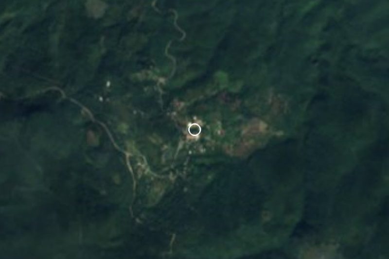

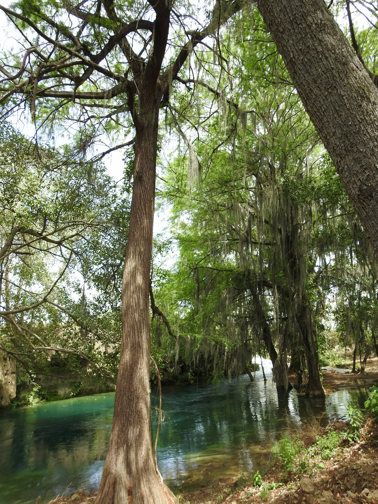
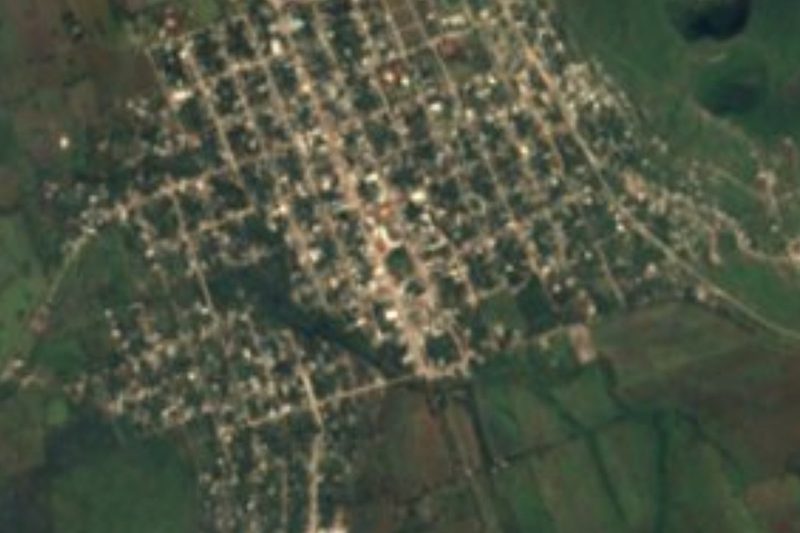




Drive times by road from OpenStreetMap, without traffic. Times marked ~ are estimated from the straight-line distance.
Location from OpenStreetMap. Written by Puebloteca.