Town Cerritos, San Luis Potosí
Zona Media town set among low hills, once a stop on the San Luis Potosí–Tampico railway, with its San Juan Bautista fair June 16 to 24.
From Rioverde: about 1 h 10 min by road (~80 km) How to get there ↓
Plan your visit to Cerritos
Where to stay near Cerritos
Compare hotels, posadas and guest houses in Cerritos.
Tours to Cerritos
Day trips around Ciudad del Maíz sometimes stop in Cerritos; a tour is the easy way to see it without a car.
 Tours from San Luis Potosi City
Xilitla Surrealistic Garden and Huahuas Abyss Tour
★ 4.9 (251) · From US$72
How to get to Cerritos
- From Rioverde: about 1 h 10 min by road (~80 km)
- Nearest airport: San Luis Potosí (SLP), 2 h 39 min by car to Ciudad del Maíz
Links open a partner site. We may earn a commission if you book, at no cost to you.
Tours from San Luis Potosi City, near Cerritos


Tours, prices and ratings from Viator, checked weekly. We may earn a commission if you book.
About Cerritos
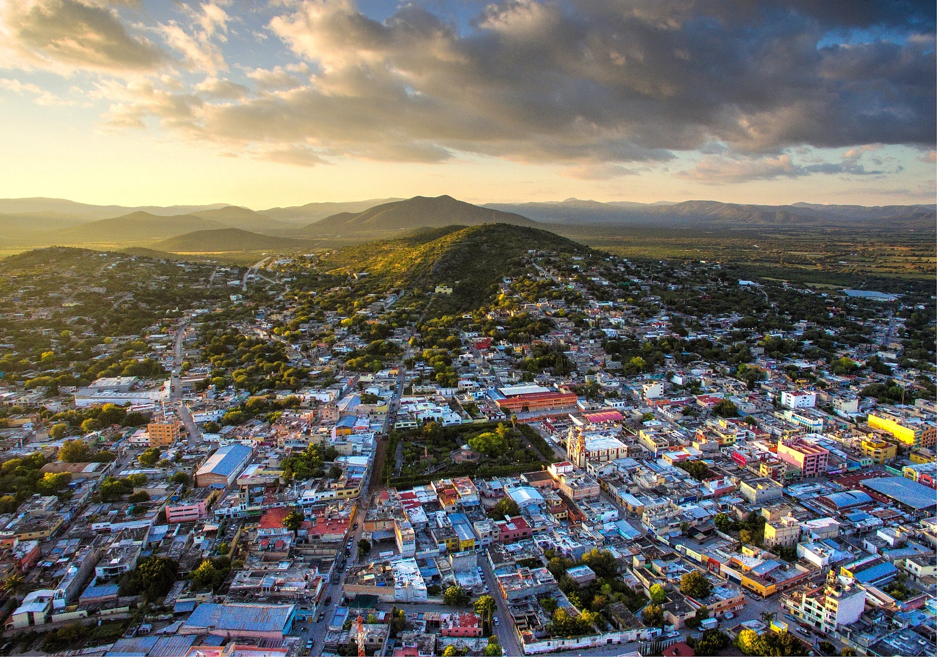
The name comes from the lie of the land: Cerritos sits on a flat stretch ringed by low hills, about 1,150 metres up in San Luis Potosí's Zona Media. In colonial times it was known as the Rancho de San Juan de los Cerritos, and around 1640 Martín de Turrubiartes brought the first settlers here, when the area still belonged to Guadalcázar. The state congress made it a villa in 1826 and a municipality in 1830, and for a time Cerritos also governed La Carbonera, the territory that is now Villa Juárez.
The Revolution hit hard. The town sided with the Cedillo faction, and looting and hunger left it struggling until about 1918. By then it already had a railway station: until 1970 cattle and sulphur were loaded there, and until the early 1980s passenger trains still ran through on the line between San Luis Potosí and the Gulf port of Tampico.
The 2020 census counted 15,692 people in town. Recent growth came with the Cementos Moctezuma plant, a campus of the Intercultural University of San Luis Potosí and a new road towards Rioverde. Outside town, ranchers raise cattle and farmers grow maize, chile and sorghum, and workshops turn ixtle fibre into everyday goods.
The parish church of San Juan Bautista, the patron saint, anchors the centre. His feast, June 16 to 24, brings a fair, horse races and cockfights. Local cooking leans on oven-baked gorditas, gorditas filled with nopal cactus in chile, chorizo, fresh cheese, cecina and chicken enchiladas.
How to get to Cerritos
Cerritos lies in the north of the Zona Media, just above Villa Juárez municipality. From Rioverde it is 73 km by road, about 1 h 05 min by car. The nearest Pueblo Mágico is Tula, in Tamaulipas, 1 h 20 min and 96 km away by road. From the state capital the drive takes around an hour and a half.
By public transport: the regional line Autobuses Cerritenses is based in Cerritos, the town has two bus stations and taxi ranks. Note that the direct Cerritos–Rioverde route was dropped by its operator in March 2024 and still had no service in early 2025. We found no published timetables, so ask at the Cerritos, Rioverde or San Luis Potosí bus stations which services are running before you go. Telcel and Movistar both have coverage in town.
Directions to Cerritos on Google Maps
Distances are in a straight line; the road is usually longer.
Links open a partner site. We may earn a commission if you book, at no cost to you.
From the nearest cities to Cerritos
- Rioverde · about 80 km by road, ~1 h 10 min
- San Luis Potosí · about 100 km by road, ~1 h 30 min
- San Luis de la Paz · about 165 km by road, ~2 h 25 min
Drive times by road from OpenStreetMap, without traffic or stops. Times marked ~ are estimated from the straight-line distance.
Before you go to Cerritos: hours, prices and tips
- Best season
- San Juan Bautista feast June 16 to 24, with a fair, horse races and cockfights. CEFIM, Gobierno de San Luis Potosí: infografía municipal de Cerritos · checked Oct 2026
Hours and prices change, especially around holidays. Each fact links to where we checked it.
Visiting Cerritos: what to see and do
The parish church of San Juan Bautista, in the centre
The unfinished sanctuary on the Cerro de la Cruz
The view of town with the Cerro de las Peñas behind it
The old main house of the La Labor de San Diego hacienda
The former Derramaderos hacienda
The old station on the San Luis Potosí–Tampico railway
Ixtle crafts and oven-baked gorditas
Plan your trip
Places to stay in Cerritos
Compare hotels, posadas, and rentals in and around Cerritos.
Tours & activities
Day trips around Ciudad del Maíz sometimes stop in Cerritos; a tour is the easy way to see it without a car.
Rental cars
Pick up a car at SLP (San Luis Potosí): about 2 h 39 min by road to Ciudad del Maíz, then 70 km more to Cerritos, on your own schedule.
Flights
The nearest airport with scheduled flights is San Luis Potosí (SLP), about 2 h 39 min by road from Ciudad del Maíz, the base for Cerritos.
Mobile data
Signal can drop away from Ciudad del Maíz: download a map of the way to Cerritos before you set out, or carry an eSIM with data.
Links open a partner site. We may earn a commission if you book, at no cost to you.
When to go to Cerritos mild
Cerritos shares the climate of Ciudad del Maíz, 70 km away. The best months to visit are January, February, March, and December.
See the month-by-month climate of Ciudad del Maíz
Weather in Cerritos now and the next 7 days
Live forecast from Open-Meteo. Chance of rain is the day's highest.
The closest Pueblo Mágico: Ciudad del Maíz

Ciudad del Maíz is the Pueblo Mágico closest to Cerritos, with places to stay, food, and more to see.
Closest to Cerritos
-
Villa Juárez · Village · 12 km away
-
Villa Hidalgo · Village · 41 km away


Near Cerritos




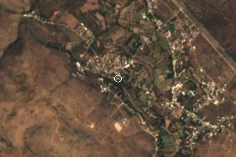


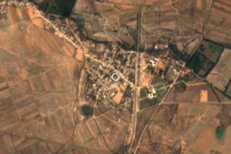

Drive times by road from OpenStreetMap, without traffic. Times marked ~ are estimated from the straight-line distance.
Location from OpenStreetMap. Written by Puebloteca.