Village Villa Juárez, San Luis Potosí
The former Santa Gertrudis de Carbonera, in the Zona Media: Río Choy springs, the Guaxcamá hacienda and a patron-saint fair on November 16.
From Rioverde: about 1 h by road (~70 km) How to get there ↓
Near here
See everything nearby ↓


Plan your visit to Villa Juárez
Where to stay near Villa Juárez
Compare hotels, posadas and guest houses in Villa Juárez.
Tours to Villa Juárez
Day trips and guided outings from Ciudad del Maíz often include Villa Juárez; with a local guide you can get there without a car.
 Tours from San Luis Potosi City
Xilitla Surrealistic Garden and Huahuas Abyss Tour
★ 4.9 (251) · From US$72
How to get to Villa Juárez
- From Rioverde: about 1 h by road (~70 km)
- Nearest airport: San Luis Potosí (SLP), 2 h 39 min by car to Ciudad del Maíz
Links open a partner site. We may earn a commission if you book, at no cost to you.
Tours from San Luis Potosi City, near Villa Juárez


Tours, prices and ratings from Viator, checked weekly. We may earn a commission if you book.
About Villa Juárez
For nearly three centuries this town was called La Carbonera. It was founded in 1643 as the congregation of Santa Gertrudis de Carbonera, though the first settlement is dated half a century earlier, around 1592, at what became the Ojo de León hacienda. It became a villa in 1829, and in 1928 governor Saturnino Cedillo renamed it after Benito Juárez.
The town has 3,488 people and stands about 1,100 metres up in the Zona Media of San Luis Potosí. Water is what sets it apart. The Puerta del Río spring gives rise to the Río Choy, which runs past the picnic spot of San Tiburcio and, some 3 km south of town, feeds the El Aguaje water park and La Presita, both busy during school holidays. It then flows on towards Rioverde. Two more springs, Ojo de León and El Sabino, water the fields.
The municipality also holds Guaxcamá, where sulphur was mined from 1808; after an explosion in one of the mines in 1972, they were abandoned. Its old hacienda keeps an arched aqueduct that carried water from the Buenavista spring, a water-driven sugar mill and a former mezcal works. Serrano chiles and maize are the main crops, and Pame families still live in the area.
Many people have left for Texas, Illinois and Nebraska, and their hometown clubs pay for local projects: a Houston foundation got the municipal market built. Many come back for the feast of Santa Gertrudis on November 16, preceded by a fair of about two weeks, with bullfights and jaripeos. Try pacholes, pipián, wedding-style asado and candied squash and chilacayote.
How to get to Villa Juárez
Villa Juárez lies north of Rioverde, 50 min and 57 km away by road; Cerritos is further north, in the next municipality. The nearest Pueblo Mágico is Tula, in Tamaulipas, 1 h 30 min and 110 km away.
Public transport: Autobuses Cerritenses has an office at Calle Miguel Hidalgo 143, in the centre. The Cerritos–Rioverde route the town relied on was suspended at the end of March 2024, and by early 2025 no other company had been authorised to run it. We found no published timetables; ask at that office or at the Rioverde bus station whether anything is running before you set out, or plan on a car or taxi from Rioverde.
Directions to Villa Juárez on Google Maps
Distances are in a straight line; the road is usually longer.
Links open a partner site. We may earn a commission if you book, at no cost to you.
From the nearest cities to Villa Juárez
- Rioverde · about 70 km by road, ~1 h
- San Luis Potosí · about 100 km by road, ~1 h 25 min
- San Luis de la Paz · about 150 km by road, ~2 h 15 min
Drive times by road from OpenStreetMap, without traffic or stops. Times marked ~ are estimated from the straight-line distance.
Before you go to Villa Juárez: hours, prices and tips
- Best season
- Feast of Santa Gertrudis on November 16, with a regional fair starting about two weeks earlier and bullfights. CEFIM, Gobierno de San Luis Potosí: infografía municipal de Villa Juárez · checked Oct 2026
Hours and prices change, especially around holidays. Each fact links to where we checked it.
Visiting Villa Juárez: what to see and do
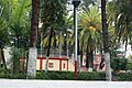
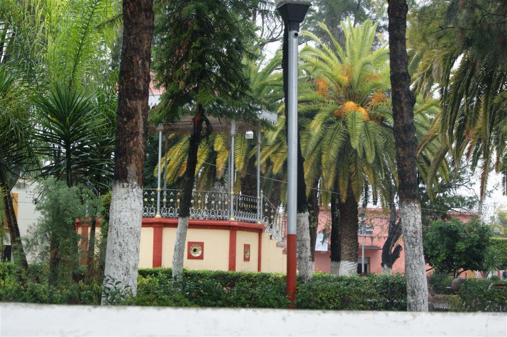
The main square and its bandstand
The Puerta del Río spring, source of the Río Choy
San Tiburcio, a picnic spot on the riverbank
The El Aguaje water park and La Presita, about 3 km south
La Sirenita, in the La Gavia colony
The Guaxcamá hacienda, with its arched aqueduct and old sulphur mines
The Ojo de León spring
Pacholes, wedding-style asado and candied chilacayote
Plan your trip
Places to stay in Villa Juárez
Compare hotels, posadas, and rentals in and around Villa Juárez.
Tours & activities
Day trips and guided outings from Ciudad del Maíz often include Villa Juárez; with a local guide you can get there without a car.
Rental cars
Pick up a car at SLP (San Luis Potosí): about 2 h 39 min by road to Ciudad del Maíz, then 69 km more to Villa Juárez, on your own schedule.
Flights
The nearest airport with scheduled flights is San Luis Potosí (SLP), about 2 h 39 min by road from Ciudad del Maíz, the base for Villa Juárez.
Mobile data
Signal can drop away from Ciudad del Maíz: download a map of the way to Villa Juárez before you set out, or carry an eSIM with data.
Links open a partner site. We may earn a commission if you book, at no cost to you.
When to go to Villa Juárez mild
Villa Juárez shares the climate of Ciudad del Maíz, 69 km away. The best months to visit are January, February, March, and December.
See the month-by-month climate of Ciudad del Maíz
Weather in Villa Juárez now and the next 7 days
Live forecast from Open-Meteo. Chance of rain is the day's highest.
The closest Pueblo Mágico: Ciudad del Maíz

Ciudad del Maíz is the Pueblo Mágico closest to Villa Juárez, with places to stay, food, and more to see.
Also close to
- Santa María del Río · San Luis Potosí · 76 km away
Closest to Villa Juárez
-
Cerritos · Town · 12 km away
-
Villa Hidalgo · Village · 45 km away
-
Ciudad Fernández · Town · 50 km away
Near Villa Juárez


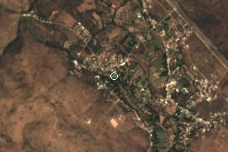


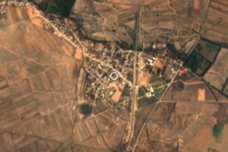

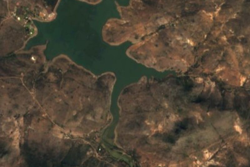
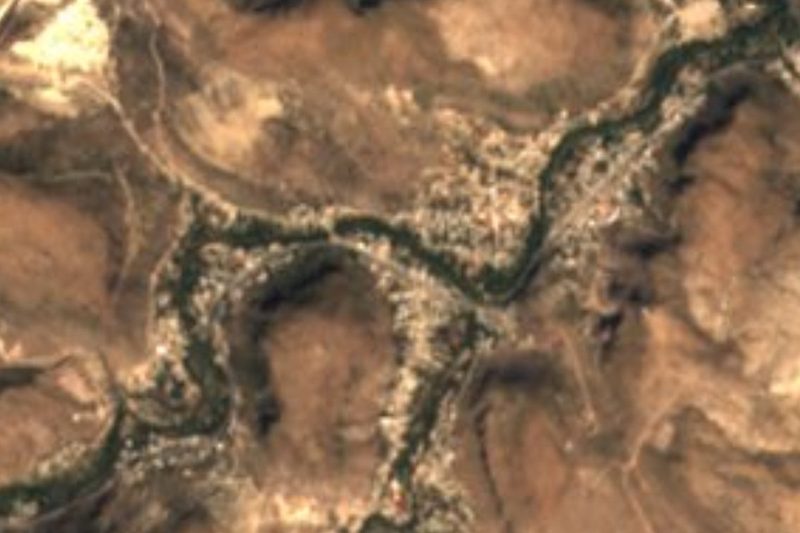
Drive times by road from OpenStreetMap, without traffic. Times marked ~ are estimated from the straight-line distance.
Location from OpenStreetMap. Written by Puebloteca.