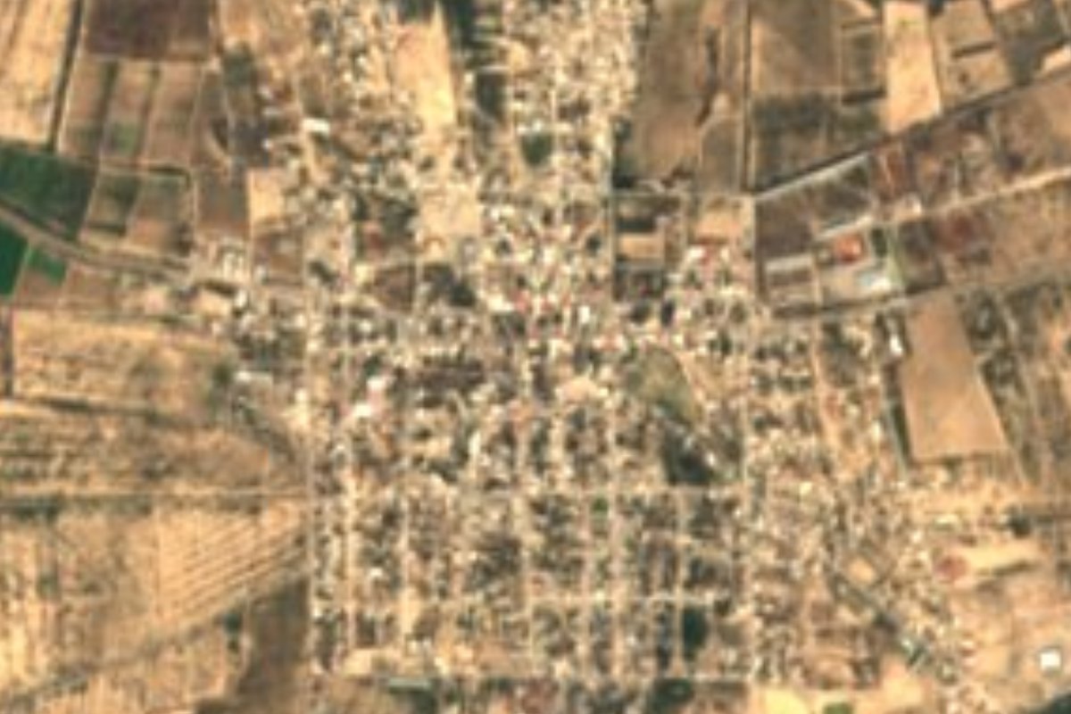
Town Villa de Arista, San Luis Potosí
Farming town on the San Luis Potosí plains, once Jagüey de los Reyna, named after President Mariano Arista; patron-saint feast on 4 July.
From San Luis Potosí: about 1 h 5 min by road (~75 km) How to get there ↓
Near here
See everything nearby ↓


Plan your visit to Villa de Arista
Where to stay near Villa de Arista
Compare hotels, posadas and guest houses in Villa de Arista.
Tours to Villa de Arista
Day trips around Pinos sometimes stop in Villa de Arista; a tour is the easy way to see it without a car.
 Tours from San Luis Potosi City
Xilitla Surrealistic Garden and Huahuas Abyss Tour
★ 4.9 (251) · From US$72
How to get to Villa de Arista
- From San Luis Potosí: about 1 h 5 min by road (~75 km)
- Nearest airport: San Luis Potosí (SLP), 1 h 35 min by car to Pinos
Links open a partner site. We may earn a commission if you book, at no cost to you.
Tours from San Luis Potosi City, near Villa de Arista


Tours, prices and ratings from Viator, checked weekly. We may earn a commission if you book.
About Villa de Arista
Villa de Arista is a plains town at 1,610 metres, an hour north of the city of San Luis Potosí, with 8,464 people at the 2020 census. Flat thorn scrub stretches all around, with the Sierra Las Pilas to the north. There are no rivers here; water comes from wells, and more than half of the working population lives off crops and livestock.
The area stayed nearly empty through the 16th and 17th centuries. In 1711 Juan Zeferino claimed a plot here that he called the Jagüey, after a watering pond; Antonio Reyna settled it with his ten sons, and it became the Jagüey de los Reyna. In 1840 the government shared out the land among the residents, who laid out streets, and the church was finished in 1857. That year a state decree made it a villa named Arista, after Mariano Arista, the San Luis Potosí general who led the Army of the North against the United States in 1847 and was president of Mexico from 1851 to 1853. The new name took a while to stick: in 1864 locals still called it San Cristóbal or Jagüey de los Reyna.
The municipality was abolished in 1946 and folded into Villa Hidalgo until the state congress restored it in 1972. The parish church, with its tower and dome, remains the building the town is proudest of. Local food means red enchiladas and, for something sweet, queso de tuna, a firm paste of prickly-pear fruit; mezcal and pulque are the drinks. The climate is semi-arid, with May highs above 40 °C and summer rains.
How to get to Villa de Arista
From the city of San Luis Potosí it is 1 h 05 min and 64 km by road. The shortest route heads north on state roads through Peñasco and the Bocas area and ends on the Mantequilla–Villa de Arista road. Santa María del Río, the nearest Pueblo Mágico, is 1 h 45 min and 111 km away by road. We found no official published bus timetable; online ticket sites list only a few daily departures between the San Luis Potosí terminal and the centre of Villa de Arista, so check at the Central Terrestre Potosina before you go.
Directions to Villa de Arista on Google Maps
Distances are in a straight line; the road is usually longer.
Links open a partner site. We may earn a commission if you book, at no cost to you.
From the nearest cities to Villa de Arista
- San Luis Potosí · about 75 km by road, ~1 h 5 min
- Matehuala · about 145 km by road, ~2 h 10 min
- Rioverde · about 155 km by road, ~2 h 15 min
Drive times by road from OpenStreetMap, without traffic or stops. Times marked ~ are estimated from the straight-line distance.
Before you go to Villa de Arista: hours, prices and tips
- Best time of day
- Semi-arid climate: highs above 40 °C in May, lows near 6 °C in January and rain in summer. Wikipedia (es), Municipio de Villa de Arista · checked Oct 2026
- Best season
- Feast of the Virgen del Refugio, the patron saint, on 4 July; Holy Cross on 3 May and Señor de la Misericordia on 6 May; Agrarian Day on 27 September. Wikipedia (es), Municipio de Villa de Arista · checked Oct 2026
Hours and prices change, especially around holidays. Each fact links to where we checked it.
Visiting Villa de Arista: what to see and do
The parish church, finished in 1857, with its tower and dome
La Laguna park
The old hacienda at Venta del Carmen
The old hacienda at Derramaderos
The greenhouses of Rancho Santa Rita
The feast of the Virgen del Refugio, the patron saint, on 4 July
Plan your trip
Places to stay in Villa de Arista
Compare hotels, posadas, and rentals in and around Villa de Arista.
Tours & activities
Day trips around Pinos sometimes stop in Villa de Arista; a tour is the easy way to see it without a car.
Rental cars
Pick up a car at SLP (San Luis Potosí): about 1 h 35 min by road to Pinos, then 84 km more to Villa de Arista, on your own schedule.
Flights
The nearest airport with scheduled flights is San Luis Potosí (SLP), about 1 h 35 min by road from Pinos, the base for Villa de Arista.
Mobile data
Signal can drop away from Pinos: download a map of the way to Villa de Arista before you set out, or carry an eSIM with data.
Links open a partner site. We may earn a commission if you book, at no cost to you.
When to go to Villa de Arista cool
Villa de Arista shares the climate of Pinos, 84 km away. The best months to visit are January, March, April, and November.
See the month-by-month climate of Pinos
Weather in Villa de Arista now and the next 7 days
Live forecast from Open-Meteo. Chance of rain is the day's highest.
The closest Pueblo Mágico: Pinos

Pinos is the Pueblo Mágico closest to Villa de Arista, with places to stay, food, and more to see.
Closest to Villa de Arista
-
Moctezuma · Town · 27 km away
-
Villa Hidalgo · Village · 28 km away
-
Venado · Town · 41 km away
-
Ahualulco del Sonido 13 · Town · 42 km away
Near Villa de Arista




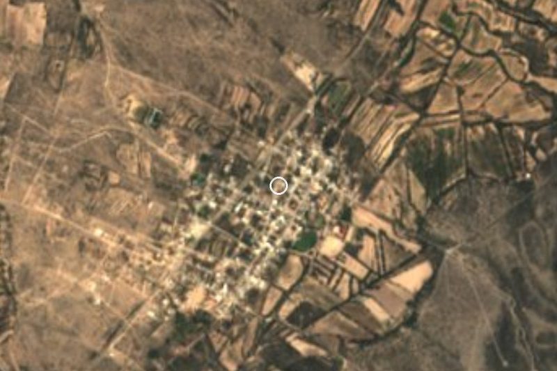
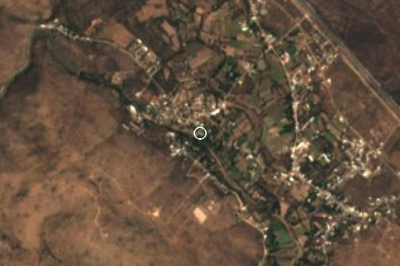
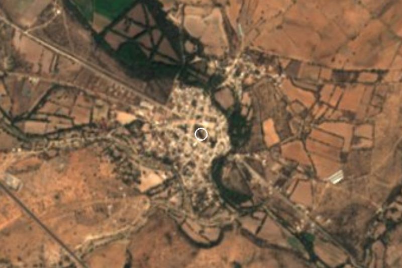
Drive times by road from OpenStreetMap, without traffic. Times marked ~ are estimated from the straight-line distance.
Location from OpenStreetMap. Written by Puebloteca.