Town Moctezuma, San Luis Potosí
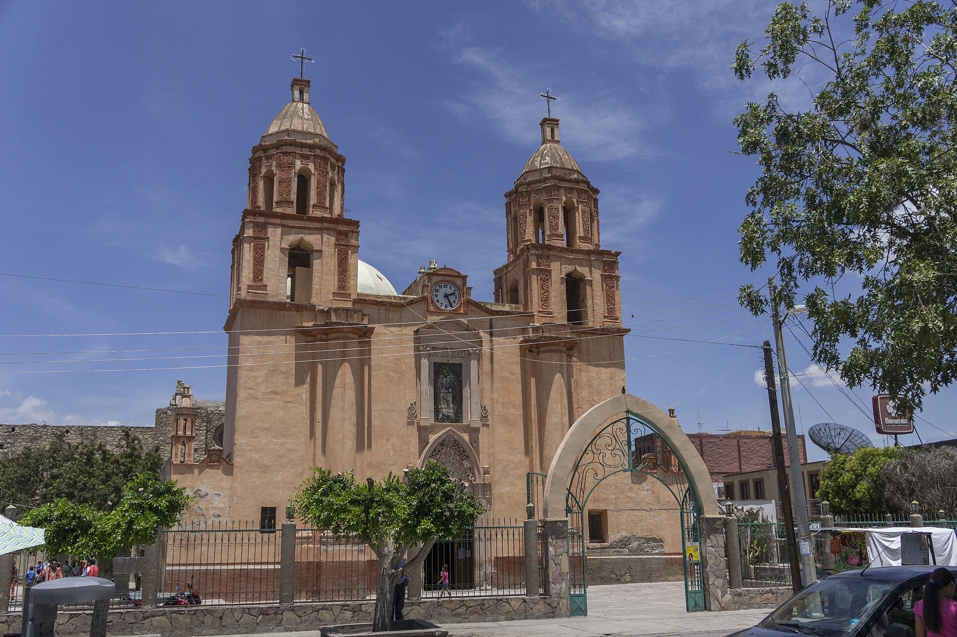
Plateau town once called San Jerónimo del Agua Hedionda, with a San Jerónimo parish church, a July Santa Ana fair and old haciendas nearby.
From San Luis Potosí: about 1 h 15 min by road (~85 km) How to get there ↓
Near here
See everything nearby ↓


Plan your visit to Moctezuma
Where to stay near Moctezuma
Compare hotels, posadas and guest houses in Moctezuma.
Tours to Moctezuma
Day trips around Pinos sometimes stop in Moctezuma; a tour is the easy way to see it without a car.
 Tours from San Luis Potosi City
Xilitla Surrealistic Garden and Huahuas Abyss Tour
★ 4.9 (251) · From US$72
How to get to Moctezuma
- From San Luis Potosí: about 1 h 15 min by road (~85 km)
- Nearest airport: San Luis Potosí (SLP), 1 h 35 min by car to Pinos
Links open a partner site. We may earn a commission if you book, at no cost to you.
Tours from San Luis Potosi City, near Moctezuma


Tours, prices and ratings from Viator, checked weekly. We may earn a commission if you book.
About Moctezuma
Moctezuma is a municipal seat in the west of the state, at roughly 1,700 metres, amid rolling hills and low ranges (El Durazno to the north, El Jacalón to the southwest). About 5,200 people live in town.
It began as San Jerónimo del Agua Hedionda, "of the foul-smelling water", with 1552 the earliest founding date put forward. Late in the 16th century Tlaxcalan families were brought north to settle among the Guachichil people, and the settlement answered to the Franciscan friary at Venado. For centuries it was simply La Hedionda, until a decree in the 1860s renamed it Ciudad Moctezuma after General Esteban Moctezuma, who was actually born in Alaquines on the other side of the state.
Large haciendas grew up around it, chief among them Cruces, whose lands spilled into today's Venado and Salinas municipalities. Mining had its moment in the late 19th century: a smelting works opened near town in 1899, and mercury veins with names like Bonanza, Vulcano and La Encantada were worked.
The main fiesta honours Santa Ana from 18 to 28 July in the Barrio de Tlaxcala, drawing pilgrims and emigrants home from Monterrey and the United States for matachín dancers, brass bands, fireworks and the regional fair, FEREMOC. San Jerónimo, the patron saint, has his day on 30 September, and on the night of 1 November singers dressed as monks walk the streets with funeral chants. On the table: carnitas, turkey in mole and alma negra, an almond sweet.
How to get to Moctezuma
Moctezuma is on federal highway 63: leave San Luis Potosí to the northwest, pass through Ahualulco and carry on north on the paved Ahualulco-Moctezuma road, which becomes Calzada Niños Héroes in town. It is 1 h 25 min and 87 km by road from San Luis Potosí, and 2 h and 126 km from Pinos, the nearest Pueblo Mágico, in Zacatecas. We found no published bus timetable to Moctezuma; ask at the Central de Autobuses in San Luis Potosí for services along highway 63 towards Ahualulco, Moctezuma and Venado.
Directions to Moctezuma on Google Maps
Distances are in a straight line; the road is usually longer.
Links open a partner site. We may earn a commission if you book, at no cost to you.
From the nearest cities to Moctezuma
- San Luis Potosí · about 85 km by road, ~1 h 15 min
- Matehuala · about 145 km by road, ~2 h 5 min
- Rioverde · about 185 km by road, ~2 h 45 min
Drive times by road from OpenStreetMap, without traffic or stops. Times marked ~ are estimated from the straight-line distance.
Before you go to Moctezuma: hours, prices and tips
- Best season
- Santa Ana fiesta and FEREMOC fair 18-28 July (busiest 26-28); San Jerónimo on 30 September. Wikipedia (es), Municipio de Moctezuma (San Luis Potosí) · checked Oct 2026
Hours and prices change, especially around holidays. Each fact links to where we checked it.
Visiting Moctezuma: what to see and do
The twin-towered parish church of San Jerónimo, facing the town garden
The Barrio de Tlaxcala, home of the July Santa Ana fiesta
The former San Antonio de Rul cattle hacienda, with a neoclassical manor and an arcaded courtyard
The former Cruces hacienda and its warm spring
The Ojo de Agua bathing park
Plan your trip
Places to stay in Moctezuma
Compare hotels, posadas, and rentals in and around Moctezuma.
Tours & activities
Day trips around Pinos sometimes stop in Moctezuma; a tour is the easy way to see it without a car.
Rental cars
Pick up a car at SLP (San Luis Potosí): about 1 h 35 min by road to Pinos, then 71 km more to Moctezuma, on your own schedule.
Flights
The nearest airport with scheduled flights is San Luis Potosí (SLP), about 1 h 35 min by road from Pinos, the base for Moctezuma.
Mobile data
Signal can drop away from Pinos: download a map of the way to Moctezuma before you set out, or carry an eSIM with data.
Links open a partner site. We may earn a commission if you book, at no cost to you.
When to go to Moctezuma cool
Moctezuma shares the climate of Pinos, 71 km away. The best months to visit are January, March, April, and November.
See the month-by-month climate of Pinos
Weather in Moctezuma now and the next 7 days
Live forecast from Open-Meteo. Chance of rain is the day's highest.
The closest Pueblo Mágico: Pinos

Pinos is the Pueblo Mágico closest to Moctezuma, with places to stay, food, and more to see.
Closest to Moctezuma
-
Venado · Town · 21 km away
-
Villa de Arista · Town · 27 km away
-
Ahualulco del Sonido 13 · Town · 40 km away
-
Charcas · Town · 43 km away
Near Moctezuma

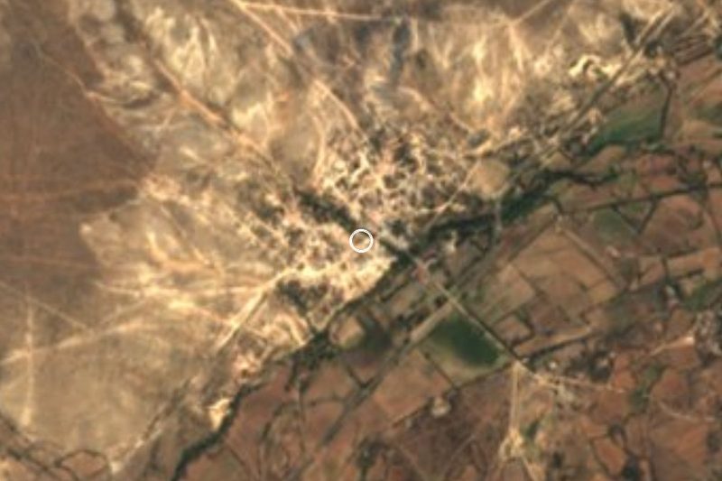


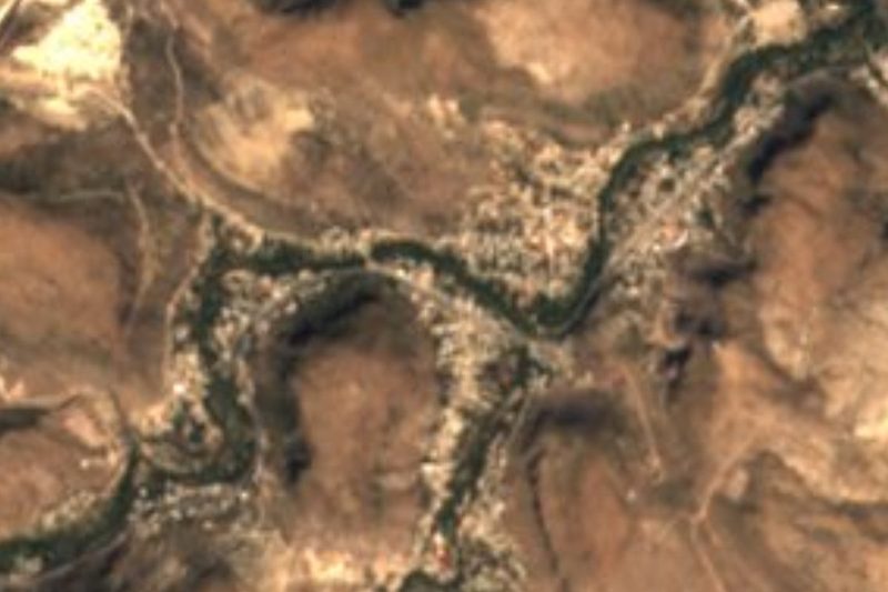
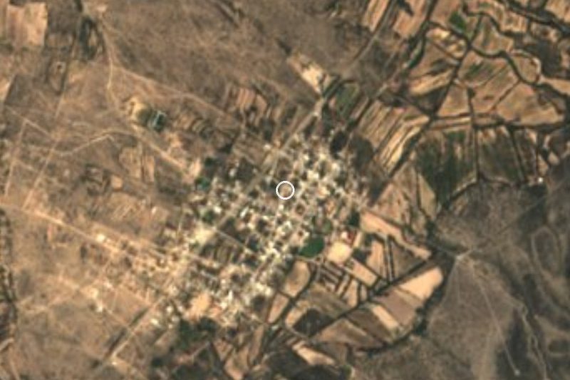


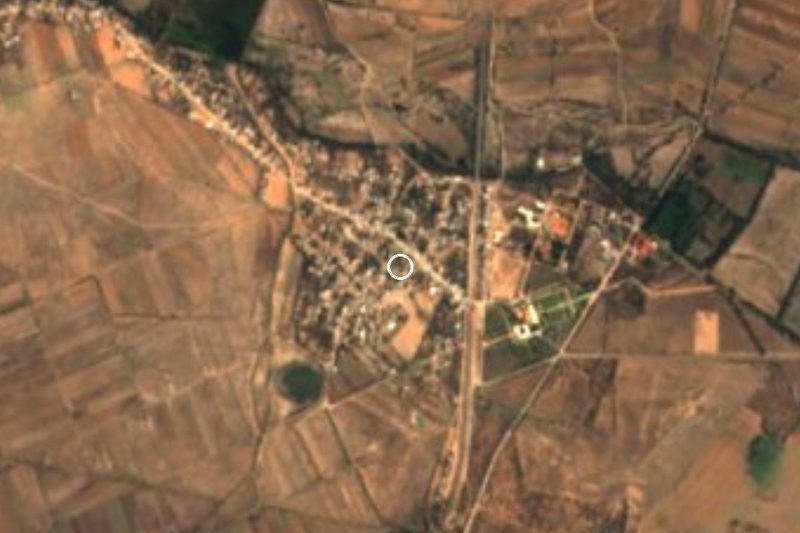


Drive times by road from OpenStreetMap, without traffic. Times marked ~ are estimated from the straight-line distance.
Location from OpenStreetMap. Written by Puebloteca.