Town Villa González Ortega, Zacatecas
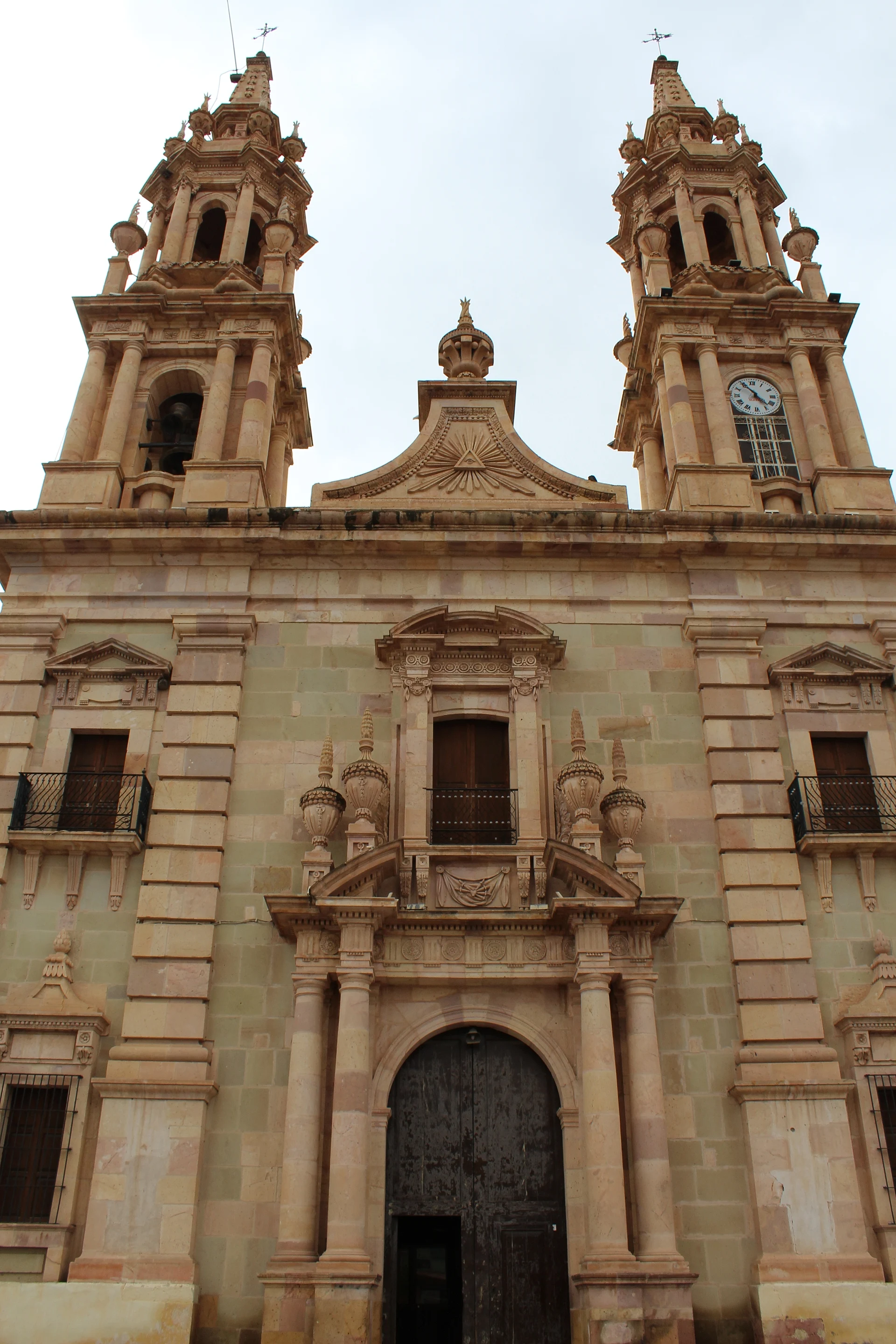
The old El Carro hacienda: an 1855 neoclassical church over the Moncada family crypt, part of the Camino Real de Tierra Adentro.
From Zacatecas: about 1 h 25 min by road (~95 km) How to get there ↓
Near here
See everything nearby ↓


Plan your visit to Villa González Ortega
Where to stay near Villa González Ortega
Compare hotels, posadas and guest houses in Villa González Ortega.
Tours to Villa González Ortega
Day trips around Real de Asientos sometimes stop in Villa González Ortega; a tour is the easy way to see it without a car.
How to get to Villa González Ortega
- From Zacatecas: about 1 h 25 min by road (~95 km)
- Nearest airport: Aguascalientes (AGU), 1 h 25 min by car to Real de Asientos
Links open a partner site. We may earn a commission if you book, at no cost to you.
About Villa González Ortega
Until 1922 this town in southeastern Zacatecas was called El Carro, after the cattle hacienda whose lands it grew on. It sits on the high plateau, 2,000 to 2,400 metres up, on a dry plain with no permanent rivers, broken by low hills and mesas, where farmers grow corn, beans, grapes and alfalfa.
The land was first granted to Diego de Ibarra, one of the Spaniards who found the silver of Zacatecas. The estate belonged to the vast Ciénaga de Mata holdings, and in 1818 it passed to Colonel Juan Nepomuceno de Moncada y Berrio, Count of San Mateo de Valparaíso and Marquess of Jaral de Berrio. His will paid for the Church of Santa Teresa, also called Our Lady of Sorrows, built in pink stone between 1850 and 1855. Two towers rise to octagonal belfries and a tall dome lights the nave. The church stands raised above the street because a crypt beneath it holds members of the Moncada family. Since 2010 it has been one of the Camino Real de Tierra Adentro sites on the World Heritage list.
The hacienda's main house is now the town hall, with vaulted galleries and a tower probably built in the 19th century against Comanche raids. A municipality since 1890, El Carro prospered most under Porfirio Díaz; when the hacienda was broken up after the Revolution, the municipality lost half its people. The town was renamed for Jesús González Ortega, who led the Liberal armies in the Reform War and governed Zacatecas. About 6,600 people live in the town today.
How to get to Villa González Ortega
Villa González Ortega is 1 h 20 min from Zacatecas, 81 km by road, and 55 min from Pinos, the nearest Pueblo Mágico, 48 km. The last stretch is paved state highway 212 from Ojocaliente, and state highway 144 (Ojocaliente to Ojuelos de Jalisco) runs past the town. Federal Highway 49, between Zacatecas and San Luis Potosí, crosses the north of the municipality.
We found no published bus timetable to Villa González Ortega. Ask about regional buses at the Zacatecas bus station or in Ojocaliente; a car makes the trip far easier.
Directions to Villa González Ortega on Google Maps
Distances are in a straight line; the road is usually longer.
Links open a partner site. We may earn a commission if you book, at no cost to you.
From the nearest cities to Villa González Ortega
- Zacatecas · about 95 km by road, ~1 h 25 min
- Aguascalientes · about 105 km by road, ~1 h 35 min
- San Luis Potosí · about 135 km by road, ~2 h
Drive times by road from OpenStreetMap, without traffic or stops. Times marked ~ are estimated from the straight-line distance.
Visiting Villa González Ortega: what to see and do
The Church of Santa Teresa (Our Lady of Sorrows), neoclassical, 1850-1855
Its doorway of paired Doric columns and the two stone towers
The ribbed-vault nave and the dome raised on columns
The main house of the former El Carro hacienda, now the town hall, with its vaulted galleries
The 19th-century defensive tower beside the main house
Plan your trip
Places to stay in Villa González Ortega
Compare hotels, posadas, and rentals in and around Villa González Ortega.
Tours & activities
Day trips around Real de Asientos sometimes stop in Villa González Ortega; a tour is the easy way to see it without a car.
Rental cars
Pick up a car at AGU (Aguascalientes): about 1 h 25 min by road to Real de Asientos, then 35 km more to Villa González Ortega, on your own schedule.
Flights
The nearest airport with scheduled flights is Aguascalientes (AGU), about 1 h 25 min by road from Real de Asientos, the base for Villa González Ortega.
Mobile data
Signal can drop away from Real de Asientos: download a map of the way to Villa González Ortega before you set out, or carry an eSIM with data.
Links open a partner site. We may earn a commission if you book, at no cost to you.
When to go to Villa González Ortega mild
Villa González Ortega shares the climate of Real de Asientos, 35 km away. The best months to visit are January, March, April, and May.
See the month-by-month climate of Real de Asientos
Weather in Villa González Ortega now and the next 7 days
Live forecast from Open-Meteo. Chance of rain is the day's highest.
The closest Pueblo Mágico: Real de Asientos

Real de Asientos is the Pueblo Mágico closest to Villa González Ortega, with places to stay, food, and more to see.
Also close to
- Pinos · Zacatecas · 42 km away
- Pabellón de Hidalgo · Aguascalientes · 58 km away
- San José de Gracia · Aguascalientes · 65 km away
- Guadalupe · Zacatecas · 67 km away
Closest to Villa González Ortega
-
Ojocaliente · Town · 35 km away
-
La Pendencia · Landmark · 36 km away
-
Hacienda de Ciénega Grande · Landmark · 37 km away
-
Tepezalá · Town · 42 km away
Near Villa González Ortega

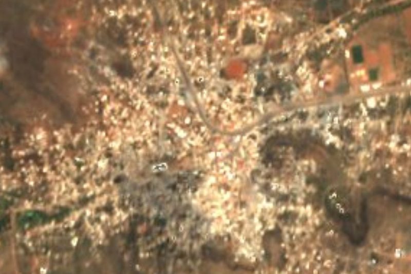


Drive times by road from OpenStreetMap, without traffic. Times marked ~ are estimated from the straight-line distance.
Location from OpenStreetMap. Written by Puebloteca.