
Town Ojocaliente, Zacatecas
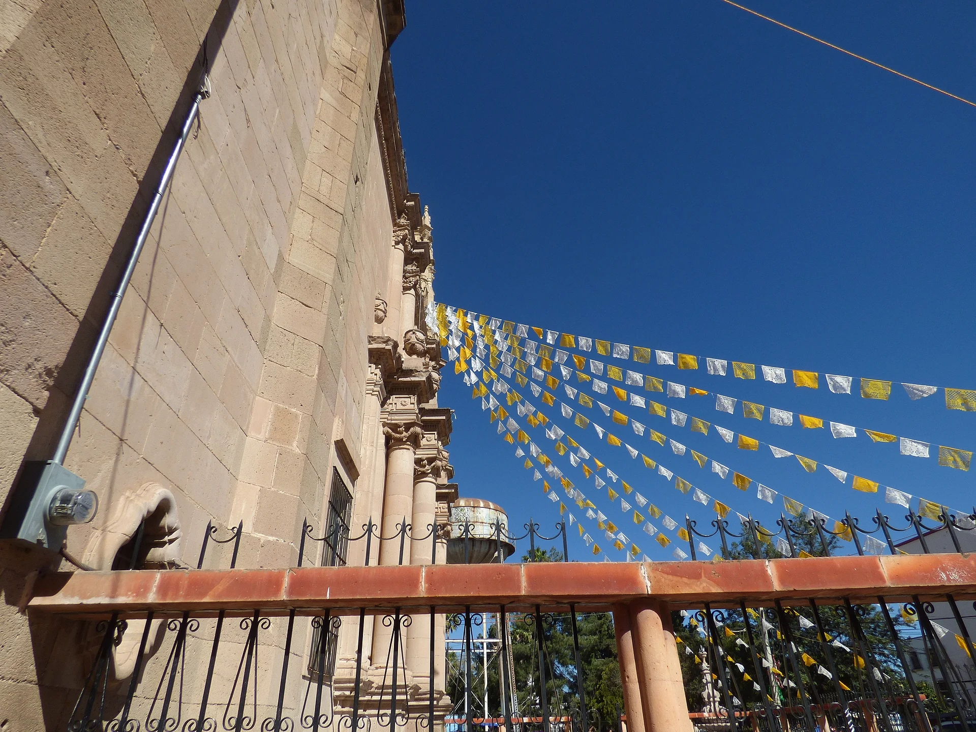
Old mining camp southeast of Zacatecas, with its Milagros parish church and the Cueva de Ávalos, painted by the Guachichil people.
From Zacatecas: about 45 min by road (~50 km) How to get there ↓
Near here
See everything nearby ↓


Plan your visit to Ojocaliente
Where to stay near Ojocaliente
Compare hotels, posadas and guest houses in Ojocaliente.
Tours to Ojocaliente
Day trips around Guadalupe sometimes stop in Ojocaliente; a tour is the easy way to see it without a car.
How to get to Ojocaliente
- From Zacatecas: about 45 min by road (~50 km)
- Nearest airport: Zacatecas (ZCL), 34 min by car to Guadalupe
Links open a partner site. We may earn a commission if you book, at no cost to you.
About Ojocaliente
Ojocaliente, "hot spring", is named for the thermal spring that once sat in the middle of town. Before the Spanish arrived the spot was called Cusilique, from cuisillo, "the temple by the spring". Silver brought the Real de Minas de Ojocaliente, founded around 1620. In 1765 it became a villa as Villa del Sacramento y Real de Ojocaliente, and during the War of Independence people added "de Bastidas" after Captain Andrés de la Bastida, owner of the land around the spring. In 1927 the spring caused a quarrel between townspeople and the federal government when soldiers took to bathing in the town's only water supply.
Today about 22,000 people live here, 2,040 metres up, in a town cut in half by Federal Highway 45; the state congress has named it a Ciudad Histórica. Its farms grow beans, maize, barley, potatoes, prickly pears and grapes, with vineyards and wineries. The patroness is Our Lady of Miracles, whose parish church anchors the centre. There is a regional Prickly Pear and Grape Fair, plus matlachines dancers, bullfights and mutton birria.
High in the Sierra de Tlacotes, above the Cuisilique valley, is the Cueva de Ávalos, a natural rock terrace about 20 by 15 metres that opens to the southeast. Its walls carry some 90 painted motifs, made from clay scraped off the same rock and mixed with water and lime, mostly small human figures, credited to Guachichil painters of the colonial era, who recorded how they saw the Spanish arrival. It is part of the Camino Real de Tierra Adentro.
How to get to Ojocaliente
Ojocaliente sits on Federal Highway 45, the Zacatecas to Aguascalientes road, which runs straight through the middle of town. From Zacatecas it is 50 min and 47 km by road, by way of Guadalupe; from Guadalupe, the nearest Pueblo Mágico, it is 40 min and 41 km. Zacatecas airport is about 55 km to the north.
Public transport: we found no published bus timetable between Zacatecas and Ojocaliente on the bus lines' own sites. Ask for departures to Ojocaliente at the Central de Autobuses in Zacatecas; buses heading south on Highway 45 toward Aguascalientes pass through town. No transport serves the Cueva de Ávalos, so go with someone local.
Directions to Ojocaliente on Google Maps
Distances are in a straight line; the road is usually longer.
Links open a partner site. We may earn a commission if you book, at no cost to you.
From the nearest cities to Ojocaliente
- Zacatecas · about 50 km by road, ~45 min
- Aguascalientes · about 100 km by road, ~1 h 30 min
- Fresnillo · about 120 km by road, ~1 h 45 min
Drive times by road from OpenStreetMap, without traffic or stops. Times marked ~ are estimated from the straight-line distance.
Before you go to Ojocaliente: hours, prices and tips
- Rules
- The US State Department rates Zacatecas "Do Not Travel" for crime and kidnapping; in September 2026 a car bomb hit Ojocaliente's municipal police. Check the situation before you go. US Department of State; N+ Zacatecas · checked Oct 2026
Hours and prices change, especially around holidays. Each fact links to where we checked it.
Visiting Ojocaliente: what to see and do
The Parish of Our Lady of Miracles in the town centre
The historic centre of the old Villa del Sacramento
The Cueva de Ávalos and its roughly 90 Guachichil paintings, in the Sierra de Tlacotes
The Chepinque community museum
The Palmillas community museum
Mutton birria and wine from the local vineyards
Plan your trip
Places to stay in Ojocaliente
Compare hotels, posadas, and rentals in and around Ojocaliente.
Tours & activities
Day trips around Guadalupe sometimes stop in Ojocaliente; a tour is the easy way to see it without a car.
Rental cars
Pick up a car at ZCL (Zacatecas): about 34 min by road to Guadalupe, then 34 km more to Ojocaliente, on your own schedule.
Flights
The nearest airport with scheduled flights is Zacatecas (ZCL), about 34 min by road from Guadalupe, the base for Ojocaliente.
Mobile data
Signal can drop away from Guadalupe: download a map of the way to Ojocaliente before you set out, or carry an eSIM with data.
Links open a partner site. We may earn a commission if you book, at no cost to you.
When to go to Ojocaliente cool
Ojocaliente shares the climate of Guadalupe, 34 km away. The best months to visit are January, March, April, and December.
See the month-by-month climate of Guadalupe
Weather in Ojocaliente now and the next 7 days
Live forecast from Open-Meteo. Chance of rain is the day's highest.
The closest Pueblo Mágico: Guadalupe

Guadalupe is the Pueblo Mágico closest to Ojocaliente, with places to stay, food, and more to see.
Also close to
- Real de Asientos · Aguascalientes · 40 km away
- Pabellón de Hidalgo · Aguascalientes · 45 km away
- San José de Gracia · Aguascalientes · 50 km away
- Villanueva · Zacatecas · 69 km away
- Pinos · Zacatecas · 76 km away
Closest to Ojocaliente
-
Trancoso · Town · 22 km away
-
Tacoaleche · Town · 32 km away
-
Villa González Ortega · Town · 35 km away
-
Rincón de Romos · Town · 39 km away
-
Tepezalá · Town · 39 km away
-
Zacatecas · City · 40 km away
-
Mexicapan · Landmark · 41 km away
-
Boca de Túnel · Nature reserve · 42 km away


Near Ojocaliente



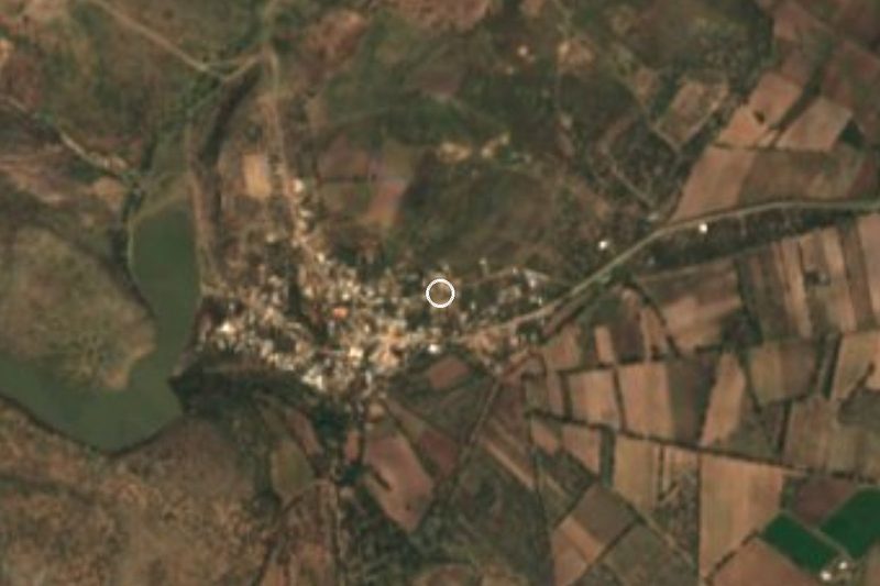

Drive times by road from OpenStreetMap, without traffic. Times marked ~ are estimated from the straight-line distance.
Location from OpenStreetMap. Written by Puebloteca.