

Village Xichú, Guanajuato Sierra Gorda
Gateway to Guanajuato's Sierra Gorda: huapango arribeño, year-end topadas and a parish with an octagonal dome.
From San Luis de la Paz: 1 h 25 min by car (77 km by road) How to get there ↓
Near here
See everything nearby ↓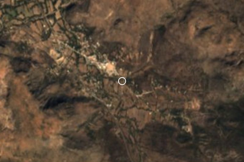



Plan your visit to Xichú
Where to stay near Xichú
Compare hotels, posadas and guest houses in Xichú.
Tours to Xichú
Day trips and guided outings from Mineral de Pozos often include Xichú; with a local guide you can get there without a car.
 Tours from San Miguel de Allende
Immersive Cañada de La Virgen Pyramid Tour
★ 4.8 (803) · From US$84
How to get to Xichú
- From San Luis de la Paz: about 1 h 25 min by road (~77 km)
- Nearest airport: Querétaro (QRO), 1 h 39 min by car to Mineral de Pozos
Links open a partner site. We may earn a commission if you book, at no cost to you.
Tours from San Miguel de Allende, near Xichú


Tours, prices and ratings from Viator, checked weekly. We may earn a commission if you book.
About Xichú
Xichú sits in the far northeast corner of Guanajuato at 1,302 metres, in a municipality that lies entirely inside the Sierra Gorda de Guanajuato Biosphere Reserve. Before the Spanish arrived the area was called Maxichú, a name usually rendered as "my grandmother's brotherhood", a nod to the Chichimec people who lived here. The town itself counts 1,738 residents and the municipality 11,143 across 80 localities, so Xichú works as the service centre for the whole sierra.
What sets it apart is its music. The huapango arribeño, a variant of the huapango that began taking shape in the 18th century, is played and sung here with improvised verse. The big event is the topada: two groups of huapangueros challenge each other in rhymed stanzas while the crowd dances. At the year-end festival the topada starts at midnight on 31 December, with the New Year fireworks, and runs well into the morning of 1 January. Los Leones de la Sierra de Xichú, led by Guillermo Velázquez, have spent more than thirty years carrying the tradition across Mexico and abroad.
The December festival honours the older huapangueros and marks the founding of the town; it has included a procession to the cemetery, blessing of offerings and a "Diálogo de Tradiciones" of improvised poetry. The other date in the calendar is the patron saint's feast of San Francisco de Asís on 3 October. His parish church, with an octagonal dome and artwork inside, is the most recognisable building in the centre, and the main square is named for Fernando Rosas.
The terrain is pure sierra: the municipality ranges from roughly 826 to 2,400 metres, with a semi-dry temperate climate, summer rain, hot afternoons in May (recorded highs up to 38 °C) and cold early mornings in January.
How to get to Xichú
Drive from San Luis de la Paz: 1 h 25 min, 77 km
By road, the most direct approach is from San Luis de la Paz: about 70 km of paved road in good condition, a little over an hour. From Querétaro take toll road 57D and then federal highway 110 toward San Luis de la Paz, and continue on to Xichú. From León the full drive is around 3 hours 40 minutes. About 21 km from Xichú, on the side toward Victoria, the road forks: one branch runs on dirt toward Victoria and the other on asphalt toward San Luis de la Paz. Victoria, the nearest municipal seat, is about 30 km away, but that mountain stretch is slower than the map suggests.
There is no published bus or combi timetable for Xichú. The practical route is to reach the Central de Autobuses in San Luis de la Paz (connections from Querétaro and Mexico City) and ask there about local transport, or ask the municipal offices (tel. 419 294 1018).
Directions to Xichú on Google Maps
Distances are in a straight line; the road is usually longer.
Links open a partner site. We may earn a commission if you book, at no cost to you.
From the nearest cities to Xichú
- San Luis de la Paz · 77 km by road, 1 h 25 min
- Dolores Hidalgo · 125 km by road, 2 h 10 min
- San Miguel de Allende · 126 km by road, 2 h 25 min
Drive times by road from OpenStreetMap, without traffic or stops. Times marked ~ are estimated from the straight-line distance.
Before you go to Xichú: hours, prices and tips
- Best time of day
- Diciembre por el festival; el verano trae lluvias y mayo es el mes más caluroso. Wikipedia · checked Oct 2026
- Best season
- Fiesta de fin de año con topada de huapango arribeño desde la medianoche del 31 de diciembre; fiesta patronal el 3 de octubre. México Desconocido · checked Oct 2026
- Guide or tour
- No hace falta guía. México Desconocido · checked Oct 2026
Hours and prices change, especially around holidays. Each fact links to where we checked it.
Visiting Xichú: what to see and do
Parish church of San Francisco de Asís, with its octagonal dome
Main square, Plaza Fernando Rosas
Huapango arribeño topada at the year-end festival (29 to 31 December in recent editions)
Patron saint's feast, 3 October
Sierra Gorda scenery along the road in
Plan your trip
Places to stay in Xichú
Compare hotels, posadas, and rentals in and around Xichú.
Tours & activities
Day trips and guided outings from Mineral de Pozos often include Xichú; with a local guide you can get there without a car.
Rental cars
Pick up a car at QRO (Querétaro): about 1 h 39 min by road to Mineral de Pozos, then 46 km more to Xichú, on your own schedule.
Flights
The nearest airport with scheduled flights is Querétaro (QRO), about 1 h 39 min by road from Mineral de Pozos, the base for Xichú.
Mobile data
Signal can drop away from Mineral de Pozos: download a map of the way to Xichú before you set out, or carry an eSIM with data.
Links open a partner site. We may earn a commission if you book, at no cost to you.
When to go to Xichú cool
Xichú shares the climate of Mineral de Pozos, 46 km away. The best months to visit are January, February, March, and April.
See the month-by-month climate of Mineral de Pozos
Weather in Xichú now and the next 7 days
Live forecast from Open-Meteo. Chance of rain is the day's highest.
The closest Pueblo Mágico: Mineral de Pozos

Mineral de Pozos is the Pueblo Mágico closest to Xichú, with places to stay, food, and more to see.
Also close to
- Pinal de Amoles · Querétaro · 48 km away
- Jalpan · Querétaro · 61 km away
- Bernal · Querétaro · 63 km away
- San Joaquín · Querétaro · 67 km away
- Tierranueva · San Luis Potosí · 71 km away
Closest to Xichú
-
Zona Arqueológica Arroyo Seco · Archaeological site · 19 km away
-
Doctor Mora · Town · 32 km away
-
Paso de Vaqueros · Nature reserve · 33 km away
-
Rincón del Cano · Village · 33 km away
-
Peñamiller · Town · 37 km away
-
Sótano del Barro · Cave · 41 km away
-
Cerro El Zamorano · Mountain · 43 km away
-
Misión de Chichimecas · Town · 44 km away

Near Xichú






Drive times by road from OpenStreetMap, without traffic. Times marked ~ are estimated from the straight-line distance.
Location from OpenStreetMap. Written by Puebloteca.