Town Villa de Arriaga, San Luis Potosí
High-plains town on the San Luis Potosí to Lagos de Moreno road, with an 1881 Guadalupe chapel, a 1930s aqueduct and old mezcal haciendas.
From San Luis Potosí: about 55 min by road (~65 km) How to get there ↓
Near here
See everything nearby ↓


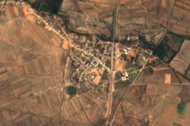
Plan your visit to Villa de Arriaga
Where to stay near Villa de Arriaga
Compare hotels, posadas and guest houses in Villa de Arriaga.
Tours to Villa de Arriaga
Day trips around Pinos sometimes stop in Villa de Arriaga; a tour is the easy way to see it without a car.
 Tours from San Luis Potosi City
Xilitla Surrealistic Garden and Huahuas Abyss Tour
★ 4.9 (251) · From US$72
How to get to Villa de Arriaga
- From San Luis Potosí: about 55 min by road (~65 km)
- Nearest airport: San Luis Potosí (SLP), 1 h 35 min by car to Pinos
Links open a partner site. We may earn a commission if you book, at no cost to you.
Tours from San Luis Potosi City, near Villa de Arriaga


Tours, prices and ratings from Viator, checked weekly. We may earn a commission if you book.
About Villa de Arriaga
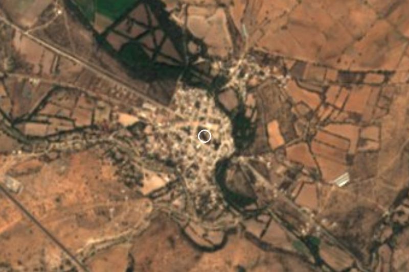
Villa de Arriaga lies in the south-west of the state at 2,100 metres, in the corner where San Luis Potosí meets Zacatecas, Jalisco and Guanajuato. It is the seat of a municipality of just over 18,000 people, about 6,100 of whom live in the town. The name honours Ponciano Arriaga, whom the state calls its Benemérito.
It grew out of a settlement called El Gallo, a resting place for pilgrims in the early 1600s, on land of the Gallinas hacienda, which in 1685 belonged to Antonio Maldonado Zapata. When the hacienda became a religious brotherhood it raised a chapel to the Virgin of Guadalupe, finished in 1881. Work began in 1936 on an aqueduct, designed by engineer Mariano Obregón, to bring water to the town.
Several hacienda buildings survive around the municipality. Santiago, with arcaded colonial courtyards in good repair, now houses a mezcal distillery; Gallinas, San Francisco, El Tepetate, Puerto Espino and Santa Lucía are the others. Local cooking runs to cheese-stuffed chiles and carnitas, washed down with mezcal or colonche, a fermented prickly-pear drink.
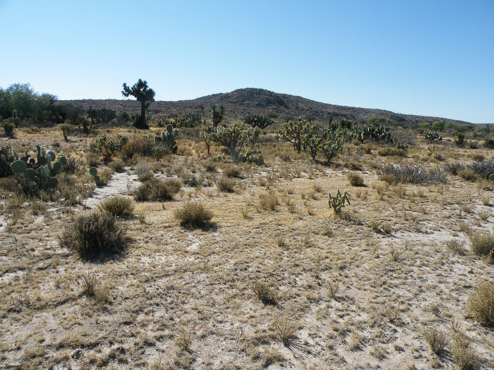
The country is cold steppe: hills such as Cerro del Gallo at 2,300 metres, small lakes like El Carmen, El Caballo and El Tule, and yucca and cactus flats grazed by cattle or planted after the summer rains. The yearly average is around 16 °C. Besides farming, many residents now work in manufacturing and construction.
How to get to Villa de Arriaga
Villa de Arriaga is on federal highway 80 (sharing its route with highway 70 here), the road from San Luis Potosí to Lagos de Moreno and Guadalajara; a bypass skirts the town, and the 80D toll road between the state capital and Lagos de Moreno also runs past. It is 55 min and 62 km by road from the city of San Luis Potosí, and 1 h and 86 km from Lagos de Moreno, the nearest Pueblo Mágico. We found no published bus timetable to the town; ask at the Terminal Terrestre Potosina for buses to Lagos de Moreno on the free road that stop in Villa de Arriaga, or go by taxi or car.
Directions to Villa de Arriaga on Google Maps
Distances are in a straight line; the road is usually longer.
Links open a partner site. We may earn a commission if you book, at no cost to you.
From the nearest cities to Villa de Arriaga
- San Luis Potosí · about 65 km by road, ~55 min
- Lagos de Moreno · about 110 km by road, ~1 h 35 min
- León · about 120 km by road, ~1 h 45 min
Drive times by road from OpenStreetMap, without traffic or stops. Times marked ~ are estimated from the straight-line distance.
Before you go to Villa de Arriaga: hours, prices and tips
- Best season
- Saint Francis of Assisi on 4 October; the Virgin of Guadalupe in early December up to the 12th; Saint Isidore the Farmer on 15 May; Independence festivities 15 to 17 September. Wikipedia (es), Municipio de Villa de Arriaga; CEFIM San Luis Potosí · checked Oct 2026
Hours and prices change, especially around holidays. Each fact links to where we checked it.
Visiting Villa de Arriaga: what to see and do
The chapel of the Virgin of Guadalupe, finished in 1881
The aqueduct begun in 1936
The Santiago hacienda, with arcaded courtyards and a mezcal distillery
The old Gallinas, San Francisco, El Tepetate, Puerto Espino and Santa Lucía haciendas
The yucca flats and small lakes of the municipality
Plan your trip
Places to stay in Villa de Arriaga
Compare hotels, posadas, and rentals in and around Villa de Arriaga.
Tours & activities
Day trips around Pinos sometimes stop in Villa de Arriaga; a tour is the easy way to see it without a car.
Rental cars
Pick up a car at SLP (San Luis Potosí): about 1 h 35 min by road to Pinos, then 48 km more to Villa de Arriaga, on your own schedule.
Flights
The nearest airport with scheduled flights is San Luis Potosí (SLP), about 1 h 35 min by road from Pinos, the base for Villa de Arriaga.
Mobile data
Signal can drop away from Pinos: download a map of the way to Villa de Arriaga before you set out, or carry an eSIM with data.
Links open a partner site. We may earn a commission if you book, at no cost to you.
When to go to Villa de Arriaga cool
Villa de Arriaga shares the climate of Pinos, 48 km away. The best months to visit are January, March, April, and November.
See the month-by-month climate of Pinos
Weather in Villa de Arriaga now and the next 7 days
Live forecast from Open-Meteo. Chance of rain is the day's highest.
The closest Pueblo Mágico: Pinos

Pinos is the Pueblo Mágico closest to Villa de Arriaga, with places to stay, food, and more to see.
Also close to
- Santa María del Río · San Luis Potosí · 68 km away
Closest to Villa de Arriaga
-
Ojuelos de Jalisco · Town · 22 km away
-
Hacienda de Bledos · Landmark · 28 km away
-
Ocampo · Town · 31 km away
-
Escalerillas · Town · 39 km away
-
Jaral de Berrios · Village · 45 km away
-
Hacienda Jesús María · Landmark · 48 km away
-
Parque Nacional Gogorrón · Hot springs · 48 km away
-
Villa de Reyes · Town · 48 km away

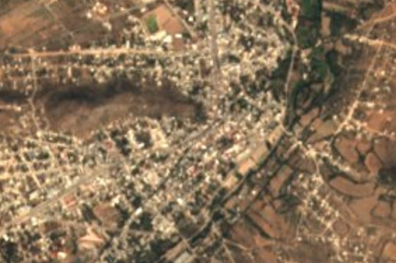
Near Villa de Arriaga


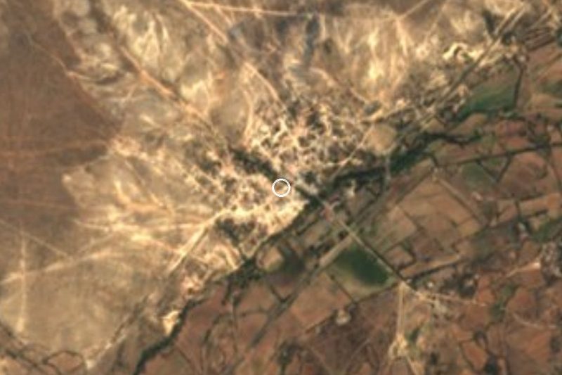
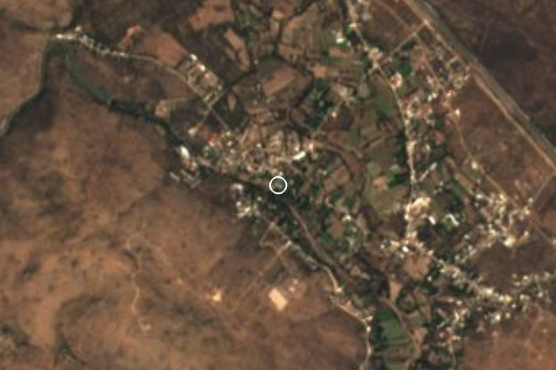



Drive times by road from OpenStreetMap, without traffic. Times marked ~ are estimated from the straight-line distance.
Location from OpenStreetMap. Written by Puebloteca.