Village Opodepe, Sonora
An Ópata seat dating from 1649 on the ironwood plain, with its plaza and Asunción church, a detour off Highway 15 near Querobabi.
From Hermosillo: about 1 h 55 min by road (~125 km) How to get there ↓
Plan your visit to Opodepe
Where to stay near Opodepe
Compare hotels, posadas and guest houses in Opodepe.
Tours to Opodepe
Day trips and guided outings from Ures often include Opodepe; with a local guide you can get there without a car.
How to get to Opodepe
- From Hermosillo: about 1 h 55 min by road (~125 km)
- Nearest airport: Hermosillo (HMO), 1 h 28 min by car to Ures
Links open a partner site. We may earn a commission if you book, at no cost to you.
About Opodepe
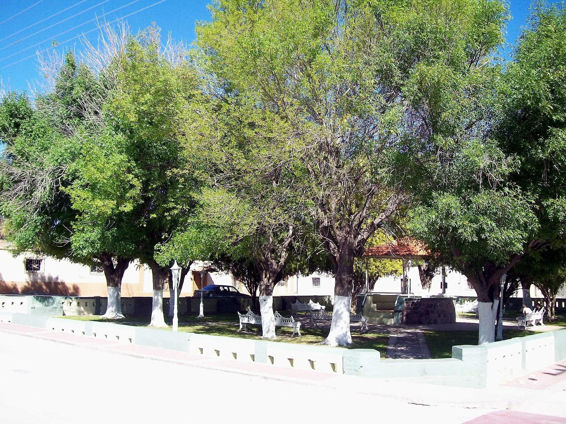
Opodepe is the seat of the municipality of the same name in north-central Sonora, on land the Ópata people held before the Spanish arrived. The name comes from their language and translates as the field or plain of the ironwood, the very hard tree of the Sonoran Desert. The town was founded in 1649 as the mission of Nuestra Señora de la Asunción de Opodepe. The town keeps its church and its municipal plaza.
It sits about 650 meters up, among low hills and flats, and gets a little over 400 mm of rain a year. The town has been emptying out: it reached 1,050 people in 1950, had 515 in 1990 and counted 295 in the 2020 census. Meanwhile Querobabi, the settlement of the same municipality right on Federal Highway 15, grew from 900 people in 1980 to 3,900 in 2005; it holds what little industry the area has, kilns making brick, roof tile and floor tile, mostly sold to the United States.
The rest of the municipality lives from farming and cattle, and much of what is planted, such as ryegrass, barley, sorghum and alfalfa, is feed for the herds. Also in the municipality is Tuape, a hamlet of about 75 people with its own mission of San Miguel.
How to get to Opodepe
From Hermosillo, head north on Federal Highway 15 (toll) to the Querobabi area, then take the side road into Opodepe: about 2 h 25 min and 133 km by road in all. From Ures it is 1 h 25 min and 65 km. We found no reliable information on buses or colectivos reaching the town; plan on driving.
Directions to Opodepe on Google Maps
Distances are in a straight line; the road is usually longer.
Links open a partner site. We may earn a commission if you book, at no cost to you.
From the nearest cities to Opodepe
- Hermosillo · about 125 km by road, ~1 h 55 min
- Nogales · about 205 km by road, ~3 h 5 min
- Caborca · about 220 km by road, ~3 h 15 min
Drive times by road from OpenStreetMap, without traffic or stops. Times marked ~ are estimated from the straight-line distance.
Visiting Opodepe: what to see and do
The church of Nuestra Señora de la Asunción, from the mission founded in 1649
The municipal plaza
The ironwood plains that give the town its name
Tuape and its San Miguel mission, in the same municipality
Plan your trip
Places to stay in Opodepe
Compare hotels, posadas, and rentals in and around Opodepe.
Tours & activities
Day trips and guided outings from Ures often include Opodepe; with a local guide you can get there without a car.
Rental cars
Pick up a car at HMO (Hermosillo): about 1 h 28 min by road to Ures, then 60 km more to Opodepe, on your own schedule.
Flights
The nearest airport with scheduled flights is Hermosillo (HMO), about 1 h 28 min by road from Ures, the base for Opodepe.
Mobile data
Signal can drop away from Ures: download a map of the way to Opodepe before you set out, or carry an eSIM with data.
Links open a partner site. We may earn a commission if you book, at no cost to you.
When to go to Opodepe warm
Opodepe shares the climate of Ures, 60 km away. The best months to visit are January, February, November, and December.
See the month-by-month climate of Ures
Weather in Opodepe now and the next 7 days
Live forecast from Open-Meteo. Chance of rain is the day's highest.
The closest Pueblo Mágico: Ures

Ures is the Pueblo Mágico closest to Opodepe, with places to stay, food, and more to see.
Closest to Opodepe
-
Aguas Termales de Aconchi · Hot springs · 35 km away

Near Opodepe

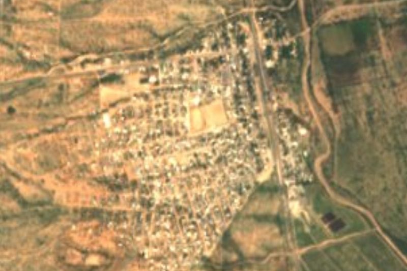


Drive times by road from OpenStreetMap, without traffic. Times marked ~ are estimated from the straight-line distance.
Location from OpenStreetMap. Written by Puebloteca.